Gjønakvitingen (1213 m) from Gjøn in Fusa
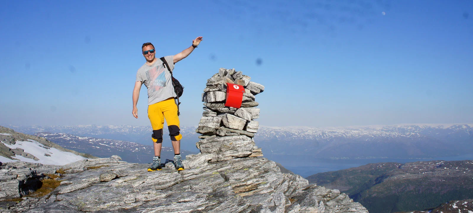
Gjønakvitingen (1213 moh) fra Gjøn i Fusa
Photo: Admin

The GPX Track is for guidance only and may contain errors. Use at your own risk.
– always check maps, weather and conditions before your trip.

Access

From Bergen, drive to Arna and continue towards Samnanger. Drive past Bjørkheim cafe and continue through the tunnels. When you have passed the Hagaås tunnel, turn right at the roundabout at Tysse. Drive all the way to Eikelandsosen and continue towards Mundheim.
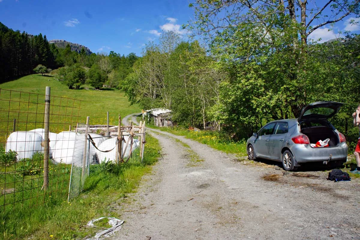
Follow the road approx. 5 km. and turn left at the sign 'Øvre Hålandsdal / Tveita'. Drive down the hill towards Tveita and over the bridge at Eidegren (south end of Gjønvatnet). Follow the road further and turn left at the sign 'Gjøn'. Follow the road to the end just past the bus stop.

Parking

Free parking at Gjøn. Please note that there are only a few spaces.

Description

Gjønakvitingen (1213 moh) i Fusa. Den flotteste og mest spektakulære turen du kan gå i området.

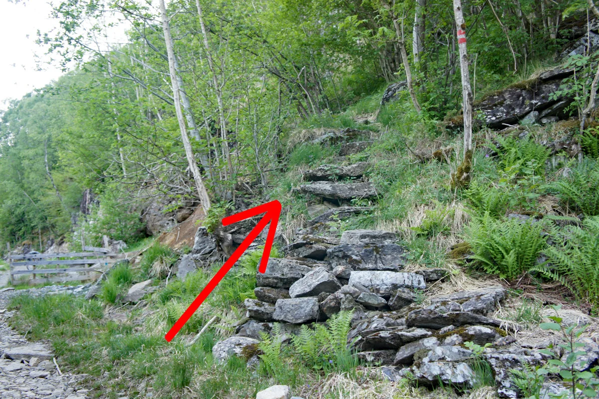
The hike begins on a forest road that winds up the mountainside. Go past the woodshed and follow the road around the sharp bend to the left to Stussklevia. Here the road flattens out and the forest road continues straight ahead.  Følg med etter stien på høyre side som leder av skogsveien inn i skogen. Stien snegler seg  oppover fjellet og etter en stund kommer til skilt merket 'Gjønakvitingen'.   Like etter kommer du inn i en bratt parti som fører deg over tregrensen.

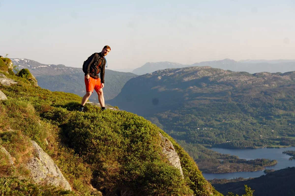
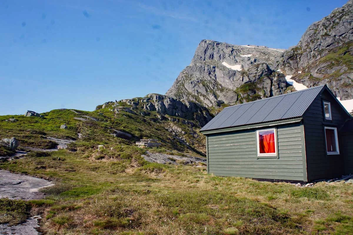
Når du kommer over tregrensen følger du stien videre opp til utsiktspunktet Gyttro. Her går det stupbratt ned i Gjønavatnet.  Nå er det fjellterreng og stien er merket med røde malingsflekker. Gå forbi stølen og følg stien videre oppover fjellsiden gjennom Norddalen. Når du har kommet opp i dalen går stien på venstre side bratt mot Kvitingsnibba (Om du ikke har høydeskrekk anbefales det å gå ut på Kvitingsnibba. Her kan man kan se 1000 meter rett ned.)

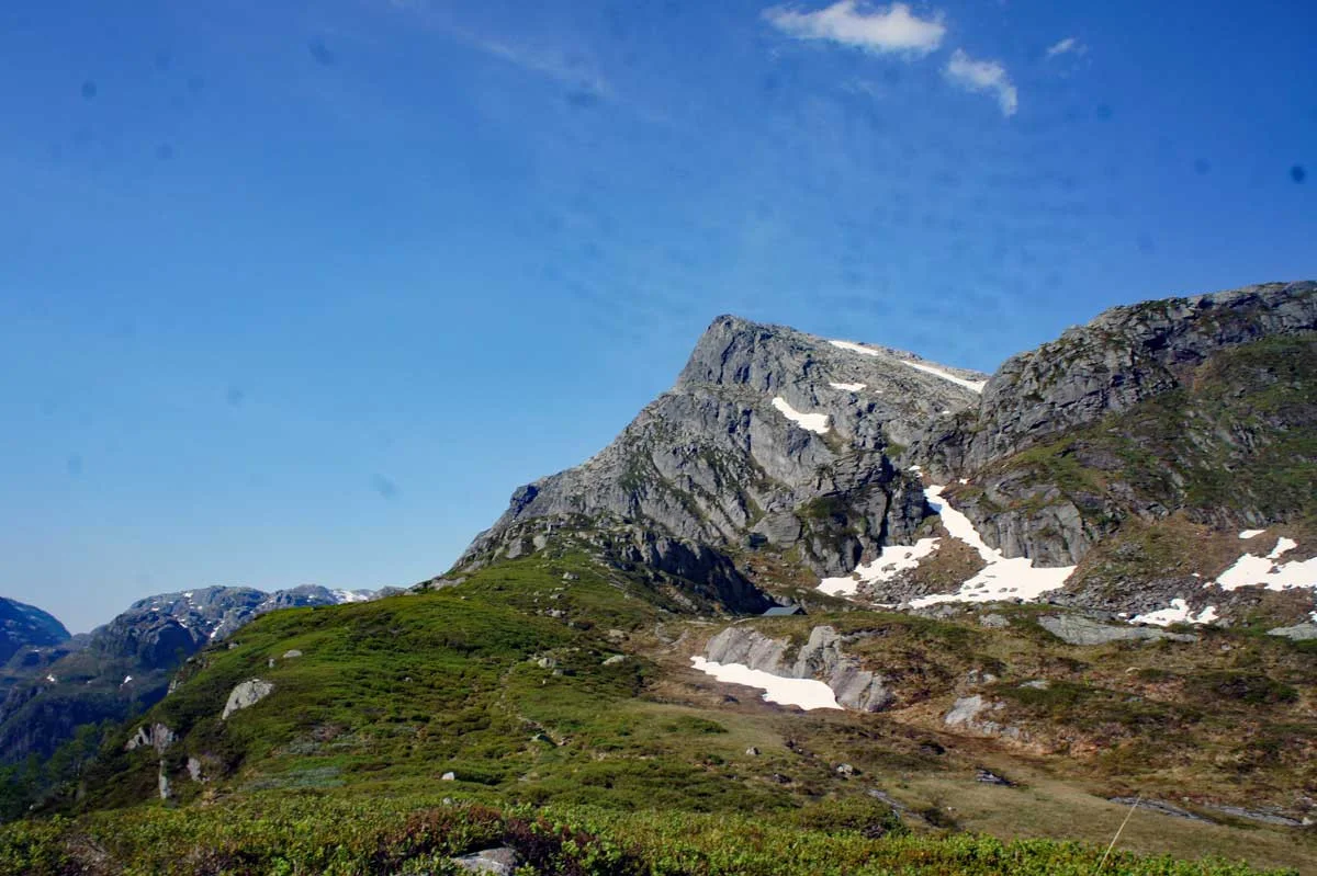
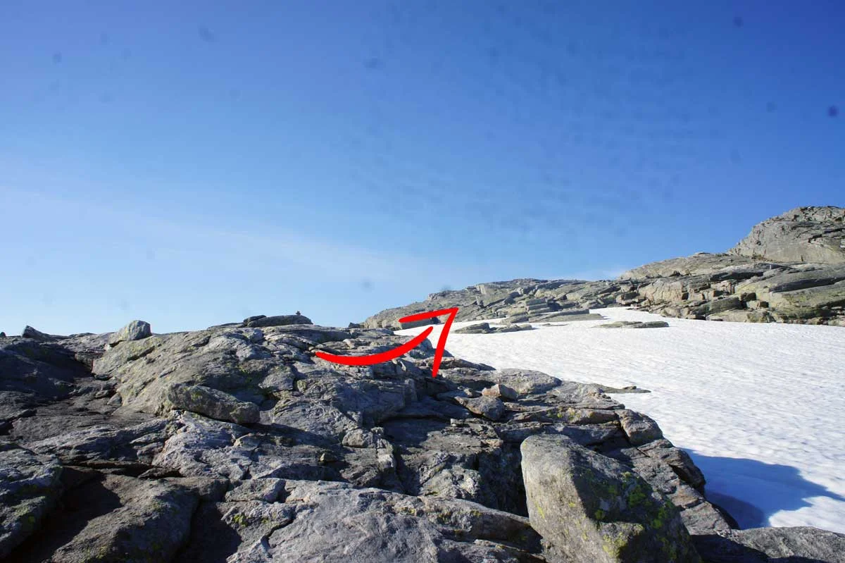
The path up the mountainside is bad. So keep an eye out for small red-painted cairns. The terrain is rocky and rough. At about 1100 meters it flattens out. Then there is a final climb up Gjønakvitingen.

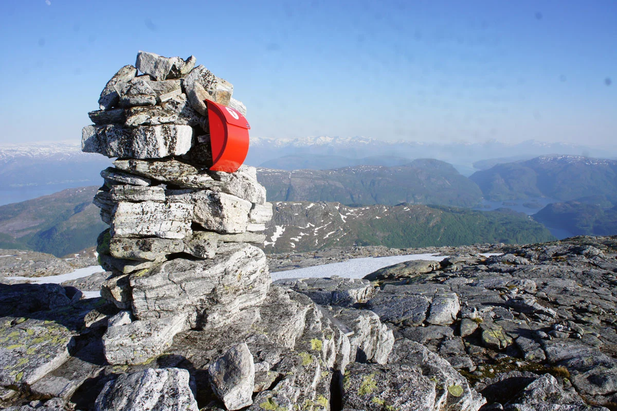
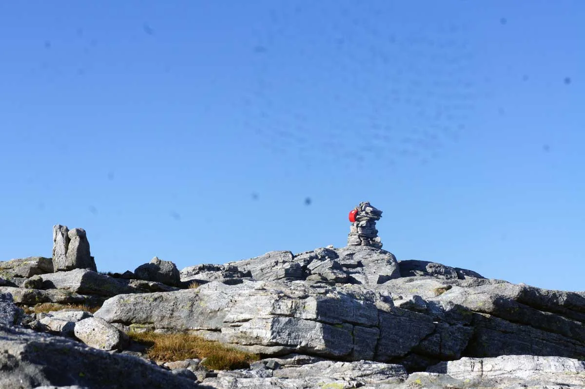
At the top there is a cairn, a book and panoramic views in all directions.

Return the same way.


Information

Gjønakvitingen 1213 m.
Length round trip approximately 14 km.
Time: approximately 5-7 hours.
Season: Late spring/summer/autumn
Rating: Extra Demanding

Processing elevation data.. .

You use GPX files that you download from our server 100% at your own risk.

Accommodation nearby

Hiking nearby