
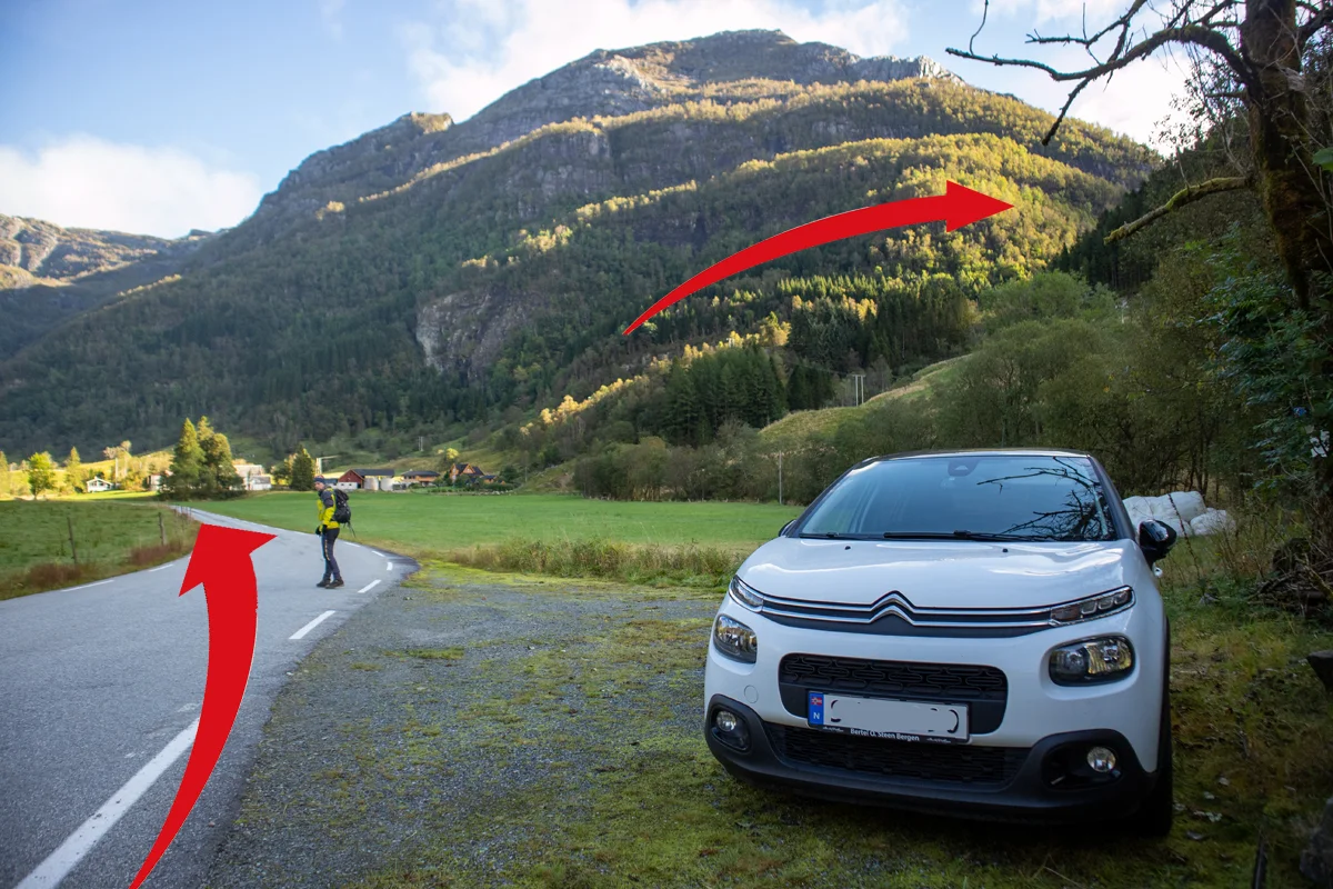
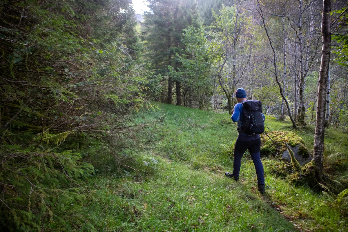
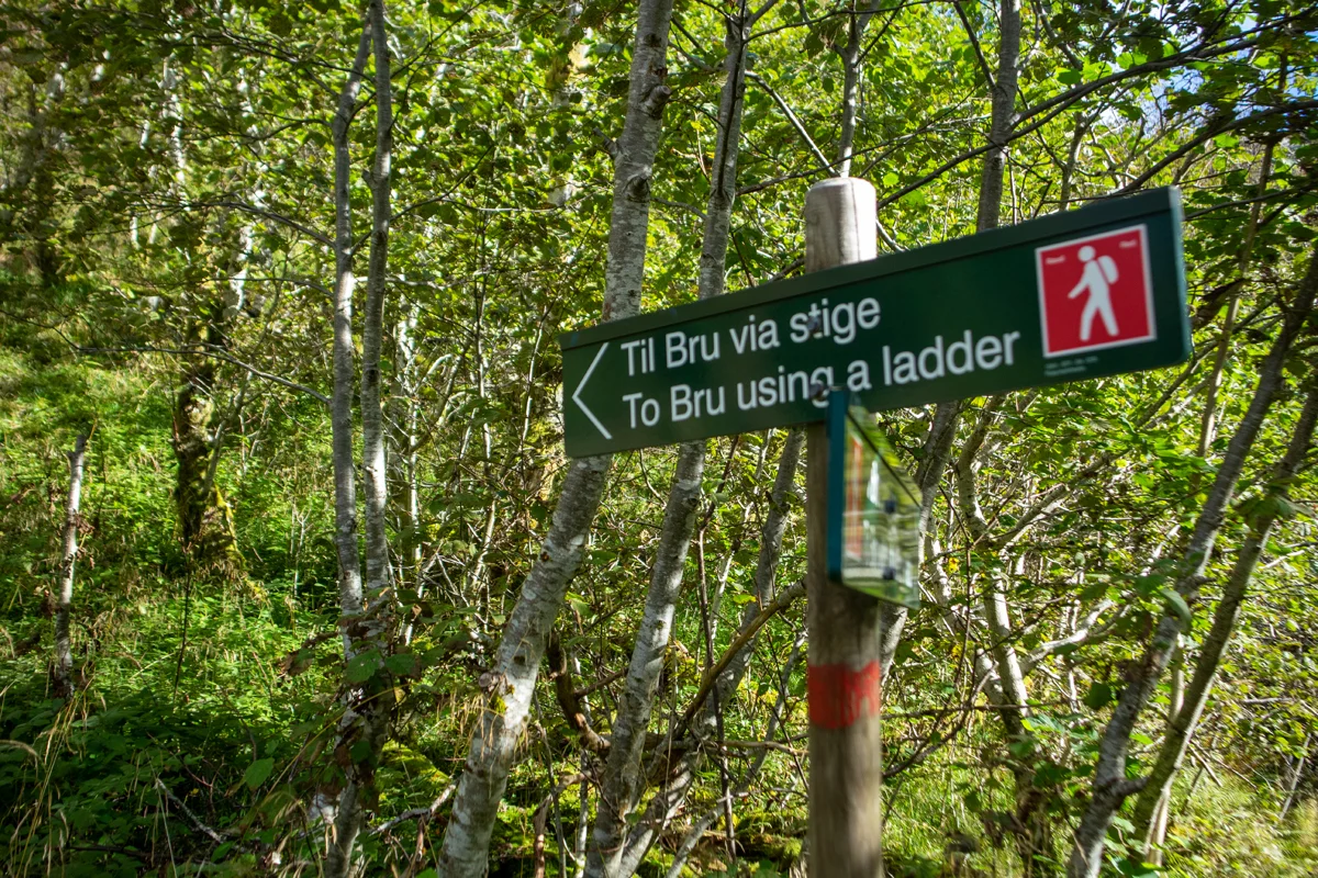
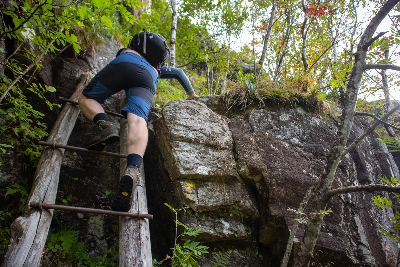
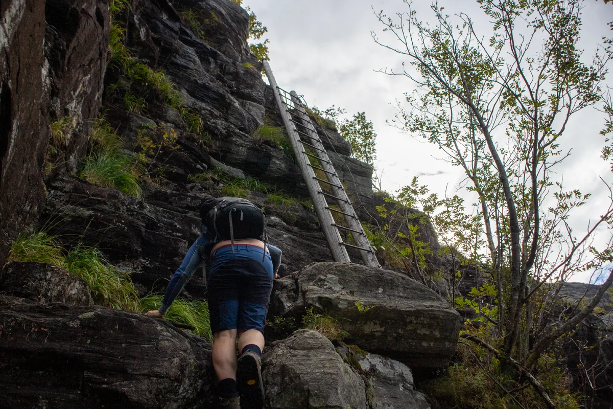
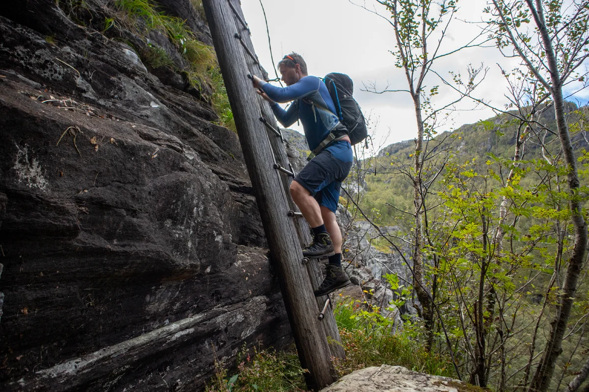
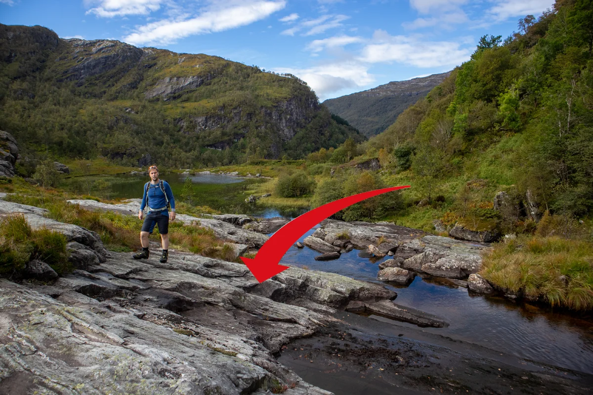
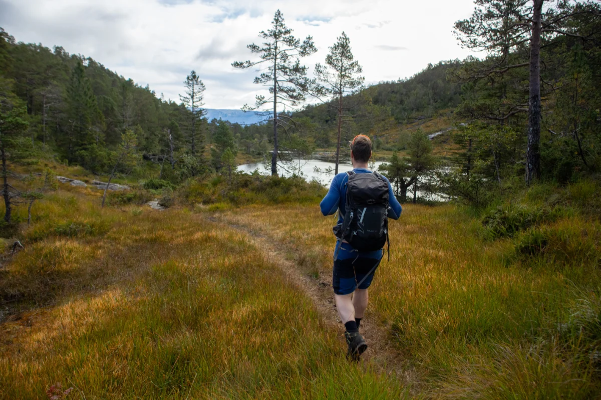
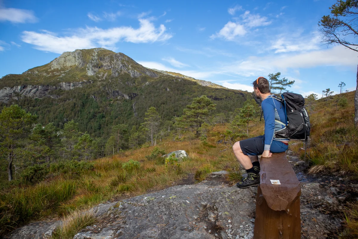
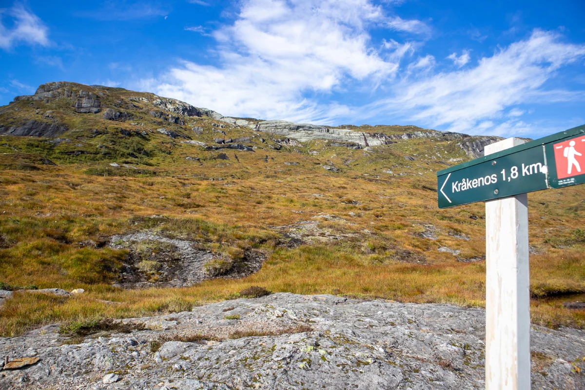
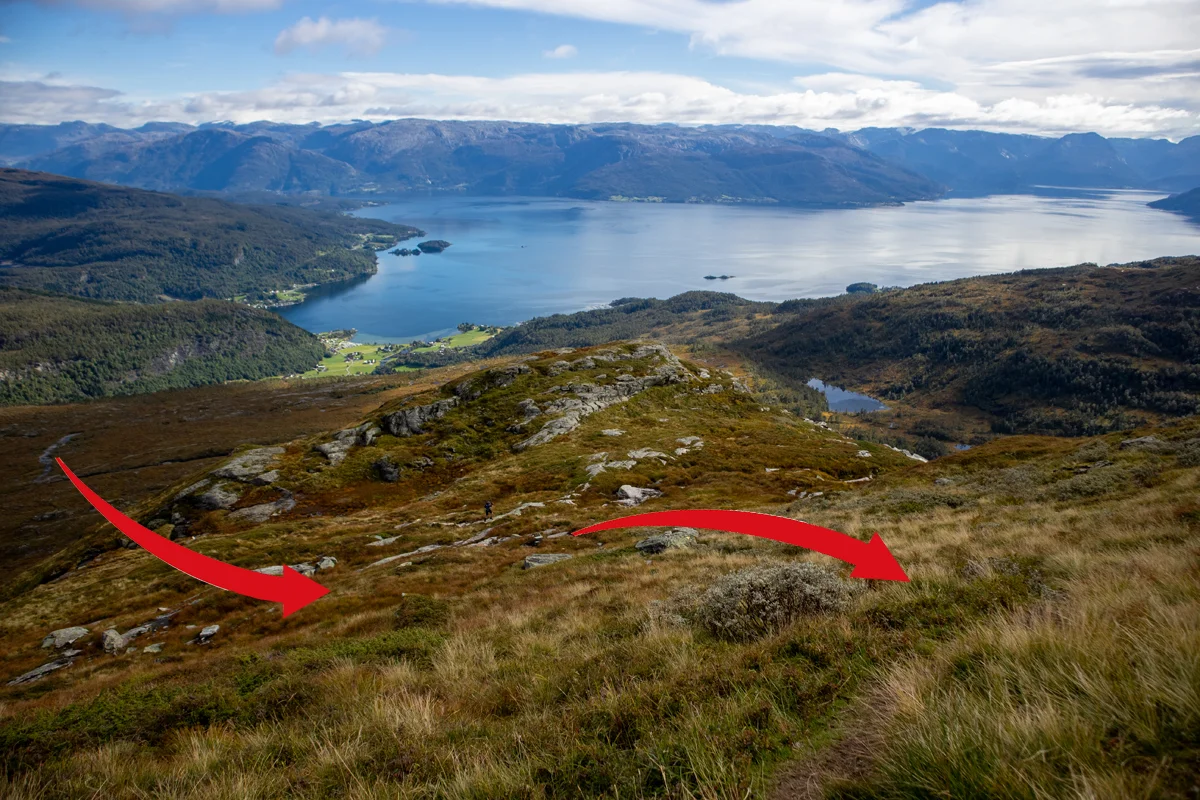
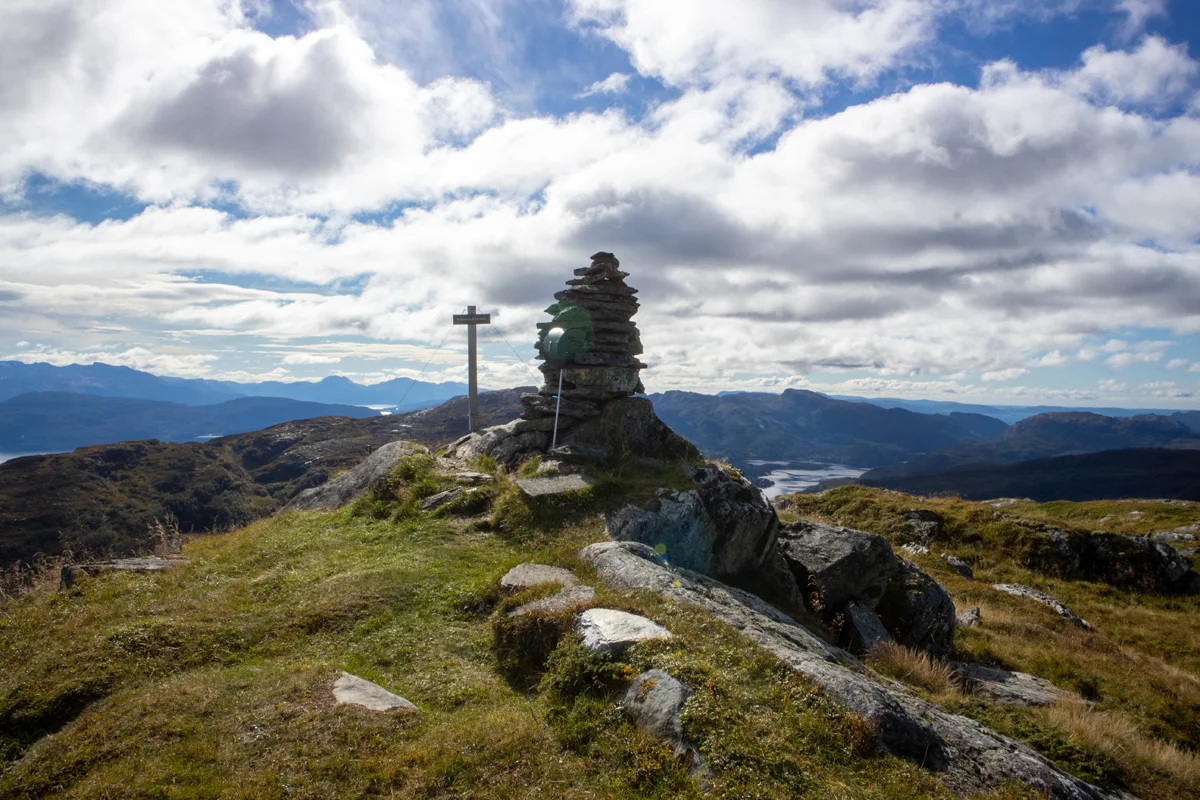
Mountain hike to Kråkenos (814 m) from Øvre Hålandsdalen
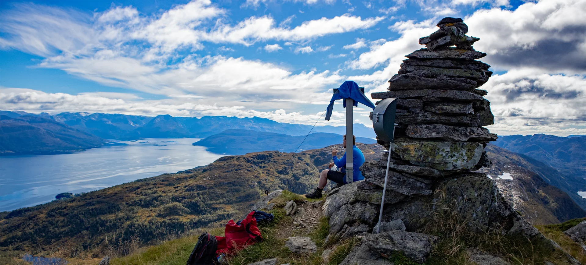
Fjelltur til Kråkenos (814 moh) fra Øvre Hålandsdalen
Photo: Admin

The GPX Track is for guidance only and may contain errors. Use at your own risk.
– always check maps, weather and conditions before your trip.

Access

Approximately 1 hour 26 minutes (88.1 km) drive from Bergen city center.

Parking

Gratis turparkering  ved start. Like til høyre etter broen.

Description

The trip starts in Øvre Hålandsdalen at a small place called Nedre Bolstad.  

From the parking lot, walk along the paved road for about 400 meters and turn right towards the farmyard. Walk all the way to the last house and turn left by the large garage. There are hiking signs indicating that it is OK to walk here.

Walk in the corner of the inland field towards the forest road that starts just up the slope. It first goes to the left and then it turns right and follows the high-voltage pylon. After a while it flattens out and you walk on a nice path inland on the left side of the river. After 1 km. you come to a crossroads where you can choose to go via the ladder or go around. We chose the ladder. This road is steep and suitable for those with a fear of heights. If you go around it is about. 1 km longer.

The path climbs crisscrossing up the mountainside towards the ladders. There are 2 of them. First a short ladder and then a long one. Very special experience.

You will now come up into Røydalen. Follow the path first on the left side of the water and on the right side of Røyndalsvatnet. The path leads you further over some marshes and past Skarsdemma. The terrain is flat and the path is good. Just beyond you will come to a crossroads. Here you meet the path that comes up from the Strandebarm side.

Go left at the intersection and you will get a nice view of Kråkenos. Just above the tree line is a bench where you can take a break. Then follow the T-marked path up towards the mountain. In the back you have a nice view of the fjord. At the second intersection sign 'Kråkenos 1.8 km' you should go left.

Now begins the toughest part of the hike, because here it is steep. You really just have to follow the path that winds up the mountainside to the top. When you are up on the ridge, go left towards the cairn.

Kråkenos has a panoramic view that can take the breath away from most people. The view over the Hardangerfjord / Hisfjord towards Kvinnherad is impressive. You can see Folgefonna. To the west you can see Gjønakvitingen and other nearby mountains.

Recommend taking the return route the same way!

Information

Length: Approximately 15 km round trip.
Time: Approximately 5 hours round trip.
Elevation gain: Approximately 1200 meters
Season: Apr - Nov
Grading: Demanding

Processing elevation data.. .

You use GPX files that you download from our server 100% at your own risk.

Accommodation nearby

Hiking nearby