The GPX Track is for guidance only and may contain errors. Use at your own risk.
– always check maps, weather and conditions before your trip.
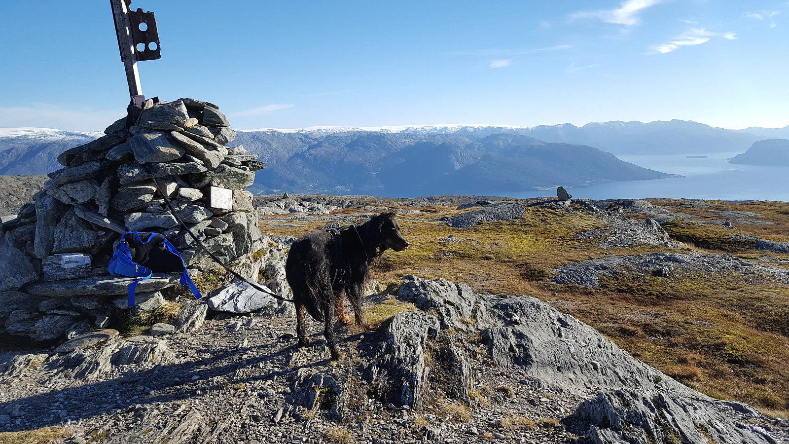
Utsikten fra Vesoldo er fantastisk. Fra toppen kan du omfavne det majestetiske synet av Hardangerfjorden, samt Fusa, Kvamskogen og Øystese fjellområdene. Du kan også se Jondal, Folgefonna og Rosendalsalpene. Den enestående utsikten alene er nok til å overbevise enhver om å ta turen til dette fjellet.
Not far from Vesoldo lies Tørviknuten, Vesoldo's magnificent neighbor. The top of Tørviknuten is adorned with an impressive cairn, and from here you can enjoy views as fantastic as from Vesoldo itself. An extra reward for those who choose to explore both peaks on the same trip.
For those who want to climb Vesoldo, the route starts from Byrkjenesvatnet, just north of Strandebarm. The 4.5 kilometer long path from the parking lot in Byrkjenes leads you through a beautiful forested slope. The red markings guide you faithfully upwards, and the path is well maintained until you reach the top of Vesoldo. As you cross 500 meters in altitude, the tree line reveals itself, and the landscape gradually transforms into a mountainous terrain.