
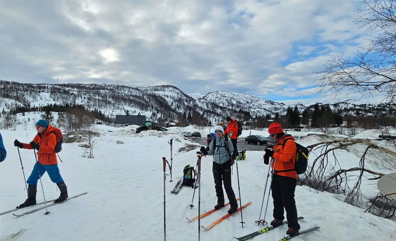
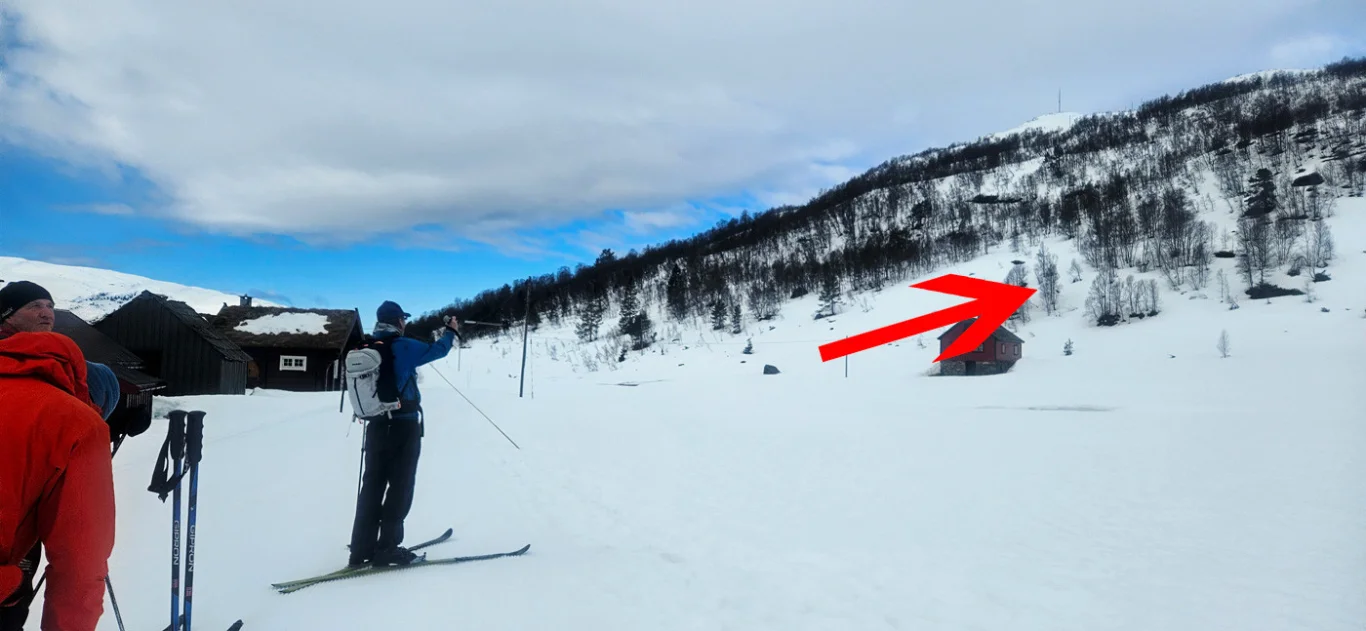
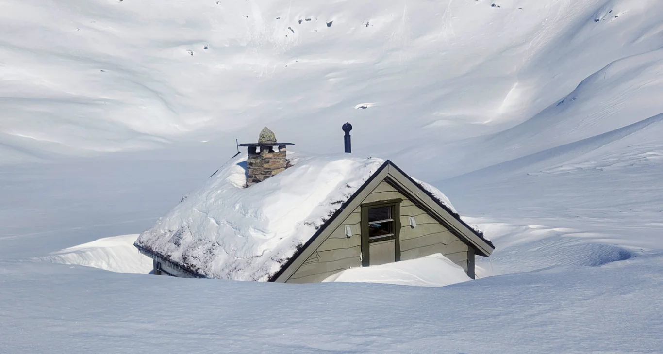
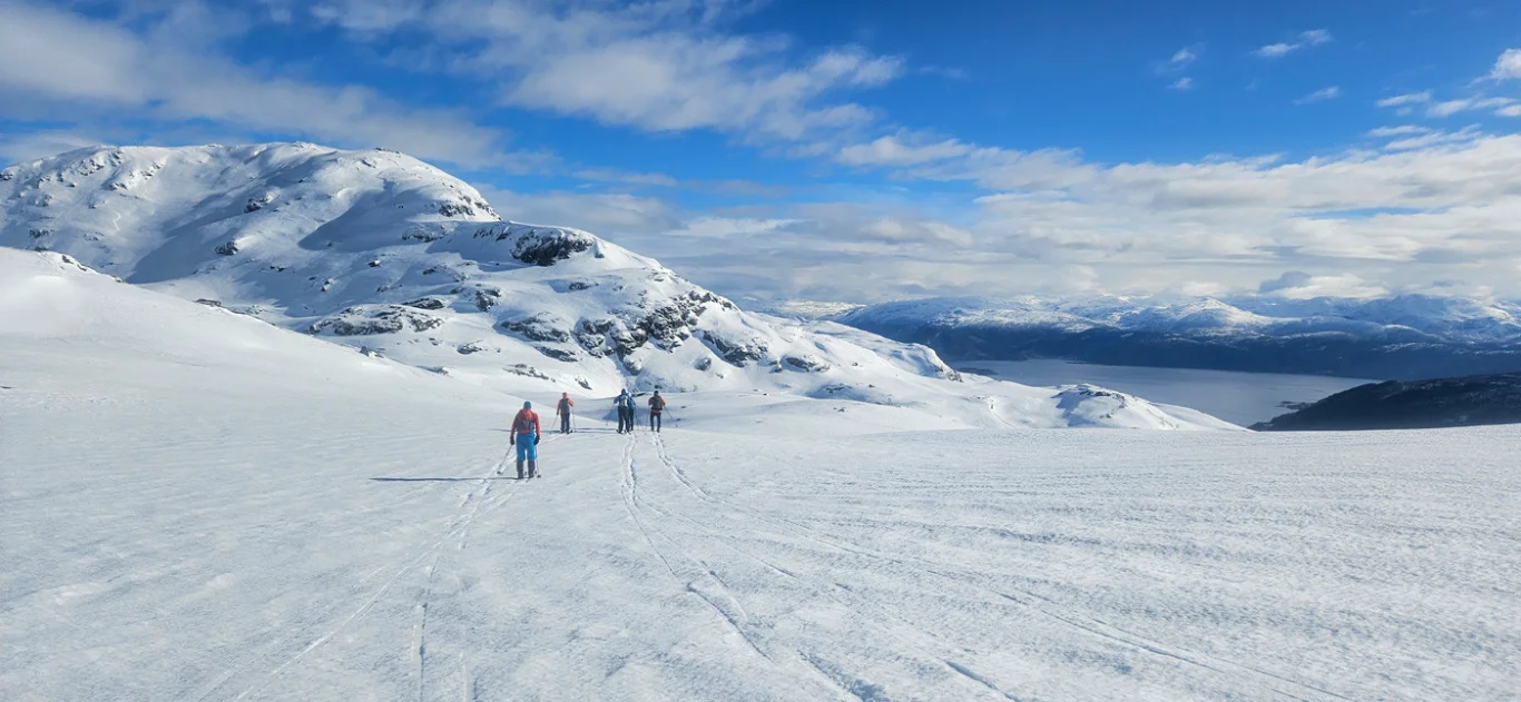
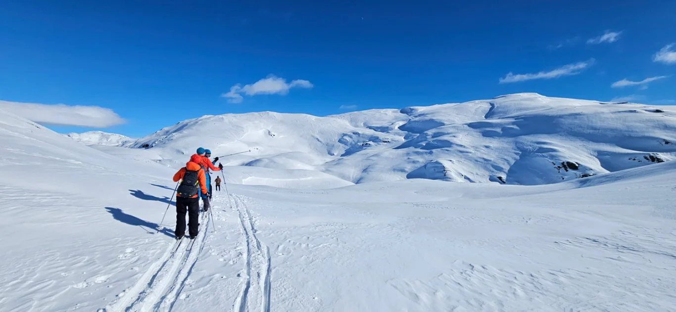
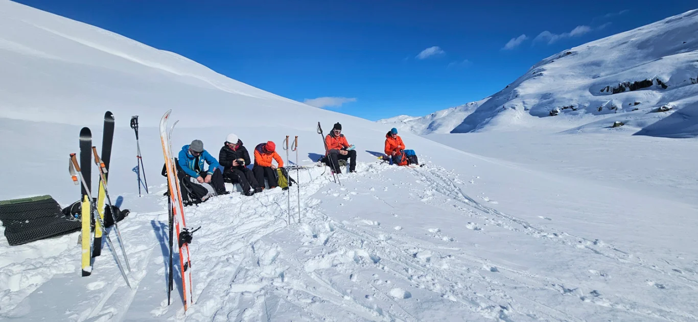
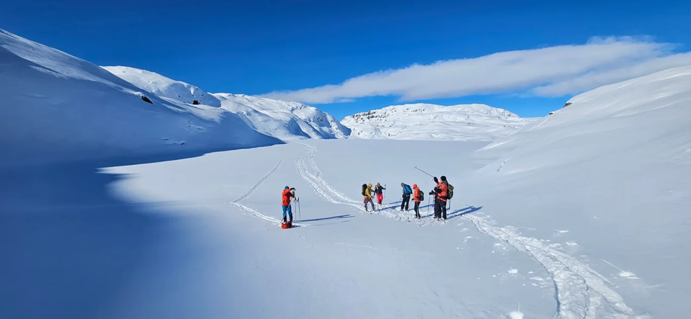
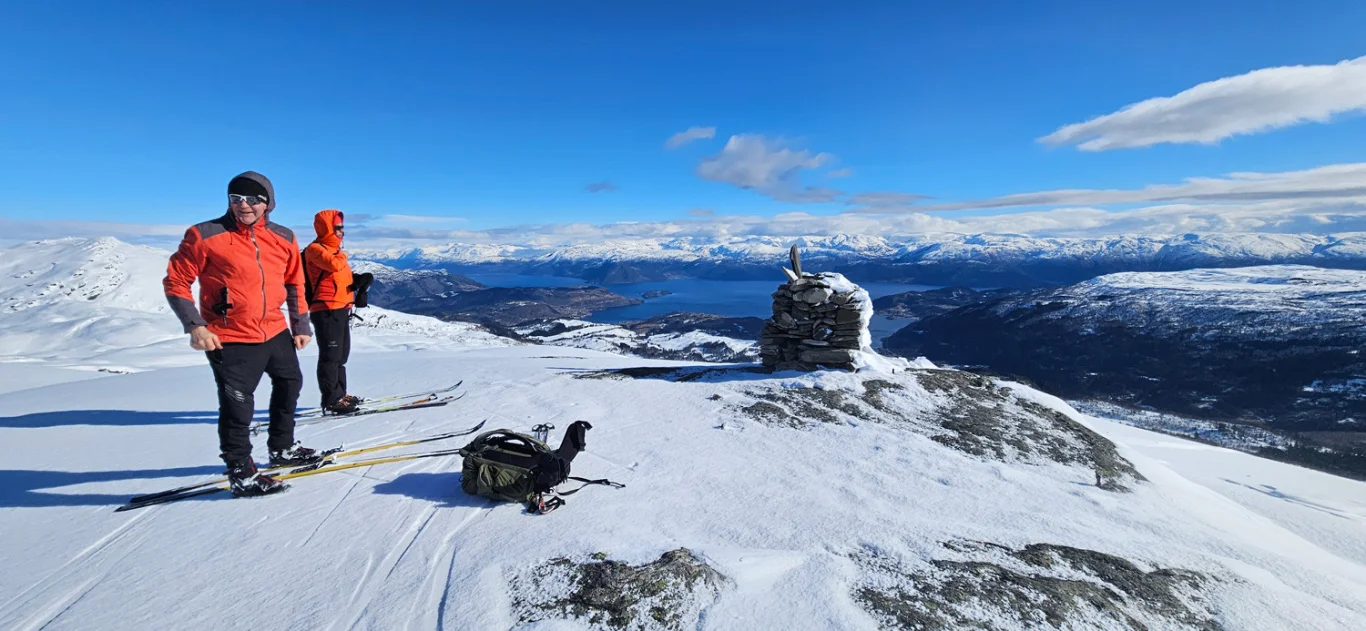
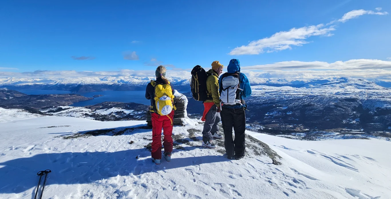
Ski trip to Geitafjellet (970 m) from Kvamskogen
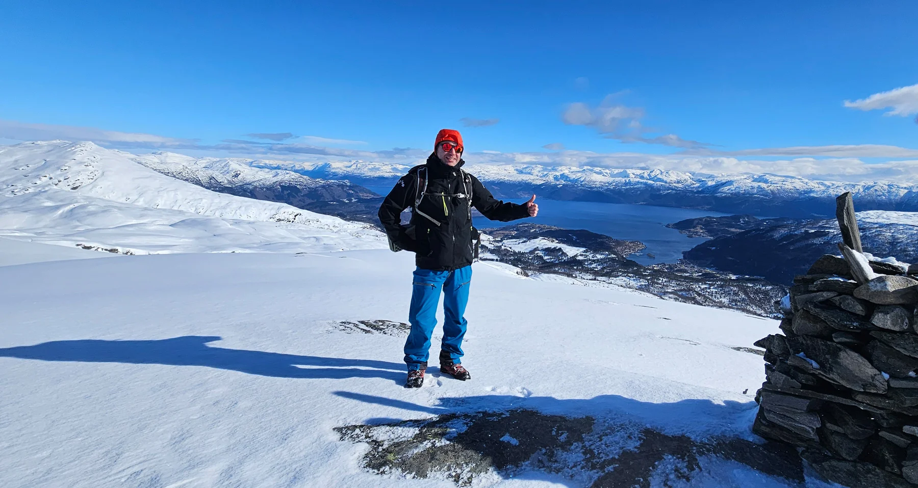
Skitur til Geitafjellet (970 moh) fra Kvamskogen
Photo: Admin

The GPX Track is for guidance only and may contain errors. Use at your own risk.
– always check maps, weather and conditions before your trip.

Access

Approximately 1 hour 6 minutes (69.0 km) drive from Bergen.

Parking

Parking at Tokagjelet (paid parking on the south side of the road - NOK 100,- payment with Vipps). Alternatively, you can take a bus to Tokagjelet.

Description

The start is easy, along the well-trodden trail to Byrkjesete, before you embark on a hill up towards Bårfjell to Storebotn.

After this, the terrain gently descends before ascending again towards Sundvoredalen and on to Sundvoredalsvika. From here, you follow a route along Myklavatnet and up the north side of Vallandsgjelet between Geitafjell and Tjørnafjell, before breaking off and climbing Geitafjell itself. The hike up is approximately seven and a half kilometers long.

The return
As for the return, for those going randonee, the descent will often be on the south side of the mountain. For those going cross-country skiing, it may be a good idea to take the return the same way as up. If you choose to take the descent on the south side (as shown on the GPS tracks), be aware of a short but steep and exposed descent just south of Dusgjet skaret.

Besides this, the descent on mountain skis is very curvy.

Have a good trip!

Information

Length: Approximately 16 km round trip
Time: Approximately 4-5 hours round trip
Elevation gain: Approximately 732 meters
Season: Winter
Grading: Demanding

Processing elevation data.. .

You use GPX files that you download from our server 100% at your own risk.

Accommodation nearby

Hiking nearby