
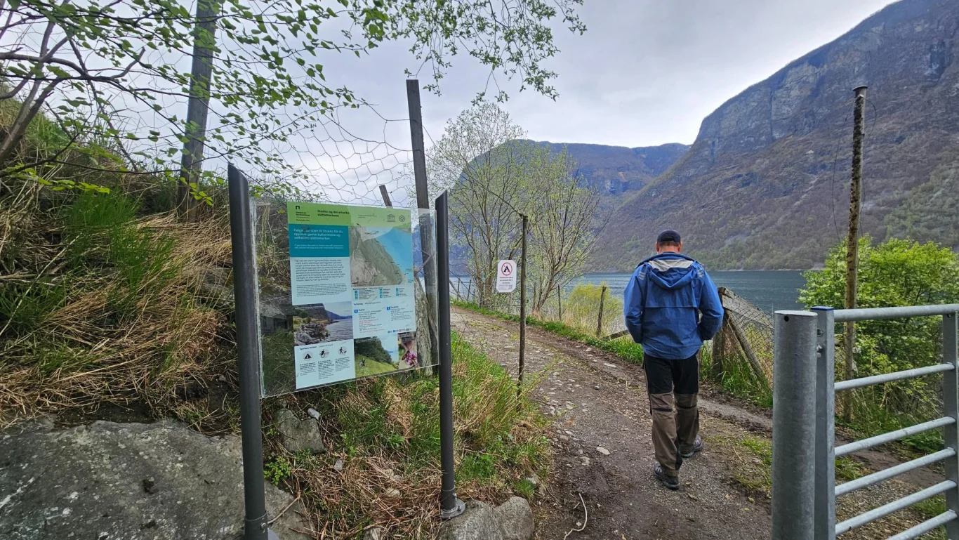
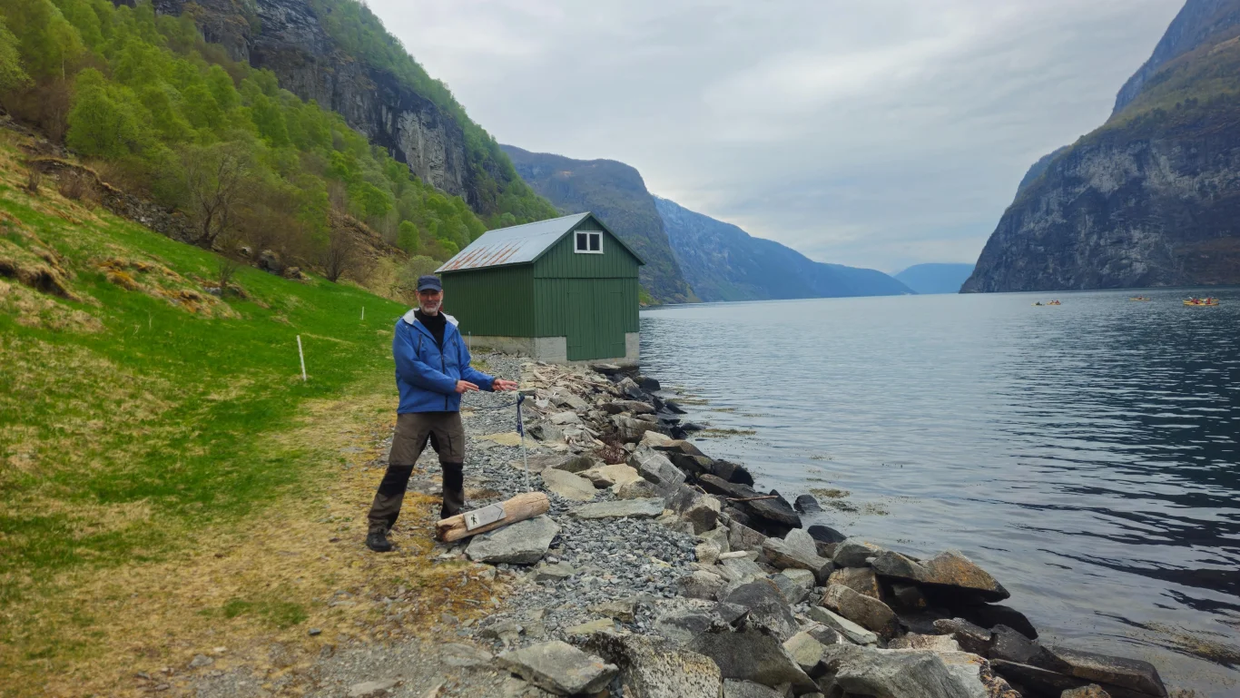
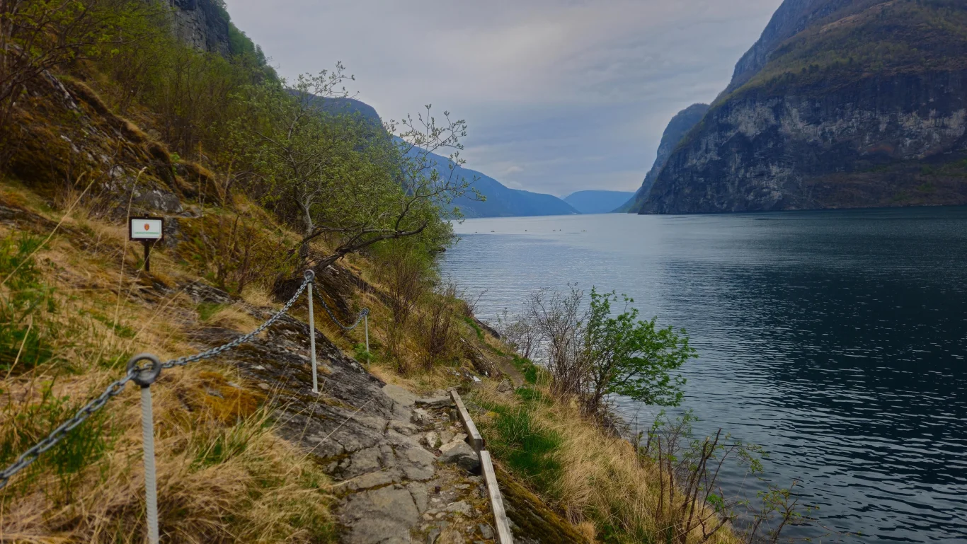
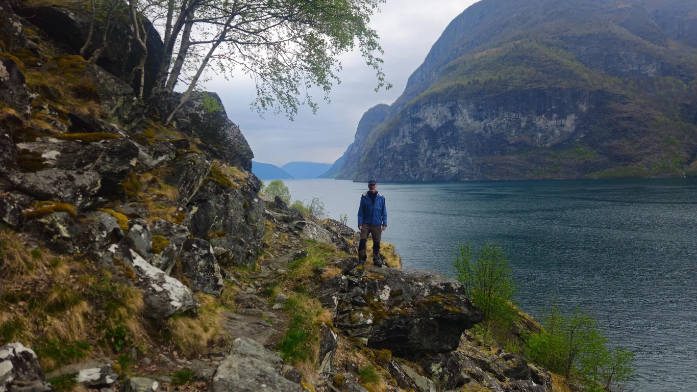
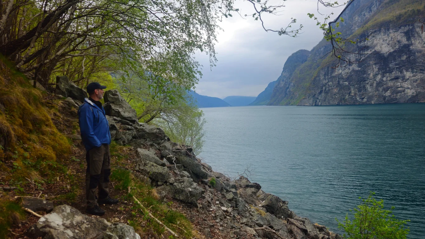
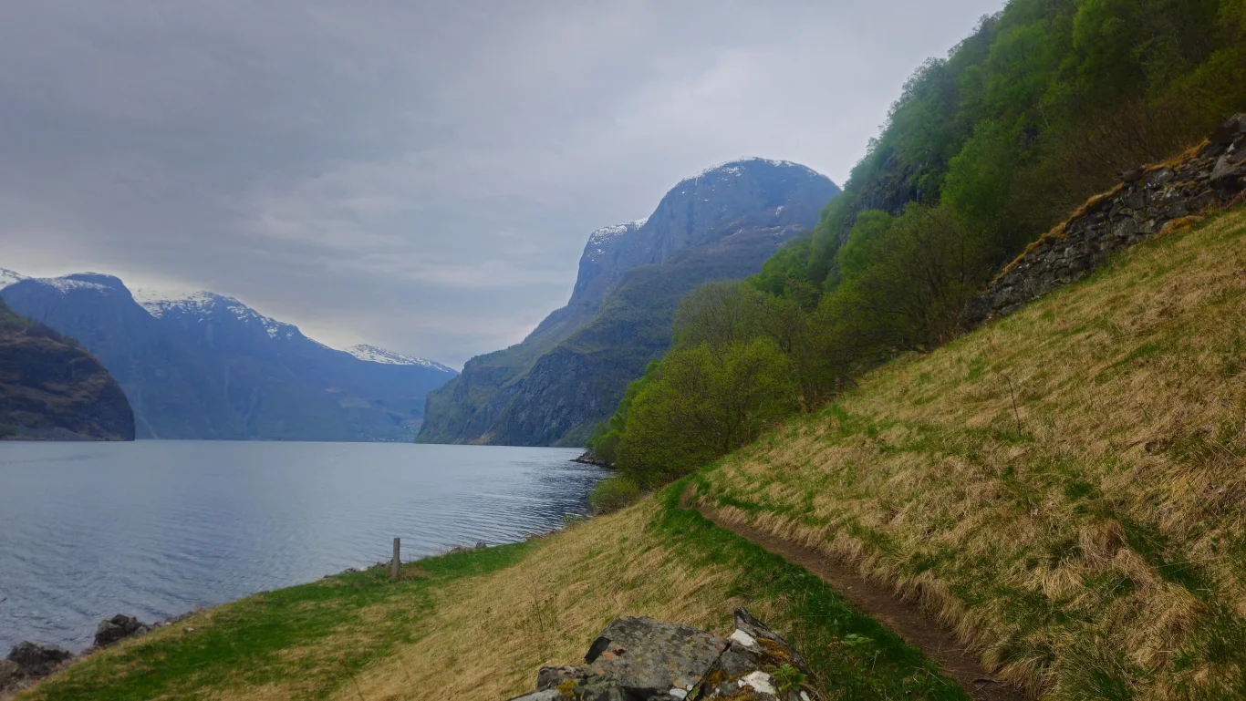
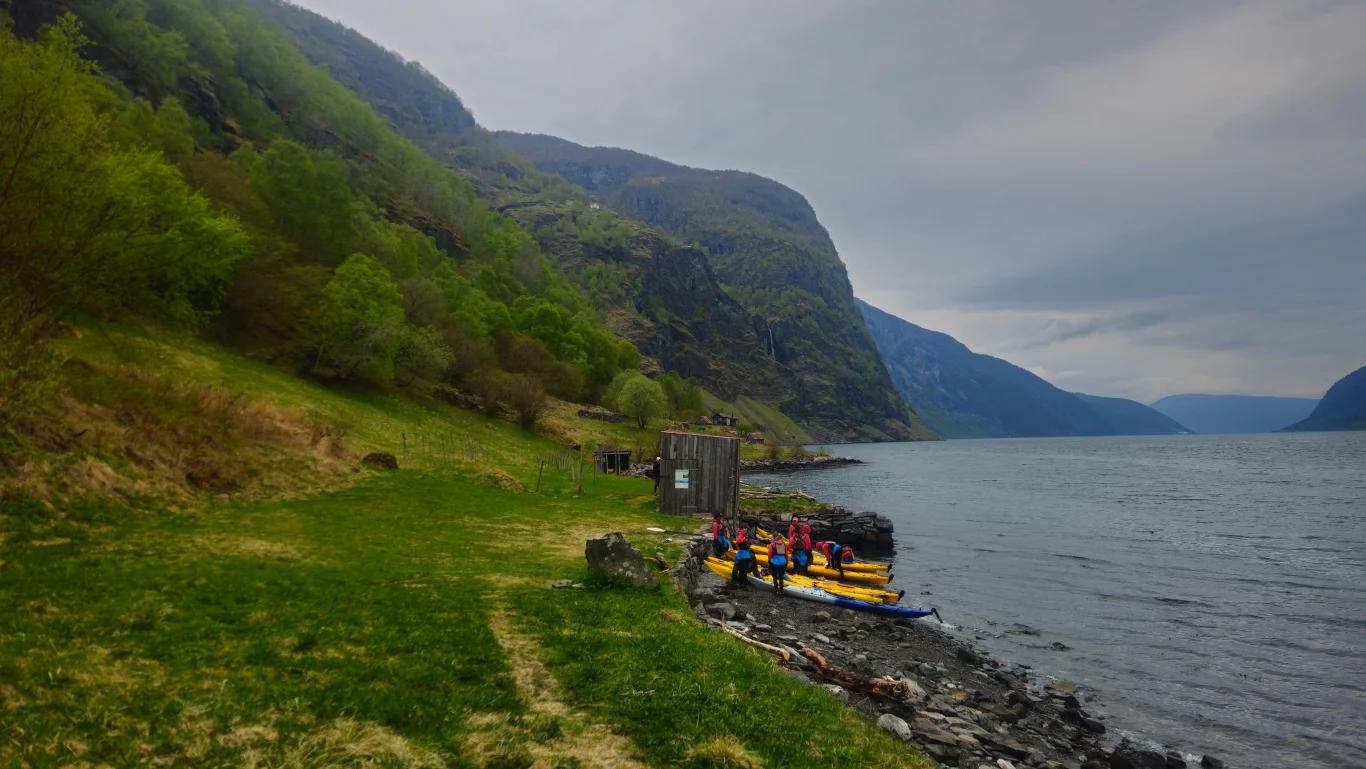
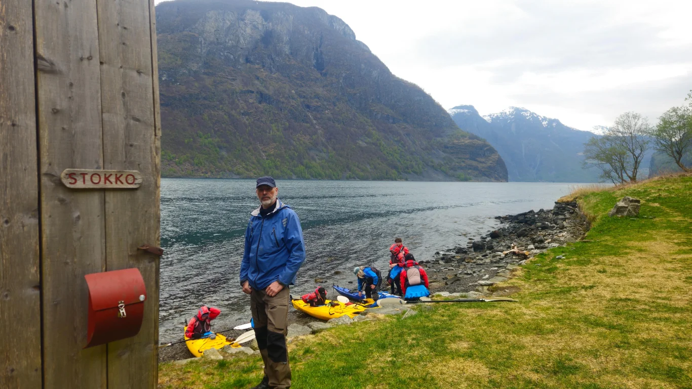
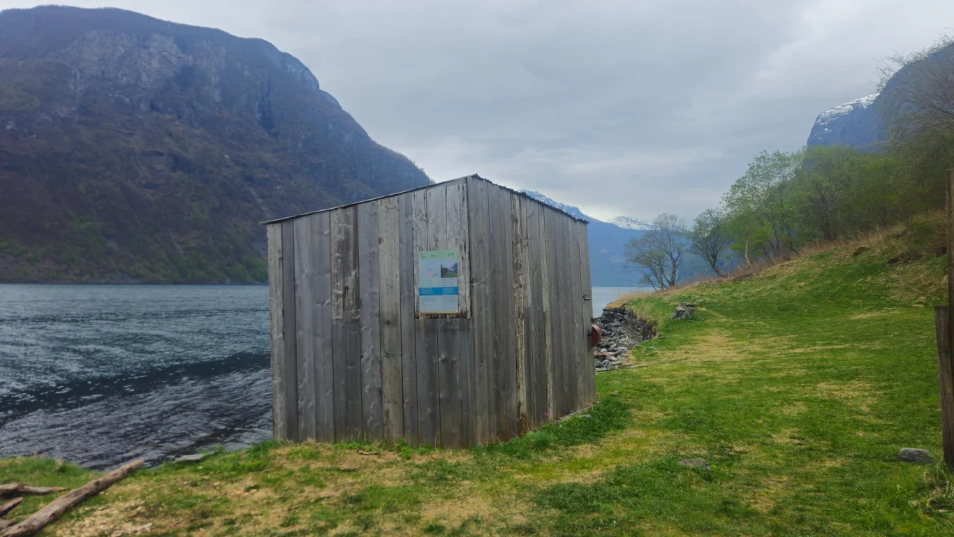
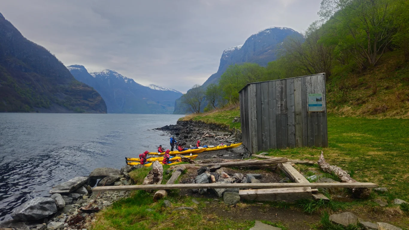
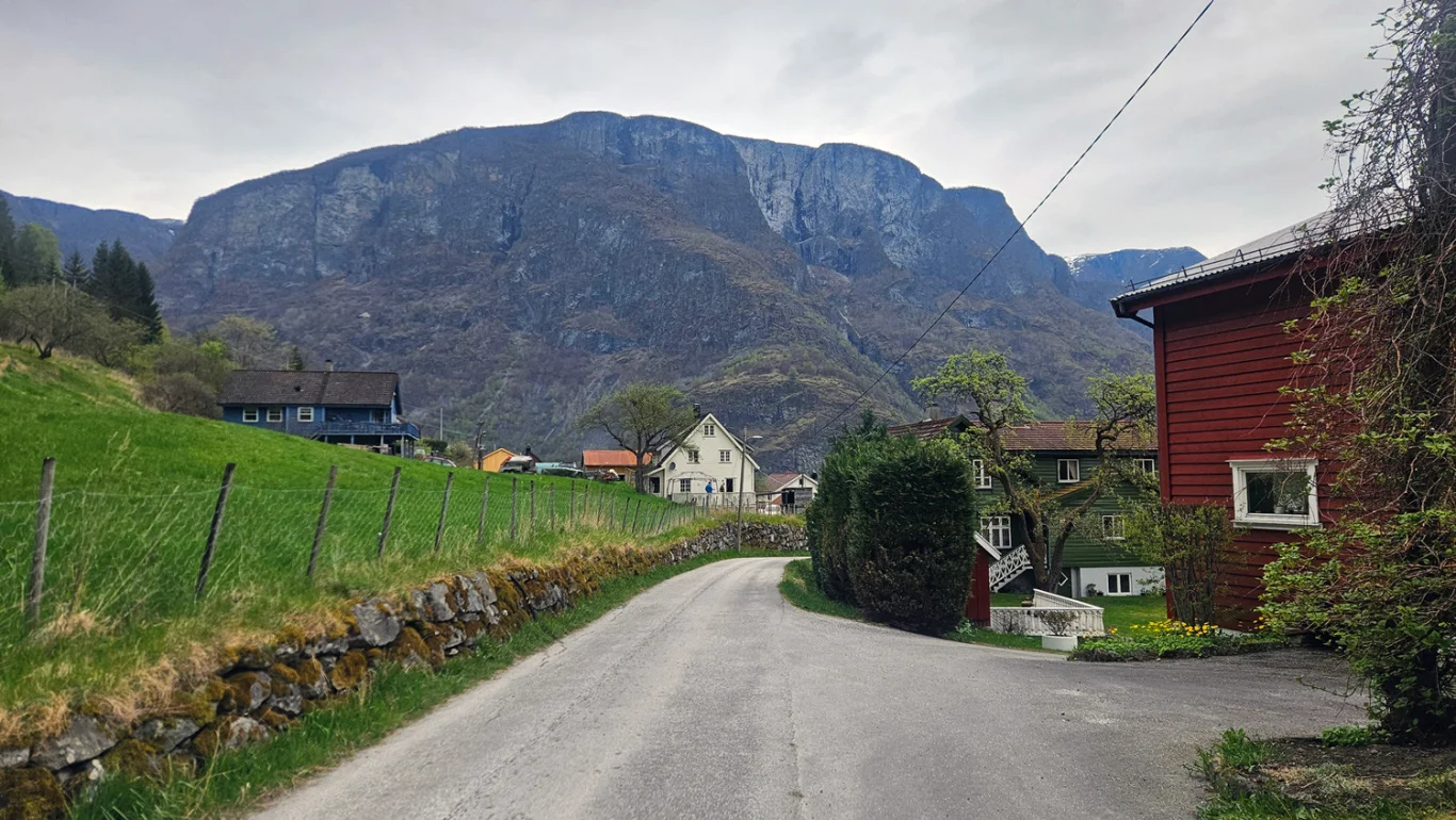
Hiking along the fjord to Stokko from Undredal
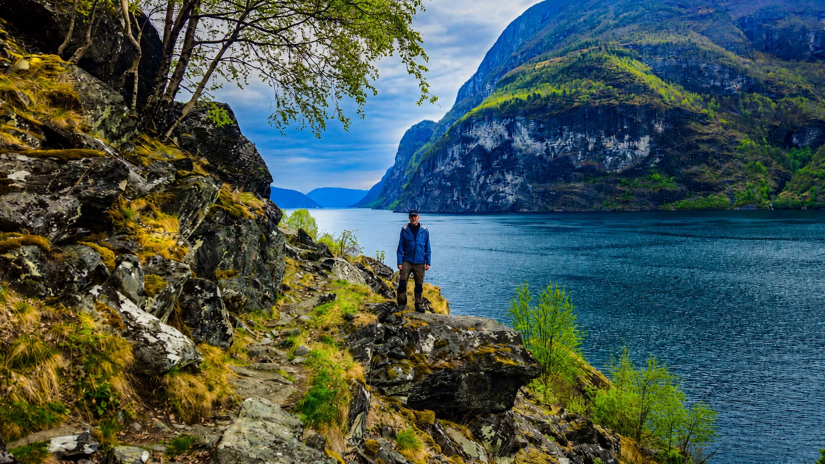
Vandretur langs fjorden til Stokko fra Undredal
Photo: Chris Toft

The GPX Track is for guidance only and may contain errors. Use at your own risk.
– always check maps, weather and conditions before your trip.

Access

Approximately 2 hours 40 minutes (167 km) drive from Bergen.

Parking

Parking lot just after the bus stop before you come down to the center of Undredal.

Description

This is a nice local hike along the Aurlandsfjord, starting in the small village of Undredal in Aurland.

The walk starts at the visitor parking lot (Pottefot) on the right side of the main road, just after the bus stop and just before you get down to the village center. Follow Undredalsvegen down towards the center. At the main intersection, turn left towards the church. Continue on the paved road past the church and through several farmyards in a northerly direction. The road goes up the slope along the fjord for a while.

When you reach the end of the road, you will see a sign. Go through the gate, and from here the walk continues on the path along the fjord. In practice, you just follow the path all the way to Stokko.

The path runs for about 2 kilometers along the fjord. First you pass old hay meadows, before the path climbs steeply up over rocky terrain and through an area of ​​exposed rock. Then you enter new open cultural landscapes. In some places, railings have been set up, but it is a good idea to watch where you put your feet, since the terrain in several places drops steeply down towards the fjord.

This is an exciting trail through beautiful scenery, with panoramic views of the Aurlandsfjord and the surrounding mountains. When you reach Stokko, the trail ends. Here there is a small building with an outdoor toilet and a mailbox where you can sign in. There is also a cabin at the end of the trail, but this is private.

Up on the mountainside, on the same side as the trail, you can see the mountain farm Stigen. To get there you need a boat.

The return trip goes the same way back.

Information

Length: 5.7 km round trip
Time: Approximately 1-2 hours round trip
Elevation gain: 80 meters
Season: Season: All year round

Processing elevation data.. .

You use GPX files that you download from our server 100% at your own risk.

Accommodation nearby

Hiking nearby