
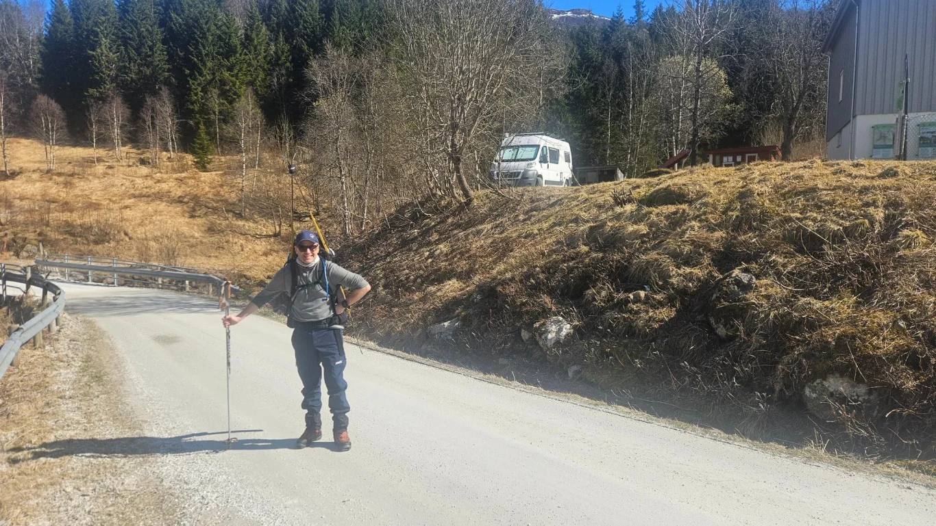
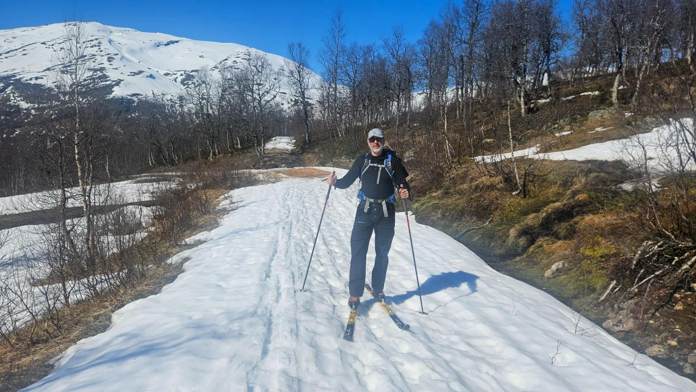
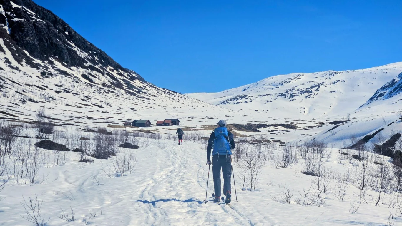
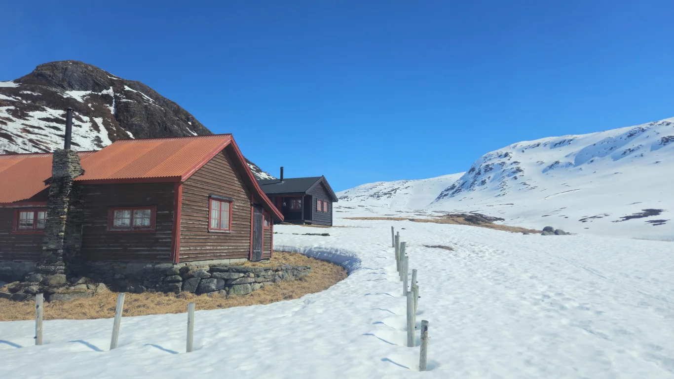
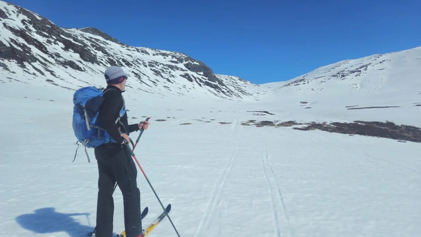
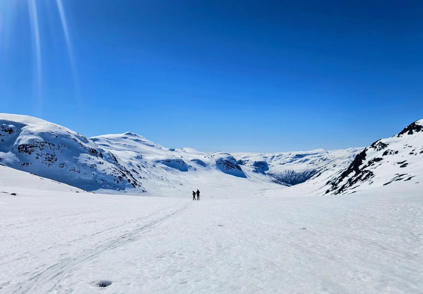
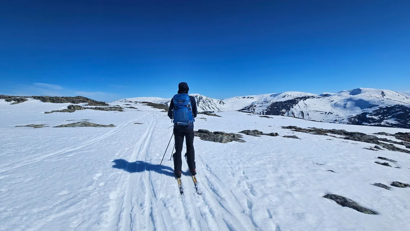
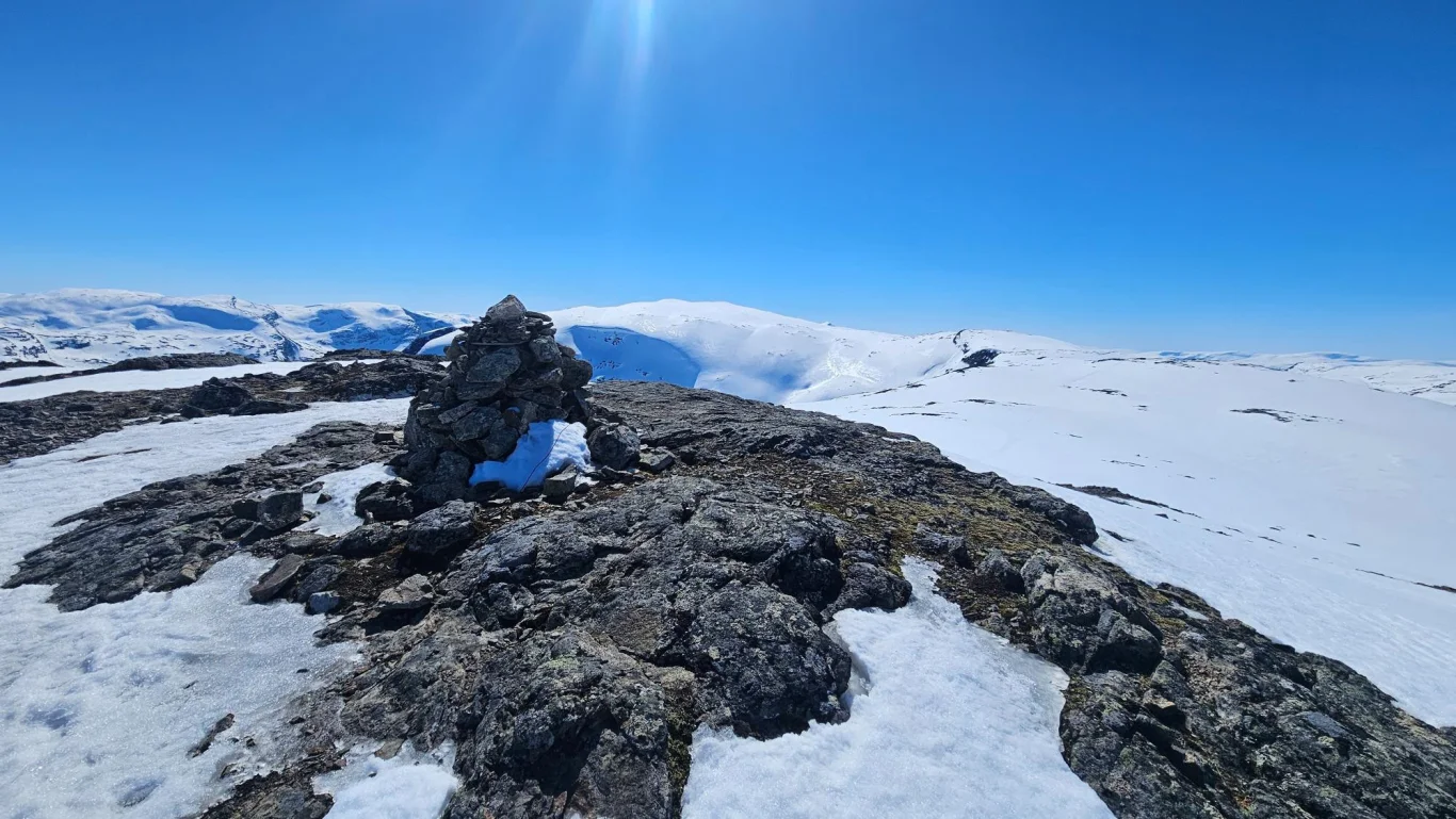
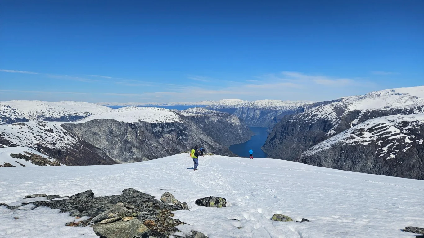
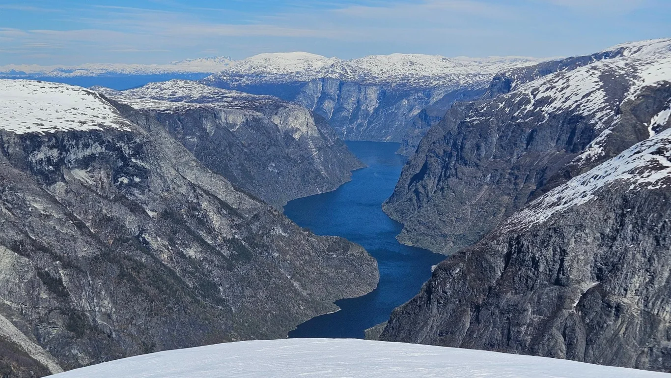
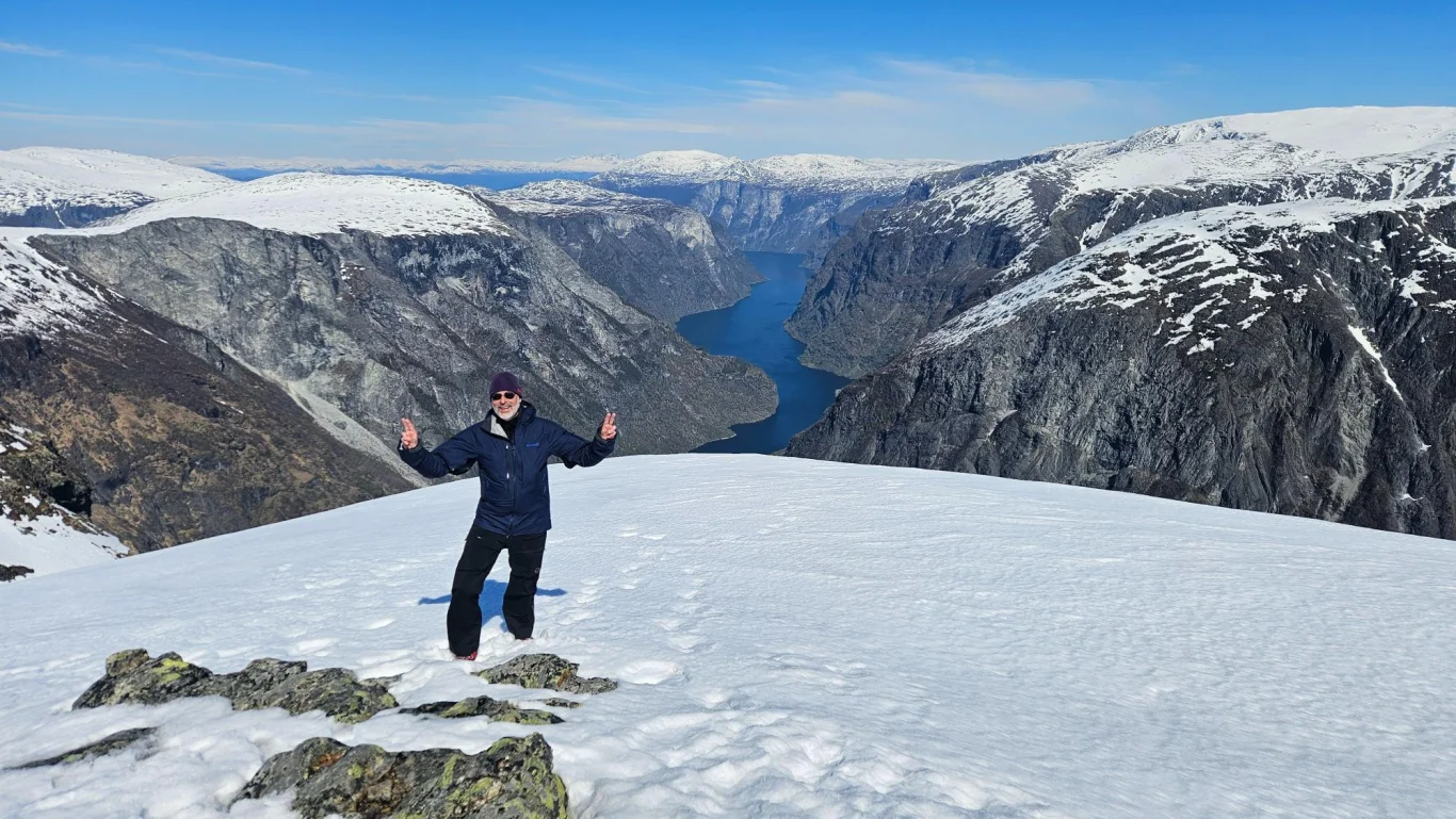
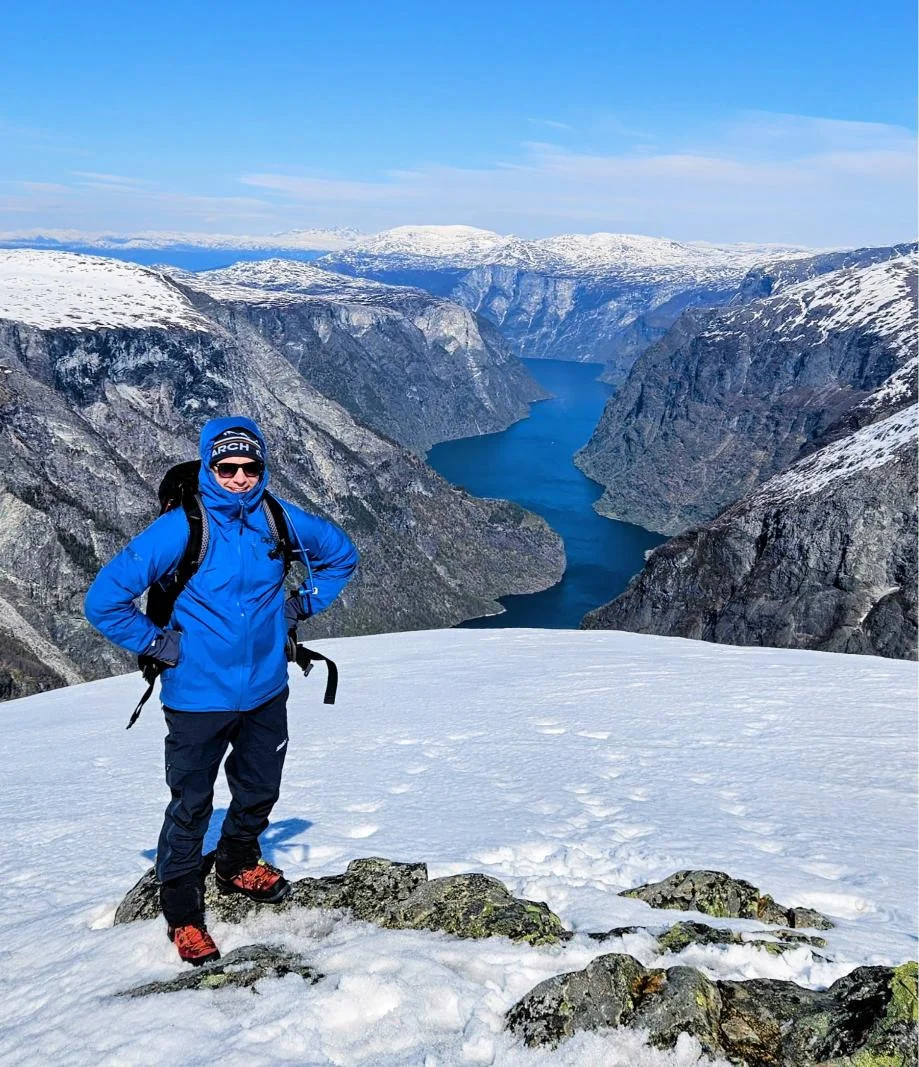
Ski trip to Bakkanosi (1398 m)

Skitur til Bakkanosi (1398 moh)
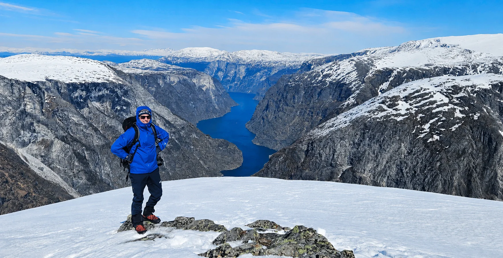
Photo: Chris Almeland

The GPX Track is for guidance only and may contain errors. Use at your own risk.
– always check maps, weather and conditions before your trip.

Access

Approximately 2 hours 20 minutes (145 km) drive from Bergen.

Parking

Parking for a fee. NOK 100 (2026), payment with vipps.

Description

The view from Bakkanosi towards the mountains and the fjord from here is a great experience!

From the parking lot at Jordalen, the mountain ski tour starts up a winding forest road in an easterly direction. If you are late in the season, like we were in May, you will probably have to carry your skis a short Distance up the road. Earlier in the winter, you can usually strap on your skis right from the start.

The forest road winds steeply up the left side of the river and leads you into Slettedalen. As you reach the valley, the landscape gradually opens up with less forest and more high mountain terrain. Follow the ski Track further into the valley until you reach the stables. Here the forest road ends.

From the stables, continue further into the valley on the left side of the Slettedalselvi. At the end of the valley, a steep climb awaits you up towards Slettedalstjørni. Keep to the left, northern side of the water, before the hike continues with another steady and steep climb.

From Slettedalstjørni the route continues in an easterly direction towards a larger lake. From here you continue northeast and round the lake on the north side. You can see that the terrain drops steeply towards Rimstigbotnen, but the route continues in a southeasterly direction around the lake before another steep climb towards the ridge of Bakkanosi.

When you reach the ridge, follow it in a slight northeasterly direction towards the summit. The actual summit of Bakkanosi is marked by a small rock pile, while the most spectacular view down towards Nærøyfjorden is a little further up on the plateau.

Be very careful not to go too far forward on the edge. There can be large snowdrifts here, and it can be difficult to see where the solid rock actually begins. The view of the mountains and the fjord from here is a great experience.

The return journey is the same way back. Have a nice trip!

Information

Length: Approximately 18 km round trip
Time: Approximately 6 hours round trip
Elevation gain: 950 meters
Season: Jan - May (snow often stays for a long time in these areas)

  I recommend the trip on mountain skis, but randonee can also be used.  
Grading: Demanding

Processing elevation data.. .

You use GPX files that you download from our server 100% at your own risk.

Accommodation nearby

Hiking nearby