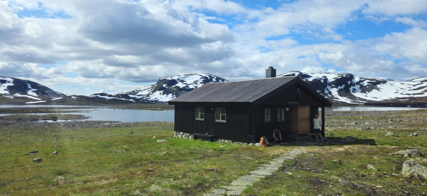
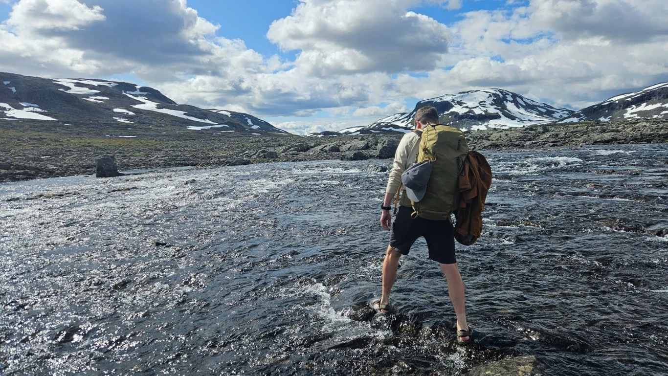
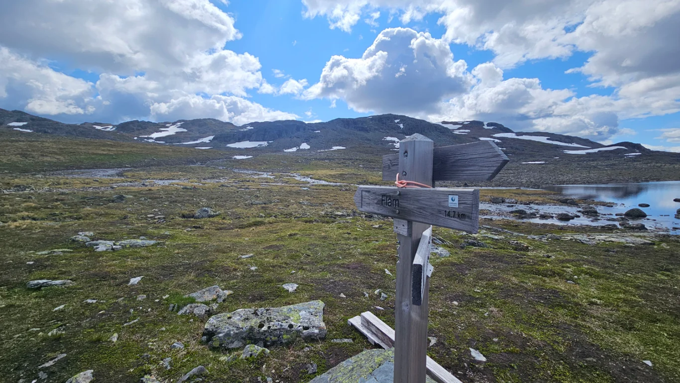
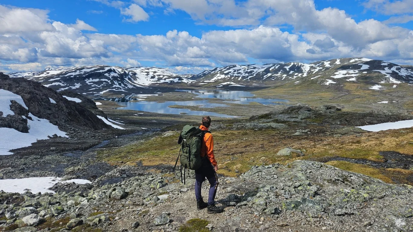
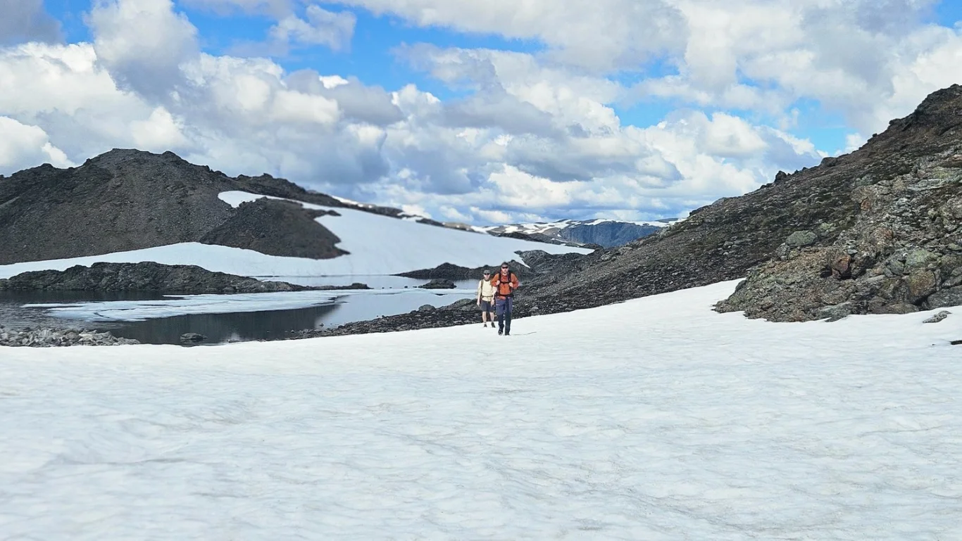
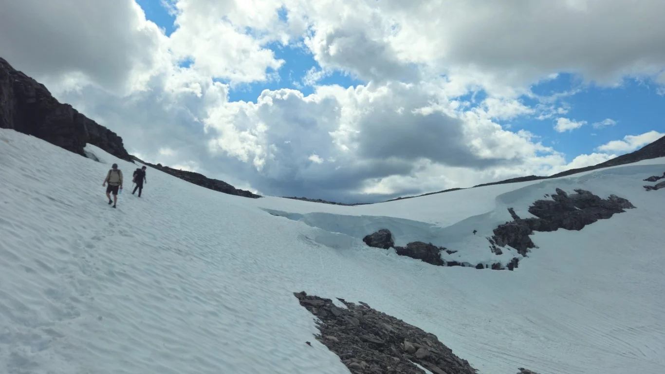
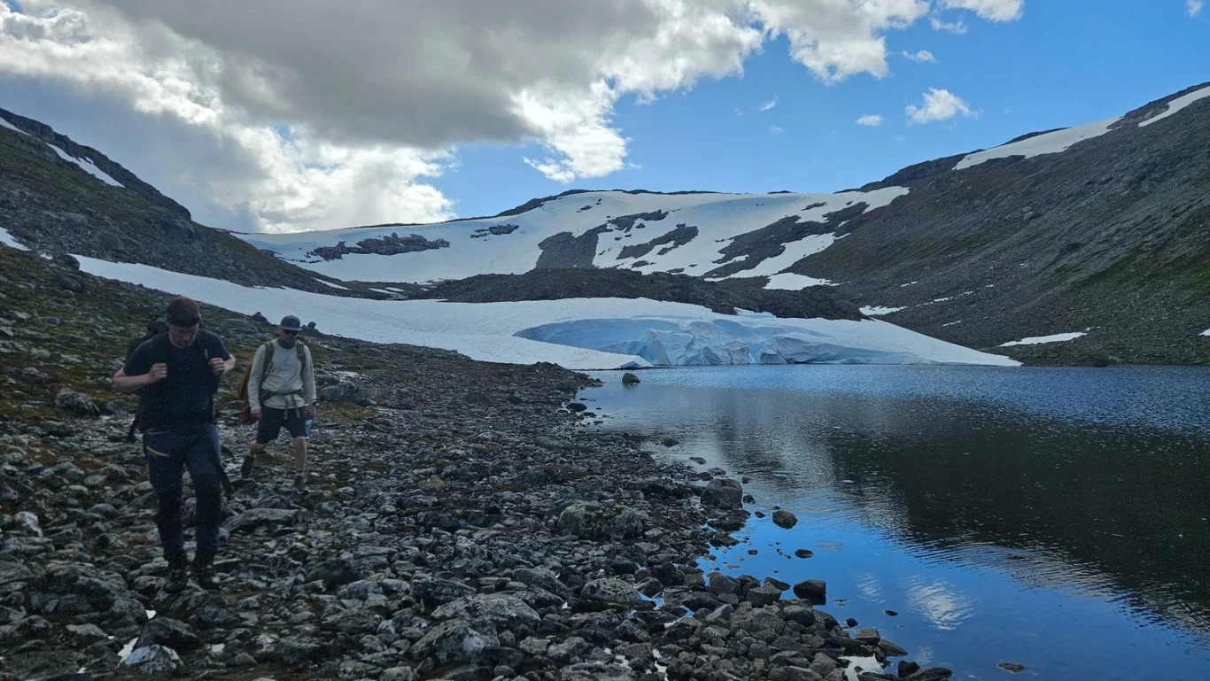
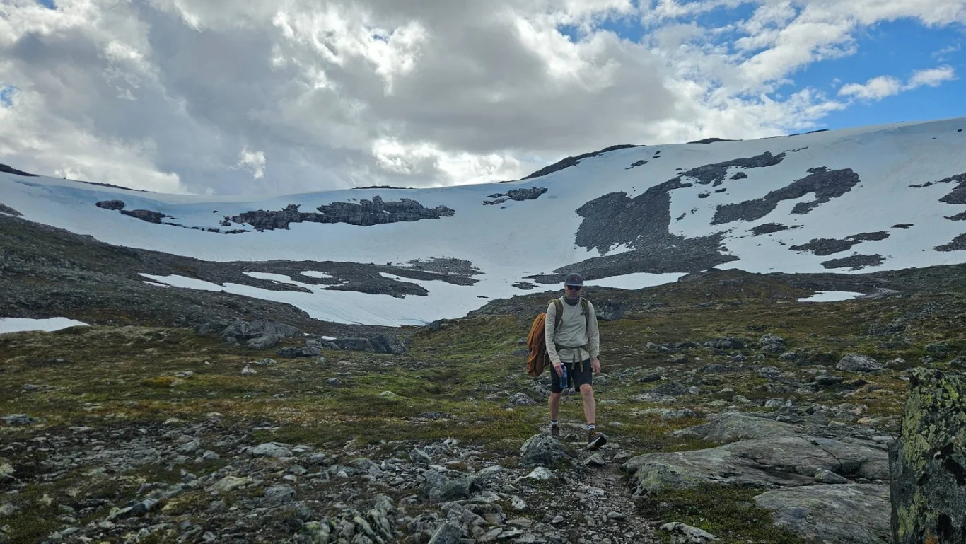
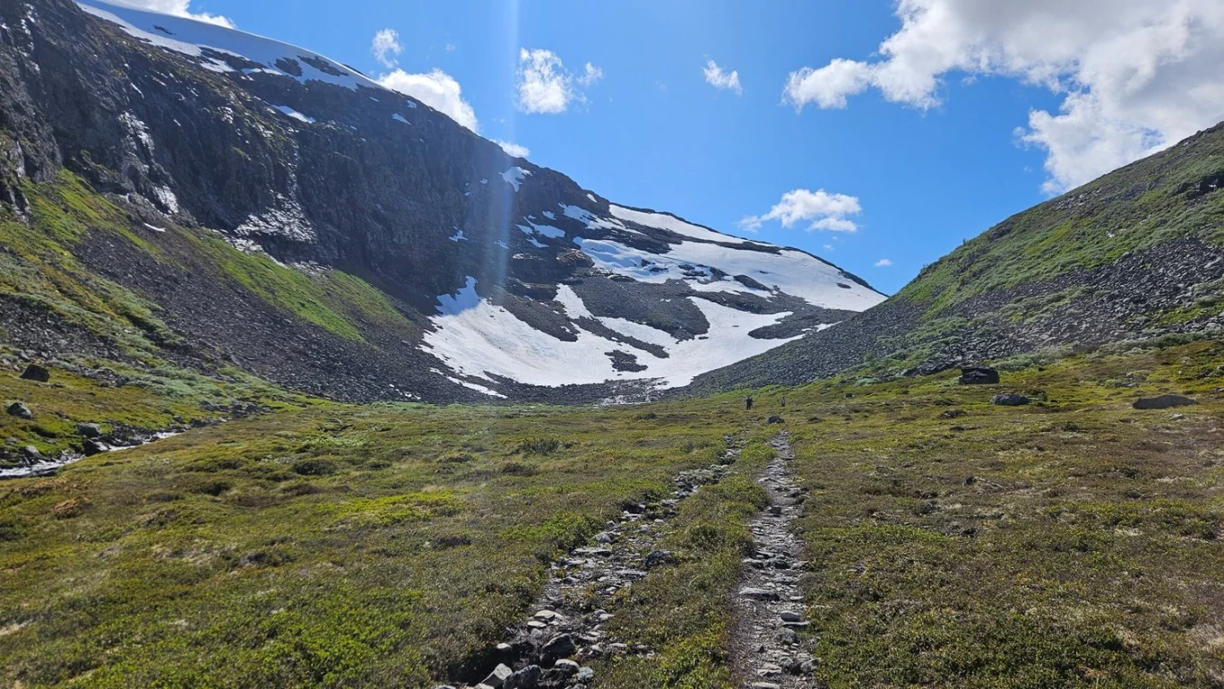
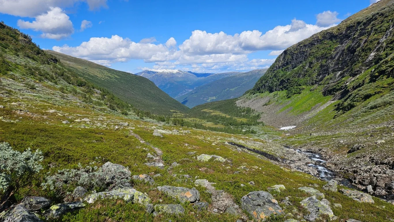
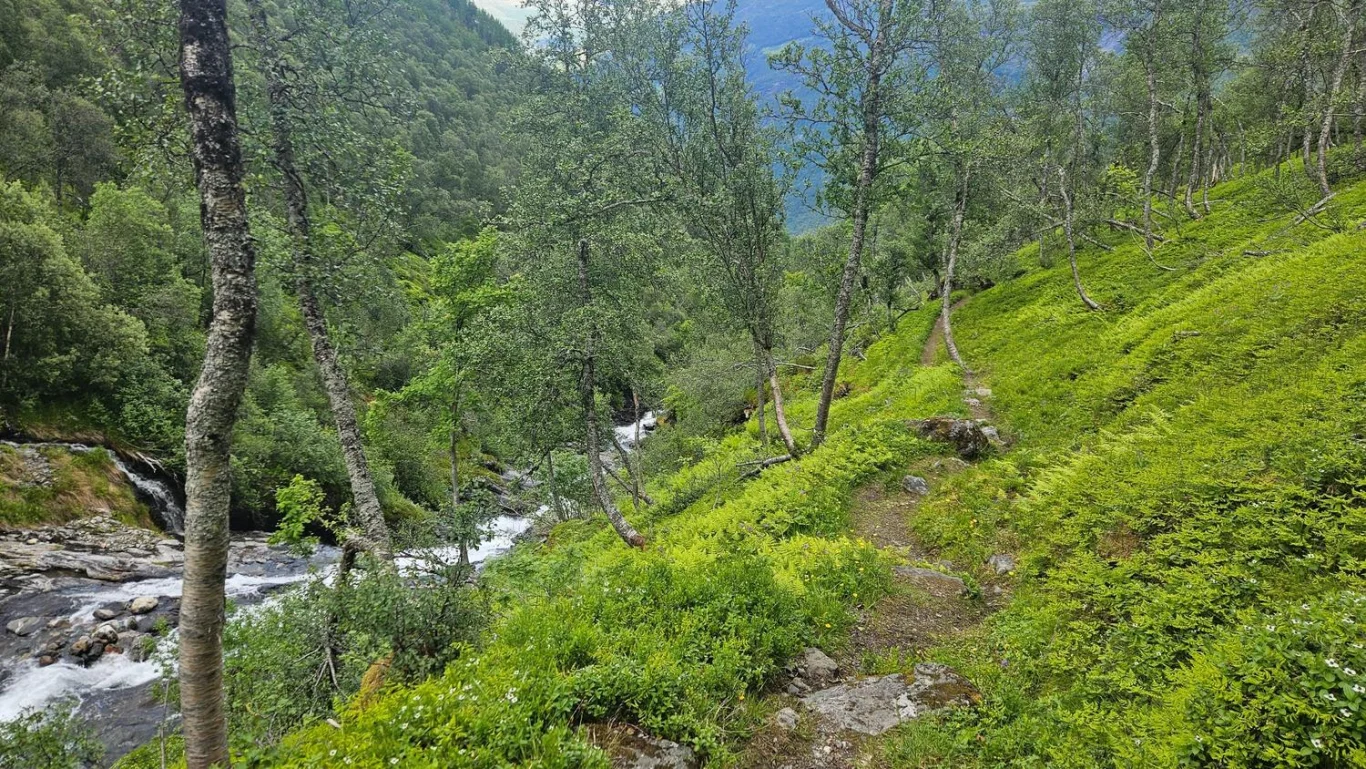
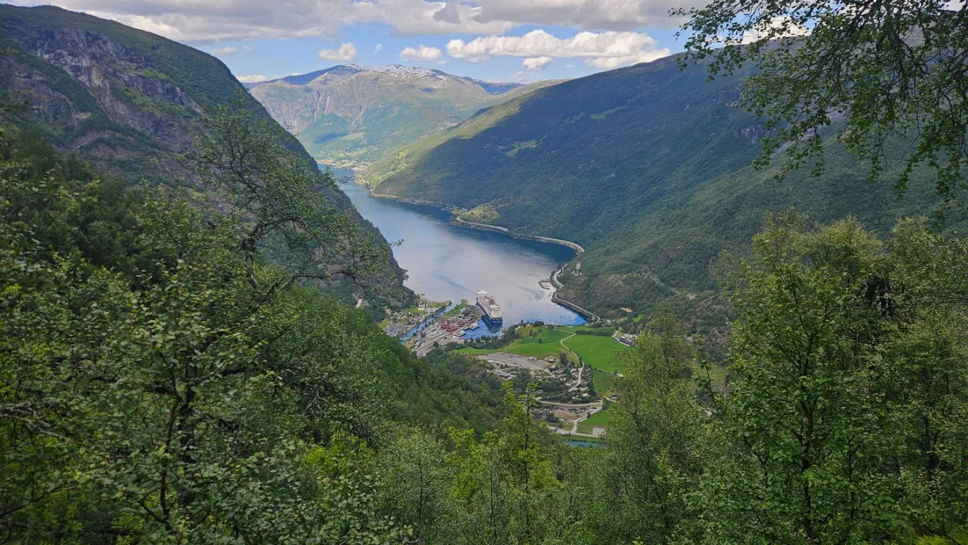
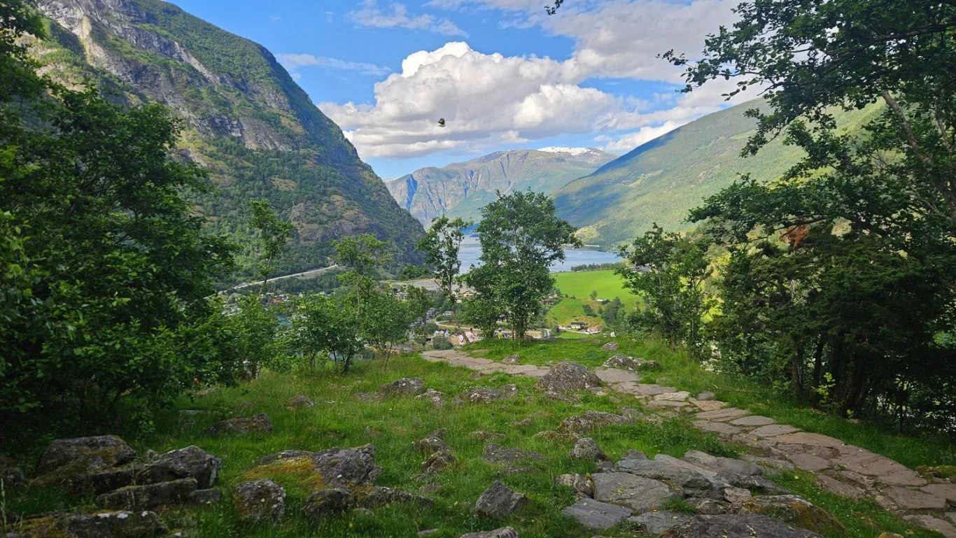
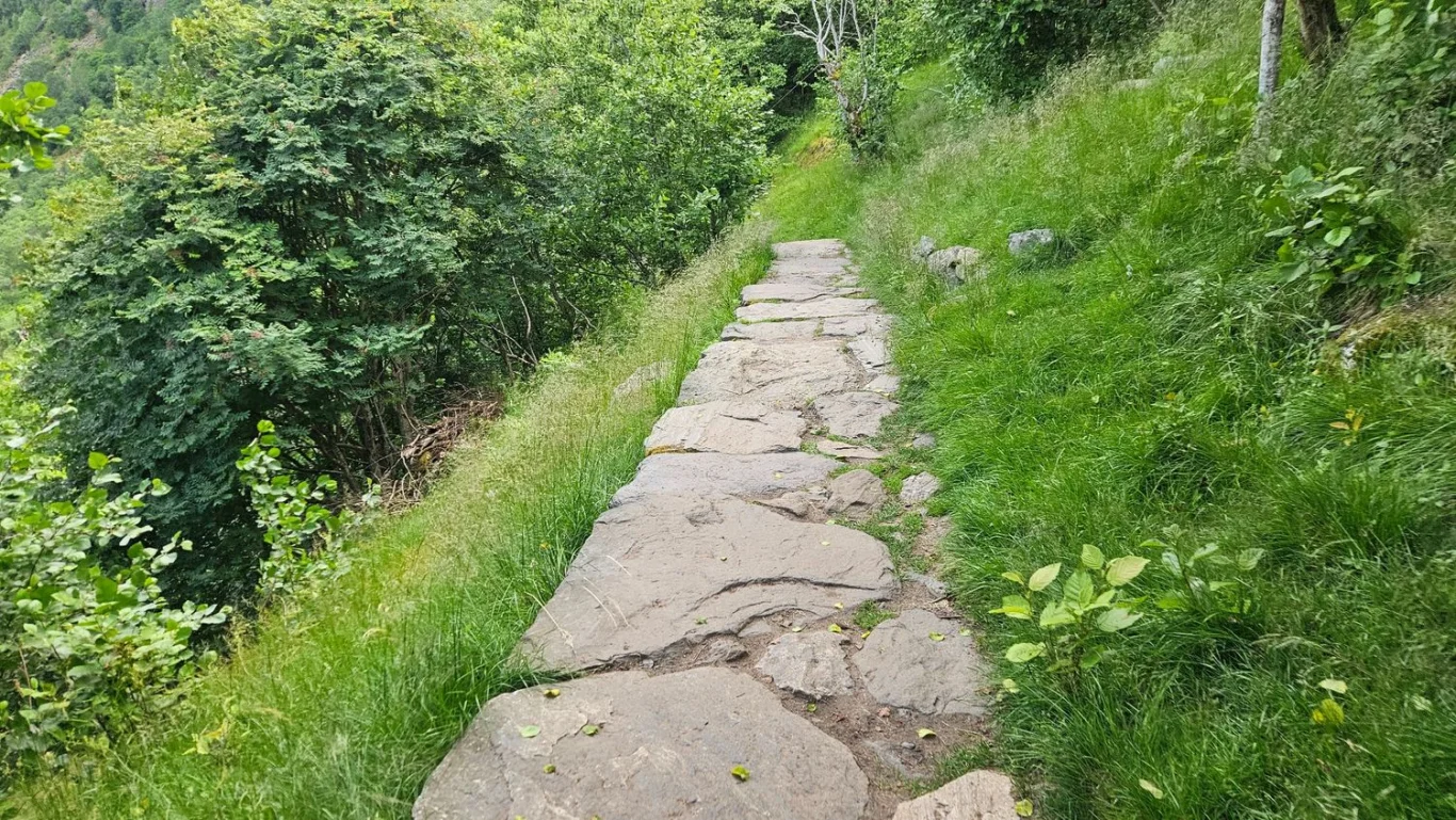
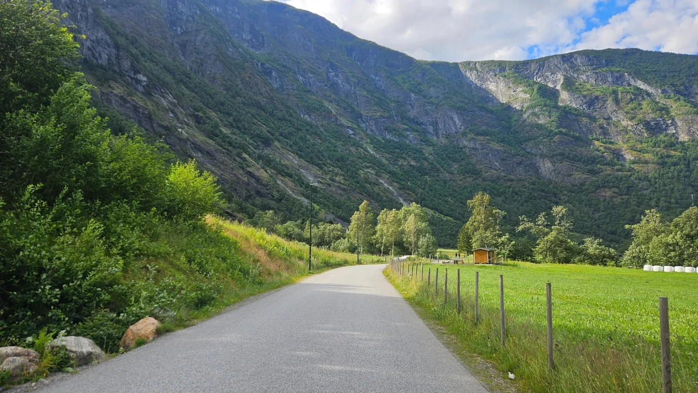
On a trip to the World Heritage Area, part 2: Grindaflethytta to Flåm
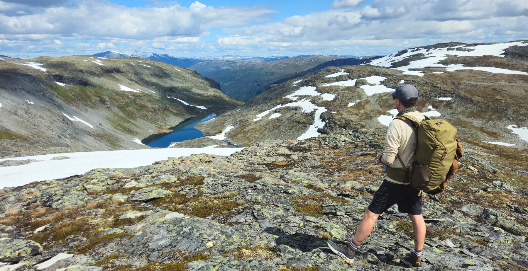
Photo: Admin
Information
Length: Approx. 16 km (one way)
Time: Approximately 6-7 hours
Elevation gain: Approximately 350 meters
Descent altitude: Approx. 1400 meters
Season: Christmas - Sep
Time: Approximately 6-7 hours
Elevation gain: Approximately 350 meters
Descent altitude: Approx. 1400 meters
Season: Christmas - Sep


Processing elevation data.. .
You use GPX files that you download from our server 100% at your own risk.
Accommodation nearby


Hiking nearby


On a trip to the World Heritage Area, part 1: Upsete to Grindaflethytta - Aurland, Voss, Vestland
Premium
Distance
10.06 Km


Flåm Zipline is the longest zipline in the Nordic region - Activities - Aurland, Vestland
Activities
Distance
12.18 Km


