Mountain hike to Rimstigen (725 m) from Nærøyfjorden
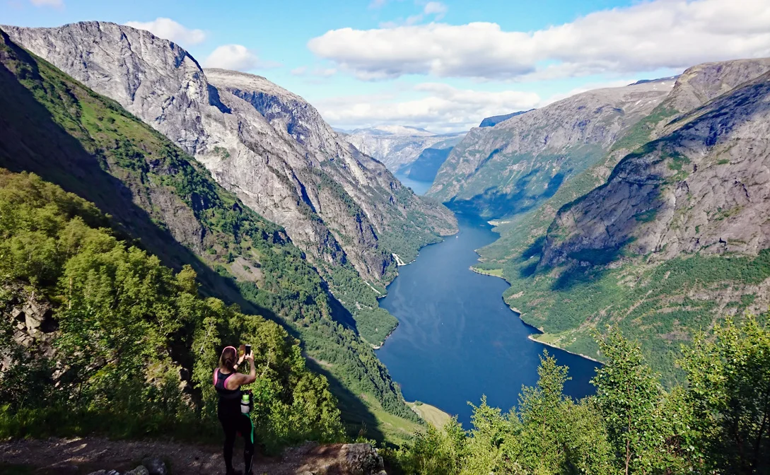
Photo: Chris A / Øyvind Øyum

Processing elevation data.. .
You use GPX files that you download from our server 100% at your own risk.
Accommodation nearby


Hiking nearby


On a trip to the World Heritage Area, part 1: Upsete to Grindaflethytta - Aurland, Voss, Vestland
Premium
Distance
9.68 Km


On a trip to the World Heritage Area, part 2: Grindaflethytta to Flåm - Aurland, Voss, Vestland
Premium
Distance
15.83 Km
