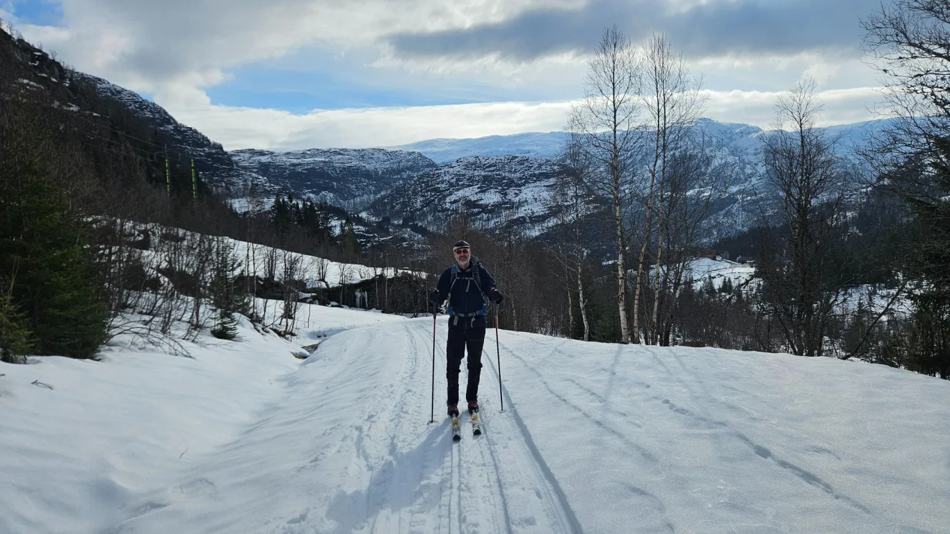
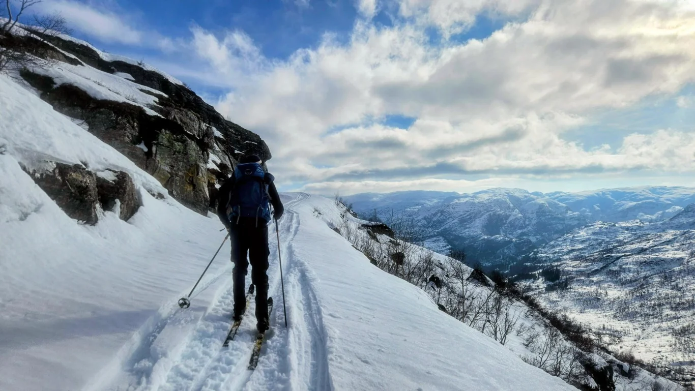
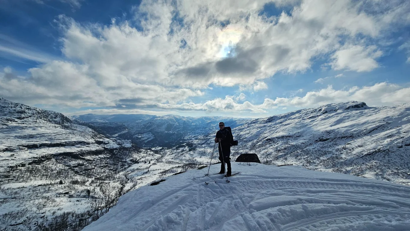
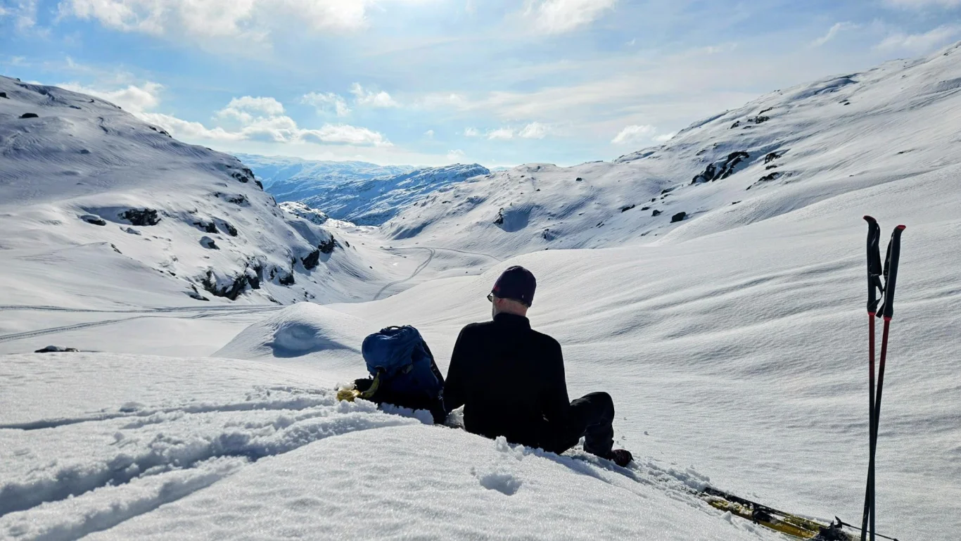
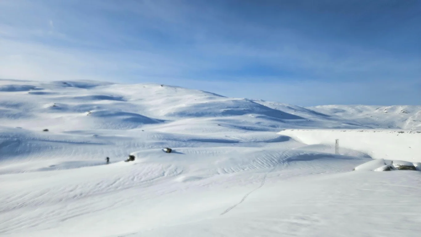
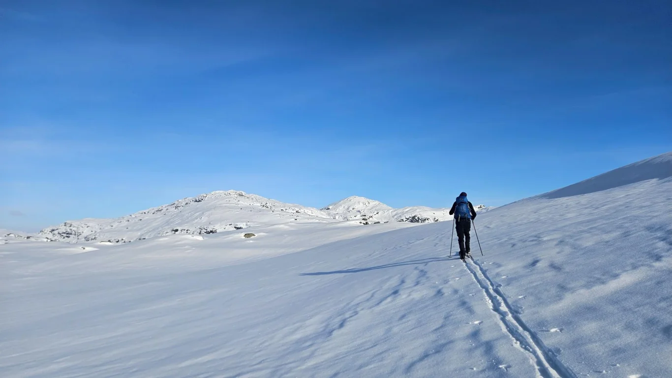
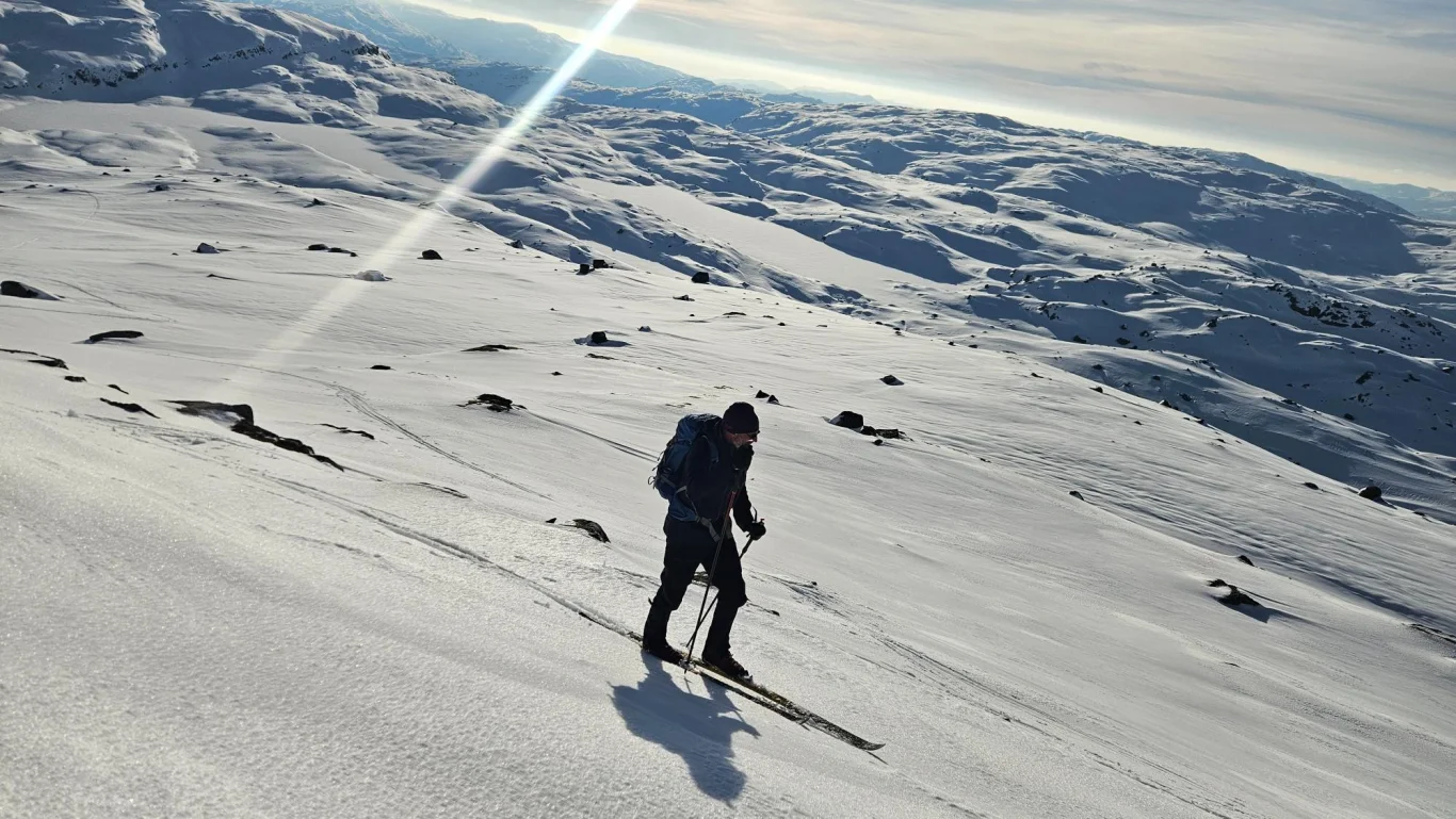
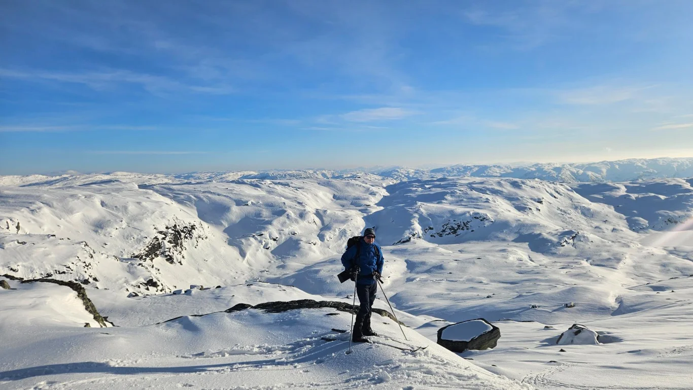
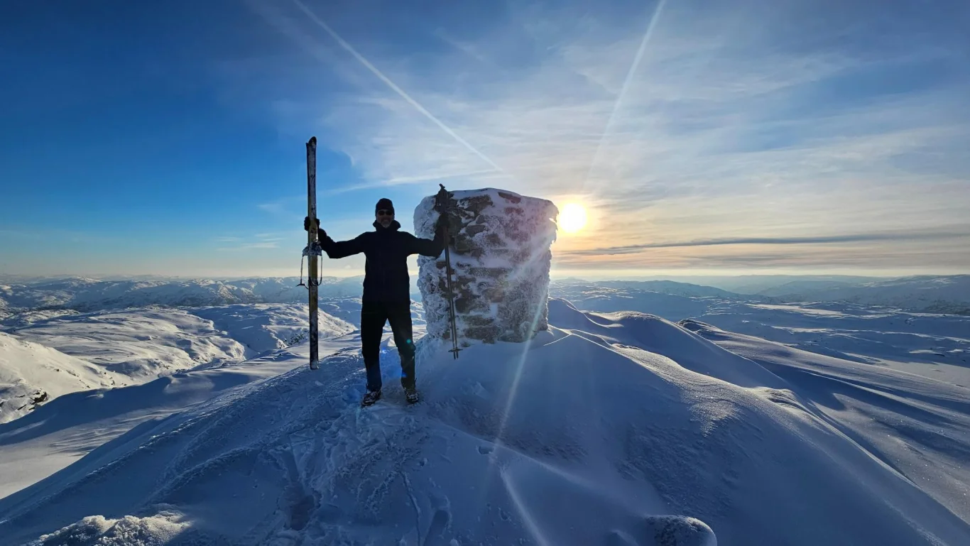
Ski trip to Skjerjavasshovden (1264 m) from Eksingedalen
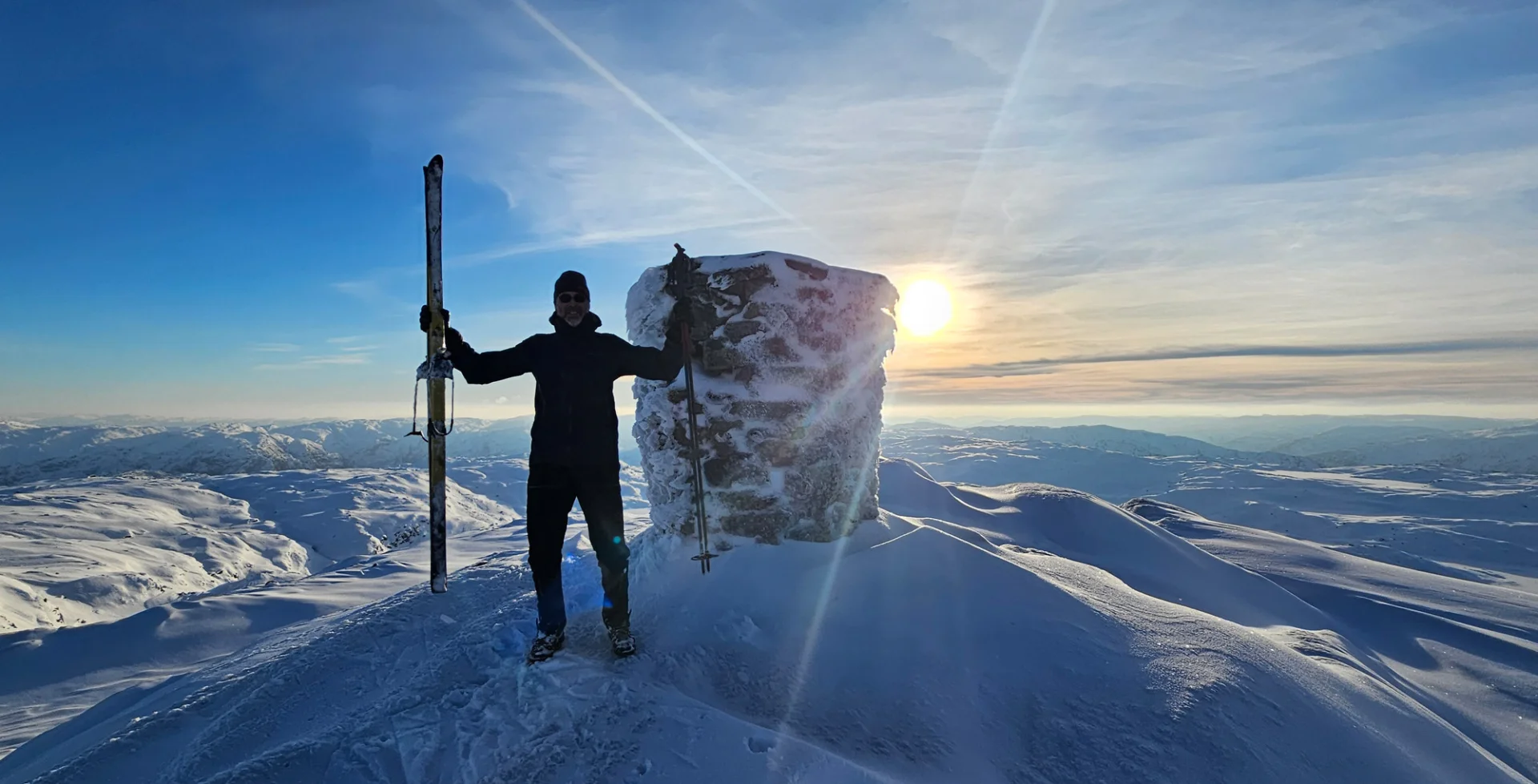
The GPX Track is for guidance only and may contain errors. Use at your own risk.
– always check maps, weather and conditions before your trip.
Access
Parking
Description
This tour starts at Fjellanger, at the barrier to the construction road that goes all the way up to Skjerjavatnet.
We strapped on our skis at the barrier and skied along the construction road all the way up to the dam at Skjerjavatnet. From here it is open high mountain terrain. Just before the dam we went east and up a small ravine west of Giljafjellet. We rounded Giljafjellet and flowed down towards the southeastern part of Skjerjavatnet (tjørni). From here we crossed the ice over the narrowest parts of the water. If you are unsure whether the ice is safe, you can walk a loop around the water.
From here we could see Skjerjavasshovden from a good Distance . After walking over the ice we continued up the ridge in a northeasterly direction towards the summit. You don't see the main peak itself until you've come a long way up, because there is a forepeak in front of the main peak with the cairn. There were also some snowdrifts, so we had to run back down a bit and then move further east before we could continue slowly in a northeasterly direction towards the summit. It was a nice and steady climb all the way. As you can see on the GPS Track , we rounded the peak on the right before we spotted the cairn on the left, where we went up.
At the top is a nice and large cairn. The view is absolutely fantastic, and you can see several glaciers in different directions.
If you are not a local, it is recommended to go down the same way you came up.
NB: Due to little snow this season, we skied all the way up to the dam. Usually, locals ski up the construction road to the sign at Haugastølen. From here they continue north up Tverrfjelldalen and further on the right side up Giljaneskaret. From there they come up to Skjerjavassvatnet, or Skjerjavasstjørni, as the map shows.