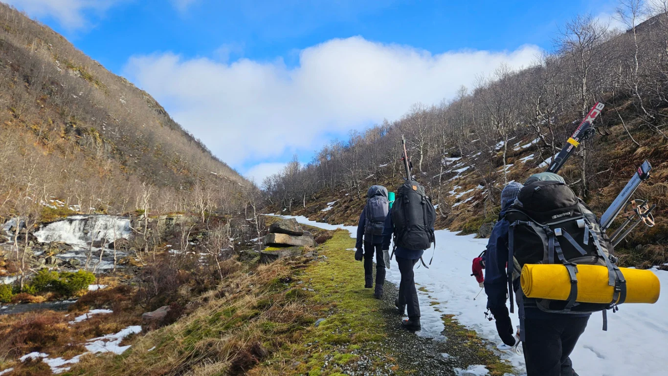
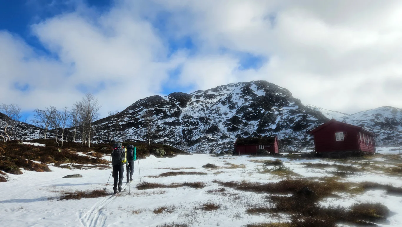
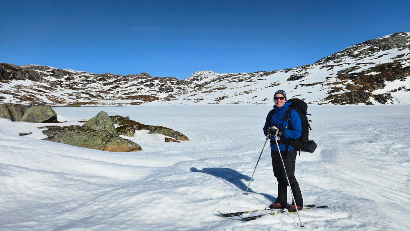
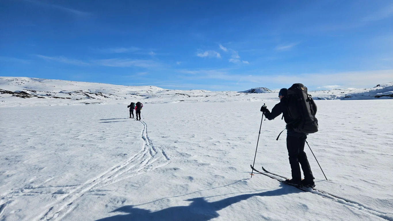
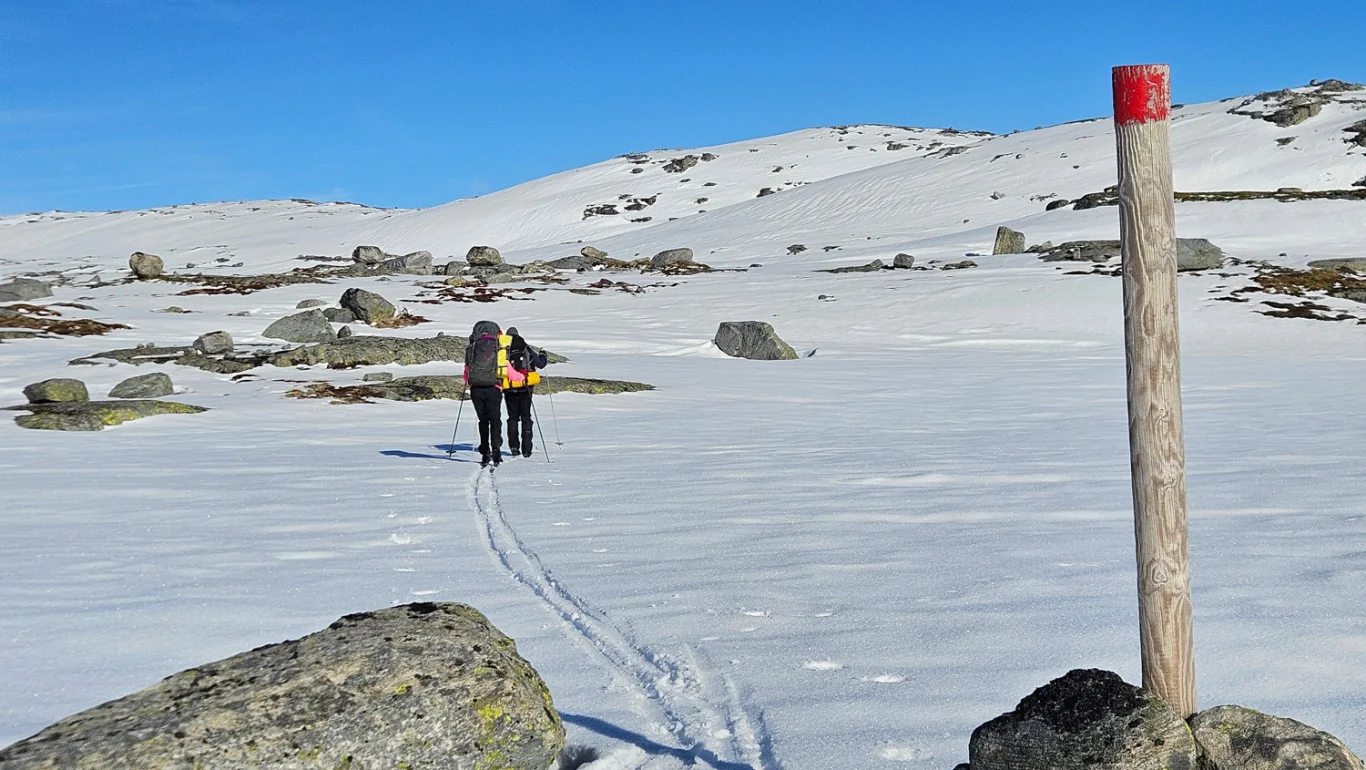
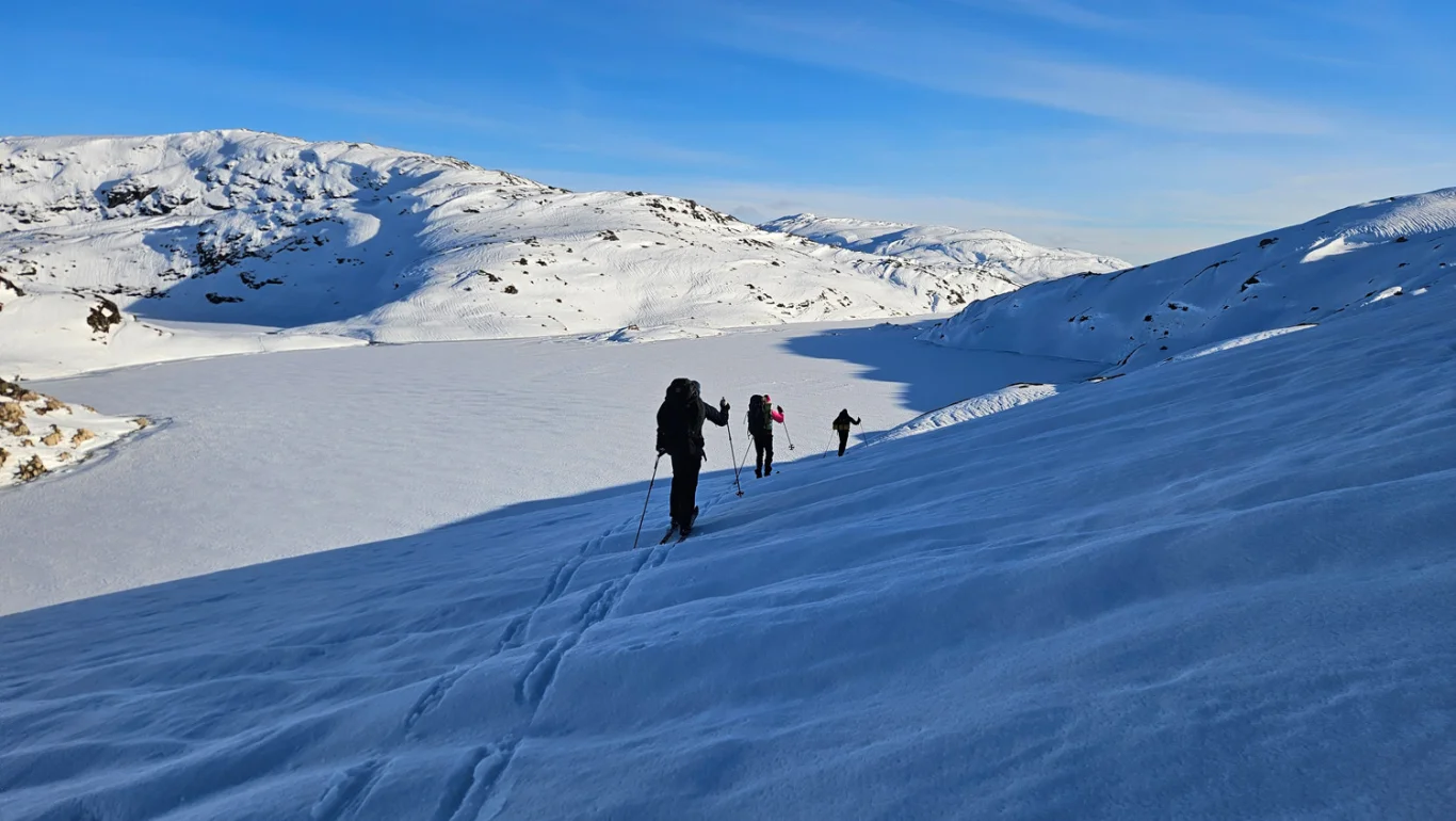
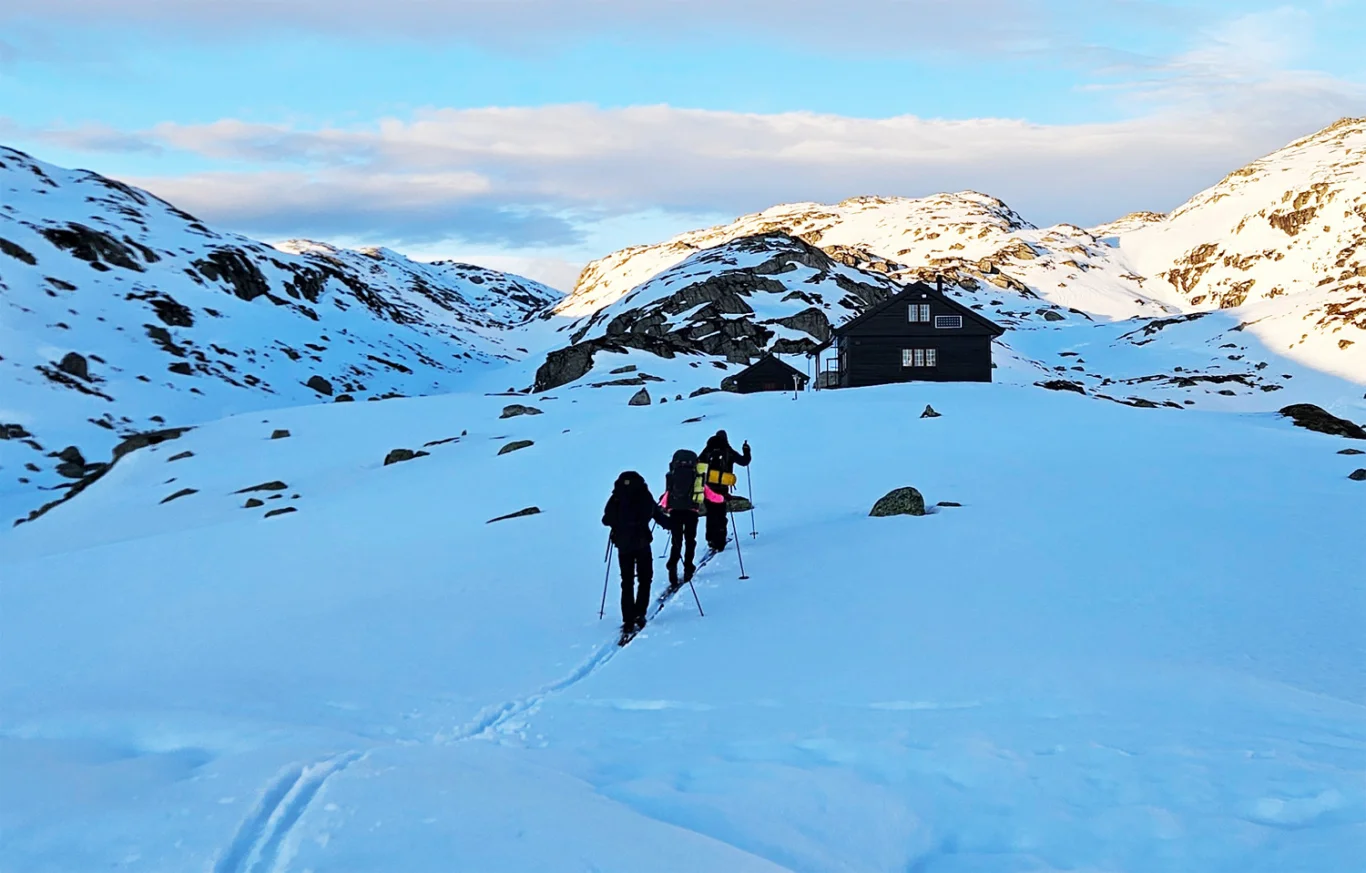
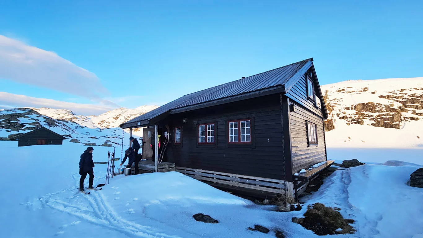
Part 1: Ski trip from Stordalen to the DNT hut Vardadalsbu (888 m above sea level)
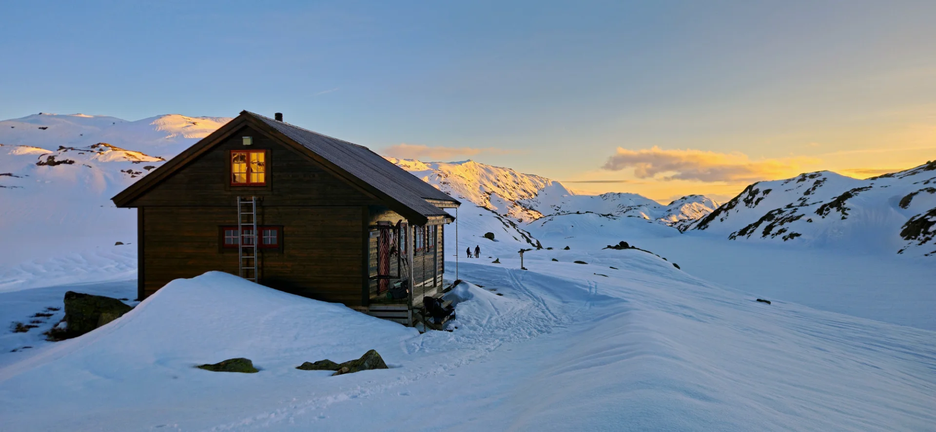
Photo: Admin


Processing elevation data.. .
You use GPX files that you download from our server 100% at your own risk.
Accommodation nearby


Hiking nearby
Vandretur til Sørebøstølen fra Sørebø Gard - Opplev Sørebødalen naturreservat - Høyanger, Vestland
Premium
Distance
8.43 Km

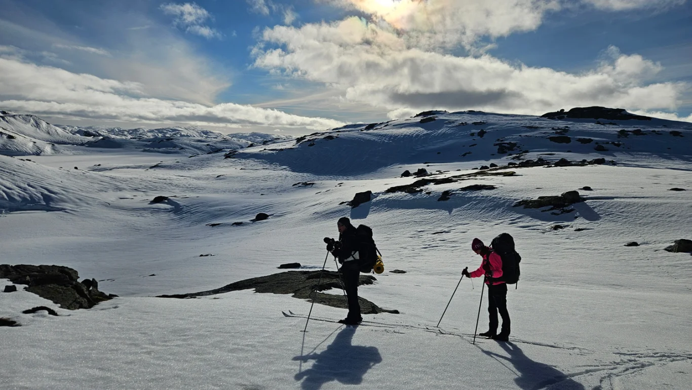
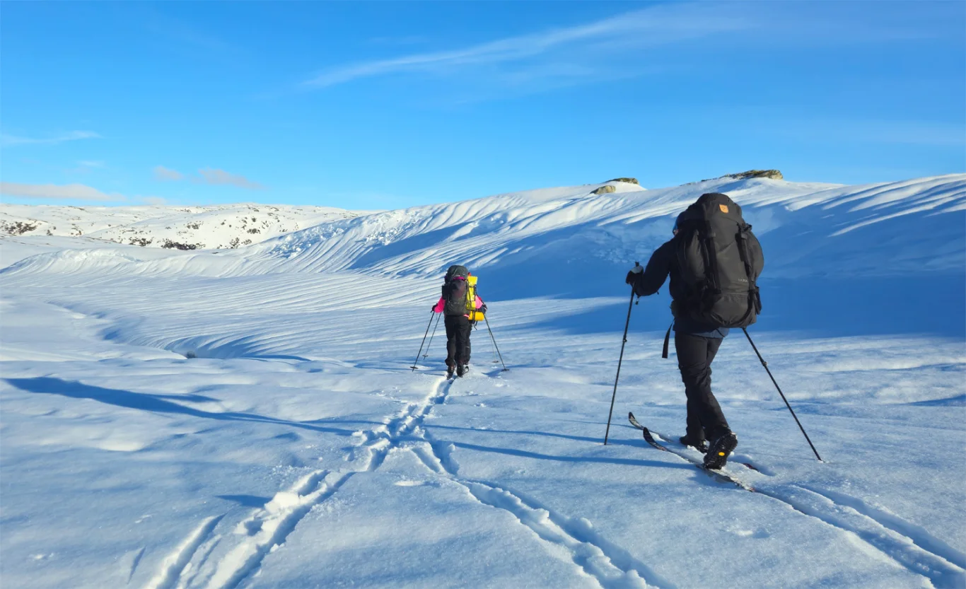
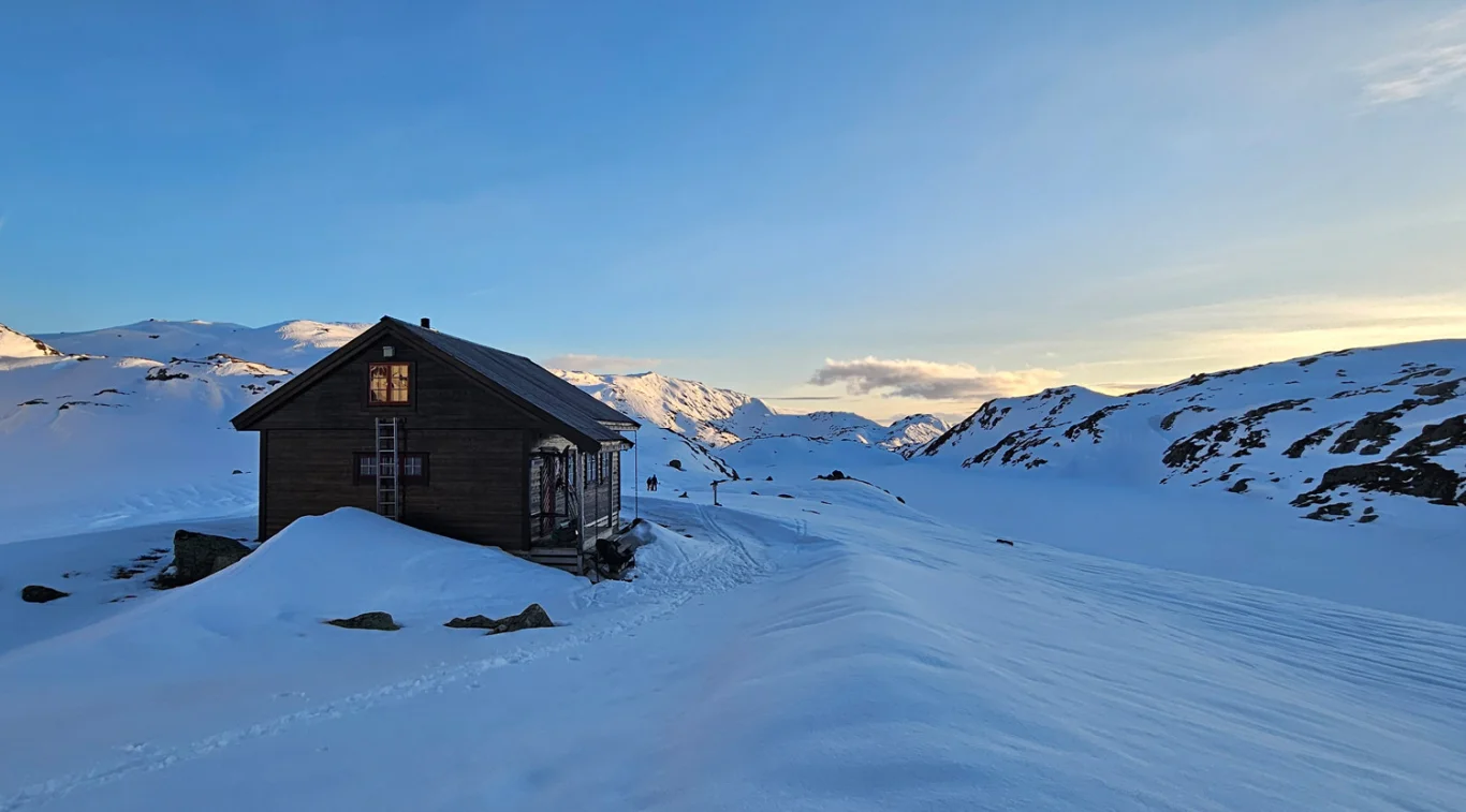
Part 2: Ski trip from Vardadalsbu to the DNT hut Norddalshytten (1004 m) - Modalen, Vestland
Premium
Distance
9.47 Km

Distance
9.55 Km

Distance
10.21 Km
Distance
11.28 Km

Hot
Distance
12.43 Km

Ski trip to Skjerjavasshovden (1264 m above sea level) from Eksingedalen - Vaksdal, Vestland
Premium
Distance
15.79 Km

Distance
15.8 Km

Part 3: Ski trip from Norddalshytten to Ortnevik by the Sognefjord - Høyanger, Modalen, Vestland
Premium
Distance
17.06 Km