Mountain hike to Skjerjavasshovden (1264 m) from Beinhelleren
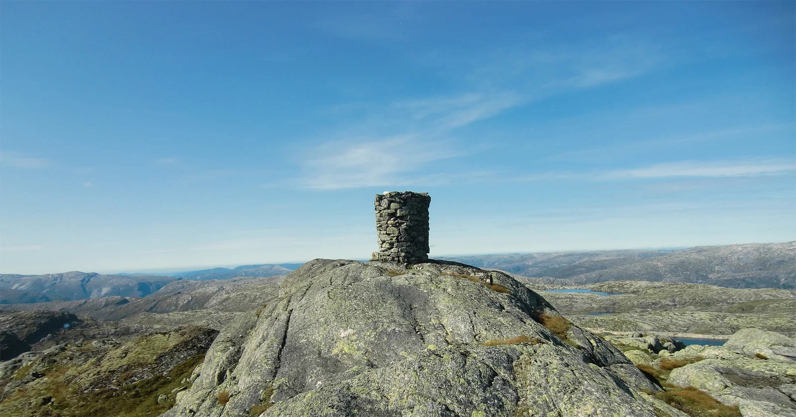
Photo: Kjell Øijorden
Information
Length: Approximately 11 km round trip.
Time: Approximately 5 hours.
Season: Summer - autumn.
Elevation gain: approximately 800 meters.
Time: Approximately 5 hours.
Season: Summer - autumn.
Elevation gain: approximately 800 meters.

Processing elevation data.. .
You use GPX files that you download from our server 100% at your own risk.
Accommodation nearby


Hiking nearby

Ski trip to Skjerjavasshovden (1264 m above sea level) from Eksingedalen - Vaksdal, Vestland
Premium
Distance
0.01 Km

Hot
Distance
5.27 Km


Part 1: Ski trip from Stordalen to the DNT cabin Vardadalsbu (888 m) - Masfjorden, Modalen, Vestland
Premium
Distance
15.8 Km
Distance
18.31 Km


Part 2: Ski trip from Vardadalsbu to the DNT hut Norddalshytten (1004 m) - Modalen, Vestland
Premium
Distance
19.23 Km