
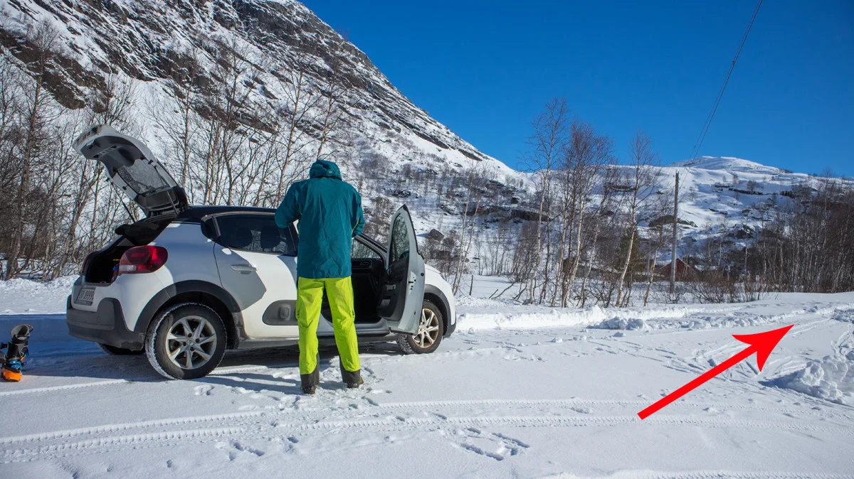
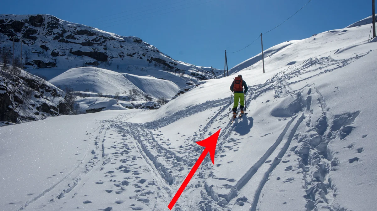
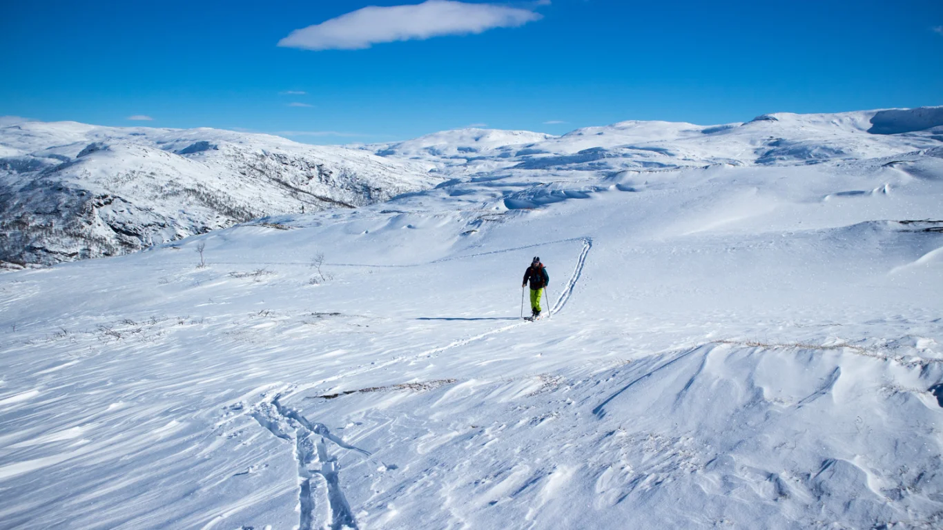
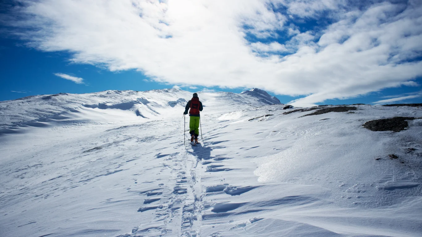
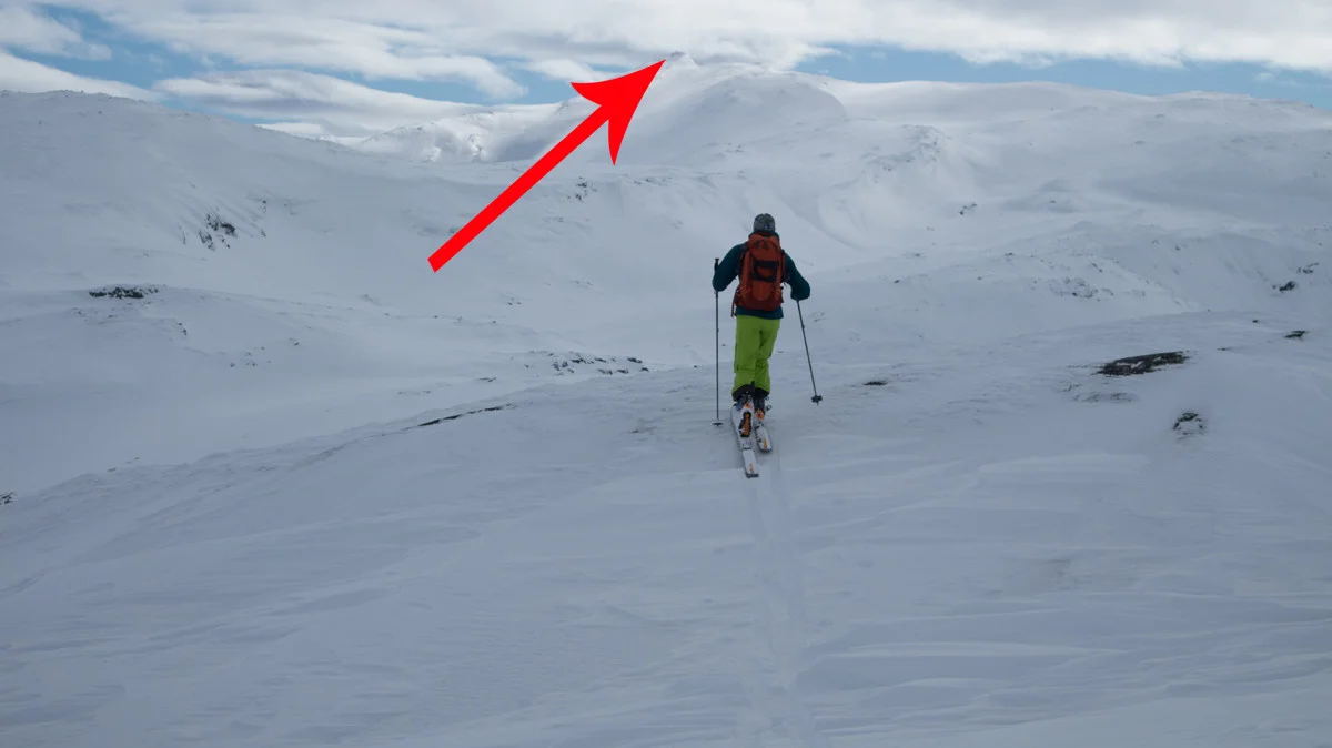
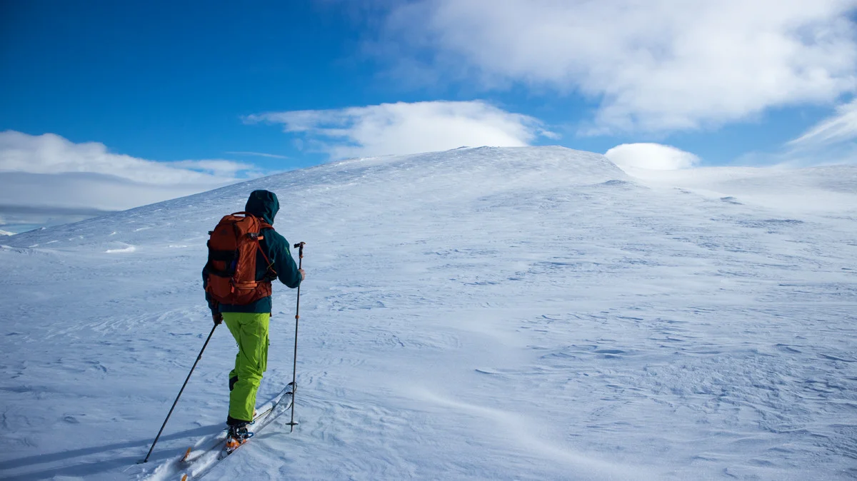
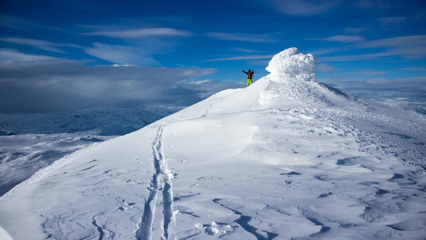
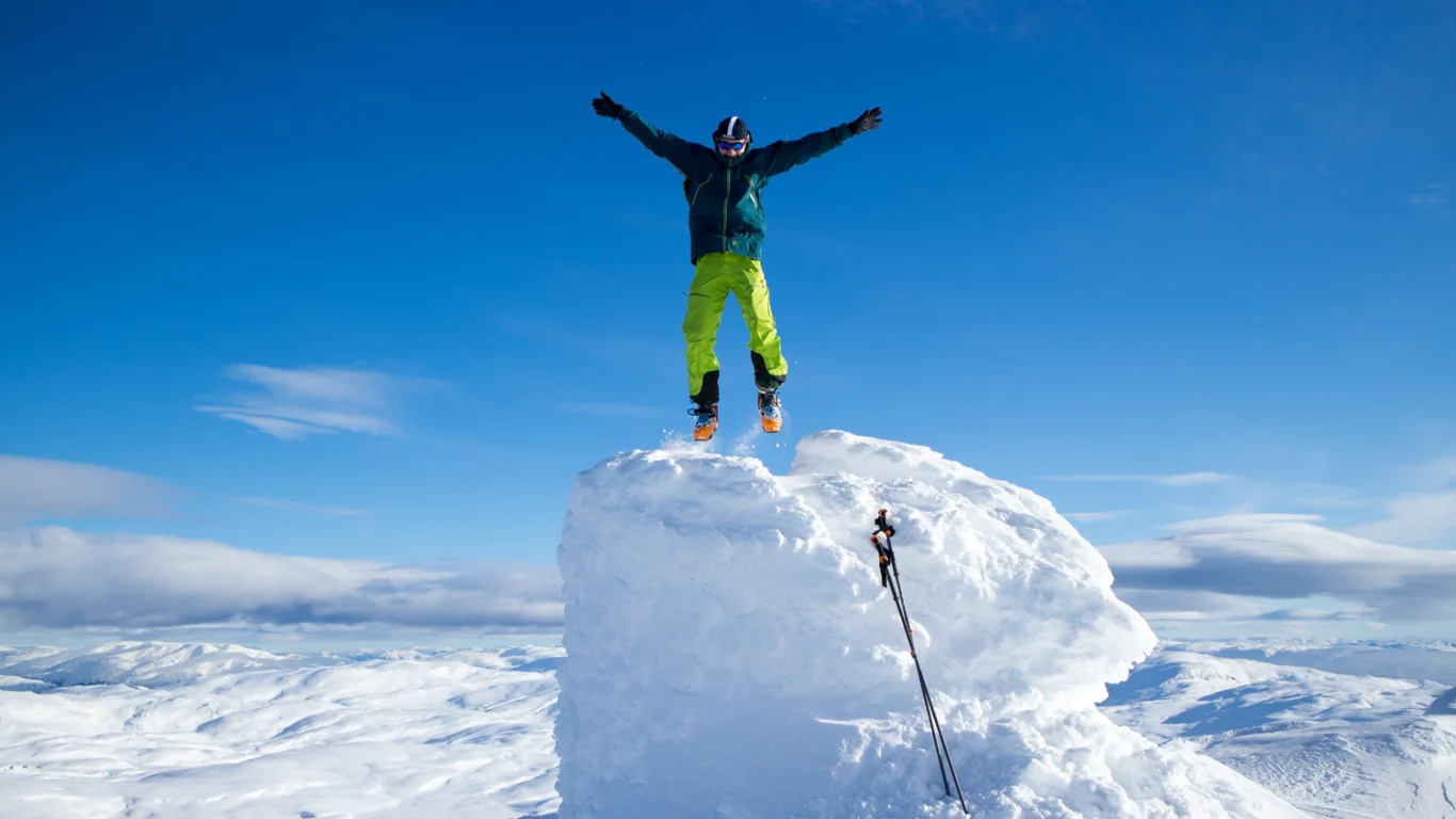
Ski trip from Gullbrå to Kvitanosi (1433 m above sea level)
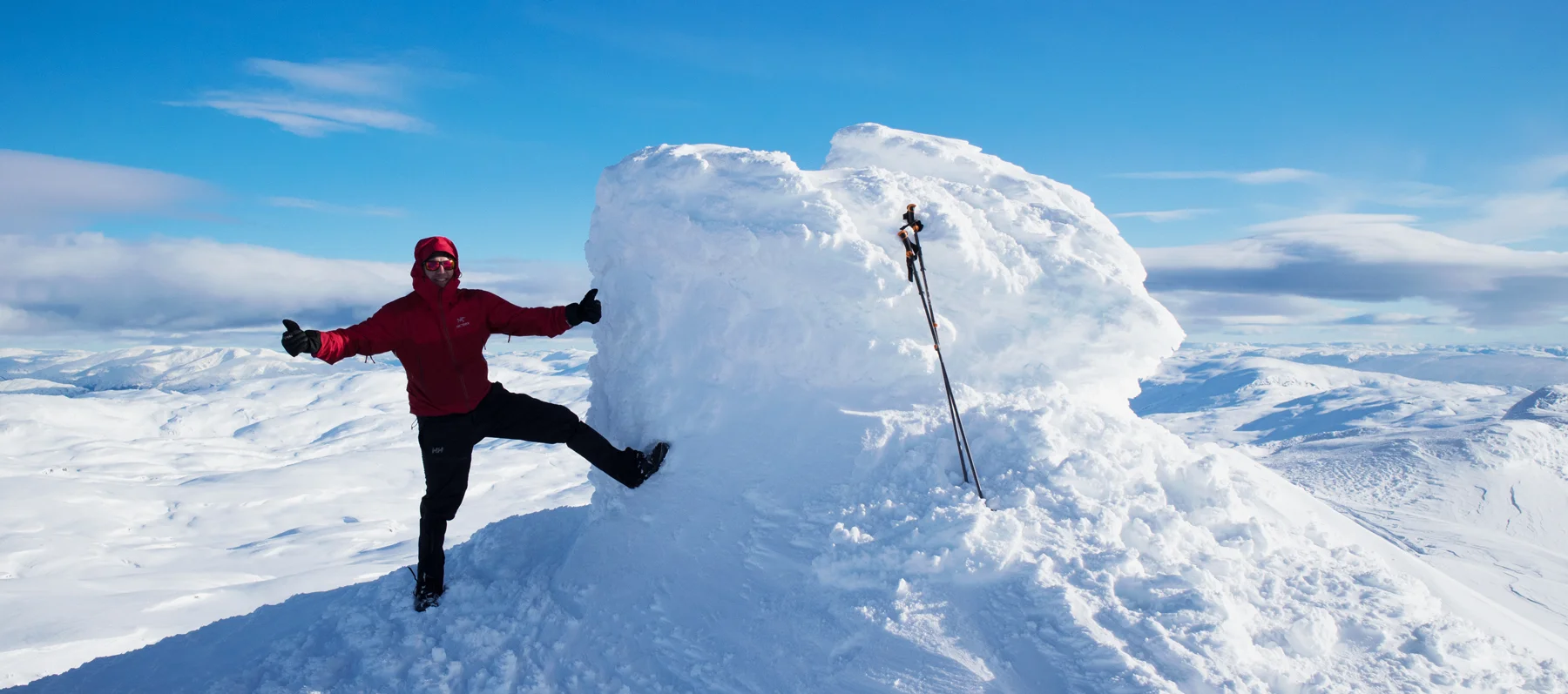
Skitur fra Gullbrå til Kvitanosi (1433 moh)
Photo: Admin

The GPX Track is for guidance only and may contain errors. Use at your own risk.
– always check maps, weather and conditions before your trip.

Access

From Bergen, drive towards Voss. Drive past Dale and then past Bolstadøyri. When you reach Evanger, turn left at the sign 'Evanger/Eksingedalen'. Drive over the bridge and continue along Evangervatnet. Follow Teigdalsvegen north into the valley. Drive the road over Brekkhusfjellet to Nesheim and then right at the intersection sign 'Gullbrå'. Follow the road all the way to Gullbrå. Just before the road ends, turn right over the bridge (Green sign marked 'Tursti') and then left. Drive to the end of the road to the parking lot.
It is approximately 2 hours and 10 minutes drive from Bergen.

Parking

Parking space at the end of the road. If the road is bare, you can park further up in a pocket by the construction road.
I have been informed that payment was made with Vipps (2021), but we did not find any information about this.

Description

Strap on your skis and follow the construction road about 300 meters into the valley. Just past the bridge, go right up the slope.

Here it is steep and you quickly gain altitude. Once you have passed the tree line, follow the ridge called Gråbergsrusten up towards Kjerringanosi.

Oppå platået flater terrenget ut. Følg ryggen et stykke og deretter kryss Kjerrinanosi platået over mot venstre. Gå sørover på venstre side av fjellet ned i dalen mot Dyratoni før oppstigning til Kyrafjellet.

Now that you are going up the ridge to Kyrafjellet you have to be careful, because there can be scary snowdrifts. As you can see on the GPS Track we chose to go south (right side direction Kvitanosi) on the west side before we rounded back up to Kyrafjellet. Down again we took a different route here. So here you have to pay close attention to the terrain.

Once you are up on Kyrafjellet, just follow the ridges south. It is flat and therefore there is little risk of landslides. After a while you will see the top of Kvitanosi. From a Distance it looks steep but it is not.

To get to the cairn, it is best to round up on the south side.

In winter, the cairn is a large lump of ice. Enjoy the incredible 360-degree view, because you won't get any higher in Stølsheimen.

Return the same way.

Enjoy!

Information

Kvitanosi (1433 m.)
Length round trip approximately 15 km.
Elevation gain: Approximately 800 m.
Time: 6-8 hours. (4 hours up, 3 hours down)
Season: Winter.
Recommended for mountain skiing, also suitable for randonee.
This is a demanding ski trip because you are far off the beaten Track . Only go if the weather is good, do not go alone, remember GPS, map and compass. Warm clothes and plenty of food.
Rating: Extra Demanding

Processing elevation data.. .

You use GPX files that you download from our server 100% at your own risk.

Accommodation nearby

Hiking nearby