
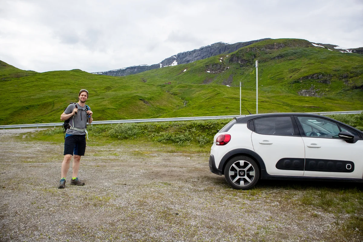
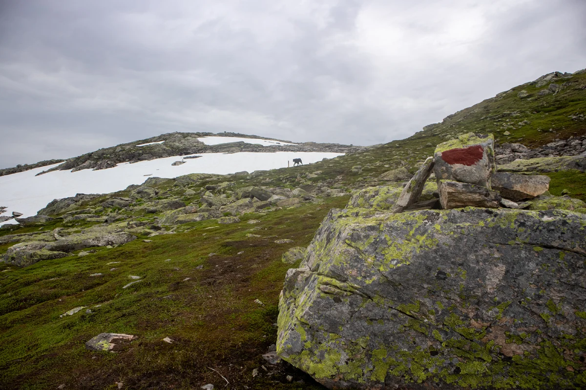
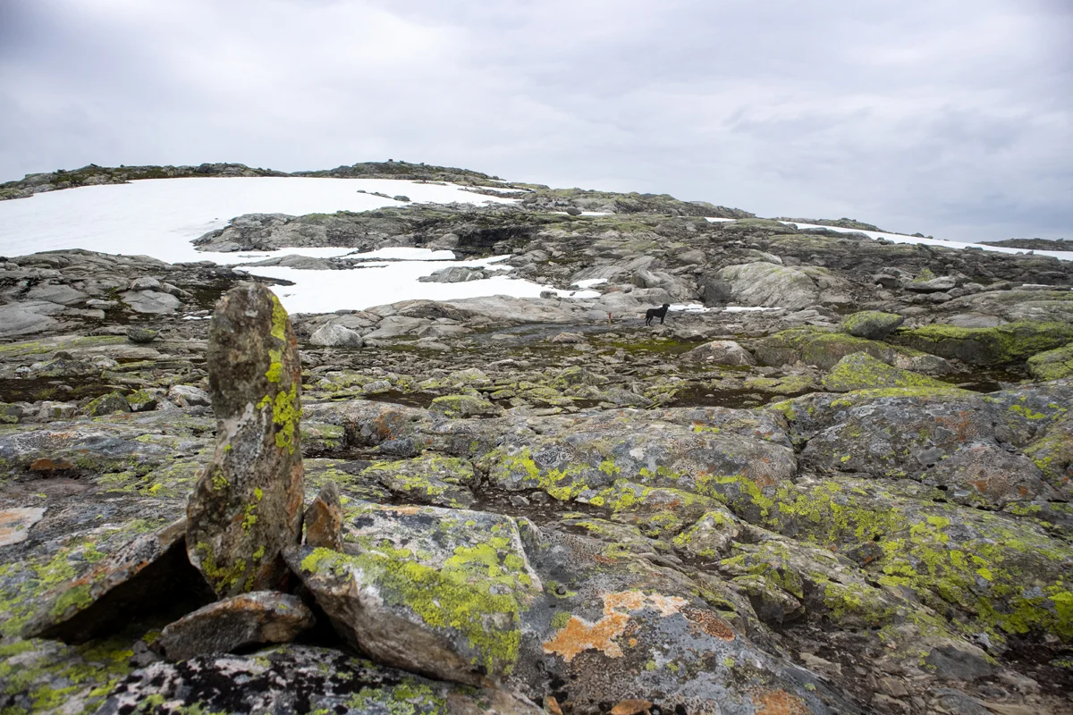
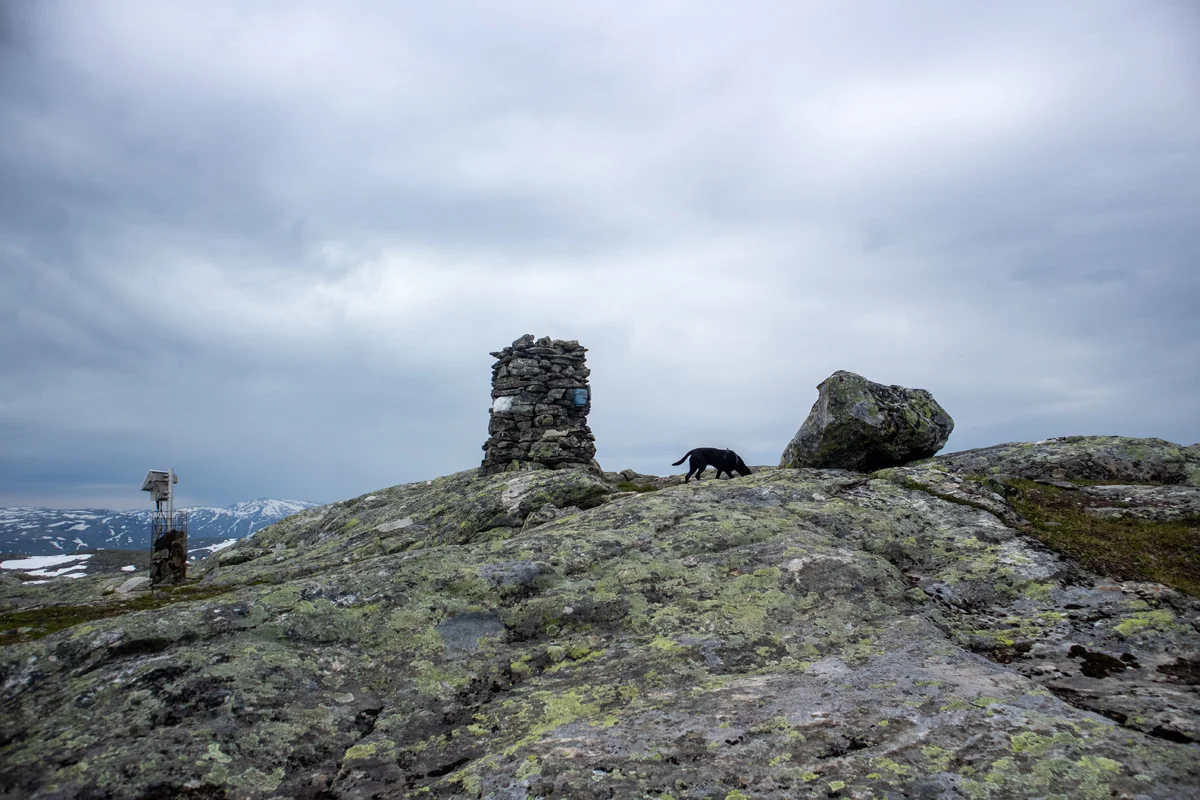
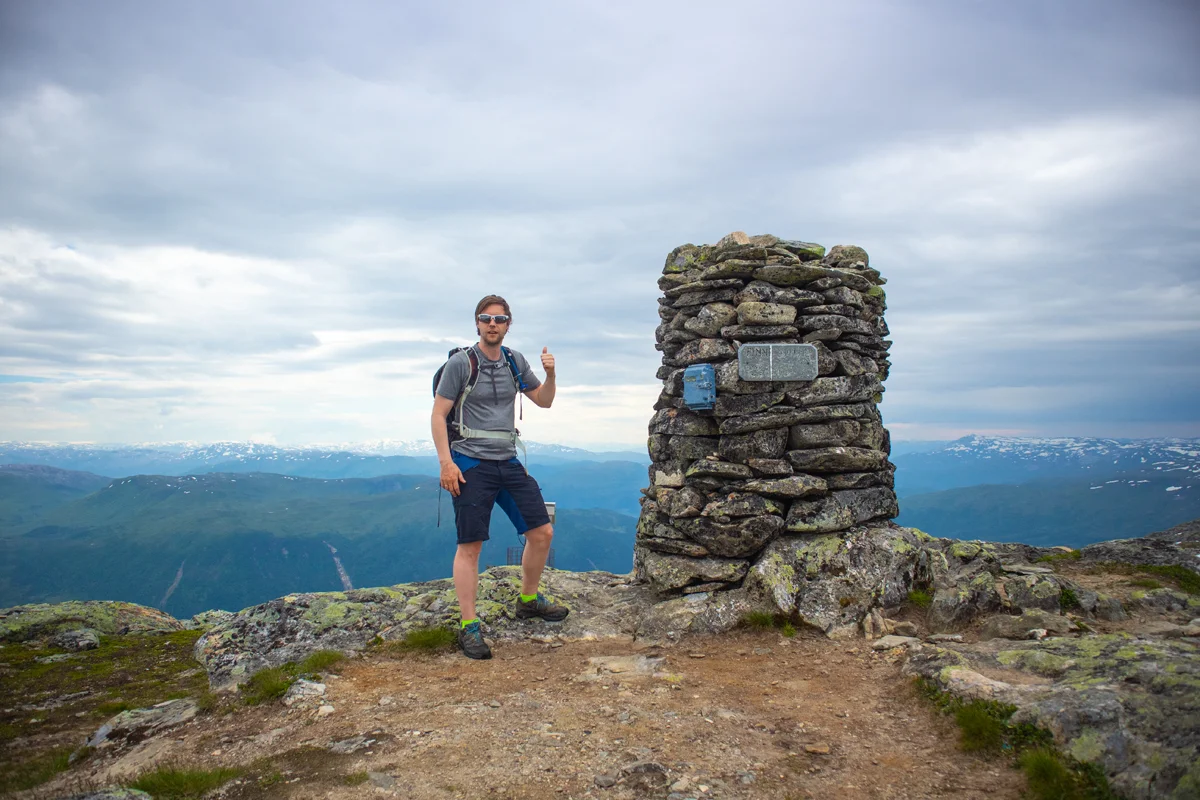
Finnbunuten (1358 m) from Vikafjellet

Finnbunuten (1358 moh) fra Vikafjellet
Photo: Admin

The GPX Track is for guidance only and may contain errors. Use at your own risk.
– always check maps, weather and conditions before your trip.

Access

From Bergen you drive to Voss. Just before Vossevangen you drive through the Vangstunnelen. After the tunnel you drive left to Myrkdalen. From here you drive up the bends to Vikafjellet. Just after the bends you will see a parking space on the left with a sign. You can stop here. If the space is full, you drive on and park on the right.

Parking

Free parking at Vikafjellet.

Description

From the parking lot, follow the road 100 meters on the left. Cross the bridge and follow the path that goes up to the farm at Finnbuene. From the farm, follow the path further into the valley. Cross the river. If there is a lot of water, it is recommended to cross further up. Follow the path further on the left side of the river into Finnbugjuvet.

From here the path gets worse. You will go up the ridge on your left. Go up towards the south until you reach the ridge. You can see a mini cairn that marks a viewpoint. Up on the ridge you feel it towards the south-west. The terrain is mostly flat, but in some places it goes down into dumps. There is no marked path here so you have to follow the terrain. Go west up to the Next plateau. Here it is steep, but you will see a path/animal tracks to the right. When you reach the top you can see Finnbunuten cairn in the Distance .

Now the terrain flattens out. Go west and cross between two bodies of water. Continue straight ahead and you will enter the marked path towards Finnbunuten. A little unsure where this marked path comes from, but I think it goes from the ski lift in Myrkdalen. Follow the red markings (stones and wooden sticks) to the top. You can see the cairn from a good Distance .

At the top there is a nice view. You can see Jostedalsbreen to the north. There is a tough marble stone in the cairn. There is a mailbox, but the book there was printed in 2020.

Return the same way.

Information

Finnbunuten (1358 m.)
Round trip: Approx. 8 km.
Time: approximately 4 hours.
Elevation gain: approximately 500 meters.
Season: Summer. Skiing in winter.
Parts of this hike are off the marked trail. I would recommend bringing a map and GPS. Don't hike this route if it's foggy. Study the map and trail in advance. The bridge at the beginning is terrible, so I would recommend another crossing point if you have a dog.
Grading: Medium

Processing elevation data.. .

You use GPX files that you download from our server 100% at your own risk.

Accommodation nearby

Hiking nearby