The GPX Track is for guidance only and may contain errors. Use at your own risk.
– always check maps, weather and conditions before your trip.
Approximately 1 hour 25 minutes (87.4 km) drive from Bergen to the Bjørn West march (start).
Approximately 1 hour 45 minutes (101 km) drive from Bergen to Stordalen Fjellstove (finish).
Every year, on the penultimate Sunday in August, the Bjørn West March is held to commemorate the events that took place in Matrefjella towards the end of World War II.
The tour takes you past many of the places that are connected to special events in connection with the war effort.
If you are going to do the hike on your own, it is a good idea to organize transportation back from Stordalen. To get to the starting point, turn off the E39 just south of the Masfjord tunnel and follow the construction road for about 7 km. The start of the trail is well marked, and the path is easy to follow the entire way.
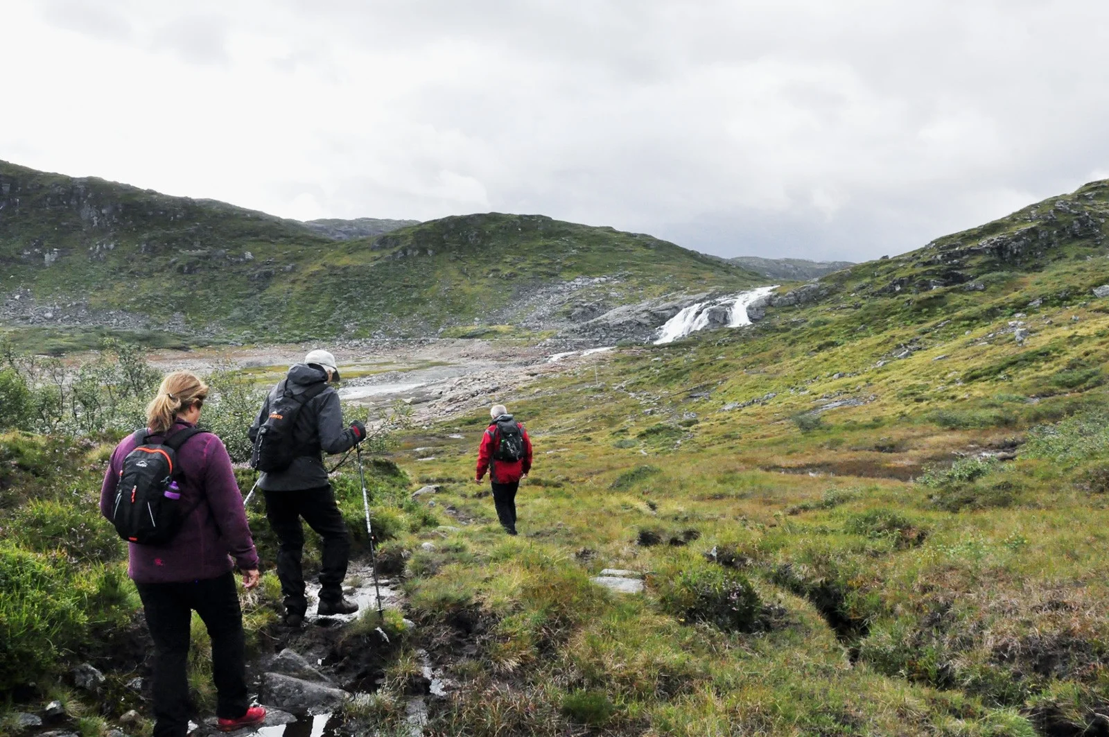
The hike starts at Godbotsvatnet and goes past Litlematrestølen. It then goes on rocks and a fixed path on the west side of Kvitevasseggjen. Then steeply down to Krokvatnet, along the south side of the lake in deciduous forest. Further up to a small ridge where you look down into Kringlebotn. From here it goes steeply up to Klavefjellet. From the highest point at Skjerjavatnet the hike goes in hilly terrain before you 'plunge' down towards Stordalsvatnet.
When you have reached your destination, you can relax and end the trip by enjoying a delicious dinner at Stordalen Fjellstove!
You can either walk the walk on your own or you can walk it at the event on the second last Sunday in August.