
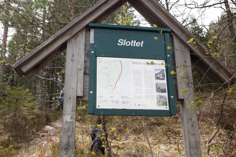
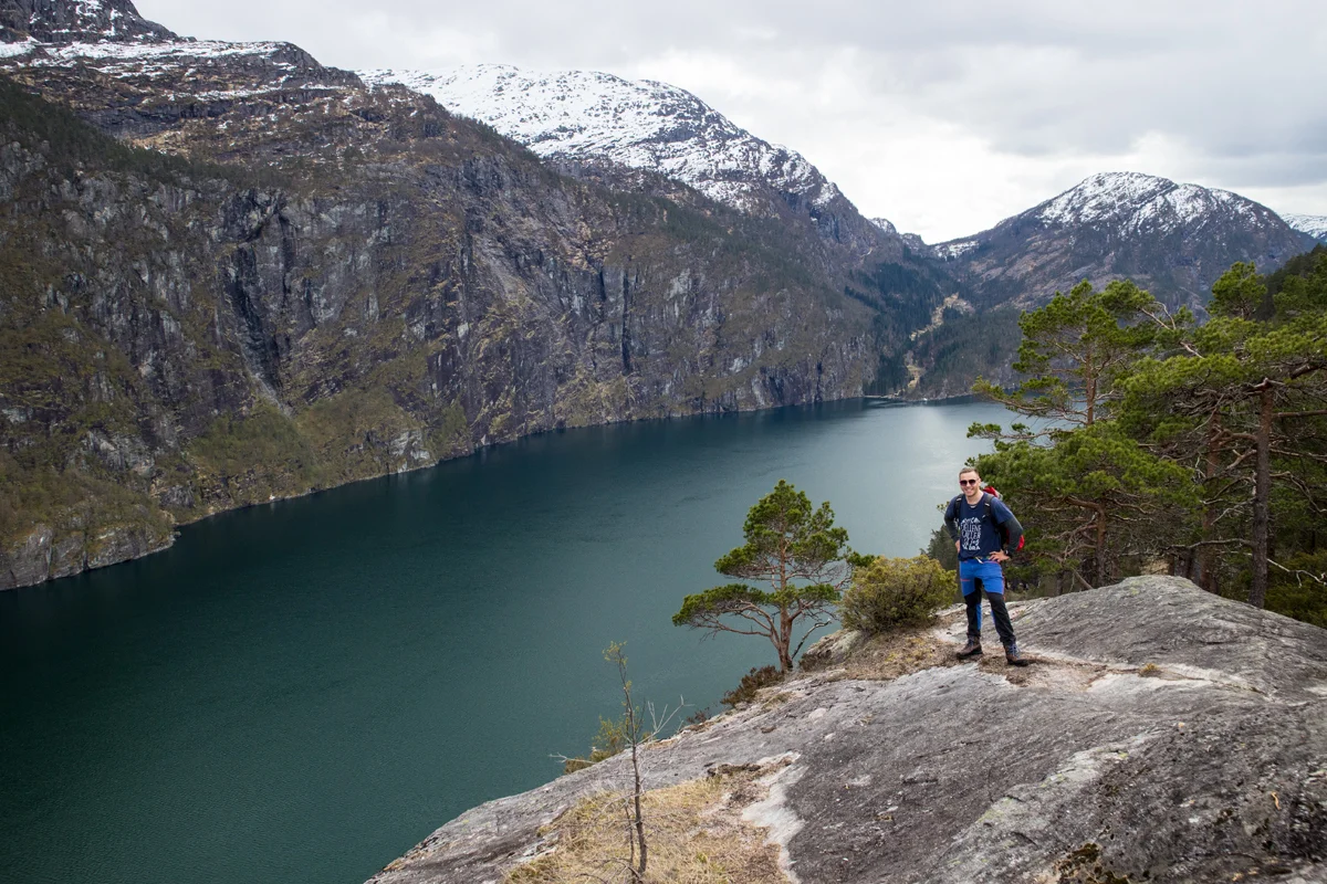
The castle (192 m above sea level) in Modalen
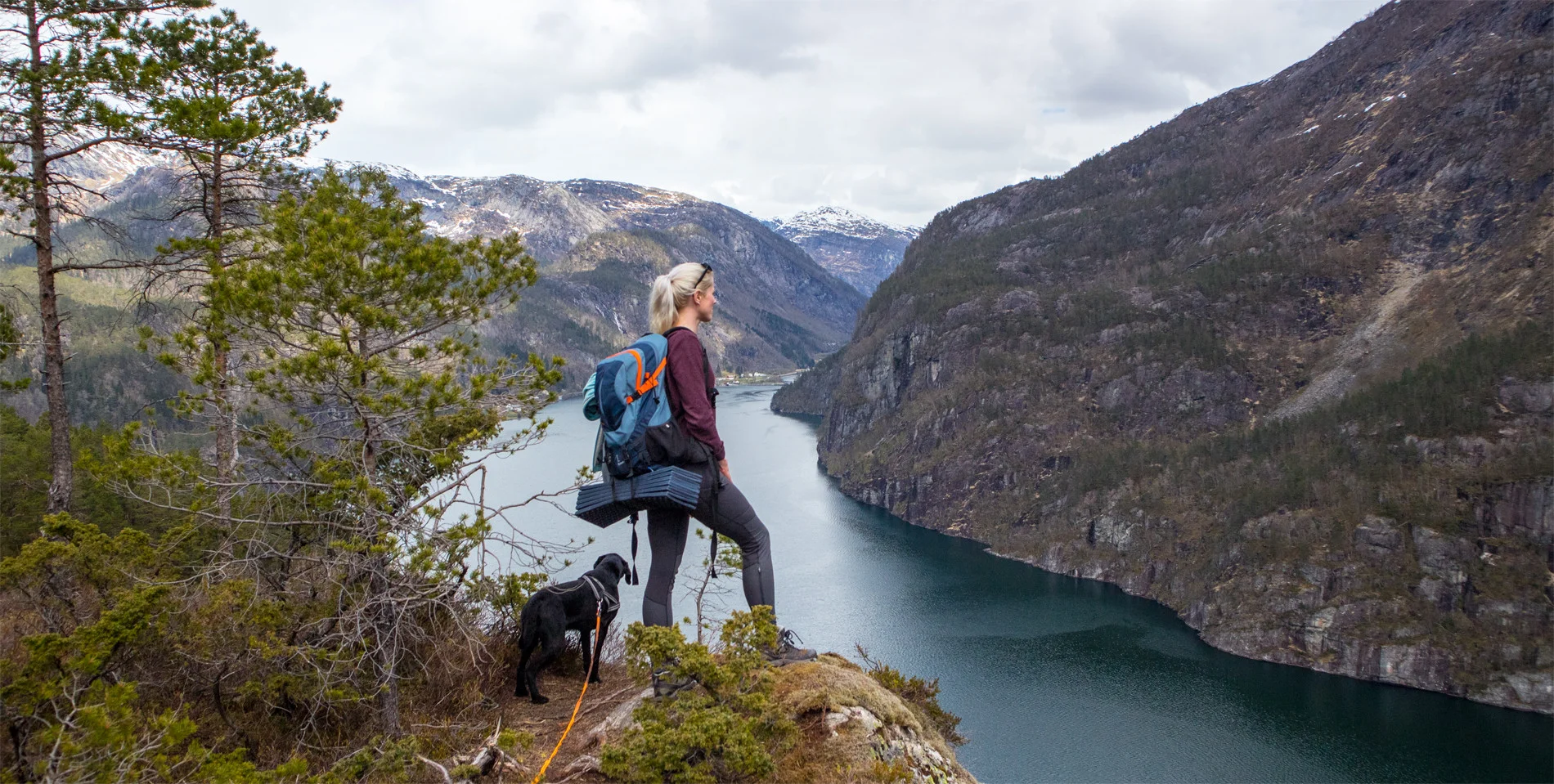
Slottet (192 moh) i Modalen
Photo: Admin

The GPX Track is for guidance only and may contain errors. Use at your own risk.
– always check maps, weather and conditions before your trip.

Access

From Bergen, drive towards Åsane and continue over the Nordhordlandsbroen bridge to Knarvik. Drive through the roundabout in the city center north on the E39 signposted Ålesund. Follow the road along the Osterfjorden to Romarheim. Turn right at the signposted 'Modalen' just before the mountain pass starts. Drive the road into the valley through the tunnels along the Romarheimsfjorden. Drive through the Slottportunnelen and drive approx. 1.5 km.
It is about 1.5 hours drive from Bergen.

Parking

Free parking in the parking lot on the right side. If it is full, you can park in the parking lot.

Description

This is an easy hike suitable for everyone. From the road it is about 1.3 km to Slottet, which is a mountain shelf that extends into the Romarheimsfjorden at 192 m.

From the road you enter the path signposted 'Slottet'. Follow the path up the slope to the south-west. Go past the large rock and cross the small stream. It is a steady climb all the way and somewhat boggy at the beginning. Just after the stream there is a new sign. There are painted bruises on the trees and the path is good. Just before the top it goes downhill and you can see the mountain shelf from a tough angle. Follow the path further and round up to the back of the Slottet.

At the top there is a mailbox, a small mine guard and an impressive view of Romarheimsfjorden in both directions. If you are afraid of heights you should not go too far out to the edge. Return the same way.

Information

Length round trip: approximately 3.6km.
Approximately 150 meters of elevation gain  
Time: Approximately 1-2 hours
Season: All year round.
Grading: Simple

Processing elevation data.. .

You use GPX files that you download from our server 100% at your own risk.

Accommodation nearby

Hiking nearby