Mountain hike from Dyrkolbotn to Sørdalsnuten (957 m above sea level)
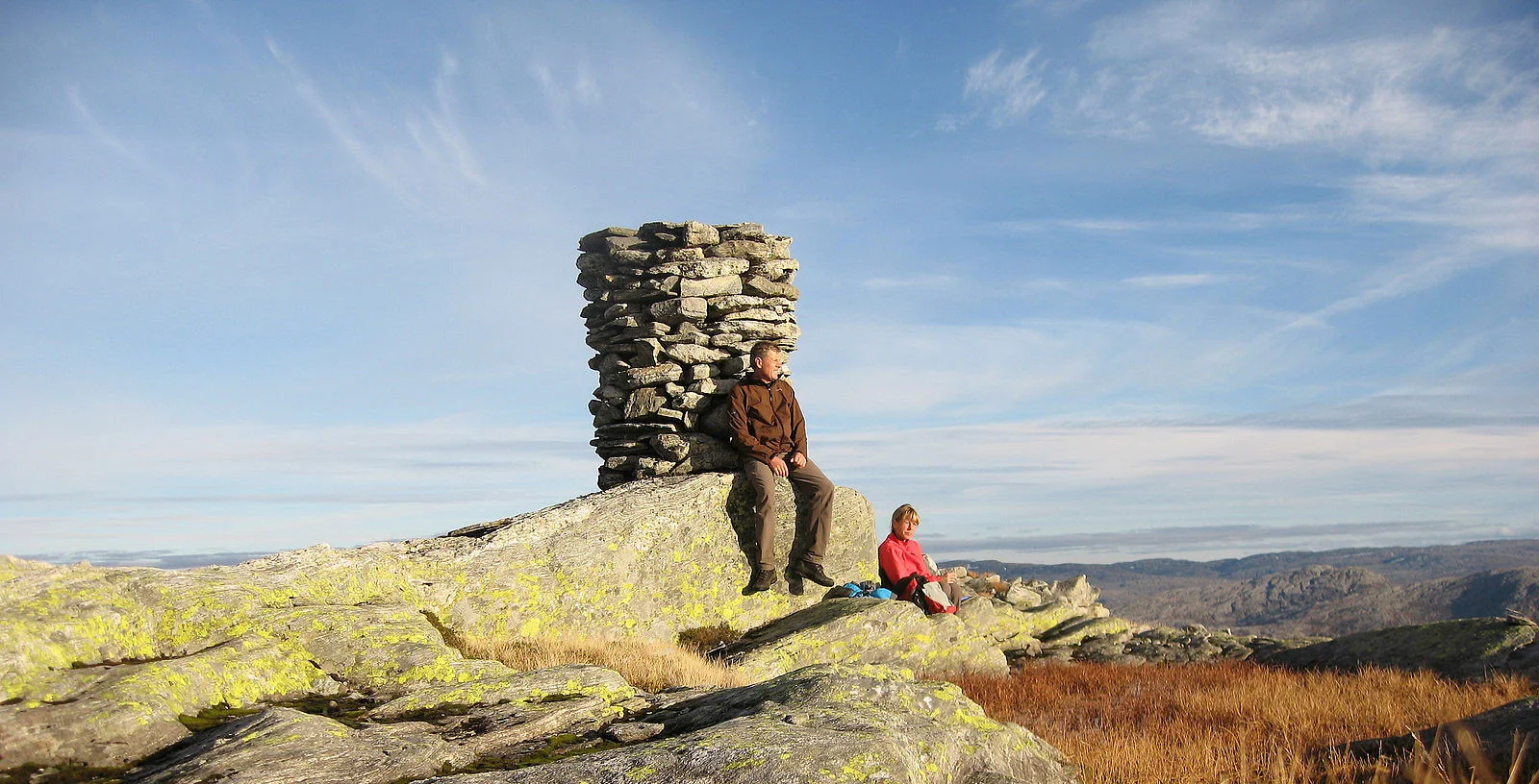
Photo: Otto Lund

Processing elevation data.. .
You use GPX files that you download from our server 100% at your own risk.
Accommodation nearby


Hiking nearby


Distance
14.34 Km

Distance
15.68 Km


Part 1: Ski trip from Stordalen to the DNT cabin Vardadalsbu (888 m) - Masfjorden, Modalen, Vestland
Premium
Distance
18.33 Km
Distance
18.66 Km

