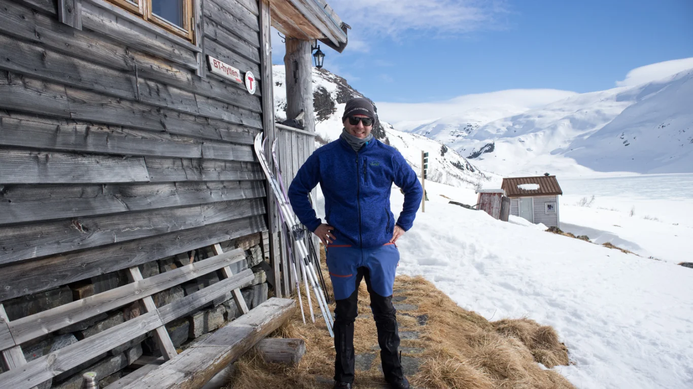
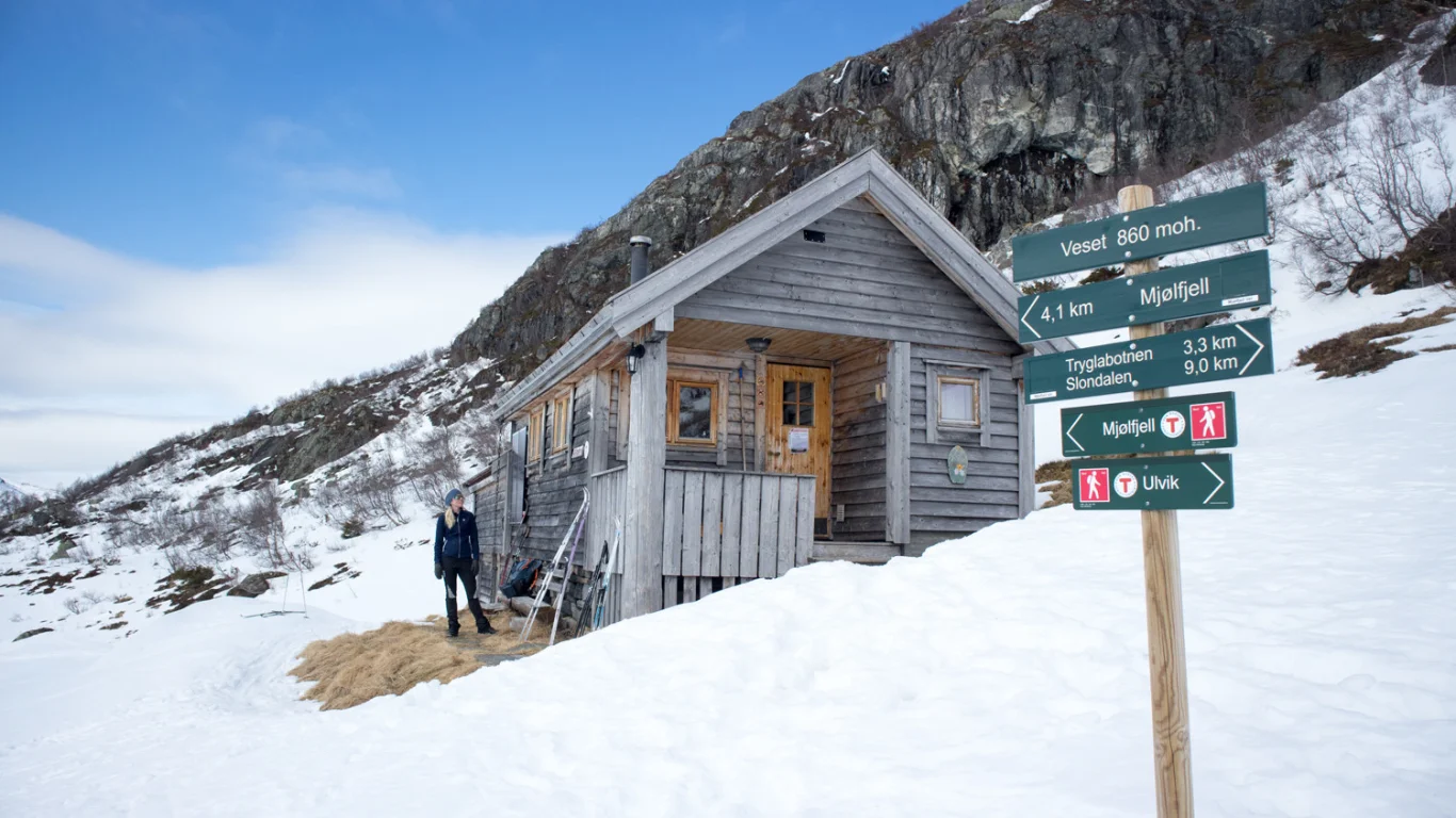
Ski trip to the BT hut (860 m above sea level) from Mjølfjell
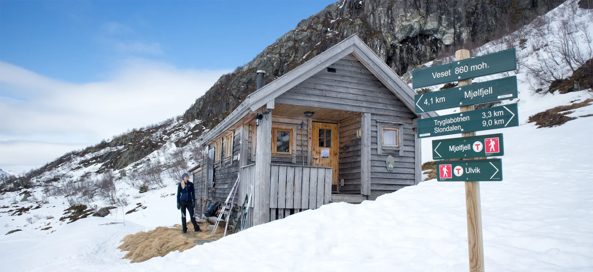
Skitur til BT-hytten (860 moh) fra Mjølfjell
Photo: Admin

The GPX track is for guidance only and may contain errors. Use at your own risk.
– always check maps, weather and conditions before your trip.

Access

From Bergen you drive to Voss. Just before Vossevangen you drive through the Vangstunnelen. From here you drive right past Vossavind. At the intersection you follow Hardangervegen straight ahead. When you see Rema 1000 on the left side you drive left at the sign 'Mjølfjell'. Drive Tjukkebygdvegen into Raundalen towards Mjølfjell. The road follows the same route as the Bergen Railway
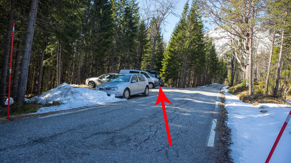
The road is narrow and winding so drive carefully. Drive all the way to Mjølfjell to the parking lot at Austmannaholen. This is located approx. 2 km before the train stop.
If you are unsure where to stop, just click 'Go to Google Maps' on the page.
From Vossevangen it is approx. 45 min drive. From Bergen it is approx. 2h and 8 min.

Parking

Park in the parking space. There are two spaces here that are reserved for guests at the BT cabin. Do not take these unless you have booked the cabin. If the parking space is full, you can park along the road, or drive back a bit where there are more spaces.

Description

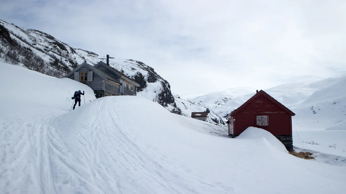
Strap on your skis at the parking lot if there is enough snow. As shown in the pictures, there was not enough snow for that this Easter (2021).

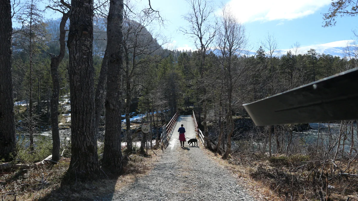
Go down the hill and over the bridge. Follow the road for about 100 meters and turn left onto the bog. Follow the power poles for about 300 meters to the end of the bog. If you are lucky, there are snowmobile tracks you can follow. At the end of the bog, a road zigzags through the forest up the slope. The road becomes clearer as you get higher.

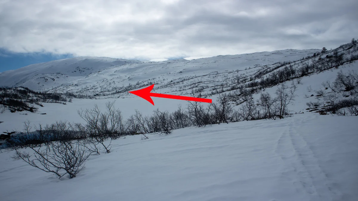
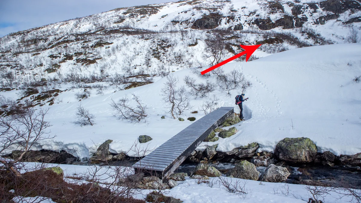
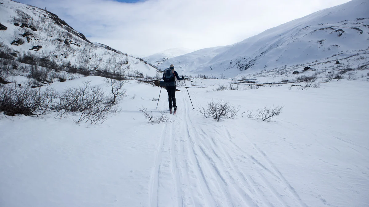
When you have reached the valley, the forest road ends and it flattens out. Follow the valley inwards on the right side of the river until you reach Rundavatnet. Walk on the right side of the water until you see a cabin. From here, continue straight ahead. After approx. 300 metres, cross over to the left and run down towards the river. There is a bridge here.

As you can see from the GPS track, we went too far to the right, so we followed the river back until we reached the bridge.

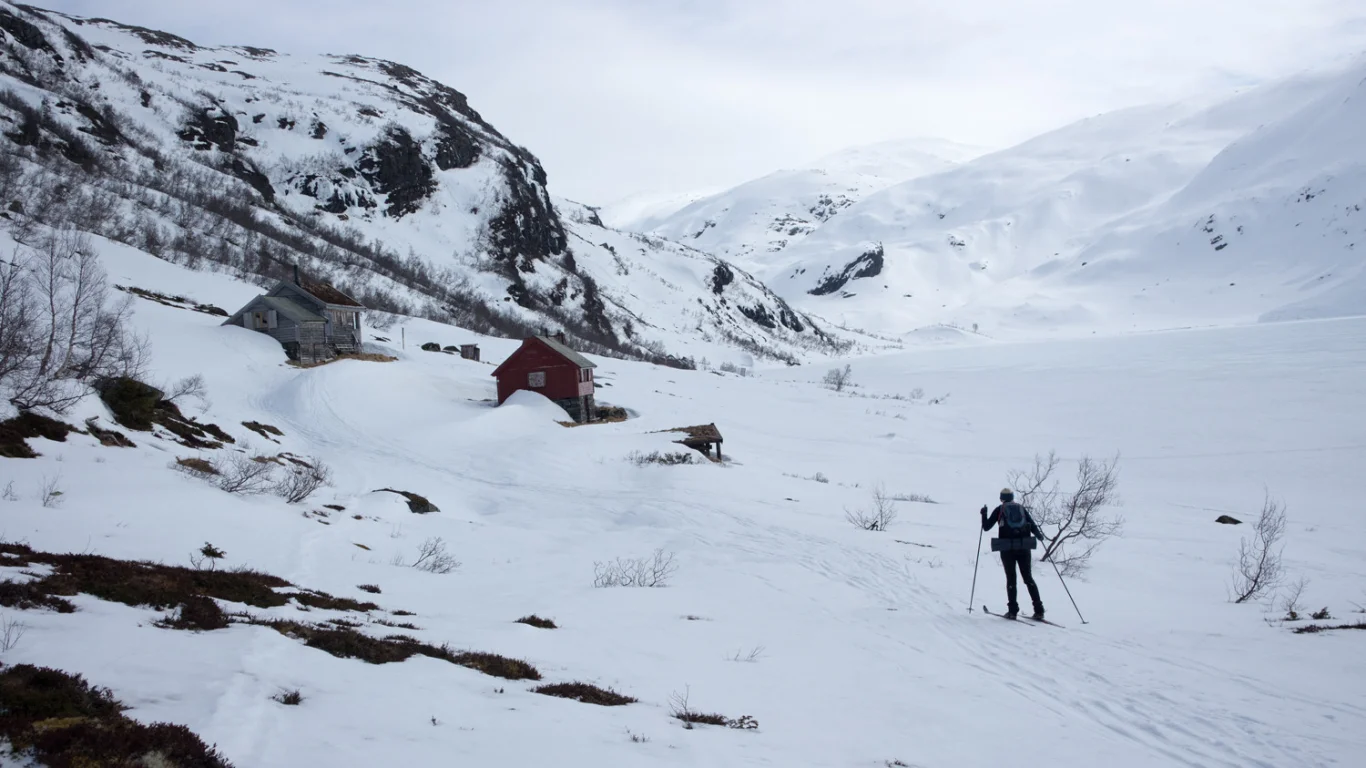
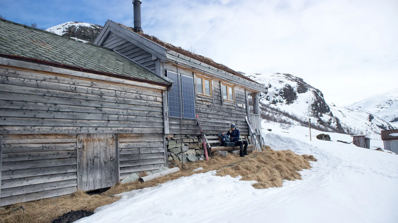
Cross the river and follow the marked path/ski track straight ahead until you see the cabin along the mountainside.

Return the same way. If you are going further into the mountains, we recommend staying overnight at the BT hut.

Have a good trip!

Information

BT hut (860 m. above sea level)
Length round trip: Approximately 13 km.
Time 4-6 hours round trip.
Season: Jan-April if there is snow.
Suitable for mountain skiing. You can go randonee but there are many long surfaces.
Grading: Medium

Processing elevation data.. .

You use GPX files that you download from our server 100% at your own risk.

Accommodation nearby

Hiking nearby