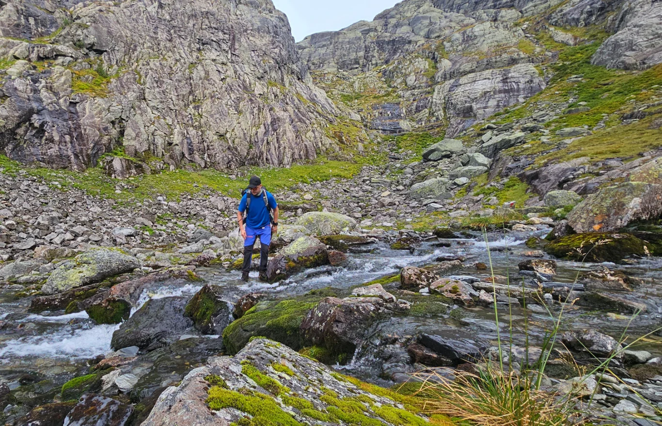
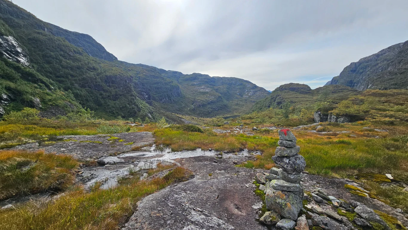
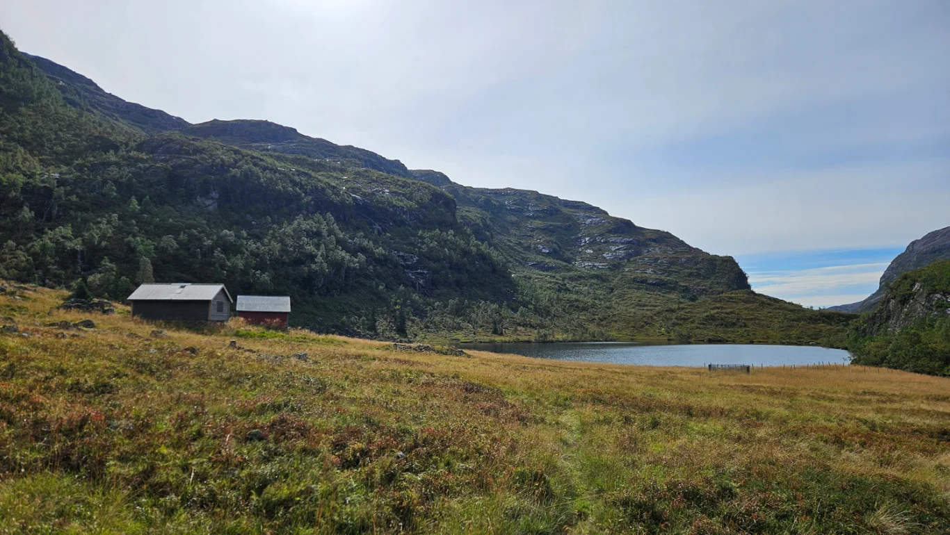
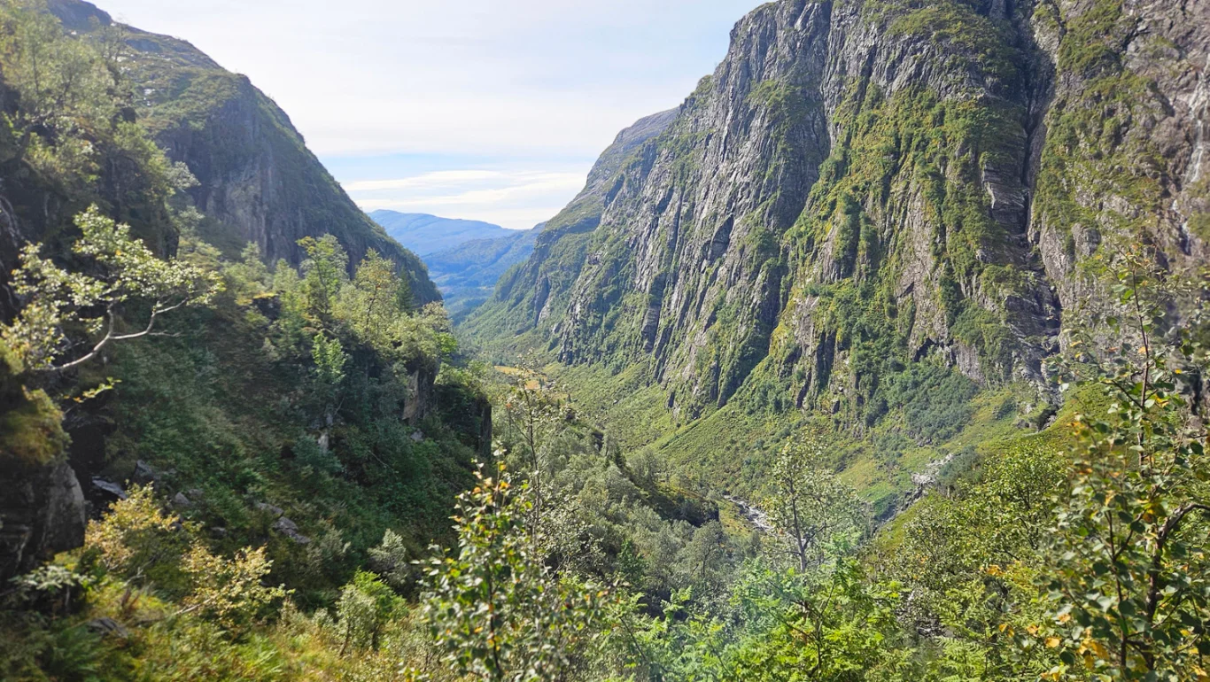
On a trip from Mjølfjell to Ulvik part 2 - Bt-hytten - Ulvik
The GPX Track is for guidance only and may contain errors. Use at your own risk.
– always check maps, weather and conditions before your trip.
Access
Parking
If you are driving to Mjølfjell: Park in the parking lot just before the suspension bridge by the river.
Description
Part 2 of the hike from Mjølfjell to Ulvik goes from the BT hut to Ulvik and is the longest leg. The route follows a T-marked trail in varied high mountain terrain before ending on the way down to the fjord.
From the BT-hyttan, follow the T-marked trail along Vesetvatnet in a southeasterly direction. A short Distance after the end of the water, the trail climbs steeply past Jeriken to a small water body; keep right to a signposted crossroads. Walk a few hundred metres through the valley depression further east to "Fallet". Here the trail turns south and winds steeply down towards Tyssedalen on an old farm road, partly paved. At the bottom, you cross the river, continue on the T-marked trail past a steep section with beautiful waterfalls and the saddles by Tyssedal, around the water body and further down the valley. The last part becomes flatter and more lush, with several paved sections, until you reach Søtnos where the trail turns into a road.
Follow the road to the intersection at the main road, turn left and walk approx. 6 km along the main road down to Ulvik. In Ulvik you can take a bus to Voss and from there a train.