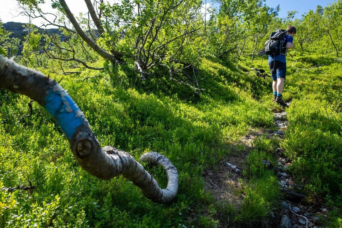
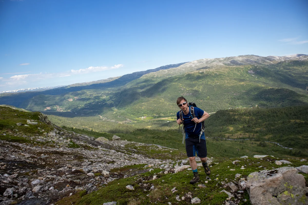
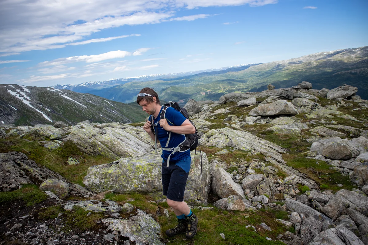
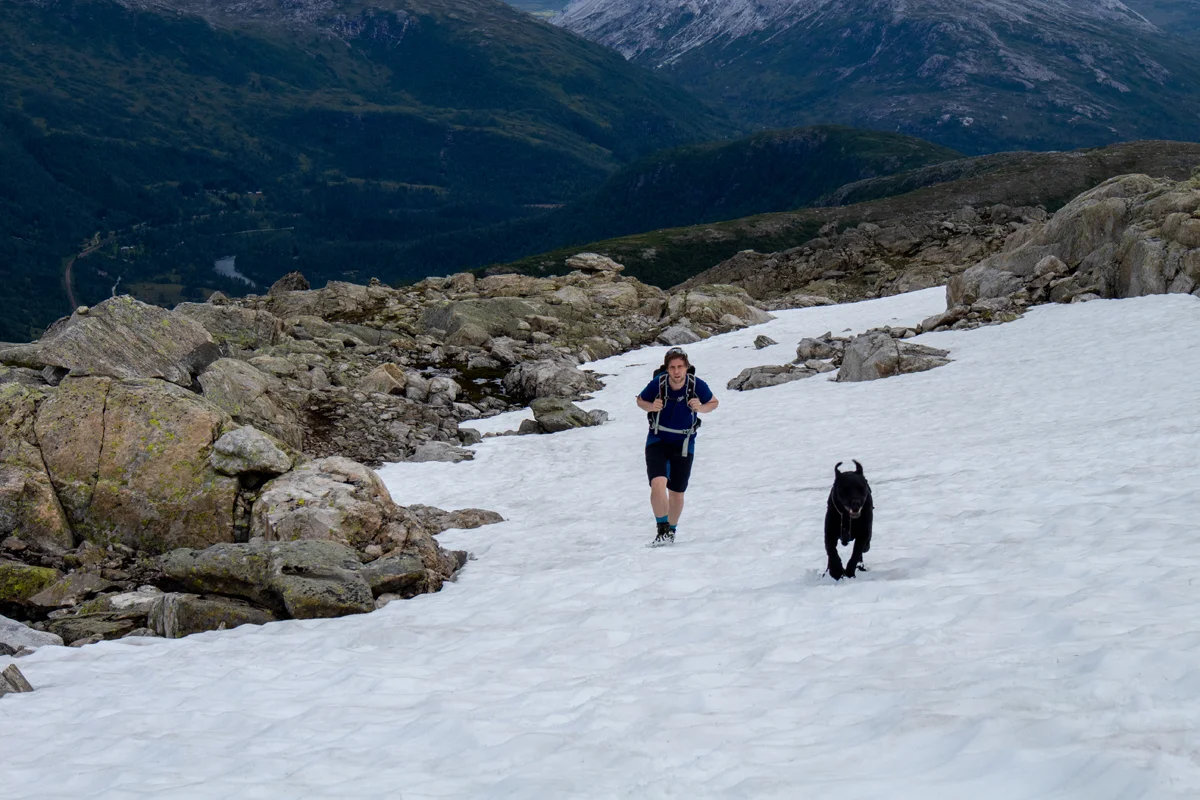
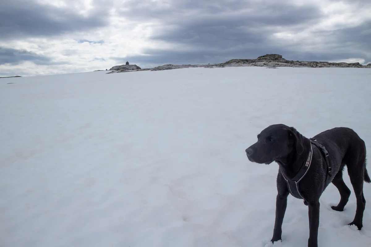
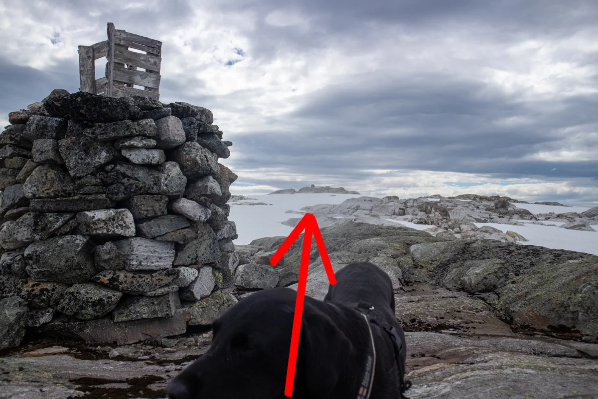
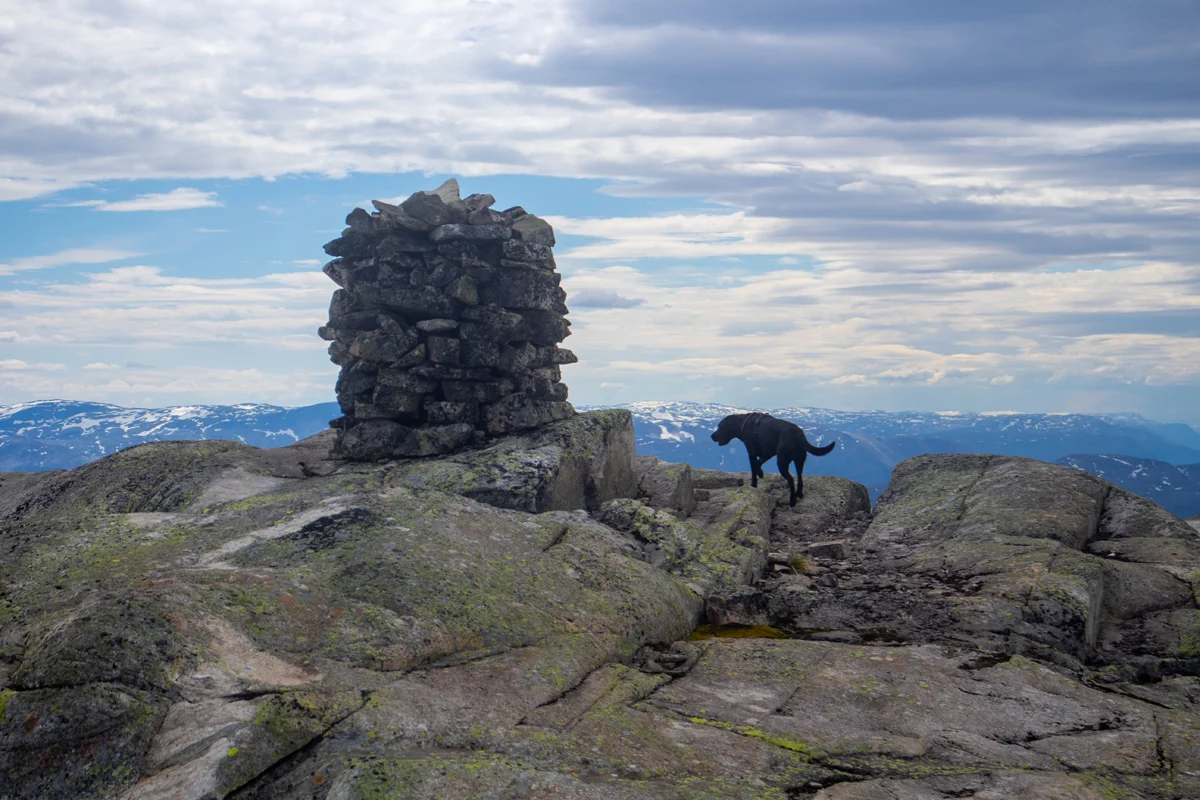
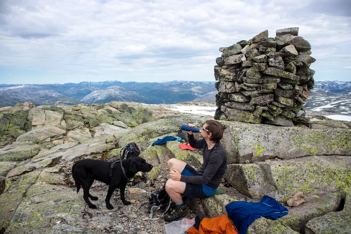
Olsskavlen (1576 m) from Raundalen in Voss
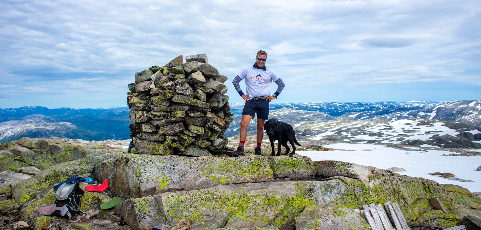
Photo: Admin


Processing elevation data.. .
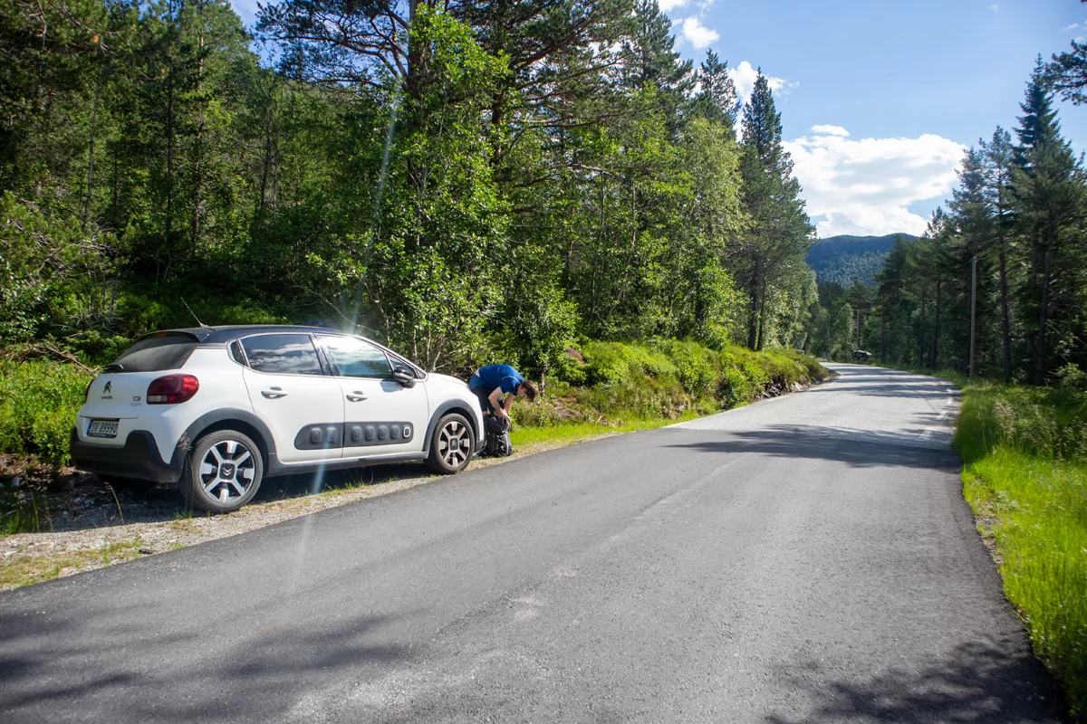
You use GPX files that you download from our server 100% at your own risk.
Accommodation nearby


Hot
Distance
19.21 Km

Hiking nearby

Distance
4.55 Km

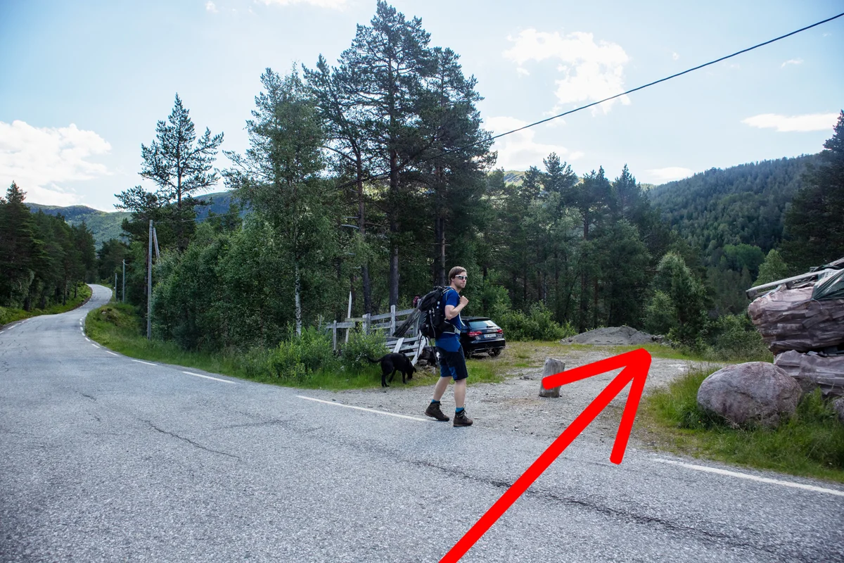
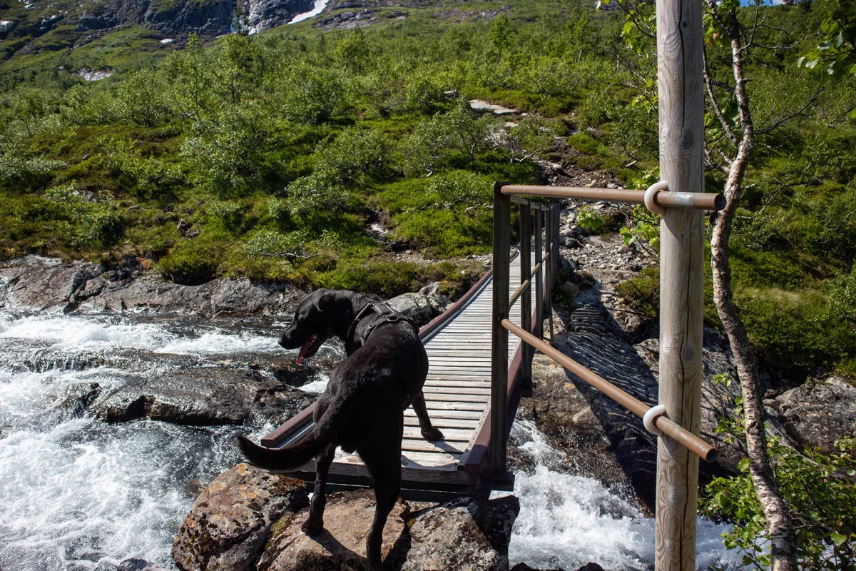
On a trip from Mjølfjell to Ulvik part 1 - Mjølfjell to the Bt-hytten - Ulvik, Voss, Vestland
Premium
Distance
4.9 Km

Distance
4.9 Km


Distance
8.3 Km


Distance
10.55 Km


