
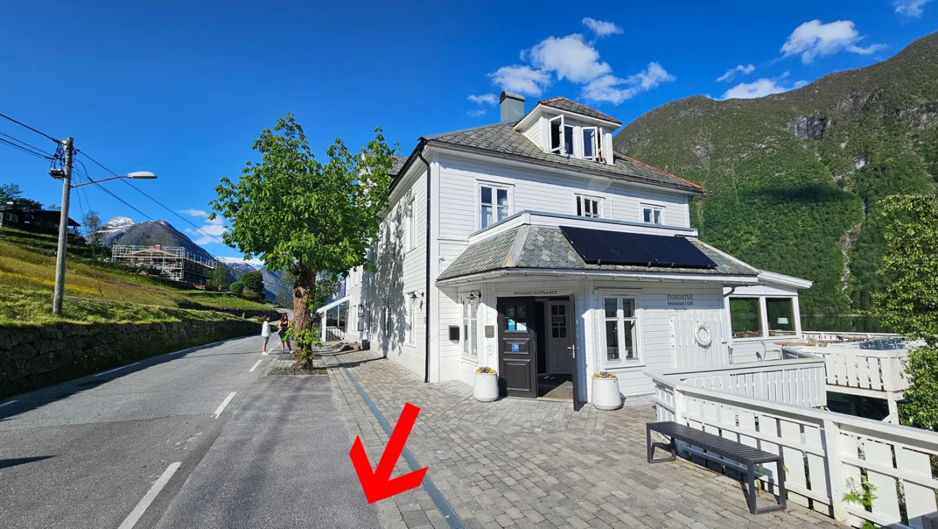
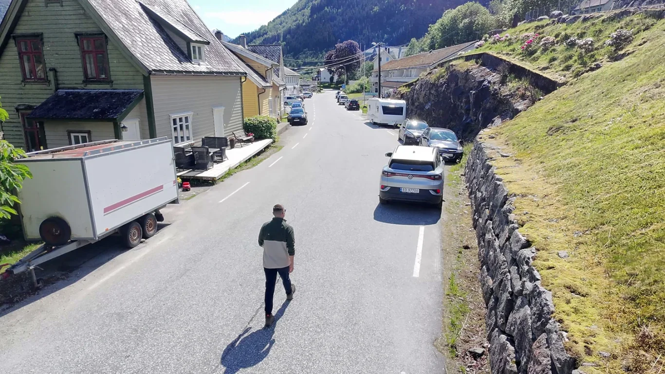
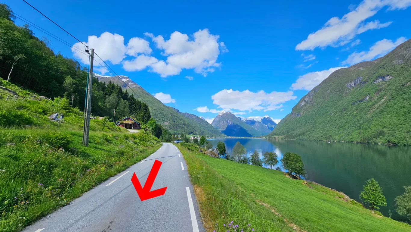
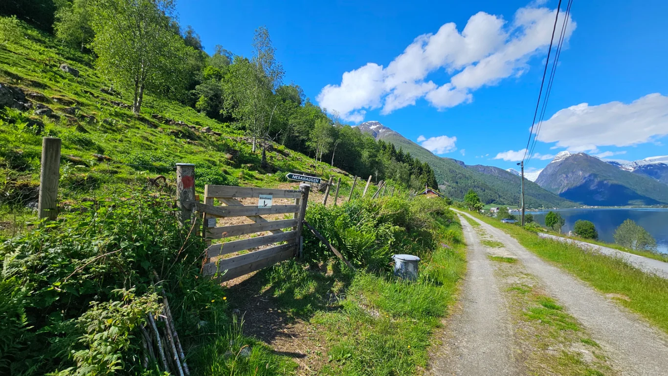
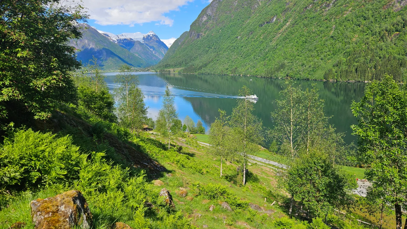
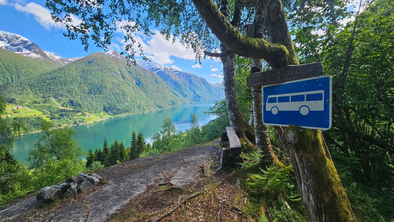
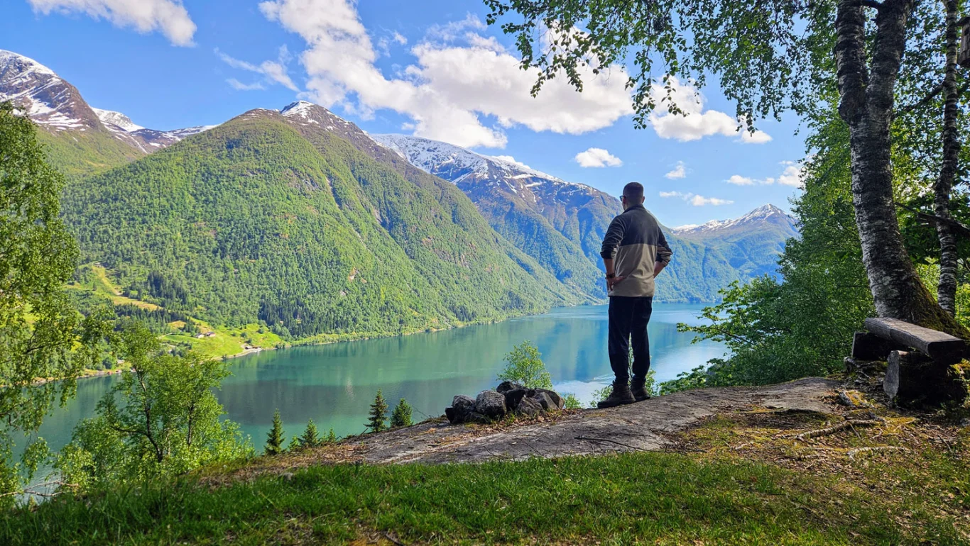
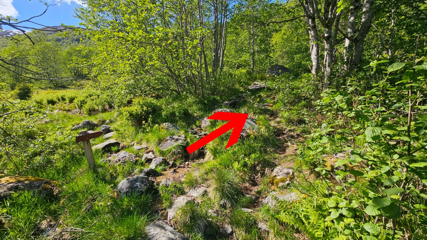
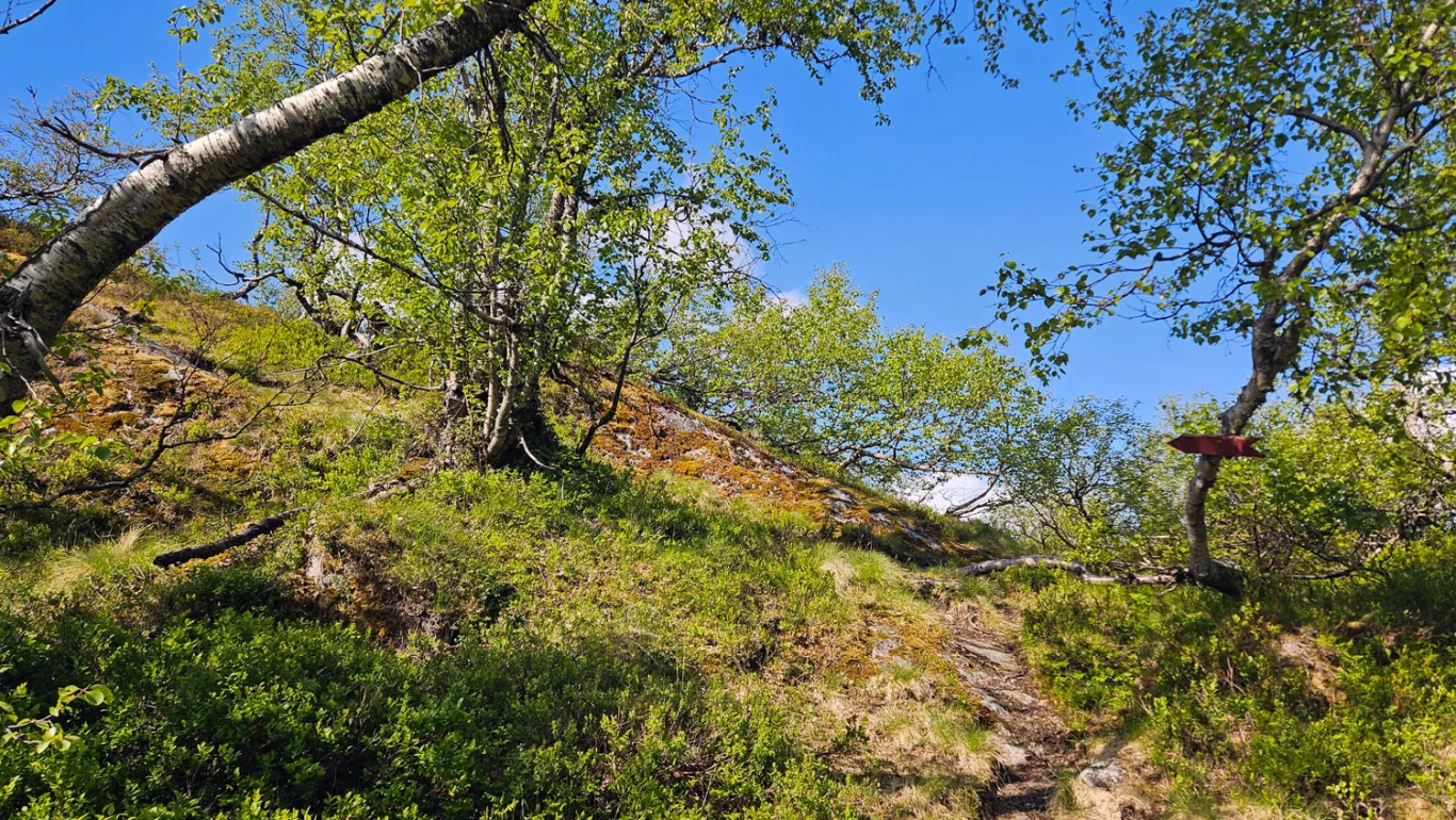
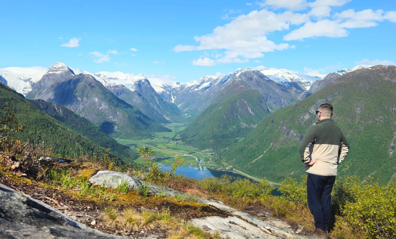
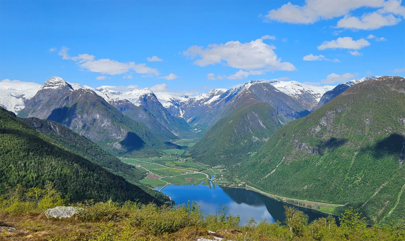
Mountain hike to Nesahaugen (665 m) in Fjærland

Fjelltur til Nesahaugen (665 moh) i Fjærland
Photo: Chris A.

The GPX Track is for guidance only and may contain errors. Use at your own risk.
– always check maps, weather and conditions before your trip.

Access

Approx. 4 hours (247 km) drive from Bergen including ferry time across the Sognefjord.

Parking

Free parking in Fjærland.

Description

The peak offers great views inland towards Fjærland, and you can also see Jostedalsbreen and some of the glacier arms.

We started the walk by walking from Fjærland. This involves about 2 km along the main road. If you want a shorter walk, you can drive this section and park at Homrane, where there are several parking spaces along the road. At Homrane there is a sign marked 'Nesahaugen'. Go through the gate - remember to close it as the area is pasture. Follow the path that winds up the pasture until you enter the forest. Here the path becomes clearer, marked with red stripes on the trees and some red-painted wooden arrows.

The path starts steeply through the forest and follows a clear path. First you come to Osloplass, a viewpoint with a nice view over the Fjærlandsfjord. Then the path continues upwards through the forest to Hamrastølen, an old seat at approx. 475 m above sea level. Pass the seat and continue to a crossroads; here you should follow the arrow pointing to the right. The path now goes straight up and gets somewhat steeper before it turns outward towards the fjord in an arc, before it again leads you up towards the mountain. Nesahaugen is located just above the tree line. First you pass a mailbox - go past this and continue up the hill behind it. This is where the viewpoint is located. From here you get a great view inland towards Fjærland, and you also see Jostedalsbreen and some of the glacier arms.

The return journey follows the same route.

Information

Length: Approximately 9 km round trip if you start in Fjærland.
Length: Approx. 5 km round trip if you skip the Distance along the main road and start at Homrane.
Time: Approximately 2-3 hours round trip.  
Elevation gain: 631 meters
Season: May - Nov
Grading: Medium

Processing elevation data.. .

You use GPX files that you download from our server 100% at your own risk.

Accommodation nearby

Hiking nearby