
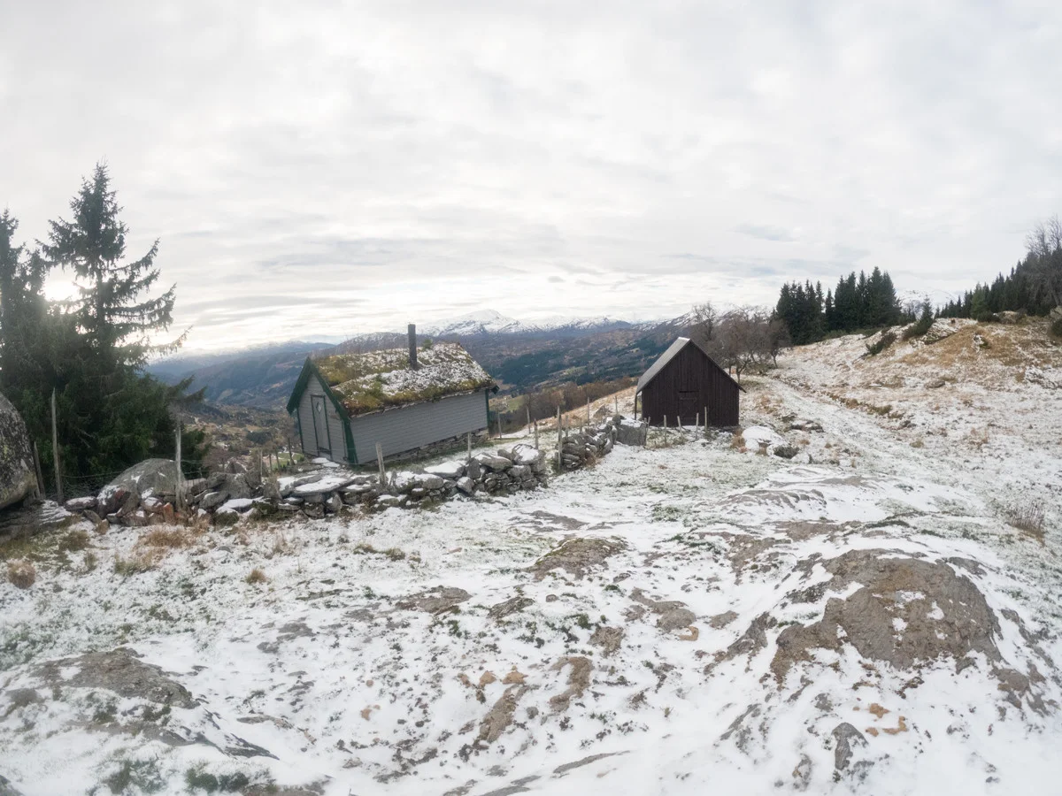
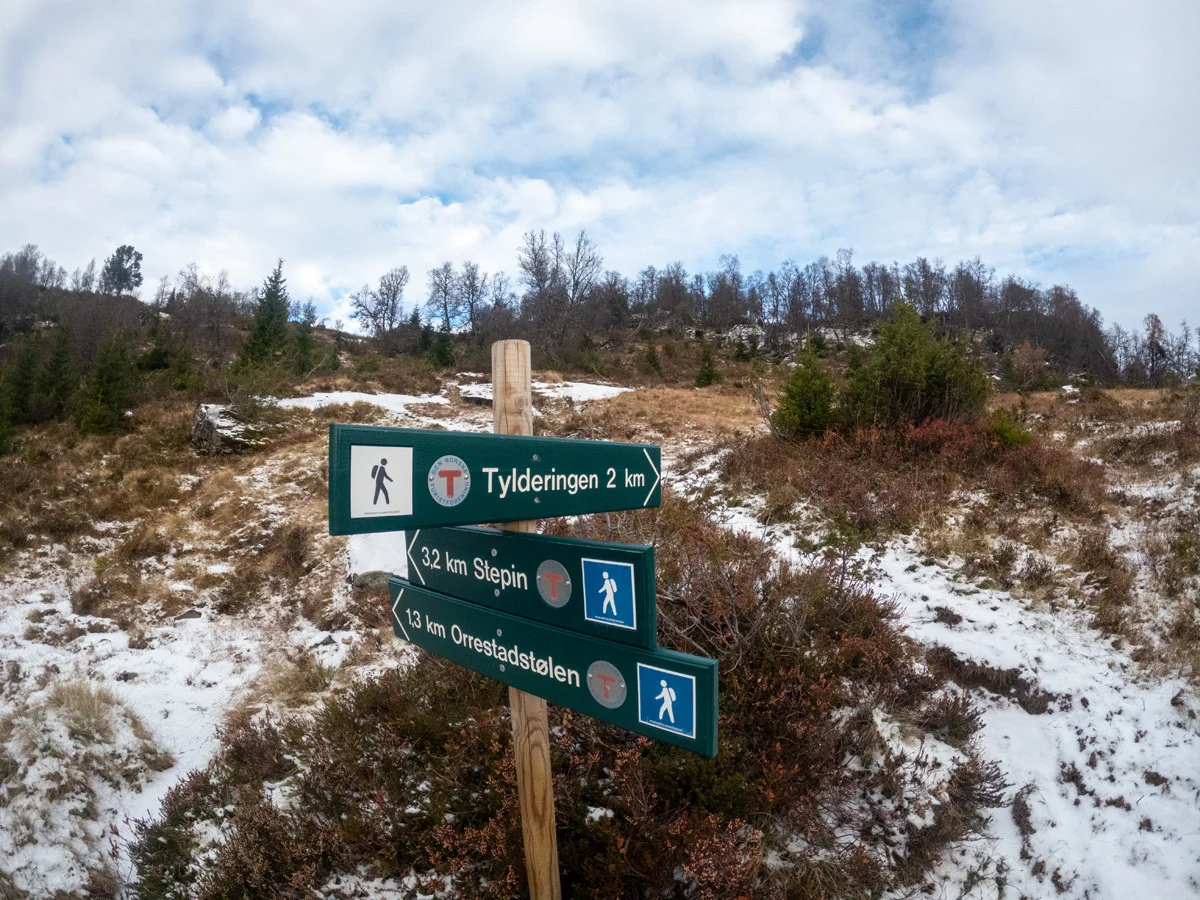
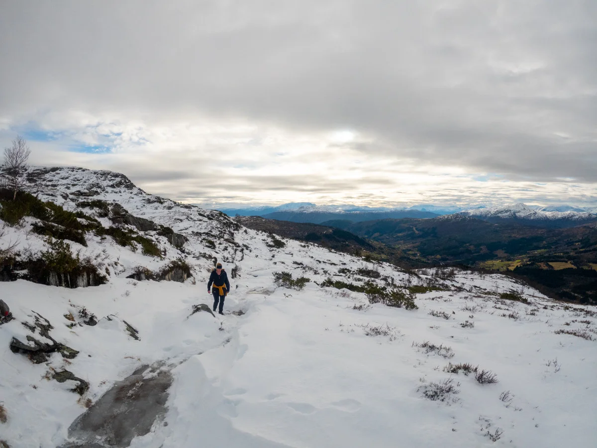
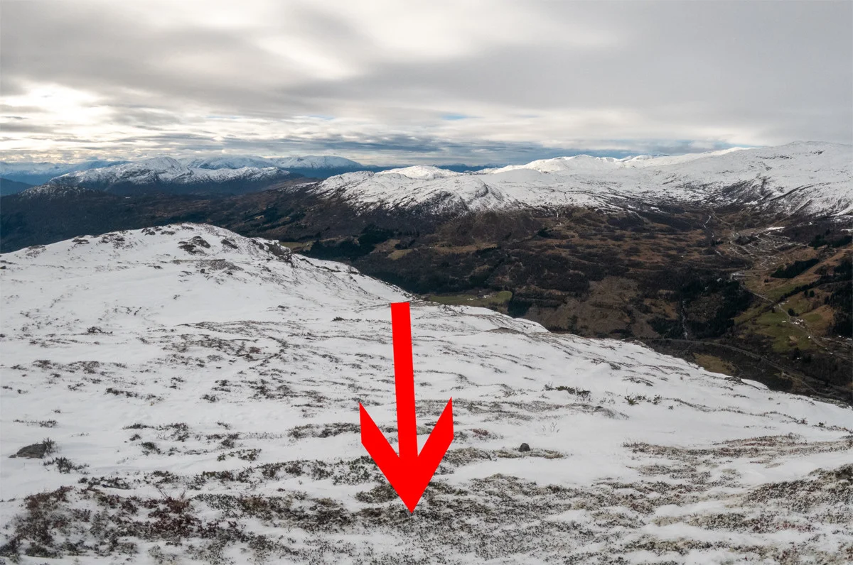
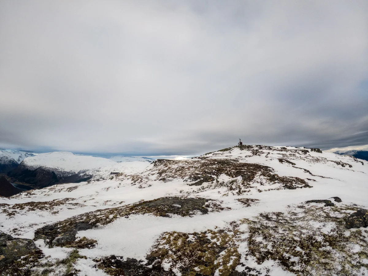
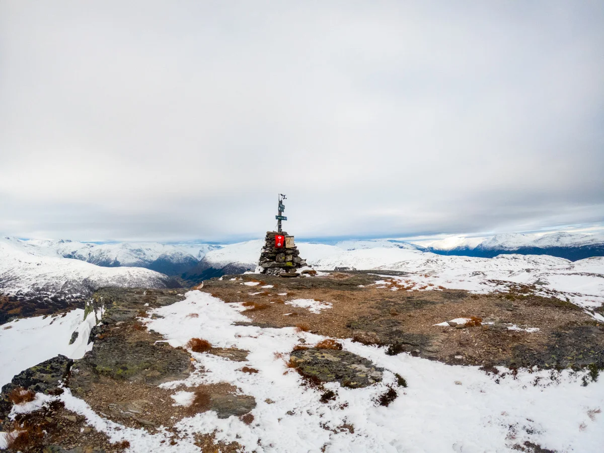
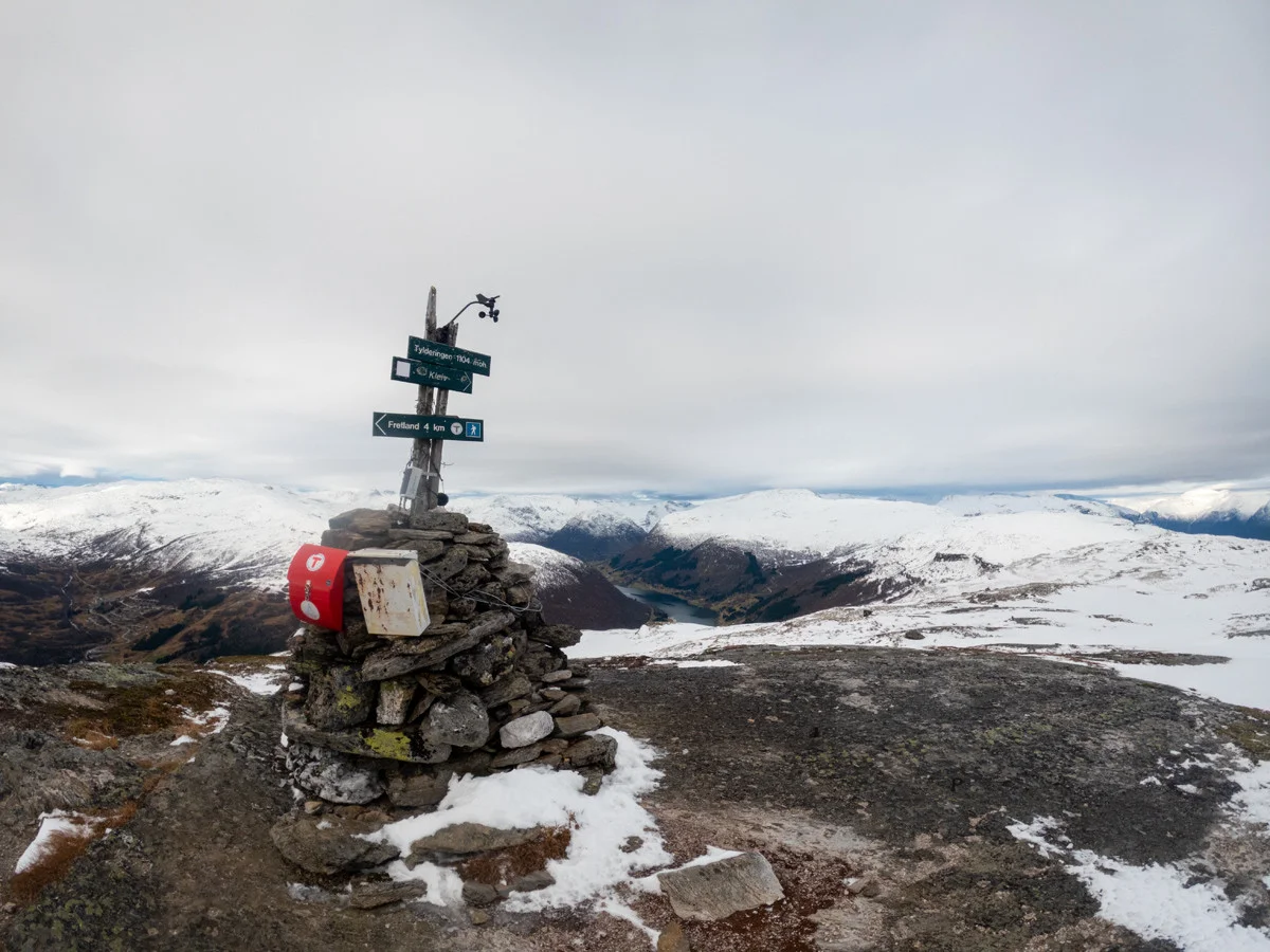
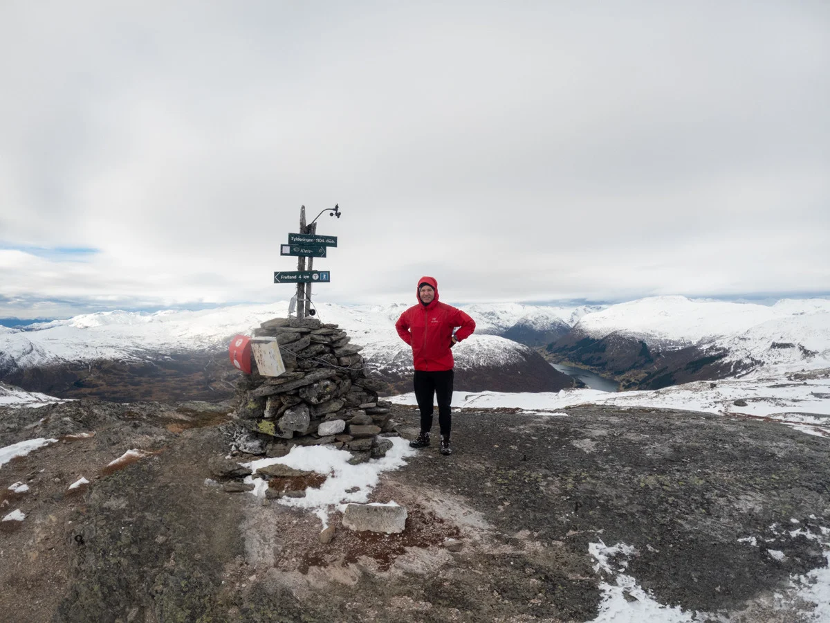
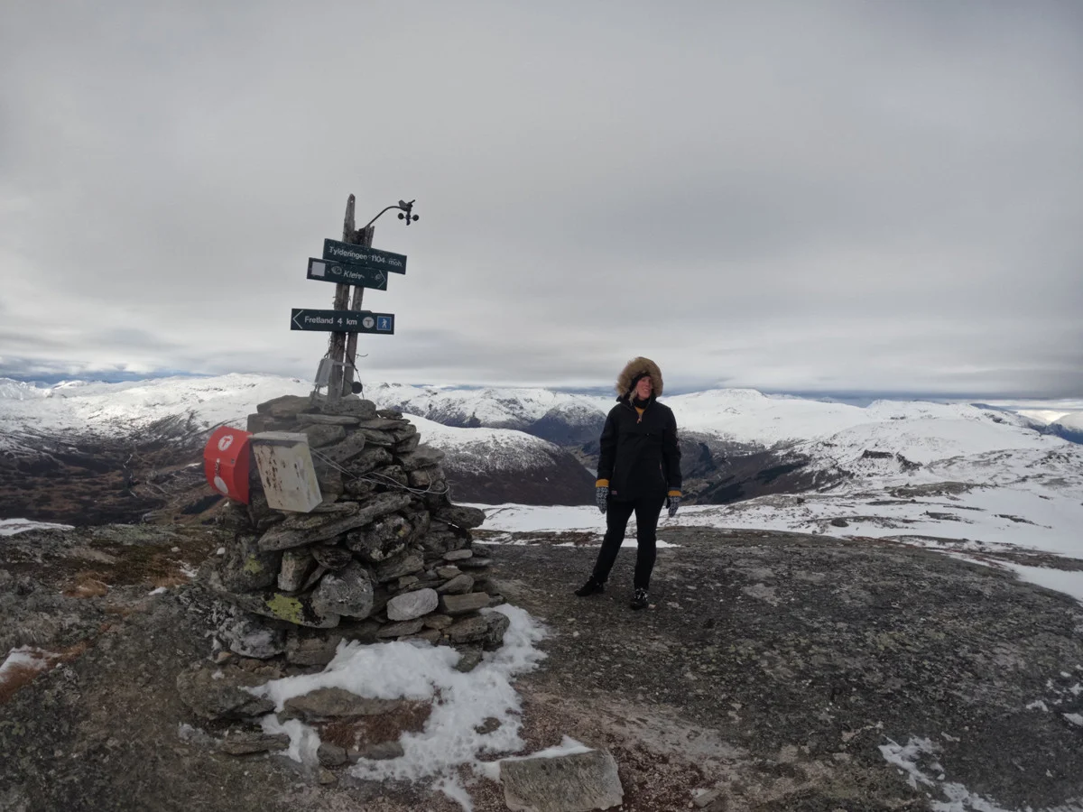
Mountain hike to Tylderingen (1104 m) in Sogndal
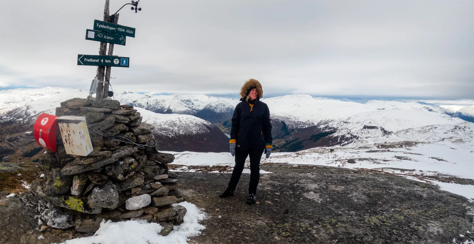
Fjelltur til Tylderingen (1104 moh) i Sogndal
Photo: Admin

The GPX Track is for guidance only and may contain errors. Use at your own risk.
– always check maps, weather and conditions before your trip.

Access

Approximately 4 hours 18 minutes (229 km) drive from Bergen.

Parking

Parking at Fretland.  

Description

The hike starts on a gravel road and then goes up a forest road. You have to go through many gates. Remember to close them because of the sheep. Up at the barn, the road turns into a path. There is a sign when there are 2 km. left. The path to the top is good and there are red marks on the rocks that show the way.  

At the top is a nice cairn. There are views of Sogndal in all directions.

Information

Length: Approximately 8 km round trip
Time: Approximately 3 hours round trip
Elevation gain: 600 meters
Season: May - Oct.
Grading: Medium

Processing elevation data.. .

You use GPX files that you download from our server 100% at your own risk.

Accommodation nearby

Hiking nearby