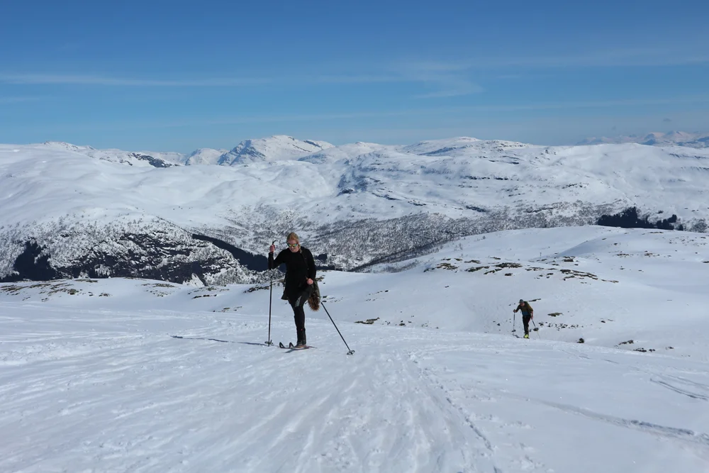
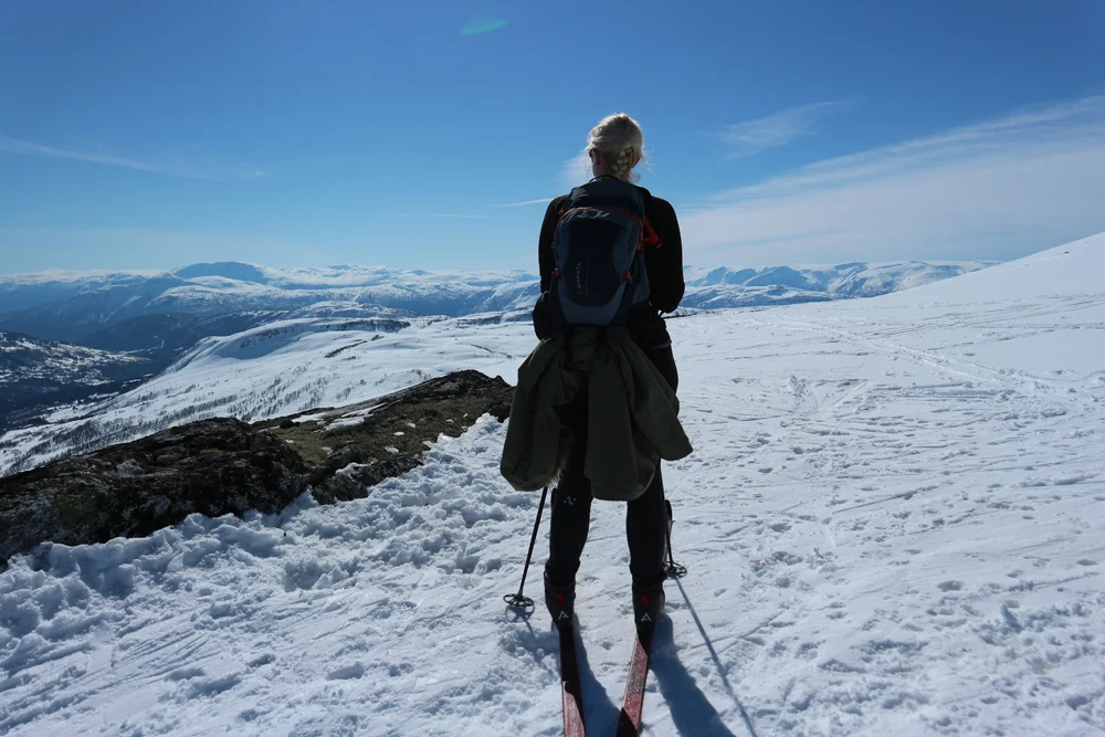
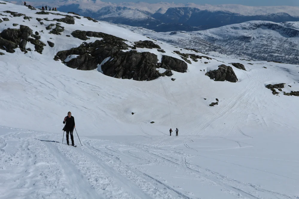
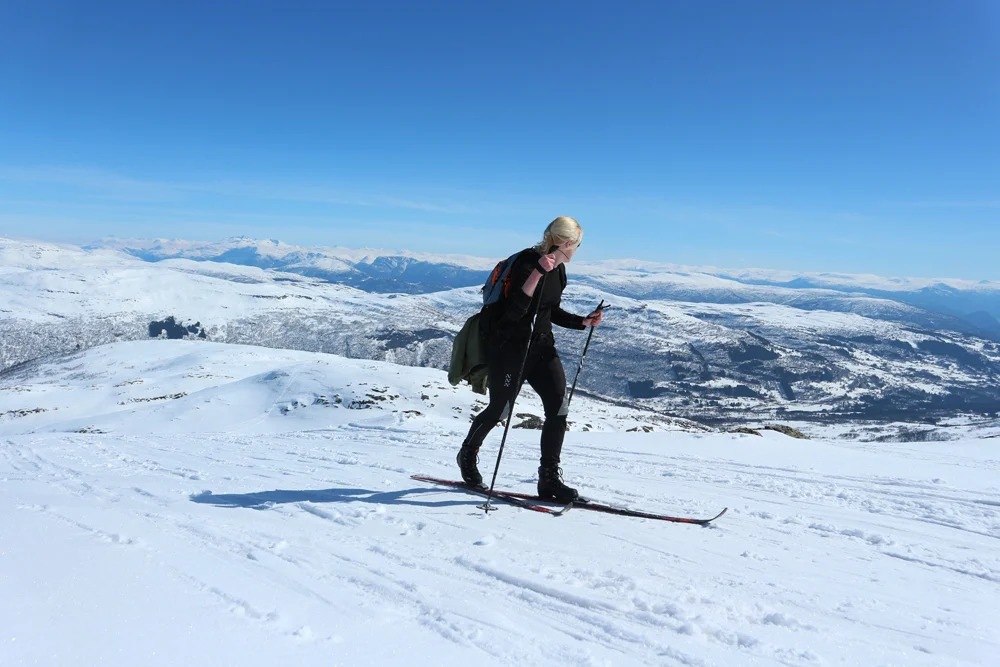
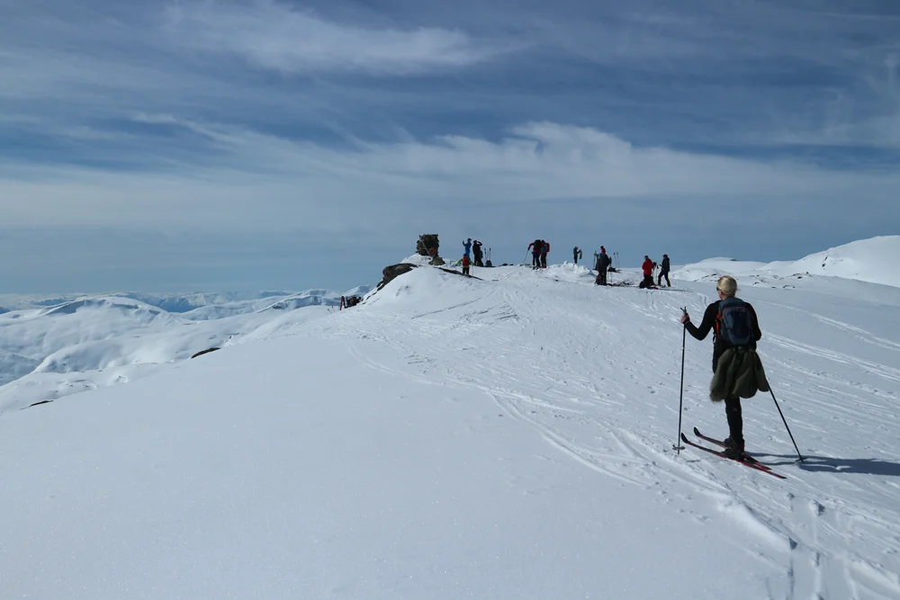
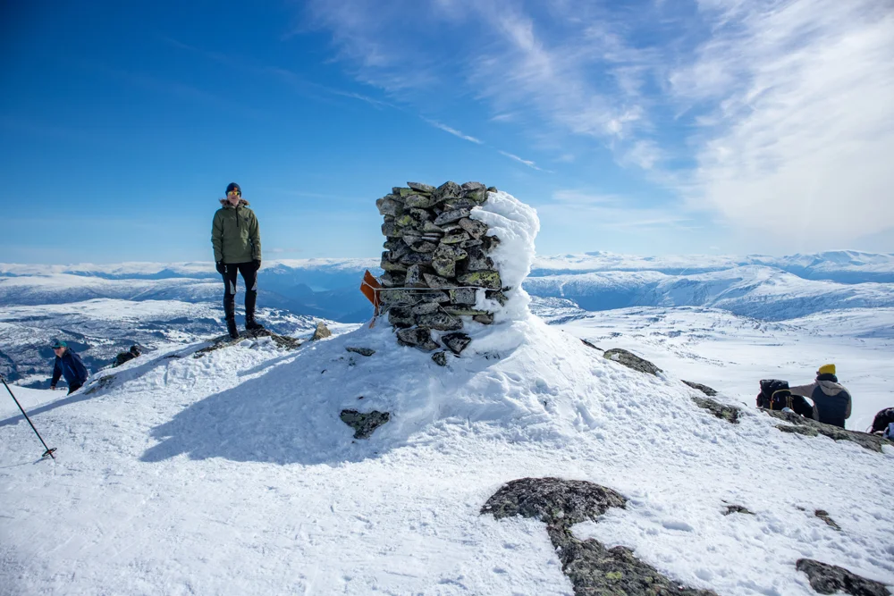
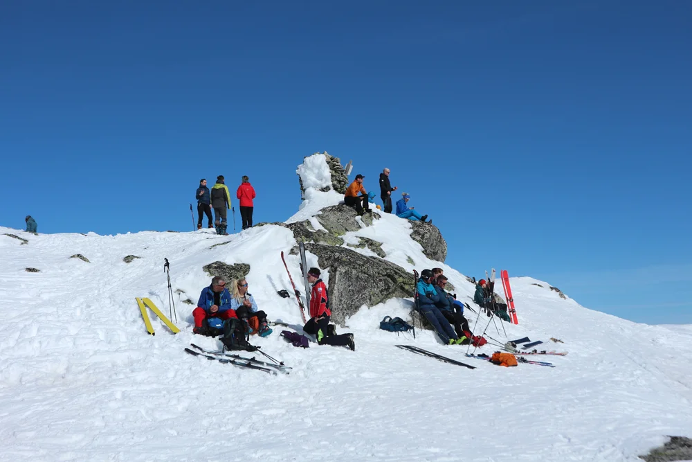
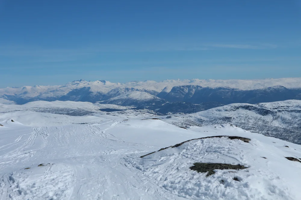
Ski trip to Blåfjellet (1397 m) from Hodlekve
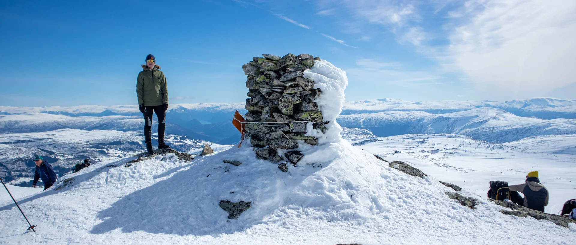
Photo: Admin
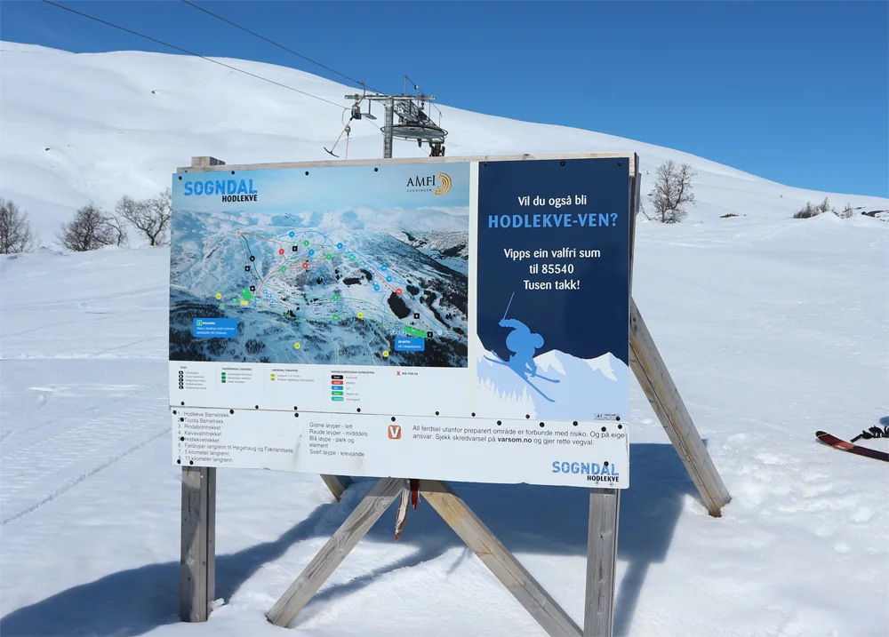
Information
Kamba Mountain (1220 m)
Blue Mountain (1397 m).
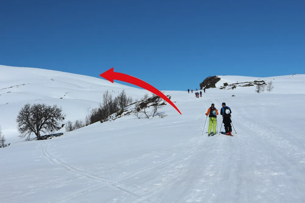
Length: Round trip from the top of the trek is approximately 11 km.
Length: Round trip approximately 9 km.
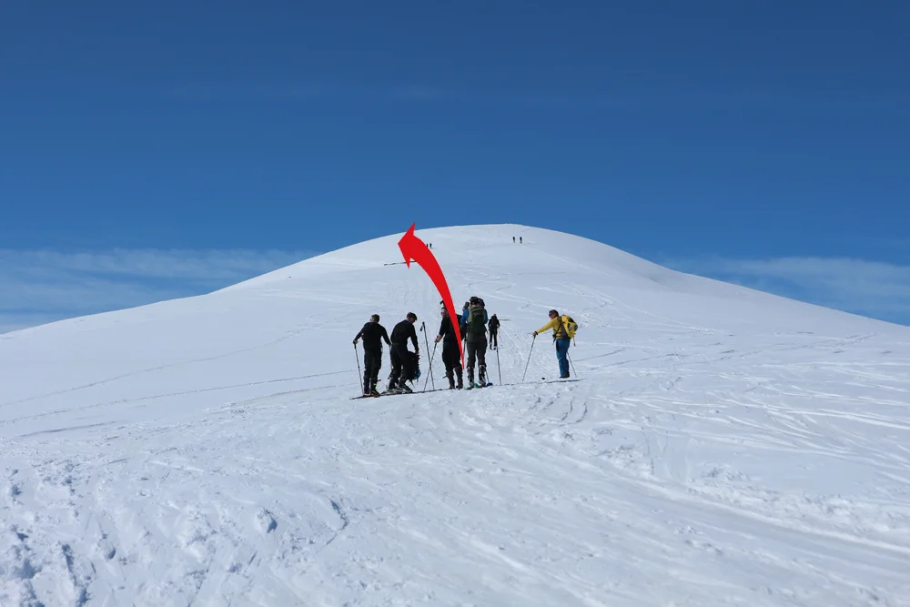
Time: Approximately 3 hours round trip or return trip.
Suitable for mountain skiing and randonee.
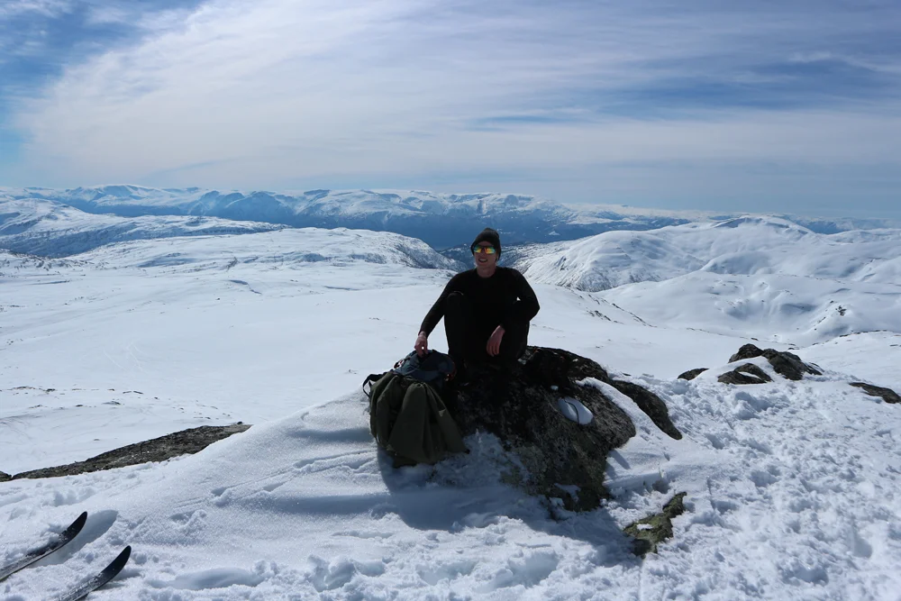
Blue Mountain (1397 m).
Length: Round trip from the top of the trek is approximately 11 km.
Length: Round trip approximately 9 km.
Time: Approximately 3 hours round trip or return trip.
Suitable for mountain skiing and randonee.

Processing elevation data.. .
You use GPX files that you download from our server 100% at your own risk.
Accommodation nearby


Hiking nearby

Distance
3.14 Km


Distance
14.09 Km


Distance
20.65 Km

