
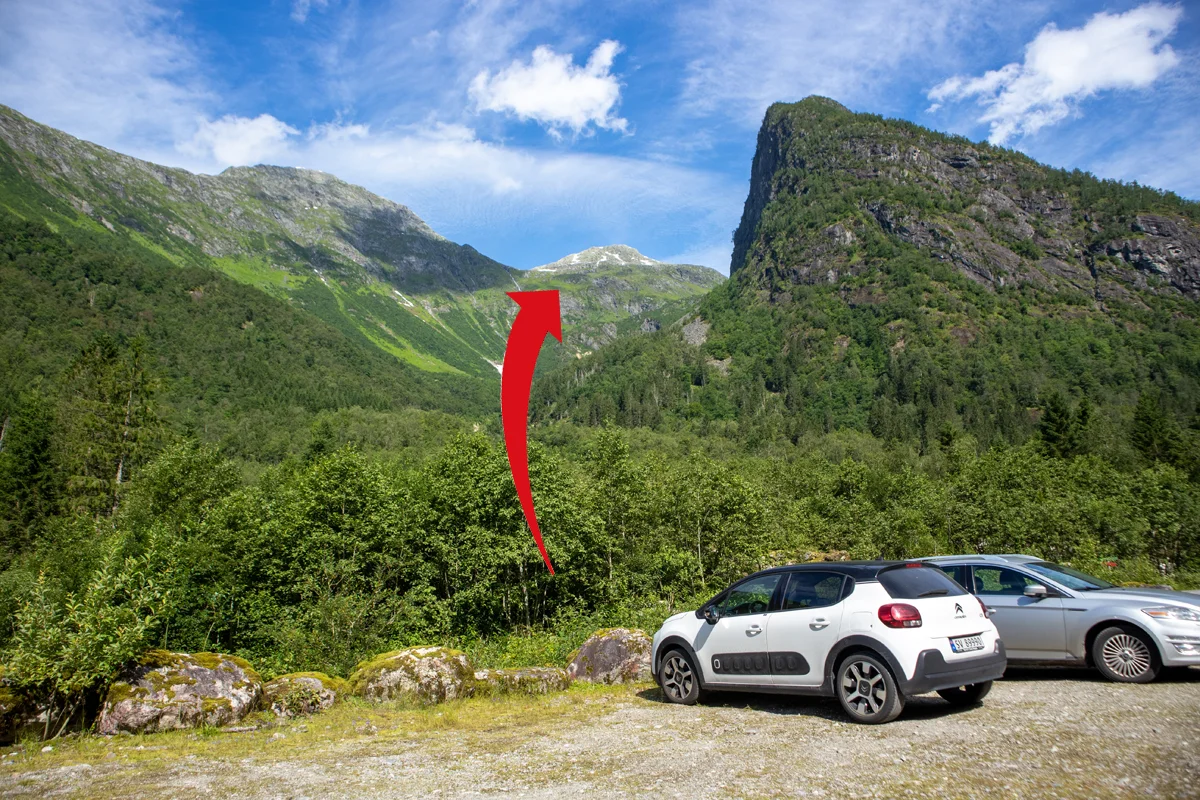
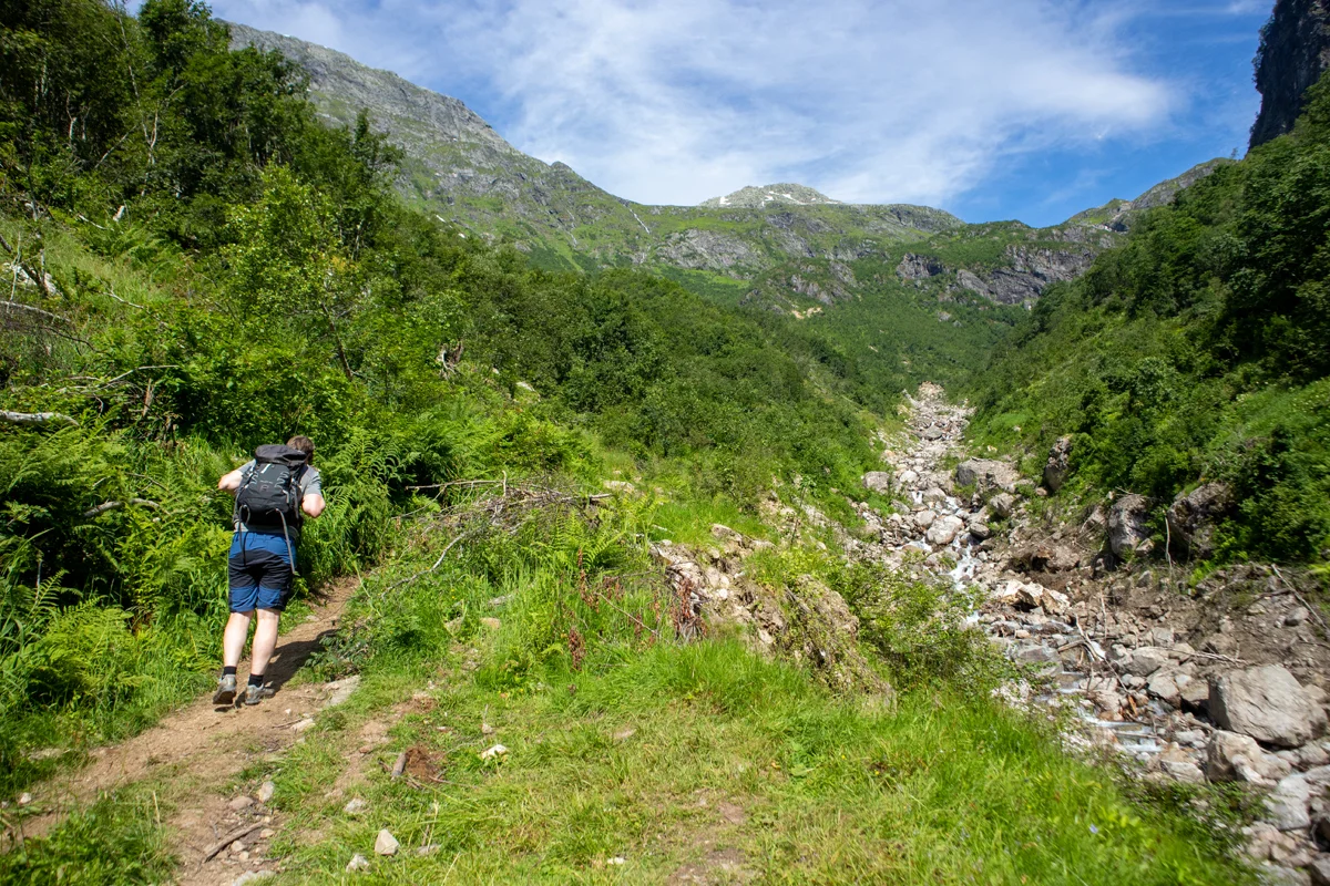
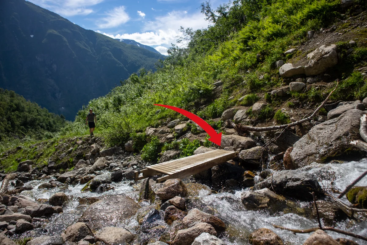
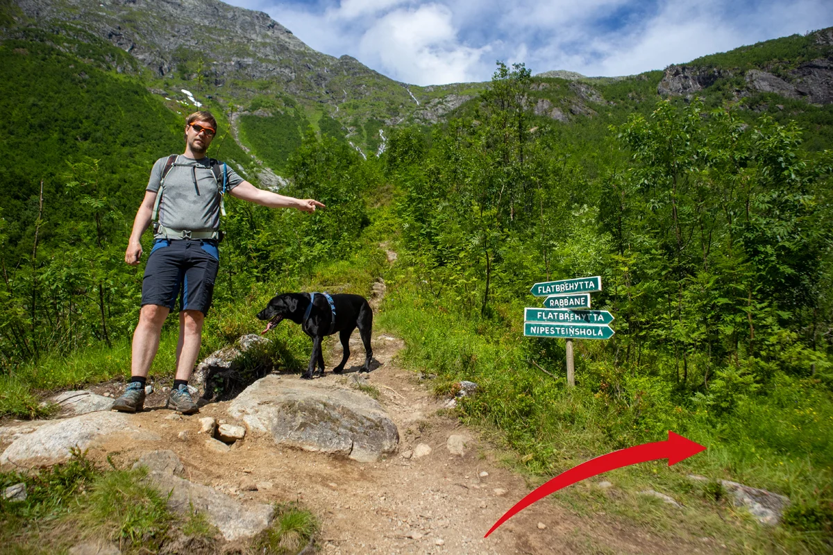
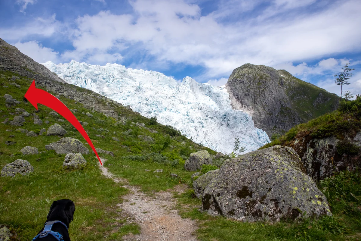
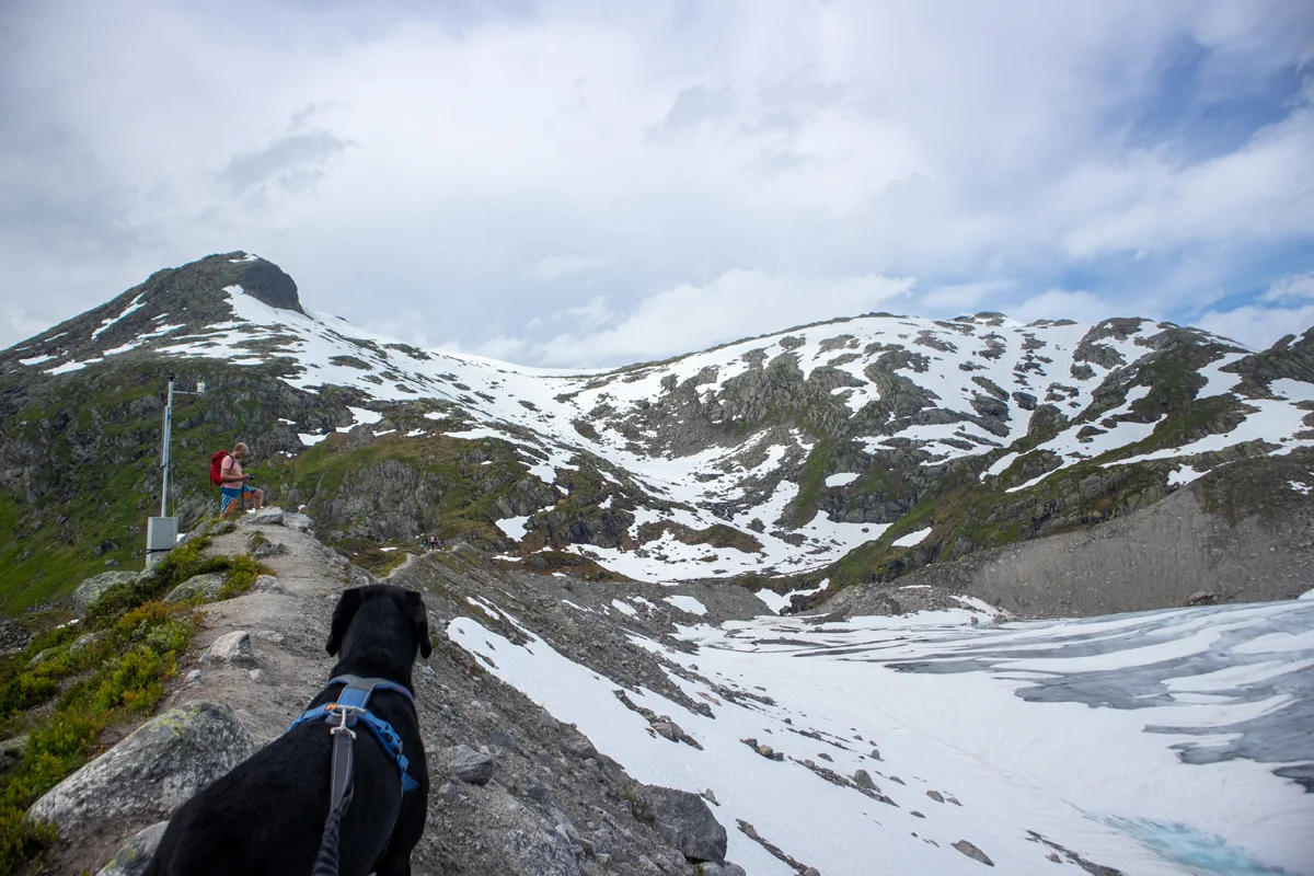
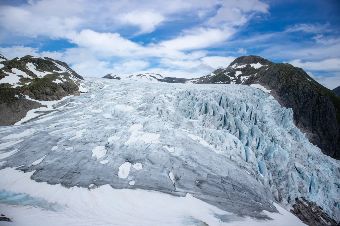
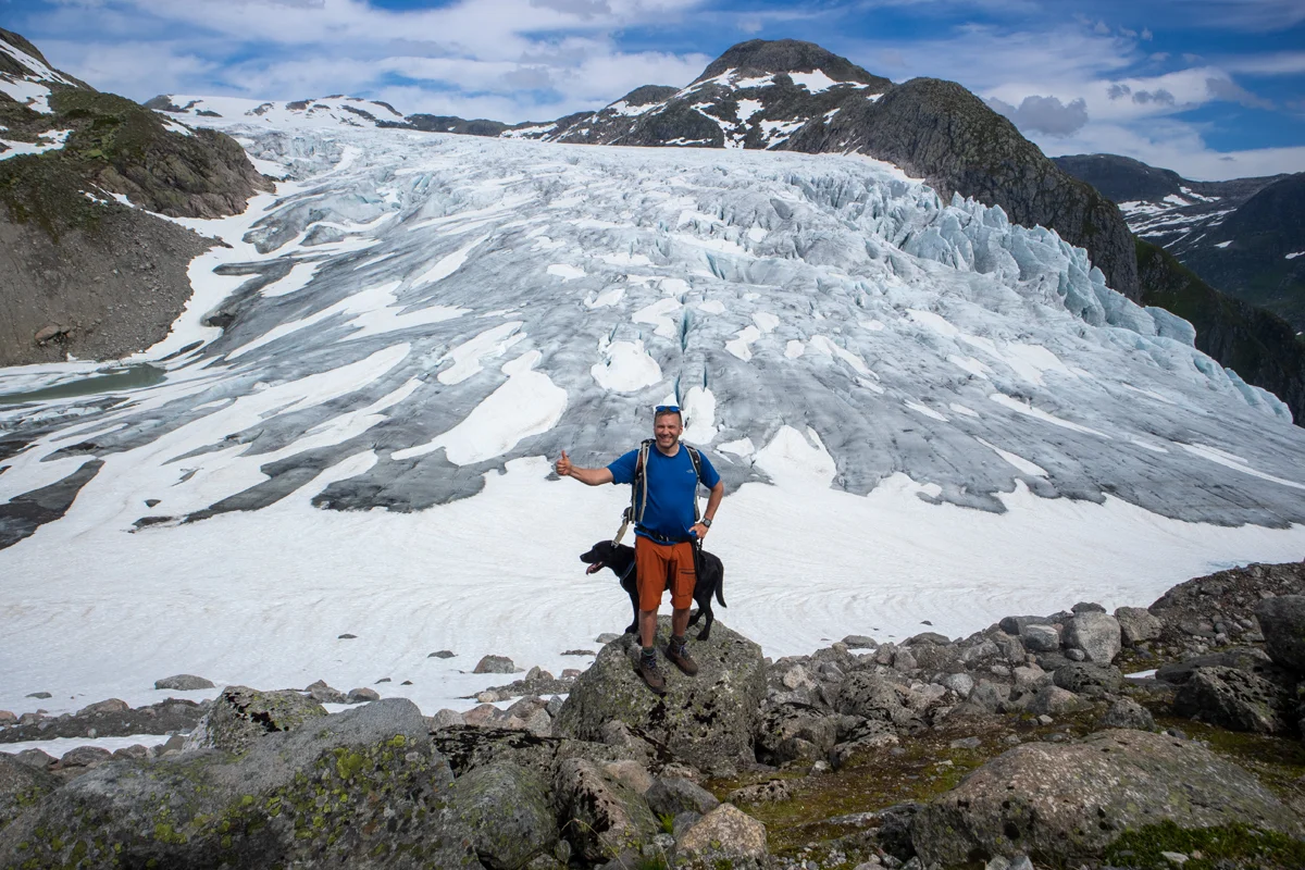
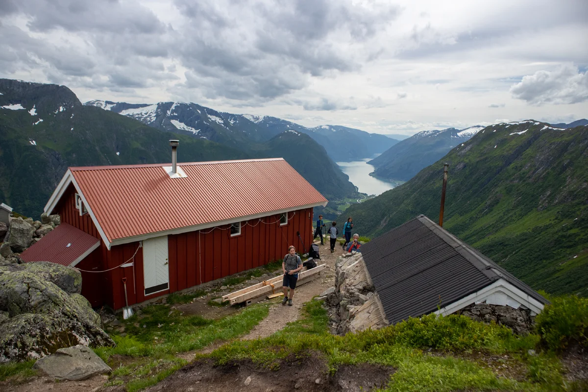
Mountain hike to Flatbreen and Flatbrehytta (994 m) in Fjærland
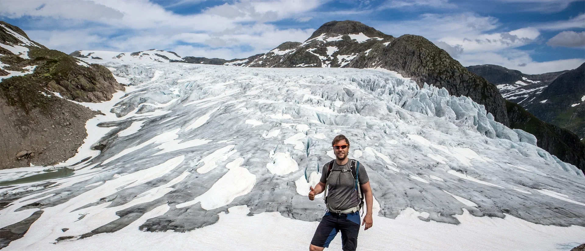
Fjelltur til Flatbreen og Flatbrehytta (994 moh) i Fjærland
Photo: Admin

The GPX Track is for guidance only and may contain errors. Use at your own risk.
– always check maps, weather and conditions before your trip.

Access

Approximately 4 hours 18 minutes (247 km) drive from Bergen.

Parking

Large parking lot. NOK 80,- for parking per day.

Description

This is an exciting mountain hike. From the parking lot, cross the road and follow the trail sign 'Flatbrehytta'. Follow the trail that immediately turns into a forest road. This road winds uphill with a steady incline before turning back into a trail. Now follow the trail uphill on the left side of the Tverrdøla River. Further up you have to cross a bridge to cross the river. Be careful if there is a lot of water. Follow the trail on the other side to the crossroads.

The most used 'regular' path up to the glacier and the hut is to the left, but for the ultimate experience we recommend going to the right.  

Følg stien til høyre ned mot elven. Det kan være vanskelig å krysse elven da det ligger mye kvister og greiner her. Om det er mye vann anbefales det  å gå den 'vanlige' stien opp til hytten. På andre siden av elven litt lengre nede begynner stien på nytt. Du ser et rødt malingsmerke. Følg stien på høyre side av eleven opp dalen. Det er jevn stigning med noen bratte partier. Når du kommer opp på halsen (ca. 700 moh) følger du sti nordover. Om du vil kan du ta en rask avstikker opp på Vetla Supphellenipa.

Follow the path up towards Brefallet. When you get over the edge you can see the gigantic glacier arm extending downwards. Follow the path on the left side of the glacier arm up towards Flatbredalen. When you come to the crossroads we recommend taking the path to the right which leads up to the ridge in front of the glacier. Walk along the entire ridge parallel to the glacier arm. This is an incredible experience. Can be a bit scary if you are afraid of heights. At the end of the ridge you go down to the left and follow the path to Flatbrehytta. Here you have a perfect view down towards Fjærlandsfjorden.

Take the path that leads down to the right side of the cabin. You will then come down to the crossroads where we previously turned right.

Have a good trip!

Information

Length: Approximately 8.6 km round trip.
Time: About 4-5 hours total.
Elevation gain: Approximately 1187 meters.
Season: Summer and autumn.
NB: Do not go out onto the glacier.
Grading: Demanding

Processing elevation data.. .

You use GPX files that you download from our server 100% at your own risk.

Accommodation nearby

Hiking nearby