Middagshaugen (1030 m above sea level) in Fjærland
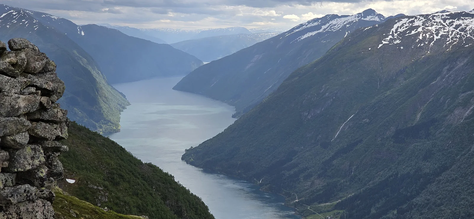
Photo: Johan Solberg
Middagshaugen (1030.4 m) - Mountain peak in Sogndal, Vestland From Fjærland, drive towards Horpedalen and park just past the last farm. Cross the bridge and follow the path to Endrestølen. From here, the route towards Middagshaugen (1030 m above sea level) is unclear and very steep/rocky. Demanding in summer weather. Along the way, the view opens up towards Fjærland and the glaciers; at the top you can see towards Jostedalsbreen. The hike is suitable for experienced hikers; allow approx. 3–5 hours round trip.

Processing elevation data.. .
Accommodation nearby


Hiking nearby


Hot
Distance
7.36 Km

Distance
14.06 Km


Distance
16.99 Km


Hot
Distance
21.92 Km
