Mountain hike to Molden (1116 m) from Marifjøra
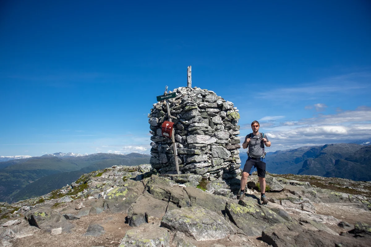
Photo: Admin
Information
Length: Approximately 12.5 km round trip
Time: Approximately 5 hours round trip
Elevation gain: 1158 meters
Season: June - October
Time: Approximately 5 hours round trip
Elevation gain: 1158 meters
Season: June - October

Processing elevation data.. .
You use GPX files that you download from our server 100% at your own risk.
Accommodation nearby


Hiking nearby


