
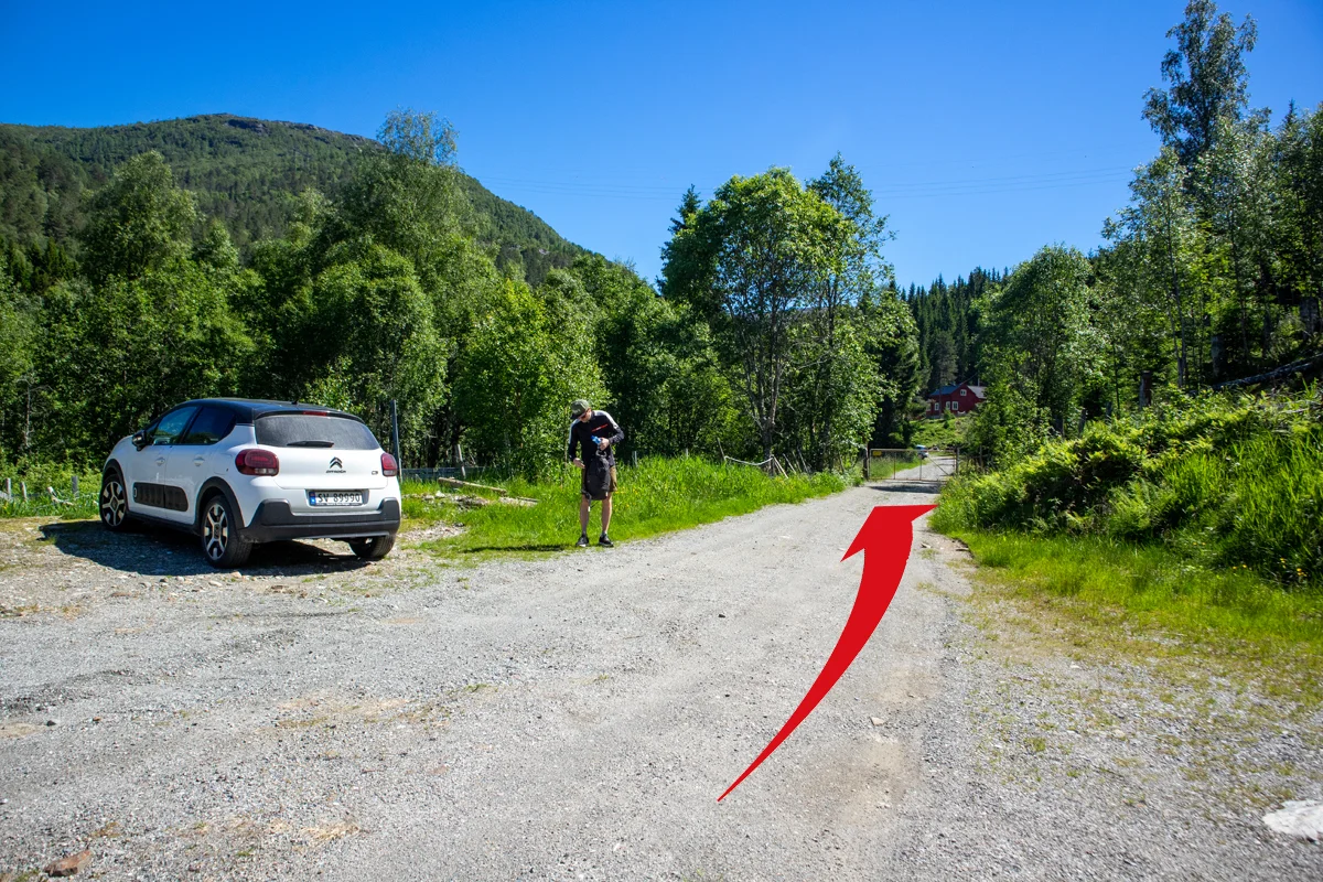
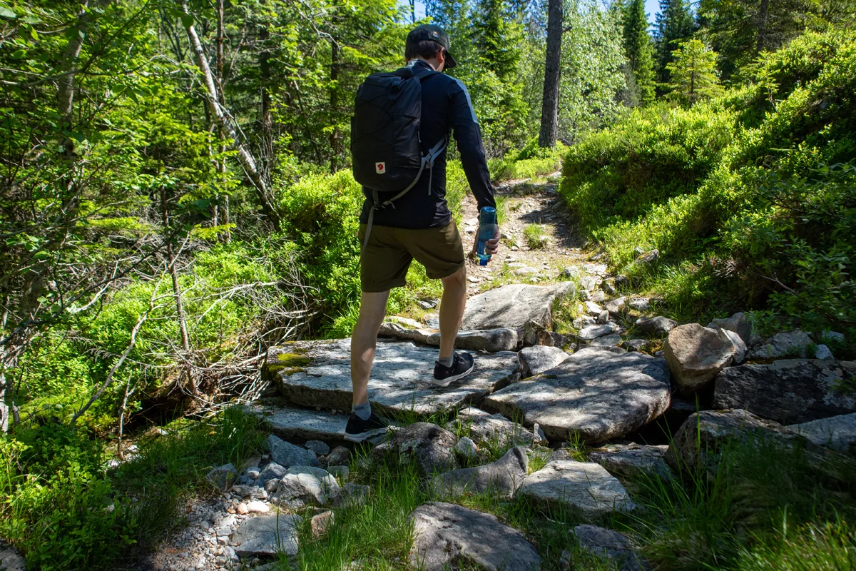
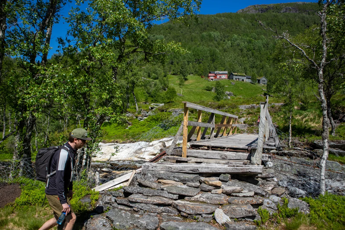
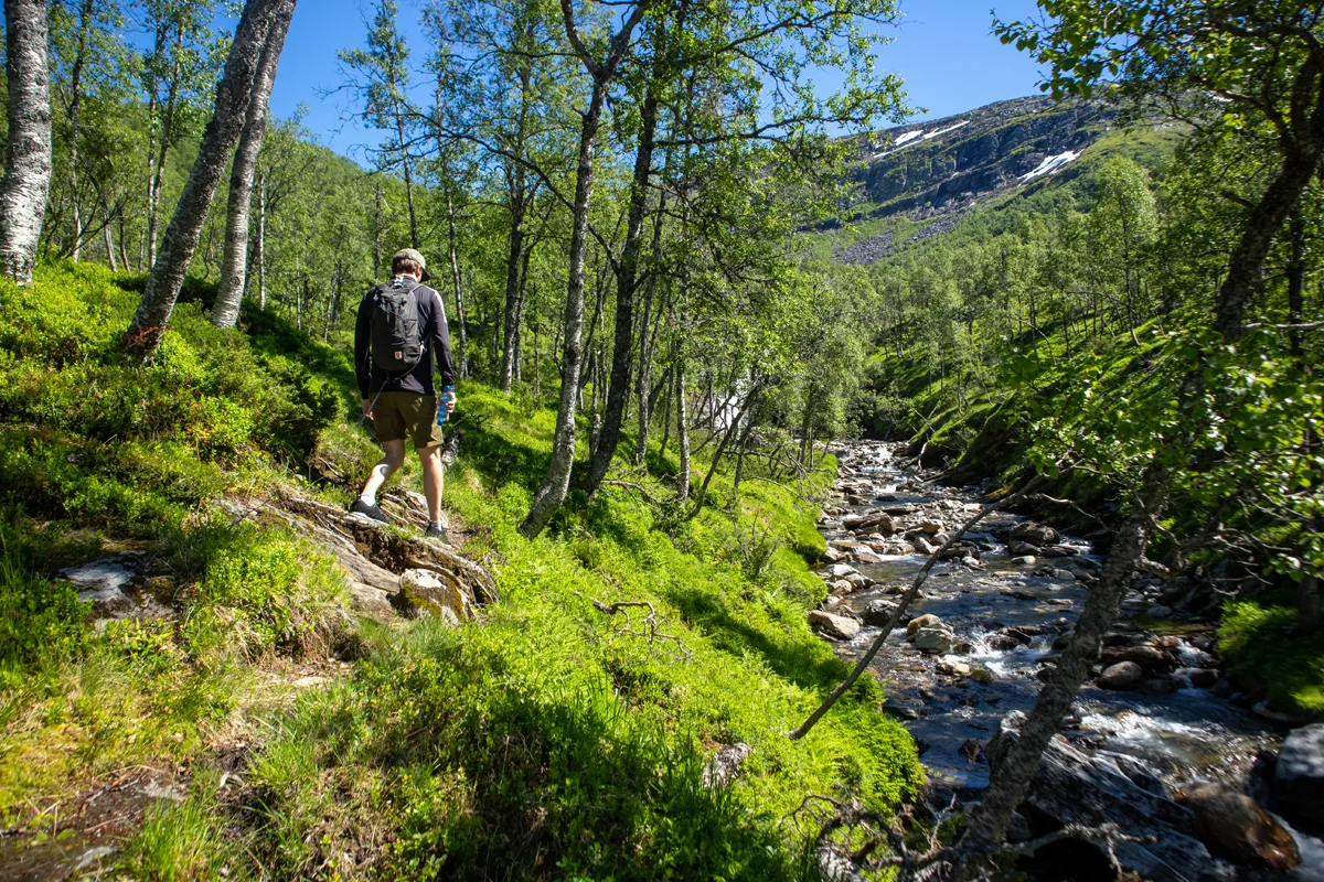
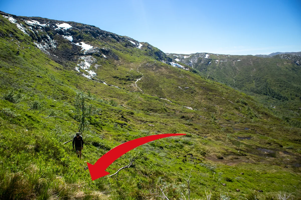
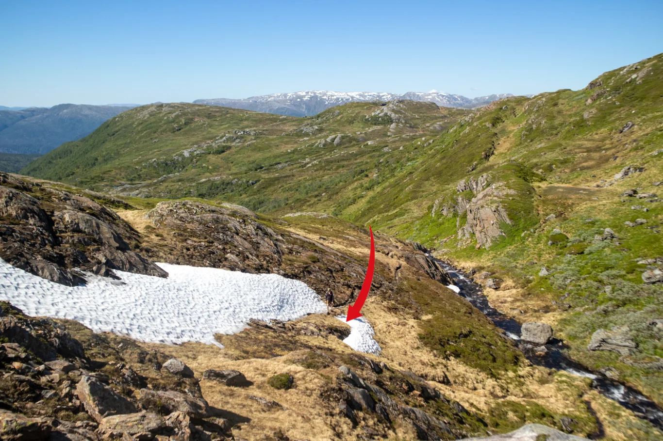
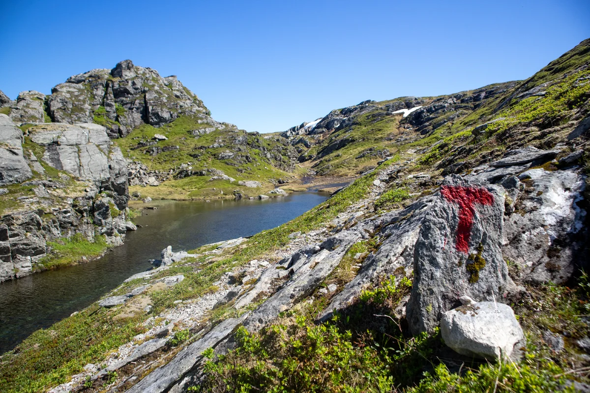
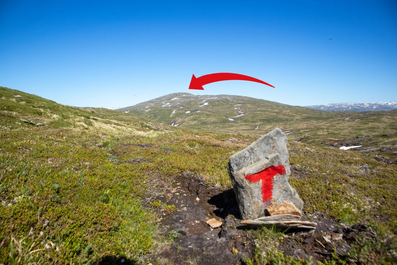
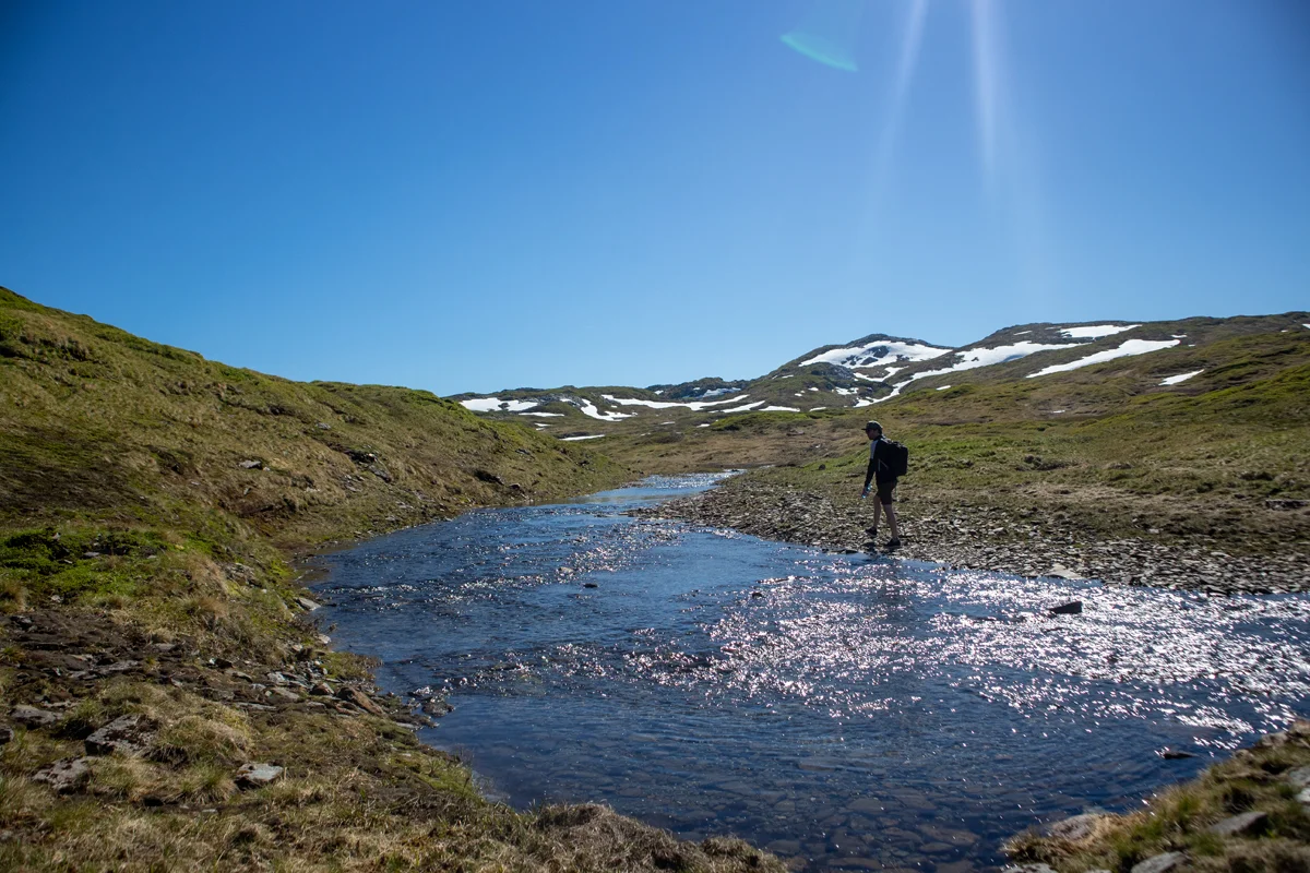
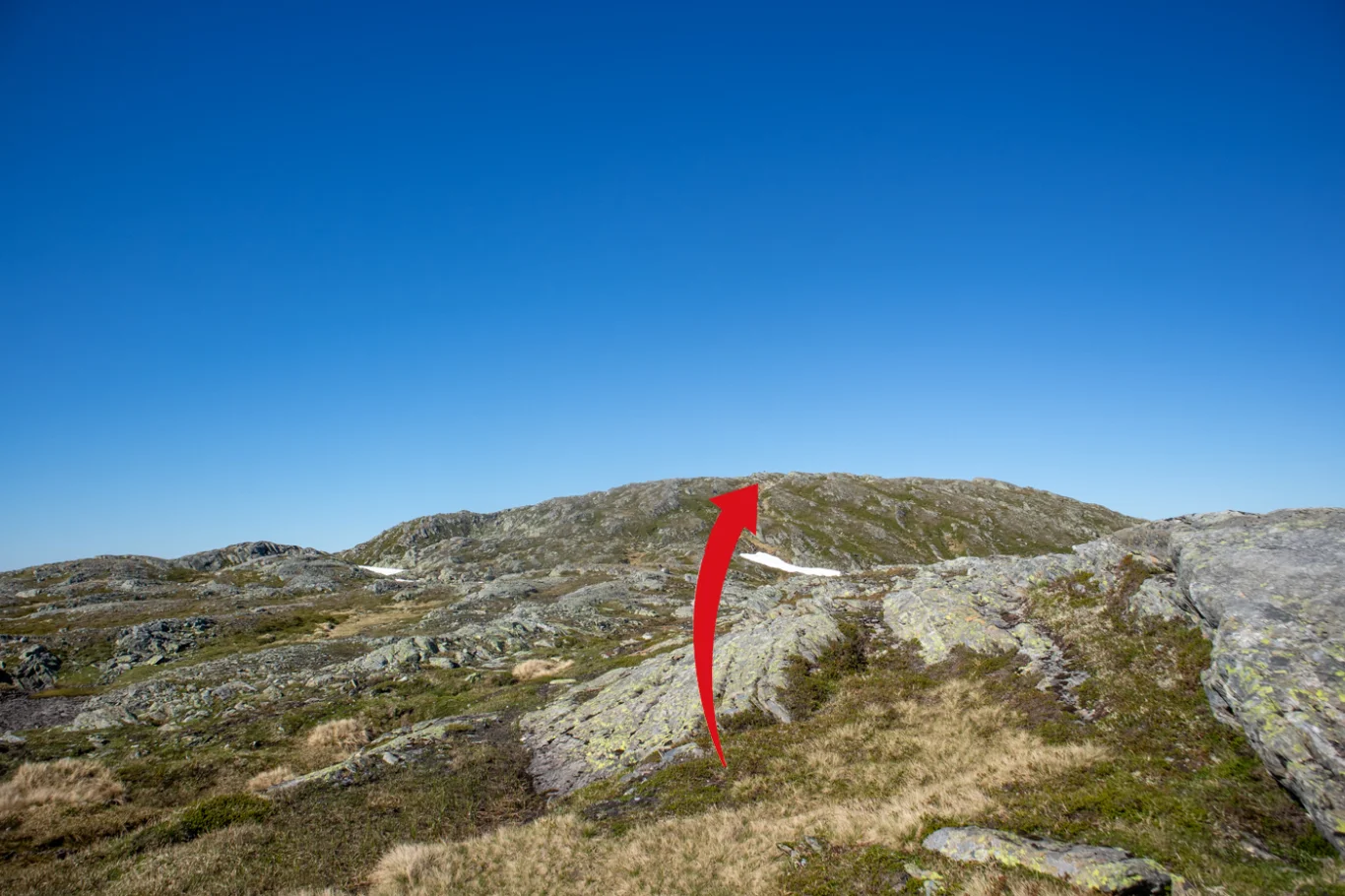
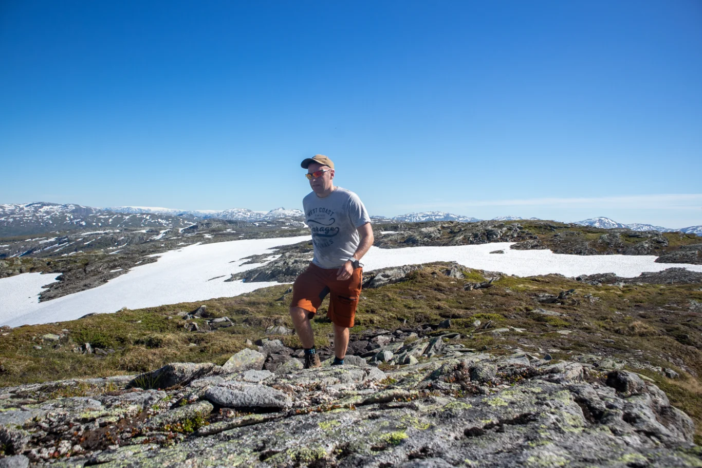
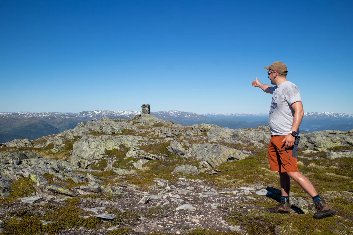
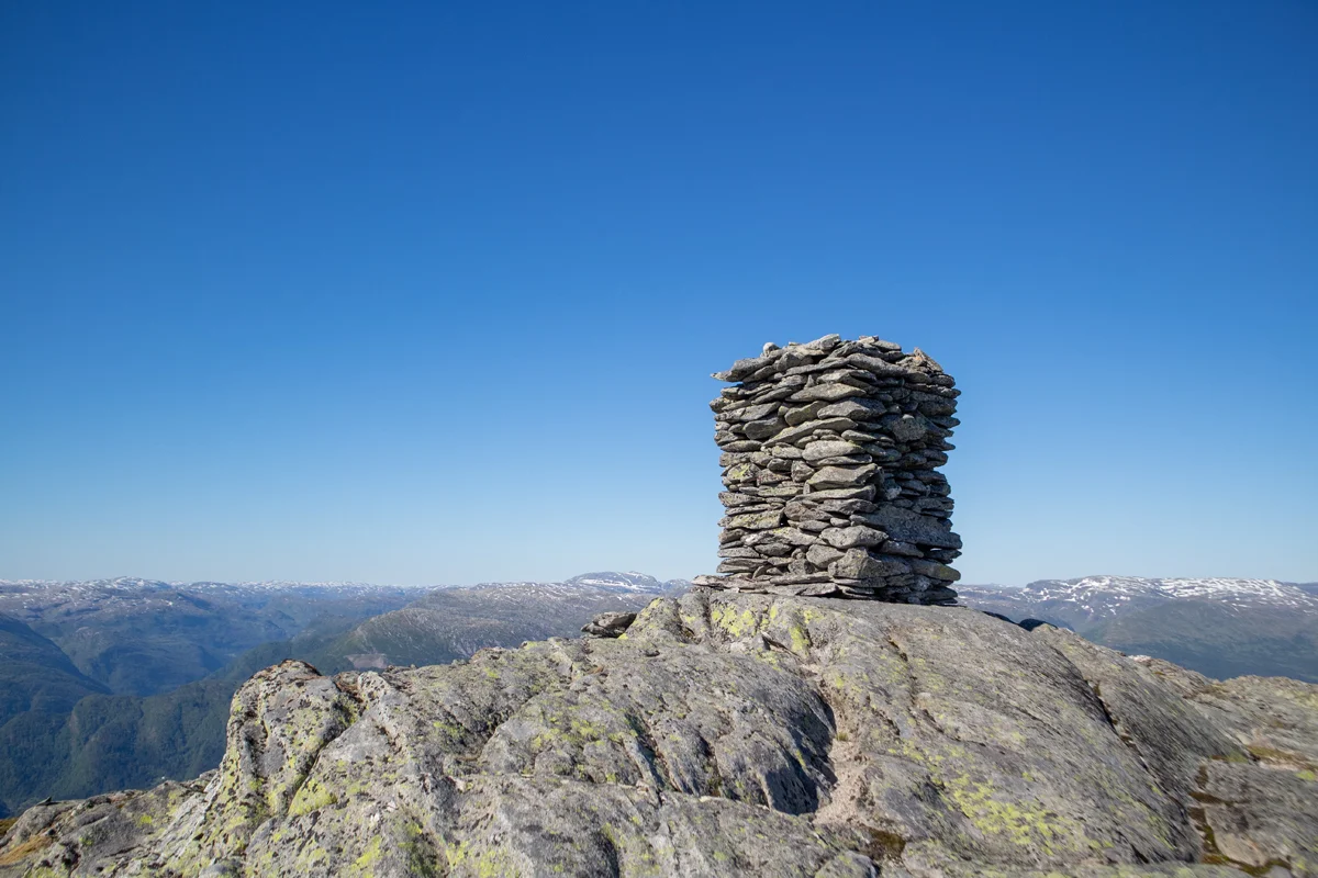
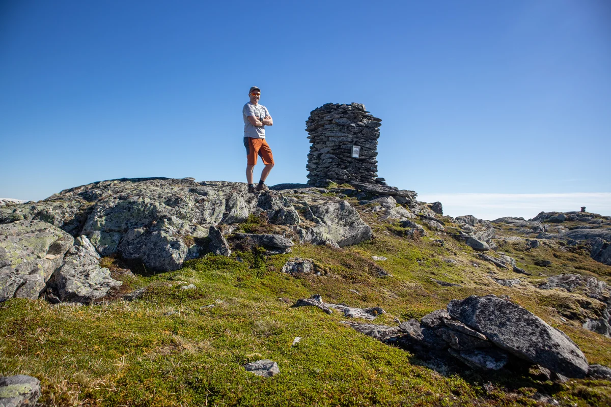
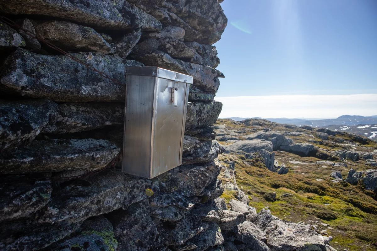
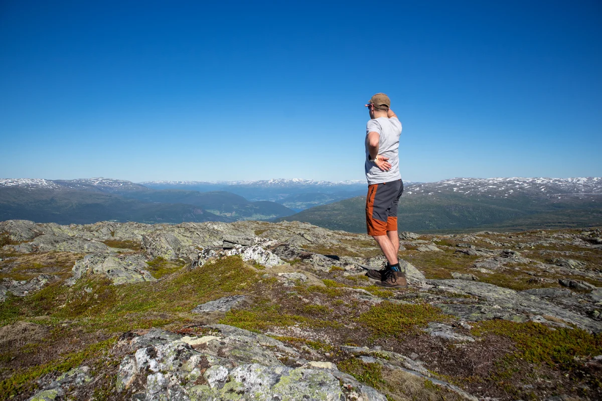
Mountain hike to Mykkeltveitveten (1131 m) from Rasdalen
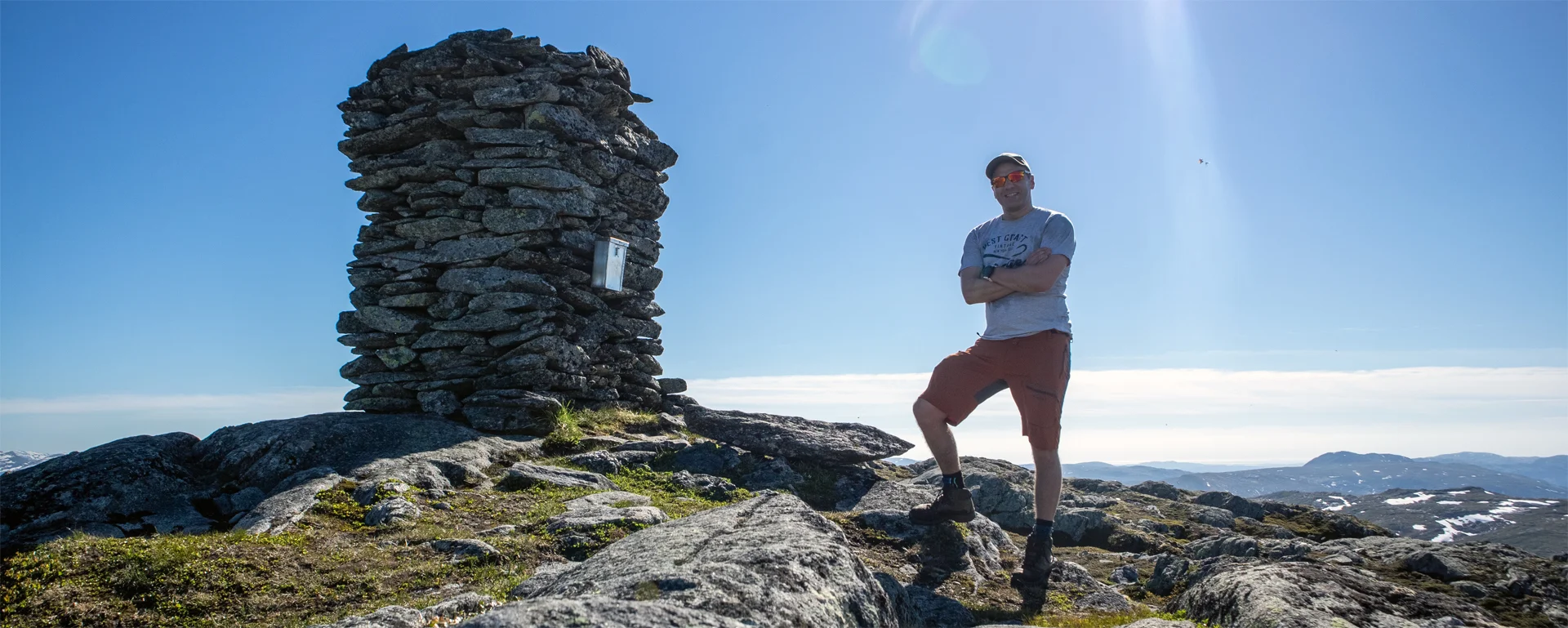
Fjelltur til Mykkeltveitveten (1131 moh) fra Rasdalen
Photo: Admin

The GPX Track is for guidance only and may contain errors. Use at your own risk.
– always check maps, weather and conditions before your trip.

Access

Approximately 1 hour 16 minutes (76.0 km) drive from Bergen city center.

Parking

Gratis Parking ved turstart.  Parker på snuplassen like før grind nr. 2

Description

This is a mountain hike that goes through beautiful natural landscapes just north of Bergsdalen.

From the parking lot, go through the gate and follow the path that goes to the left below the house / cabin. Follow the T-marked path up the valley parallel to the Rasdal River. There are many small waterfalls along the river and swimming holes. After about 1 km, cross the river over the bridge and follow the path on the other side of the river.

The path is good so just walk on. After about 1 km. both the river and the path turn left and you come up to Vibotnen. Here is an old stable. Now you have to cross the river again, but there is no bridge here. You can see that the river comes down from the mountain to the east and you will go over to the peninsula that sticks out on the right side. You can see a red-marked wooden stick sticking up.

You will then continue up to Osskardet. There is approximately 200 meters of elevation gain and this is the steepest part of the hike. When you get up here, it flattens out and becomes a plateau landscape. Follow the T-marked path east. In some places the path is unclear, but the markings are good so it is easy to find your way. When you come down into Rasdalskarret you can see the gigantic Mykkeltveitvet in front of you. Follow the T-marked path down into the valley, over the bog and further up towards the south side of the mountain. From here the path is completely gone, but markings show the way.  

Når du har kommet til fortoppen av fjellet skal du gå av den t-merkede stien.  Denne siste delen har hverken sti eller merking. Gå oppover ryggen mot nord-øst. Når du har kommer opp på fortoppen 1075 moh. fortsetter du videre nordover til du ser hovedtoppen. Gå rett frem opp rennen på midten og videre nordover. Den store varden ligger helt i enden av toppen.  

At the top is a large cairn, a mailbox with a book and a panoramic view of Voss and nearby mountains.

Return the same way!

Information

Length: Approximately 20 km round trip.
Time: Approximately 6-7 hours.
Season: June - Oct
Grading: Demanding

Processing elevation data.. .

You use GPX files that you download from our server 100% at your own risk.

Accommodation nearby

Hiking nearby