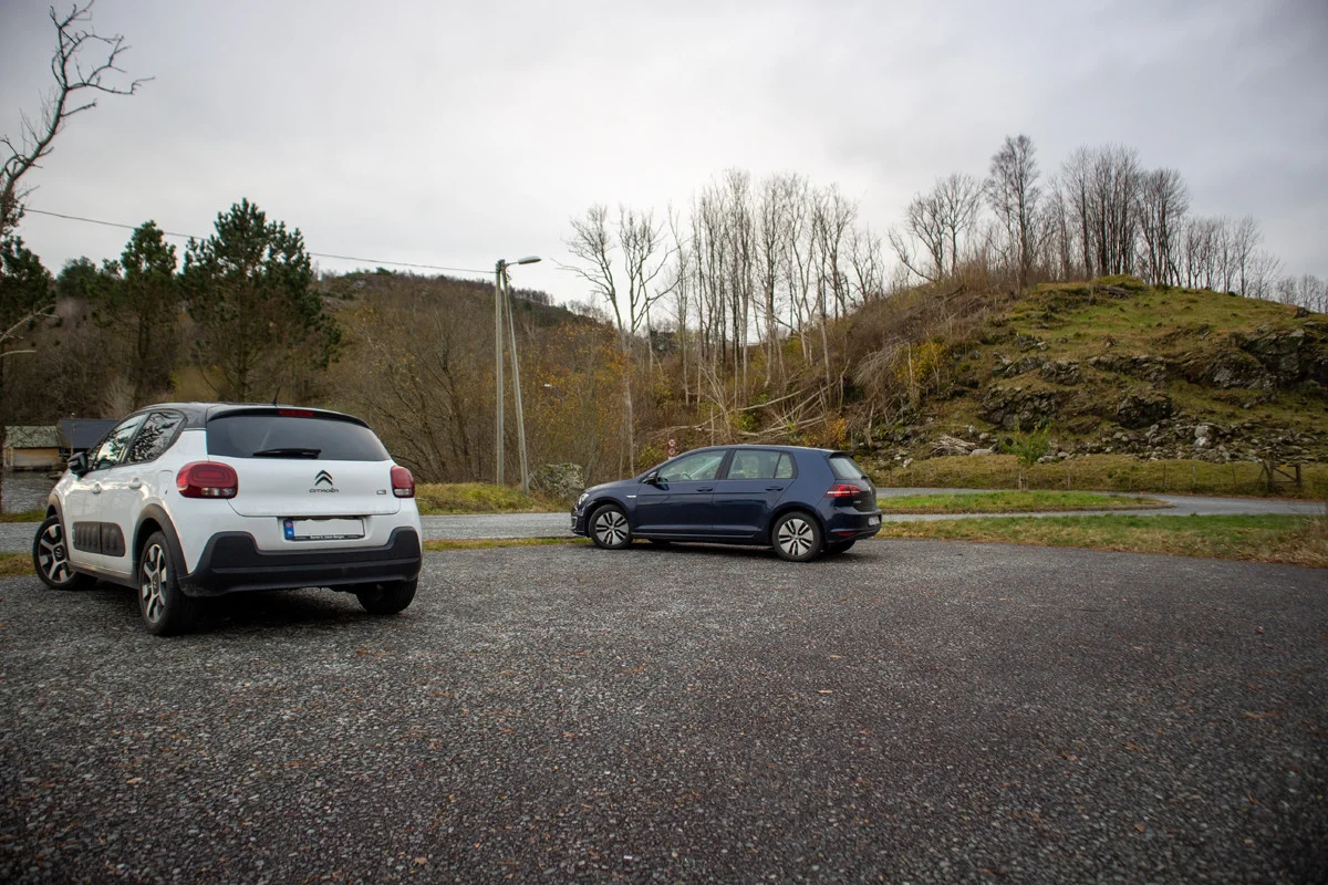
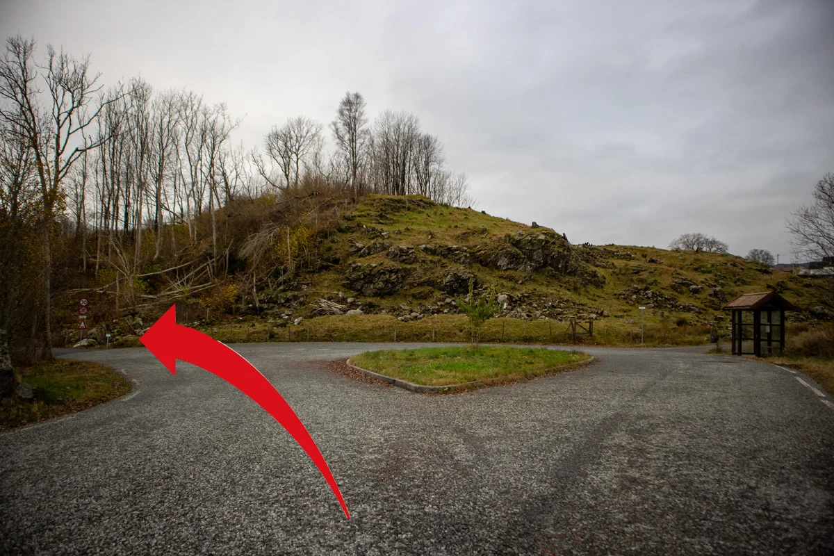
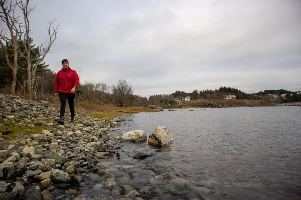
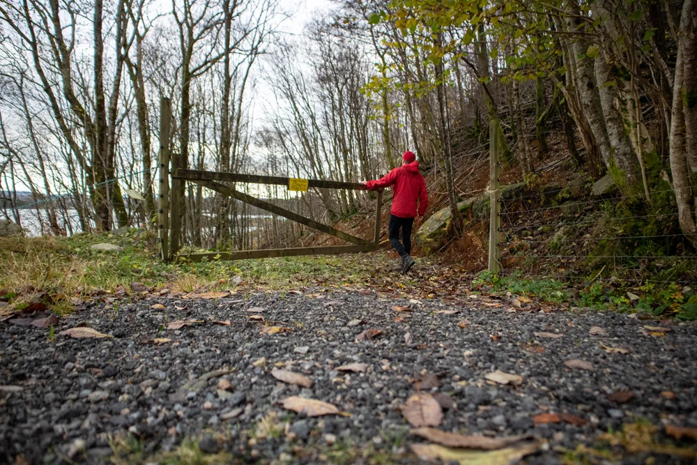
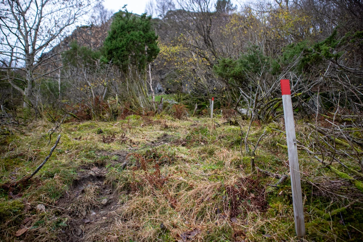
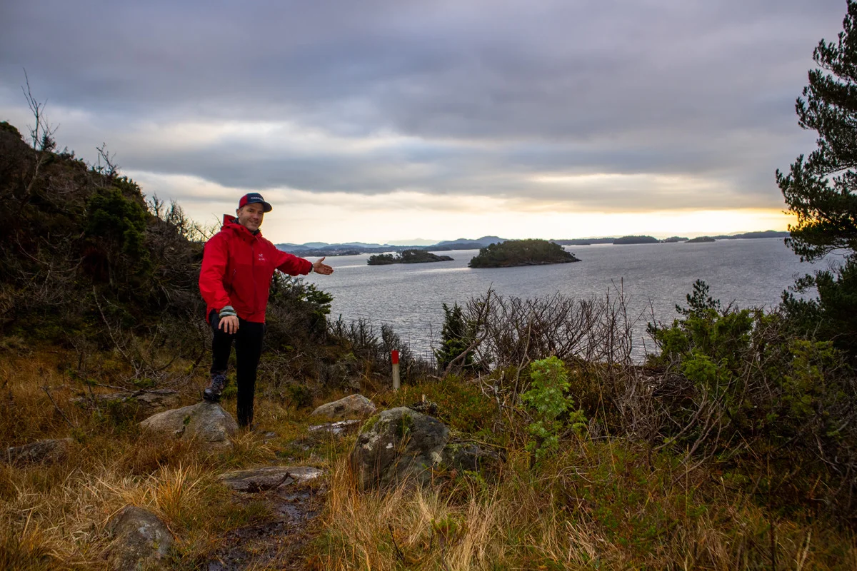
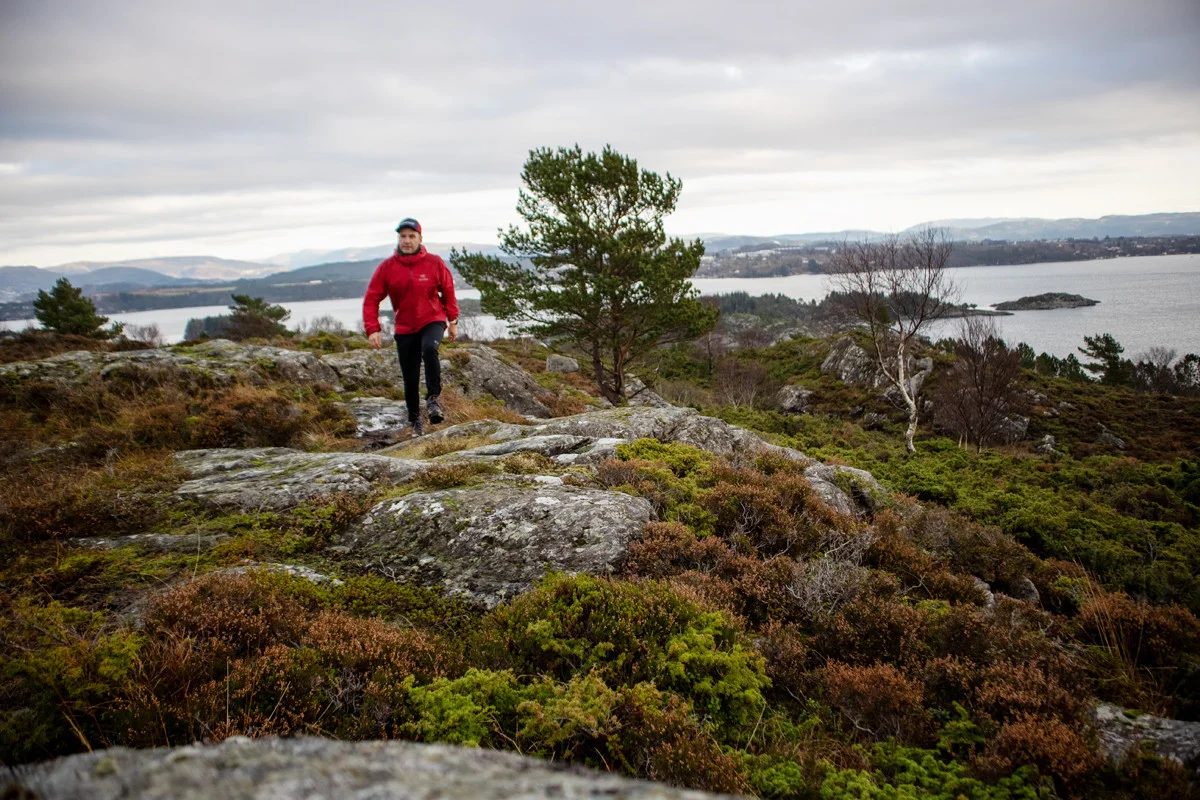
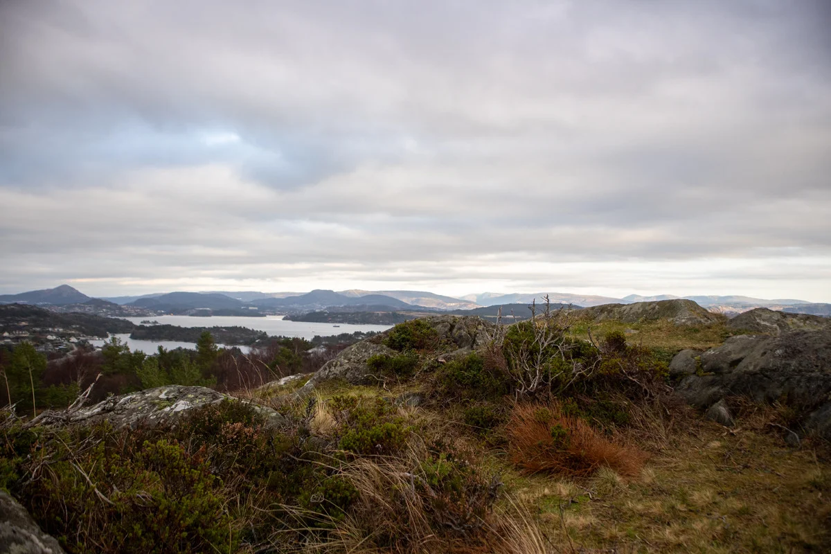
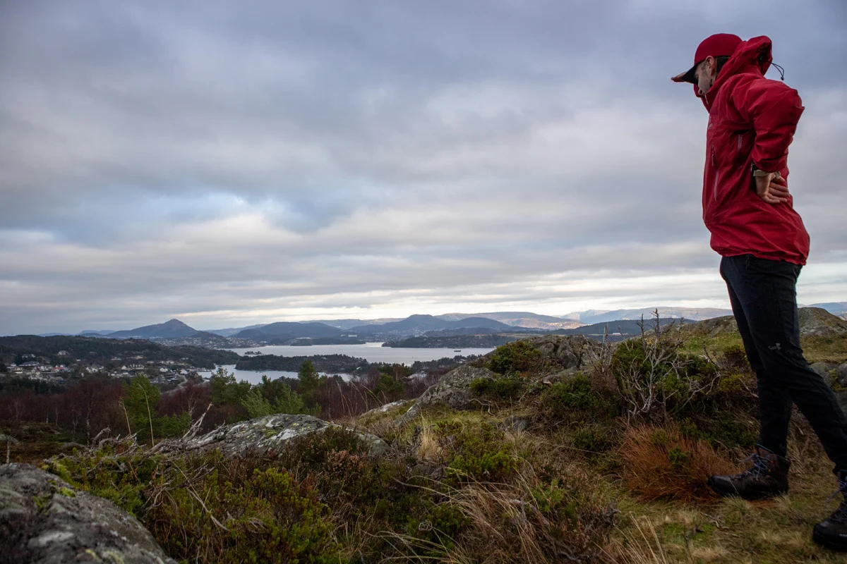
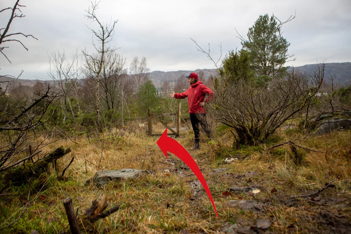
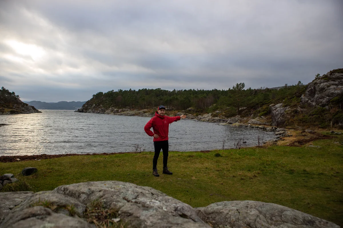
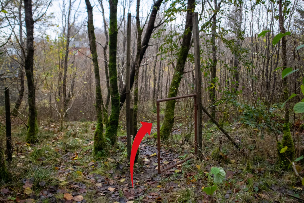
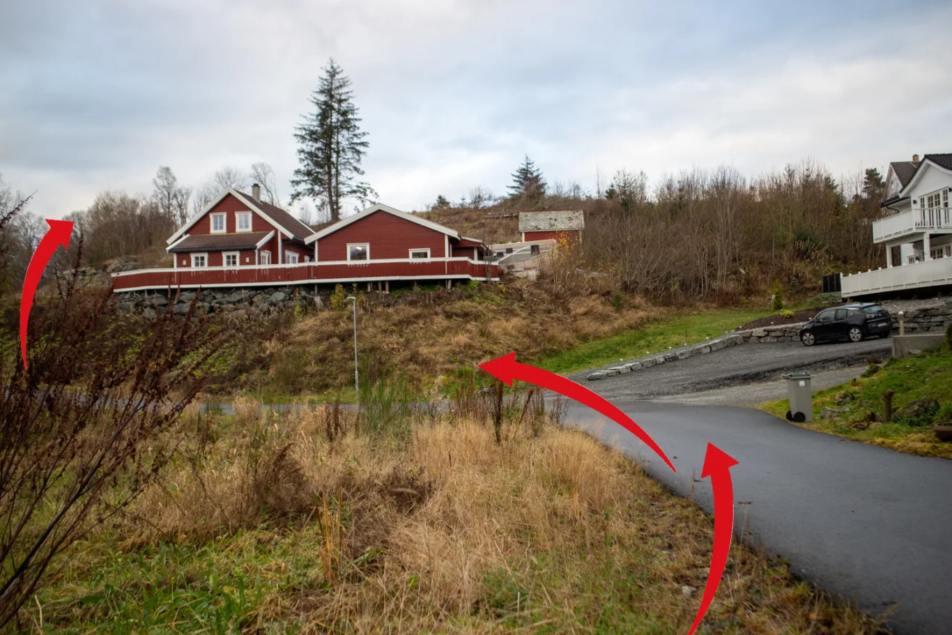
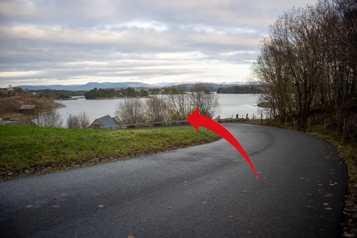
Hiking tour across Tyssøy, at the edge of Bjorøy
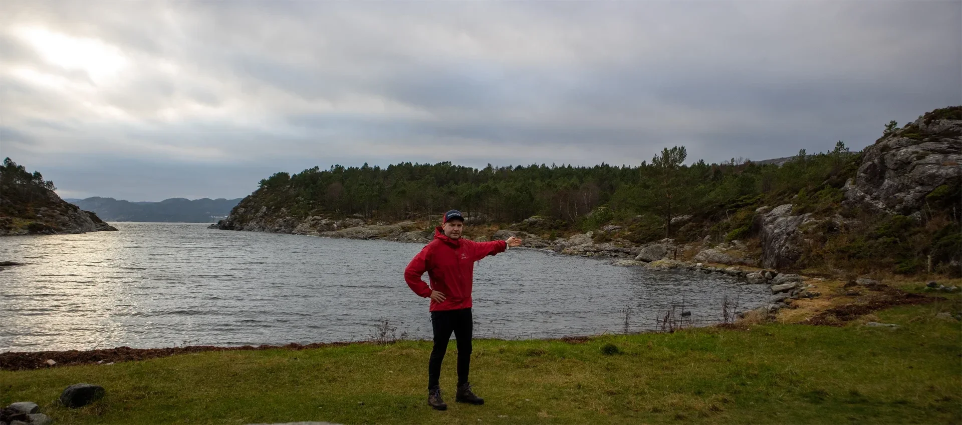
The GPX Track is for guidance only and may contain errors. Use at your own risk.
– always check maps, weather and conditions before your trip.
Access
Parking
Description
This is a nice round trip on Tyssøy. From the parking lot you follow the paved road across the island.
At the first right turn, you turn off the road to the left through the large gate. Follow the path down to the water. Then you follow the red-painted markers south on the east side of the island. There is a nice view of the fjord. The path is good and well marked. After a while, the path leads west and you come up into the hills. Here, as shown on the GPS Track , you can take a detour to the island's highest point, Varden (80 m above sea level).
At the top there is a nice view towards Flesland and you can see Lyderhorn sticking up in the Distance . From the top you follow the marked path north and then it turns left down onto a gravel road.
Follow the gravel road down to Smivågen. When you have arrived there, take the path on the right out to Vestraneset. Here is a mailbox and a book. Follow the path back on the west side of the island. On this route there are many nice bathing coves. At Skjervika you can follow the sign back to Smivågveien.
For a longer hike as shown on the GPS Track , follow the path further north along the fjord. At the crossroads, turn right through the forest and continue through the rusty gate until you reach the construction site. From here, follow the asphalt road to the car.