The GPX Track is for guidance only and may contain errors. Use at your own risk.
– always check maps, weather and conditions before your trip.
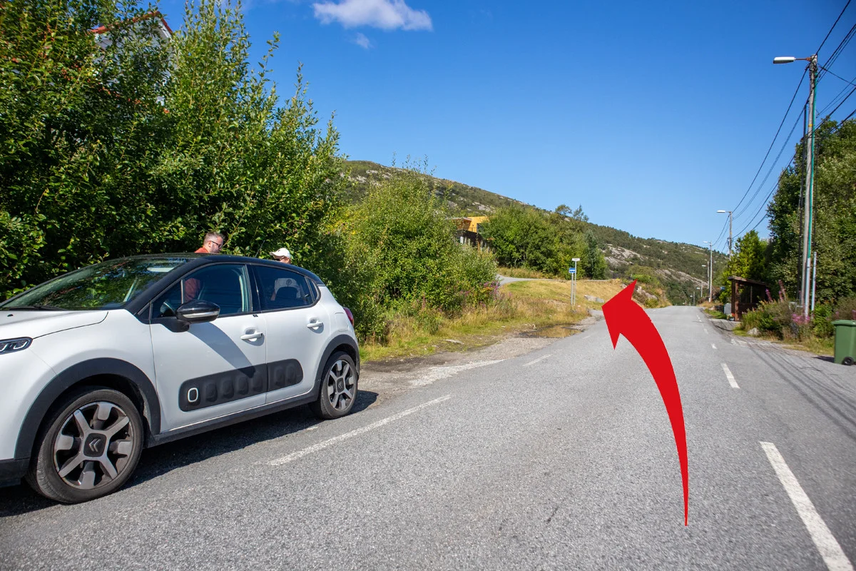
From Bergen you drive over the Sotra Bridge. Drive past Straume and to the left at the intersection before the Kolltveit Tunnel sign 'Bildøyna / Li'. Then first right over the bridge sign 'Li'. Drive half way up Bildøybakken and to the left again sign 'Li'. Now the road becomes much narrower. Drive the road south all the way to Li. Park along the road on this long area. If you are unsure where to stop click on our link 'Go to Google maps'.
This is a nice panoramic hike that goes over Sotra's highest mountain range.
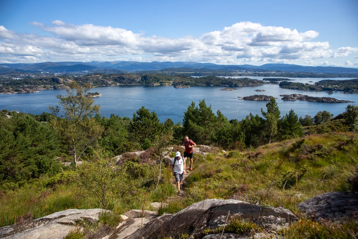
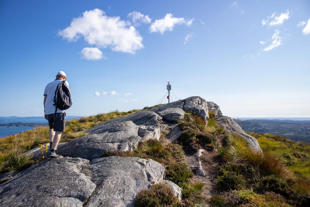
Go left and then left at the intersection just off the main road. Follow the paved road through a residential area. At the turning point, take the path to the left into the forest. Follow the beautiful path up to Liatårnet (341 m above sea level). It is a steady climb and you walk over bridges and on stone steps. Halfway to the top you come to a large cairn. Here there is a nice view east towards the fjord and Flesland. Follow the path further west towards the top.
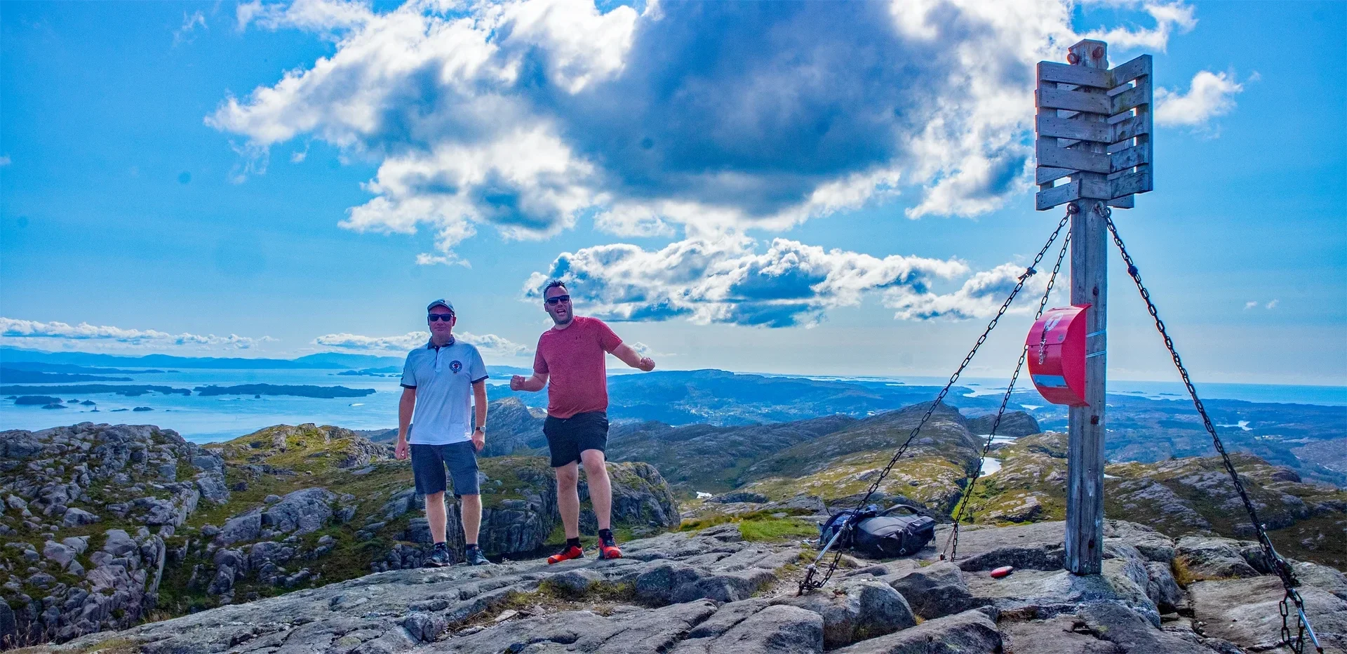
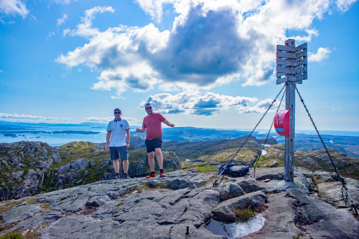
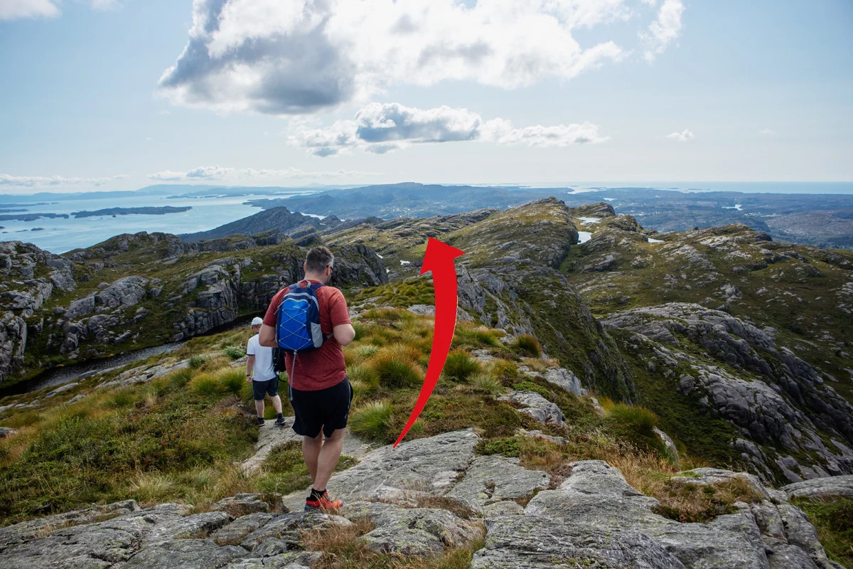
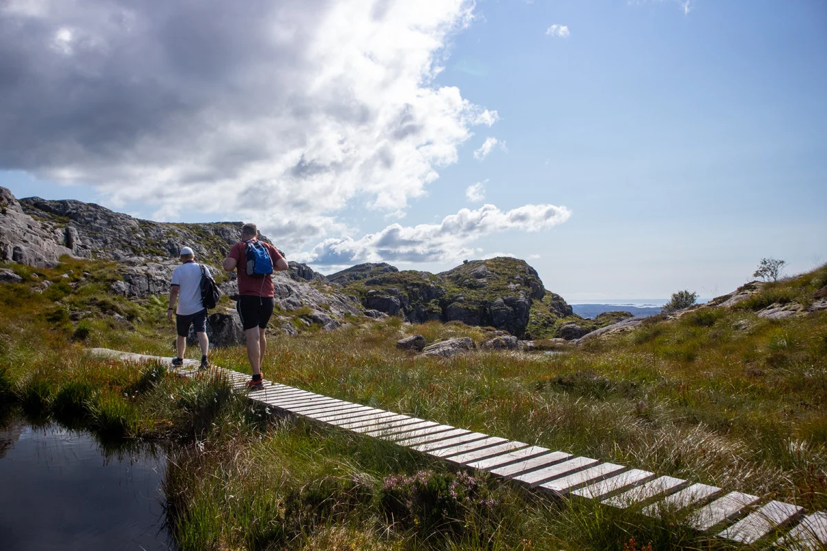
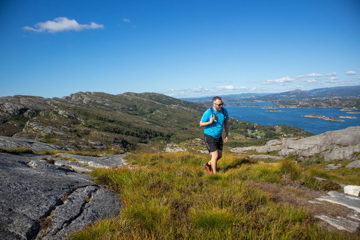
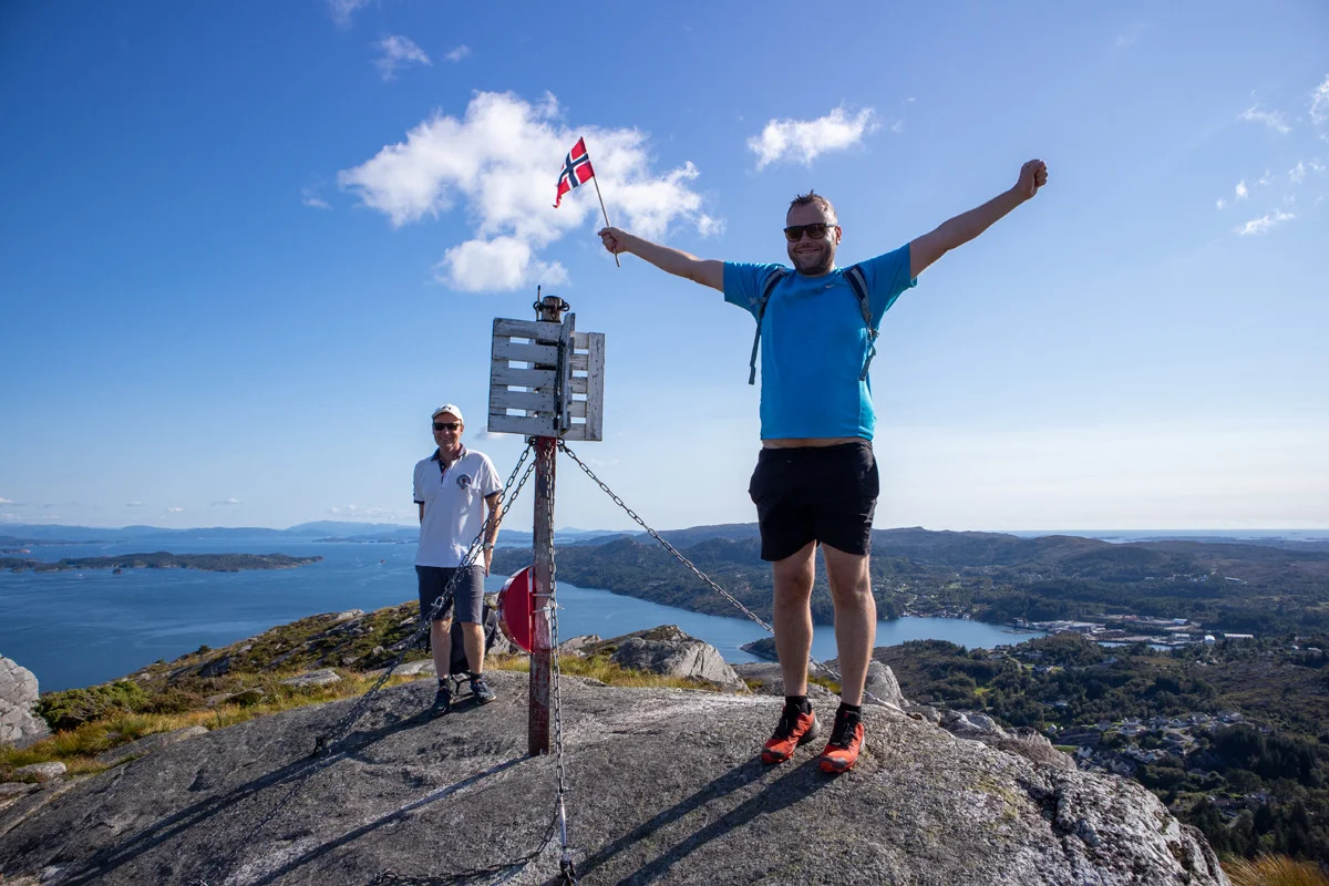
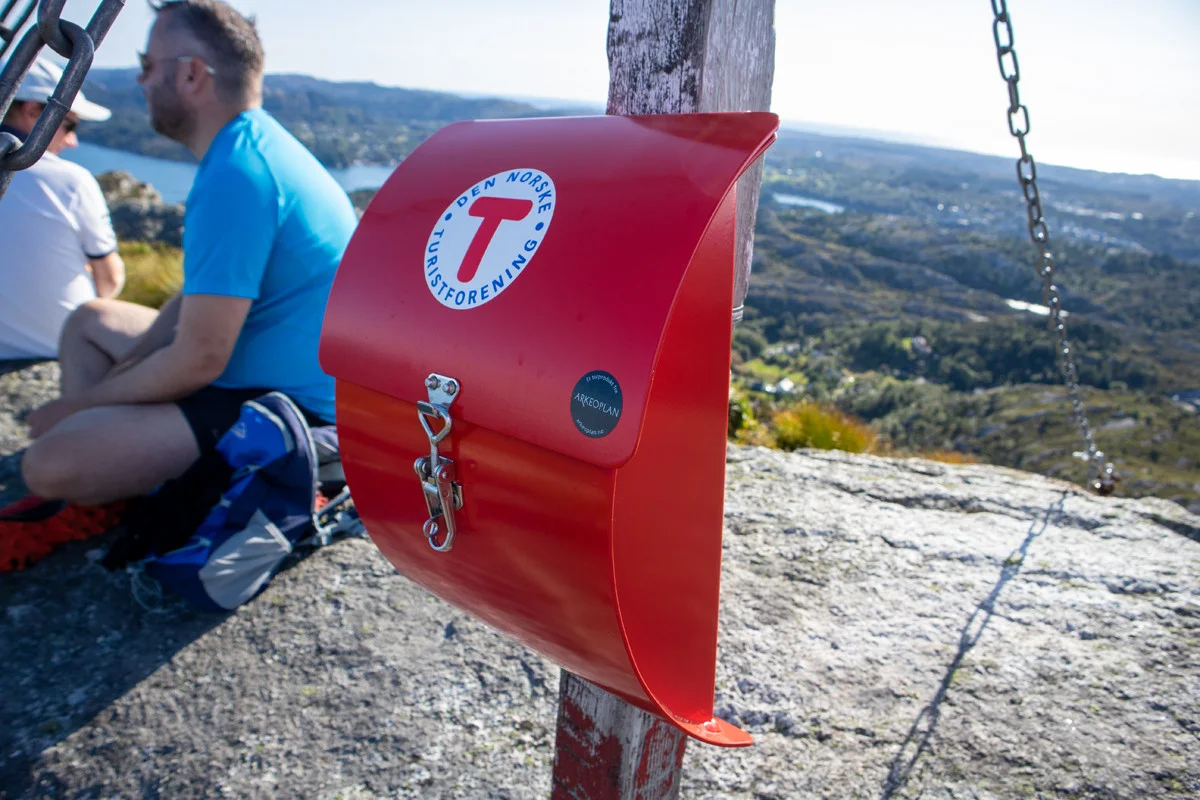
Up at Liatårnet, which is Island's highest point, there is a nice 360-degree panoramic view. You can even see Folgefonna in the Distance . From the top, follow the marked trail south along the ridge. After a while, the trail turns left down a steep bend. It then goes on wooden bridges over the marshes in a south-westerly direction. Shortly after, it turns south on the left side of Høgafjellet. At this point, there is a great view to the west.
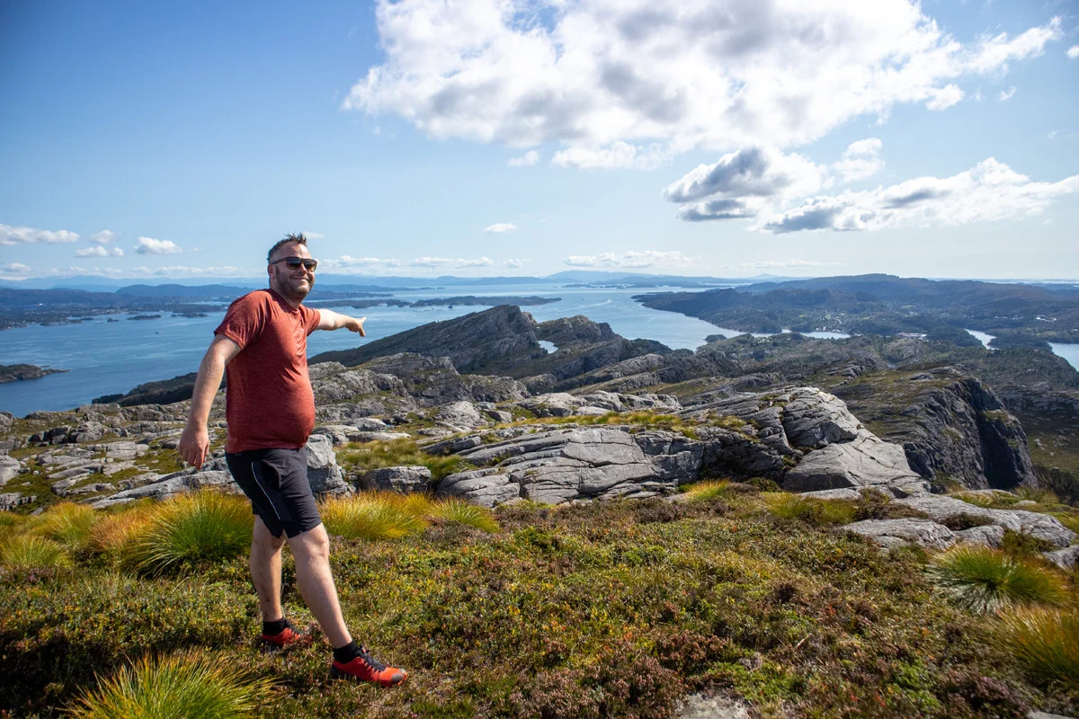
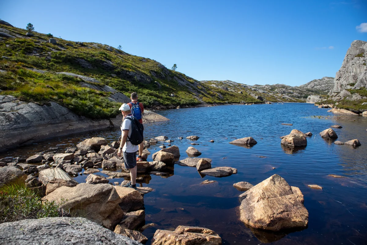
At the end of the water you can follow the path around the left side of the southern peak of Høgafjellet and then follow the path up to the summit cairn. As you can see on the GPS Track , we chose to go off the path here directly to the summit cairn. Both ways work equally well. The view at the cairn is top class, so everyone recommends taking the detour up here.
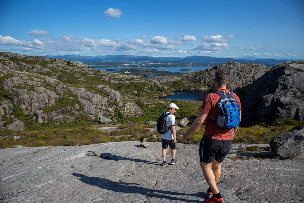
From the cairn you can see the top of Haganesfjellet. We followed the marked path south through the hilly mountain terrain down towards Kattatjørna. Follow the path on the right side of the water and then further on the right side of Brattestigvatnet. For a great view you can take a detour to Øvsta Ørnanipa.
At the end of Brattestigvatnet we stopped to swim. Due to a large area, the marked path goes in a long arc south of the water. We crossed at the end when it was dry. If it has rained a lot, follow the path. Walk on the path north on the east side of the water. After a while, the path turns south again towards Haganesfjellet (232 m.). The view from the latter is also top class.
From the top, follow the same path back by then following the marked path to the right down towards Liaskjæret. Walk the last km on the paved road back towards the car.
Have a good trip!