
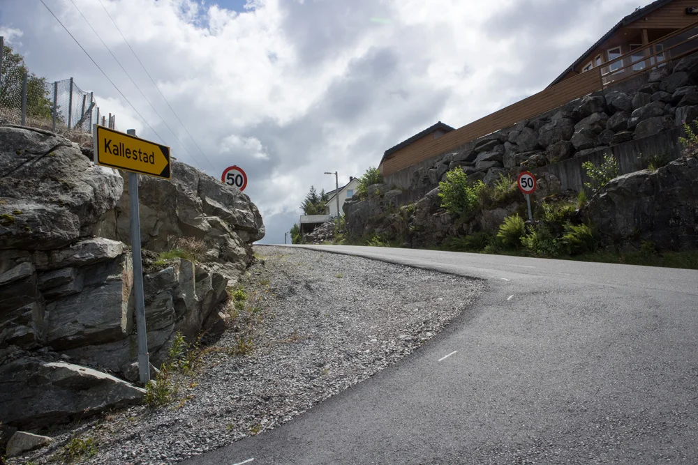
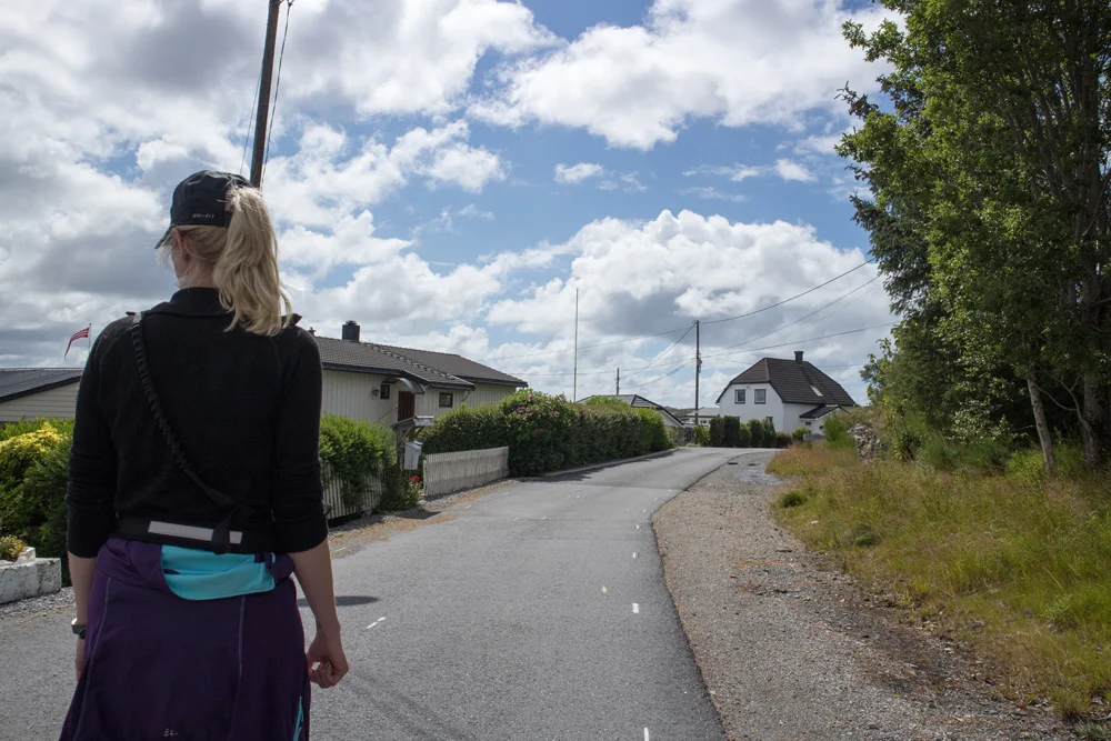
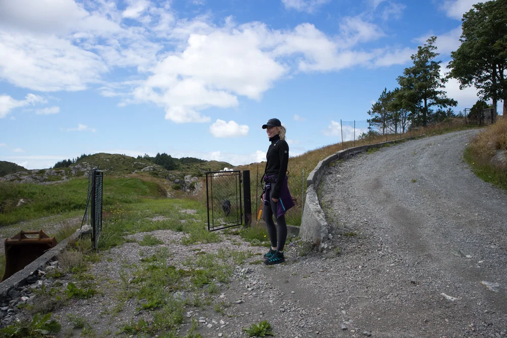
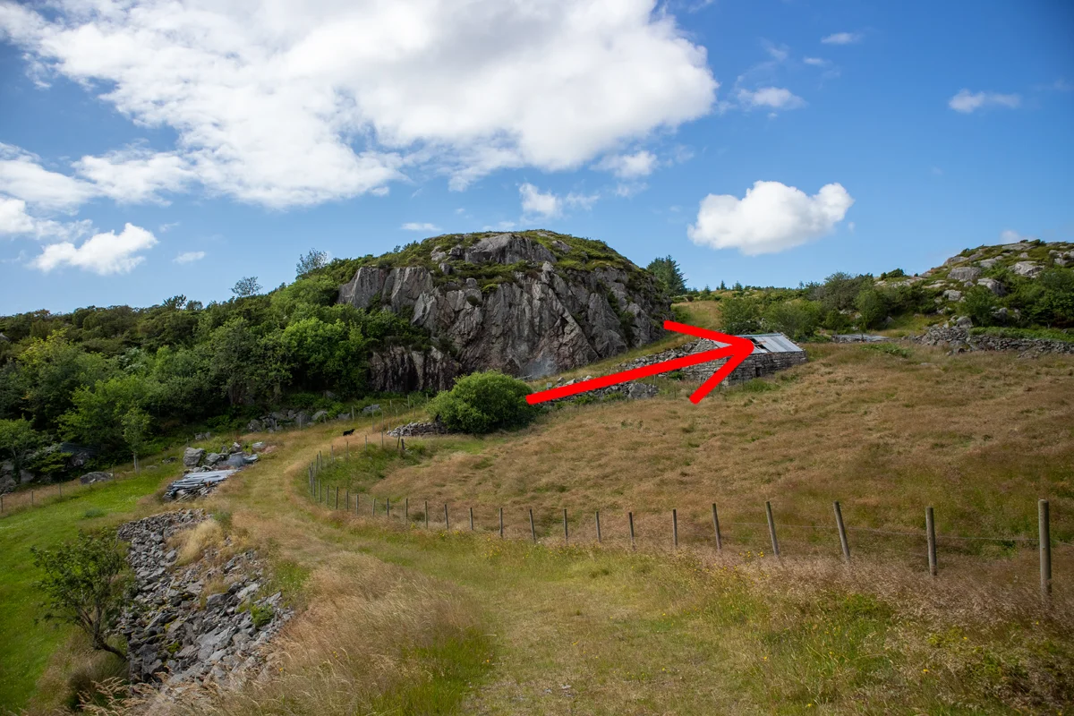
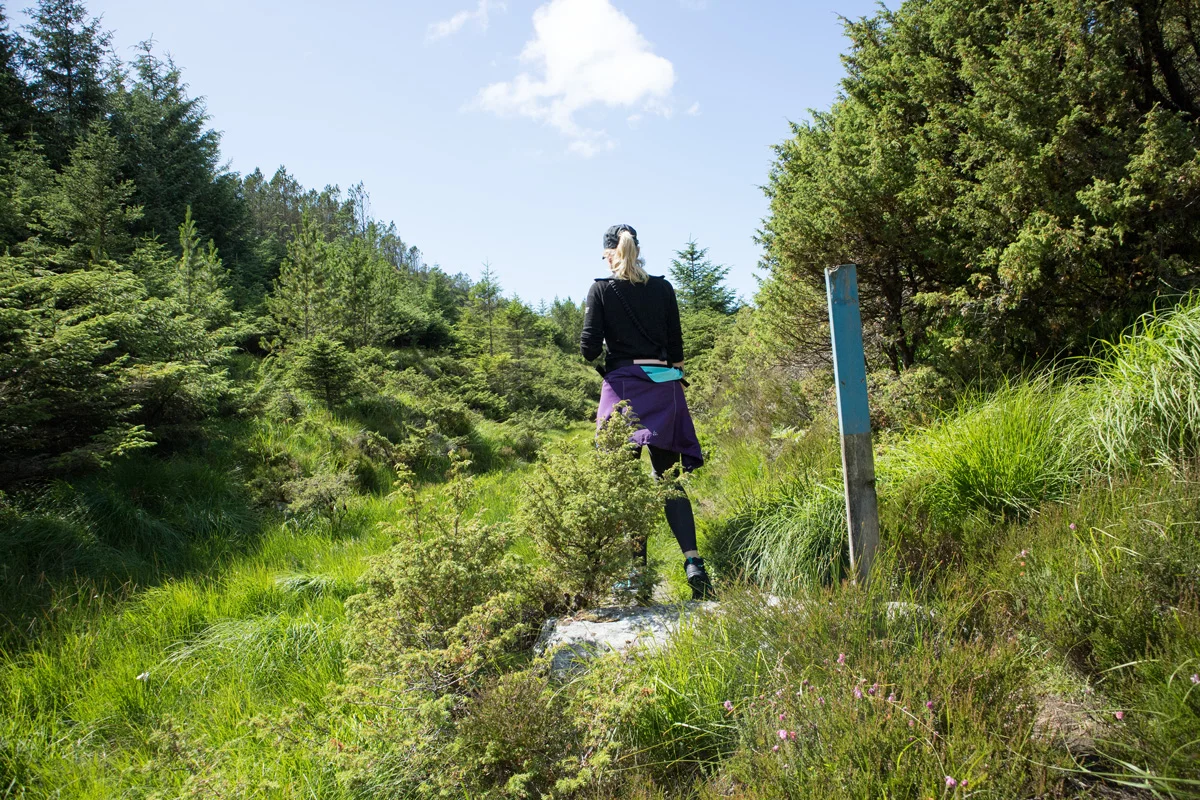
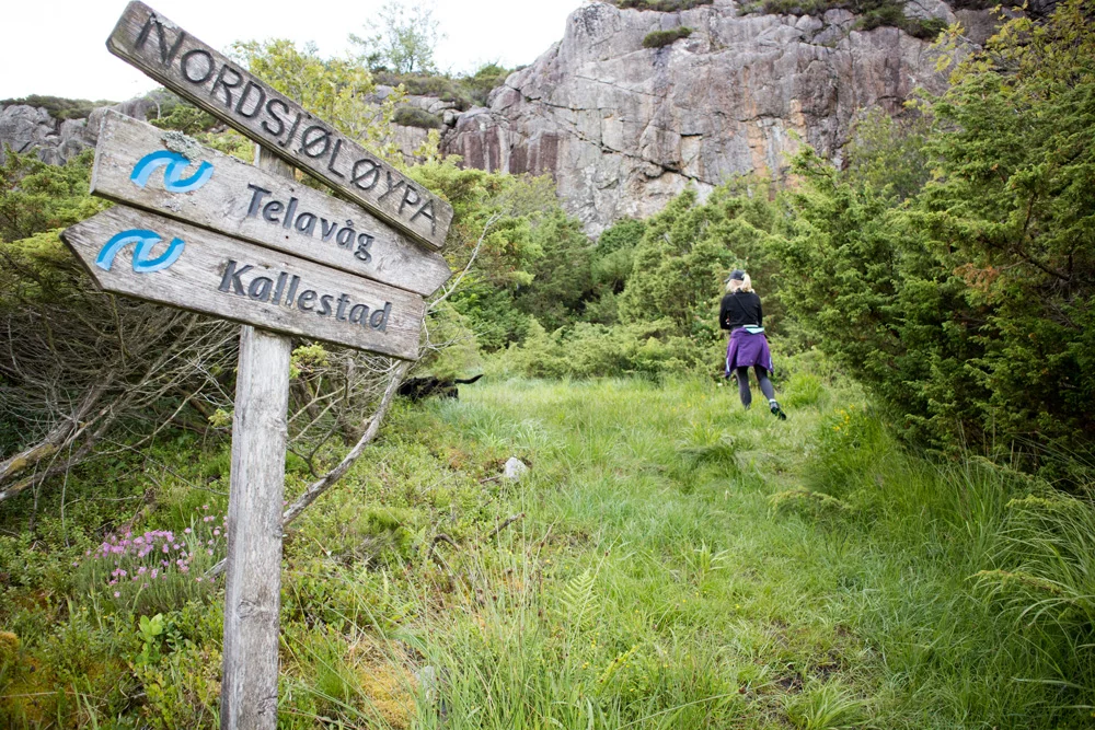
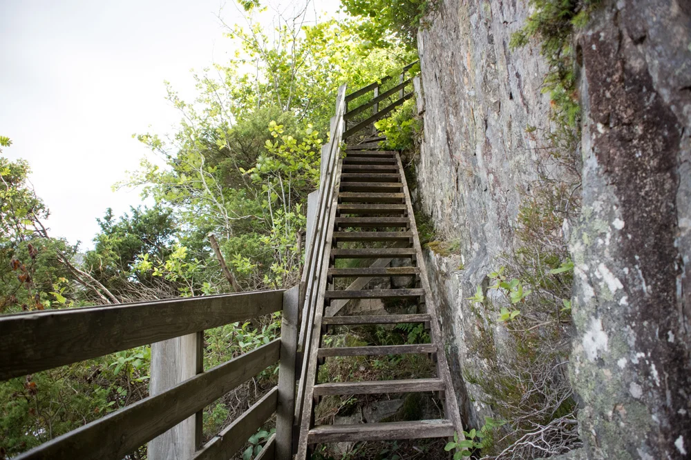
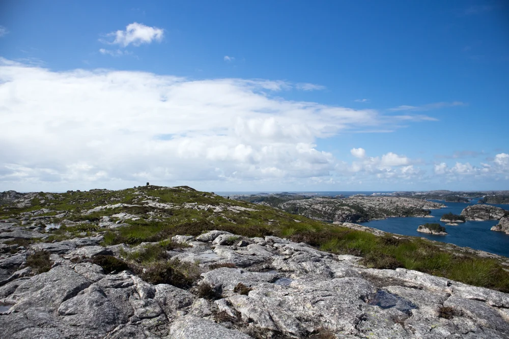
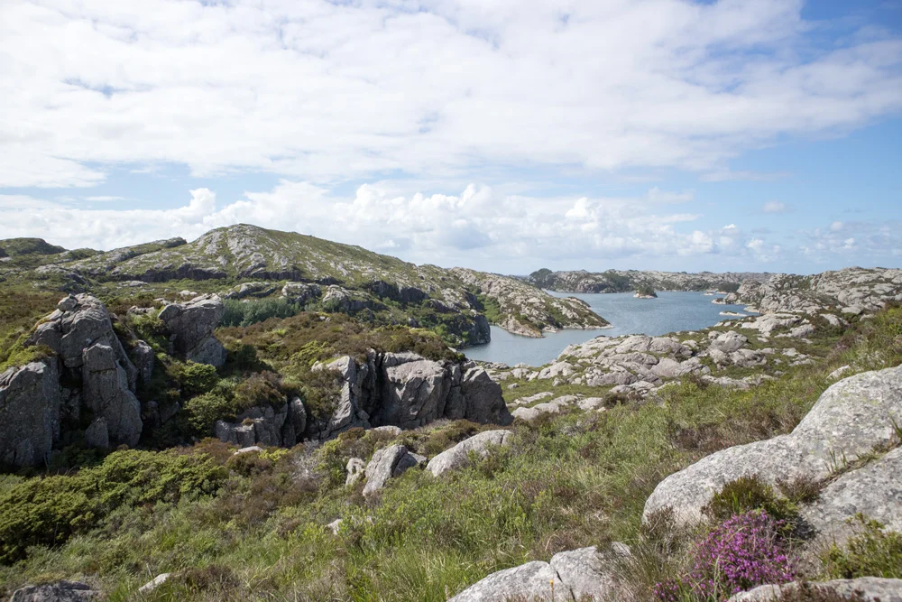
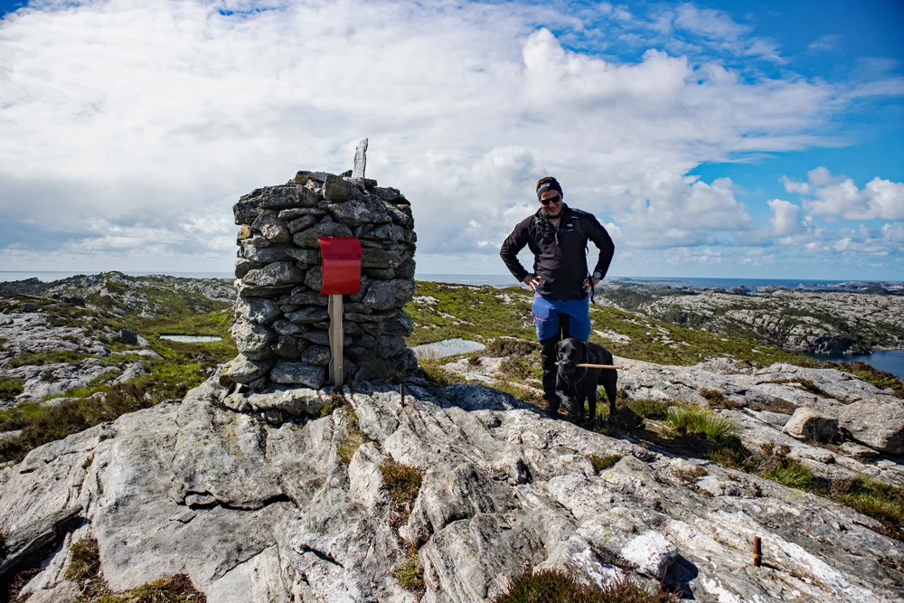
Brotavarden (87 m) from Kallestad on Sotra
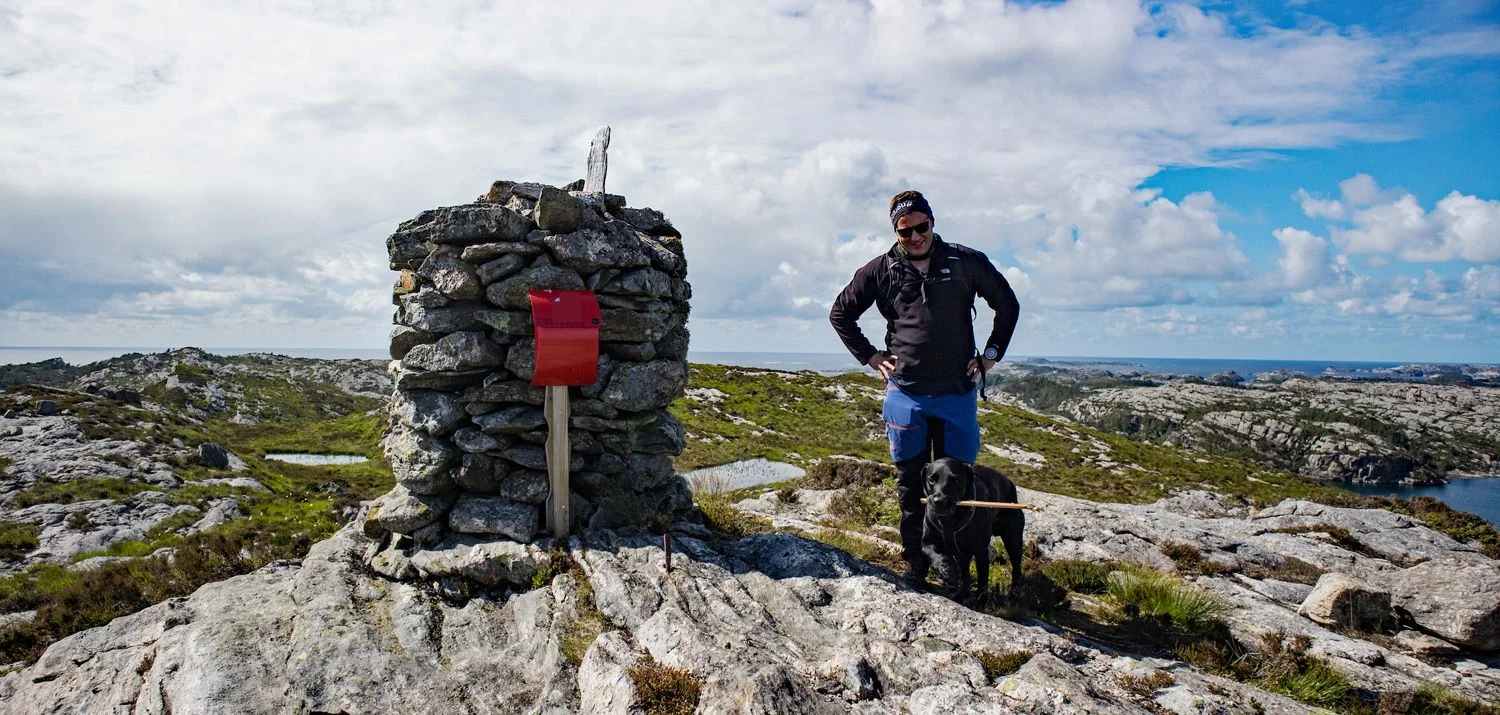
Brotavarden (87 moh) fra Kallestad på Sotra
Photo: Admin

The GPX Track is for guidance only and may contain errors. Use at your own risk.
– always check maps, weather and conditions before your trip.

Access

From Bergen city center, drive over the Sotra Bridge and continue through the Kolltveit Tunnel. Turn left at the roundabout towards Sund and past the parking lot at Fjellfesting. Just before you reach Skogsvåg, turn right at the sign 'Kallestad'. Follow the road approx. 3 km. to the turning point and park along the road.

Parking

Free parking along the road.

Description

The walk begins on a paved road and then onto a gravel road. When you reach an old stone house on the right with a stone yard, follow the path along it. It is then marked with blue-painted posts. Follow the path down to Kjereidetbukten and cross the bridge. Then go up the stairs and cross the island on the left side of the peak Ryggkastykket. Then it goes steeply down into the bay.

When you reach the sign, walk towards 'Telavåg' and then through the forest. Here you will see a sign marked 'Brotavarden'. Follow the ridge west towards the cairn. The last stretch is marked with small cairns and you can see the cairn in the Distance .

Have a good trip and remember to write your name in the book!

Information

Brotavarden (87 m.)
Length round trip: 7.5 km.
Time: 2-3 hours round trip
Sesong:  Hele året. Brodder vinter.
Grading: Medium

Processing elevation data.. .

You use GPX files that you download from our server 100% at your own risk.

Accommodation nearby

Hiking nearby