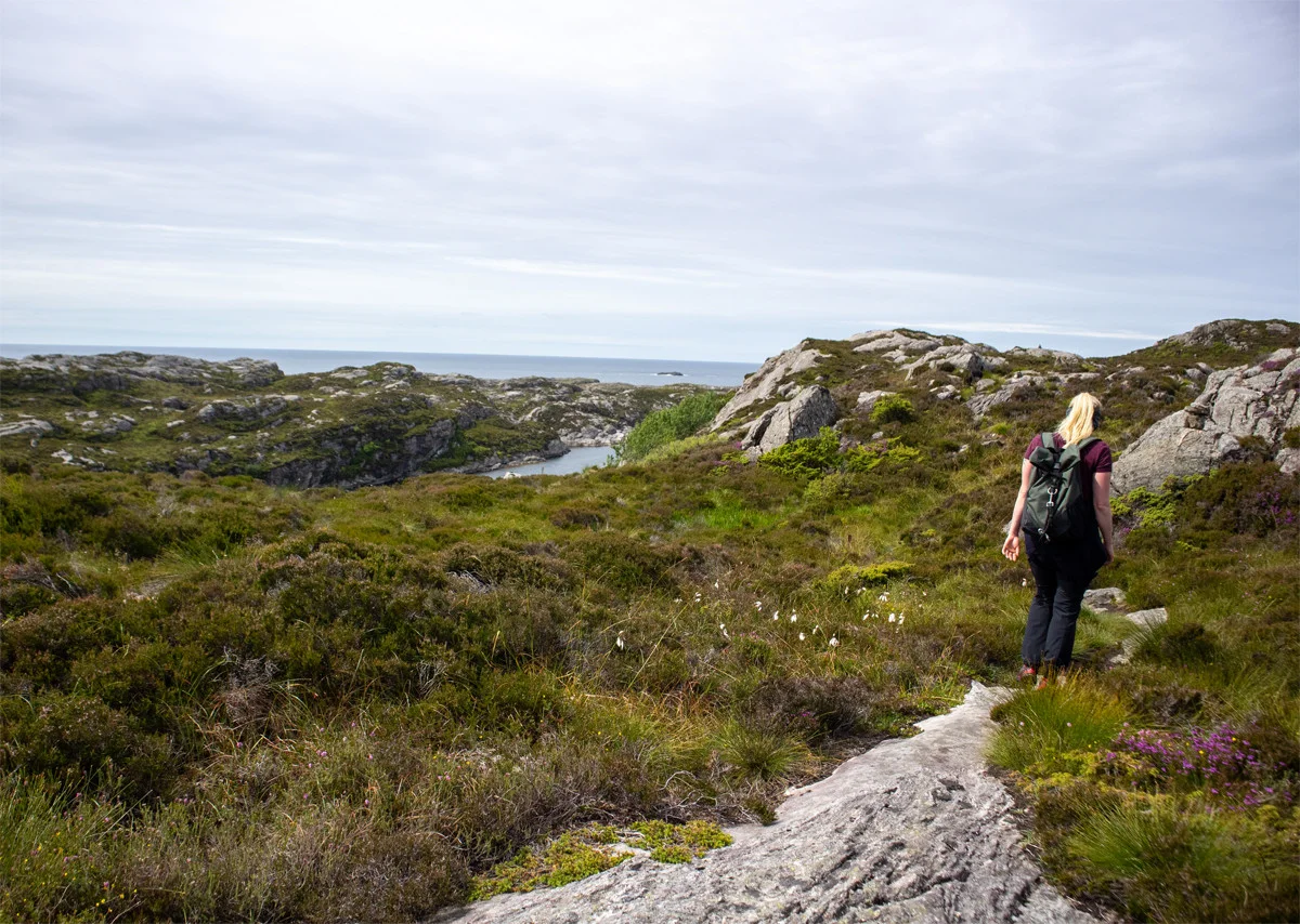
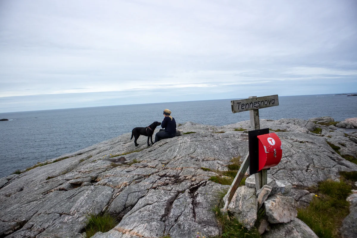
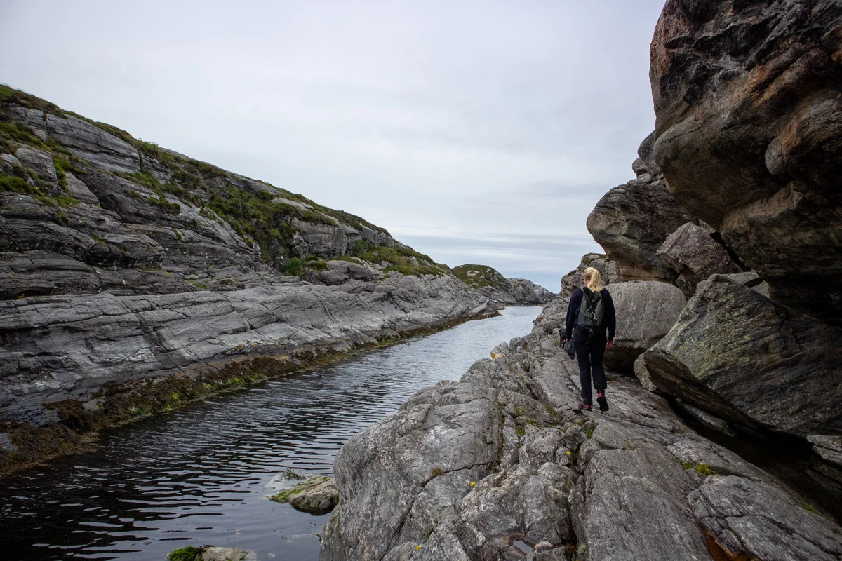
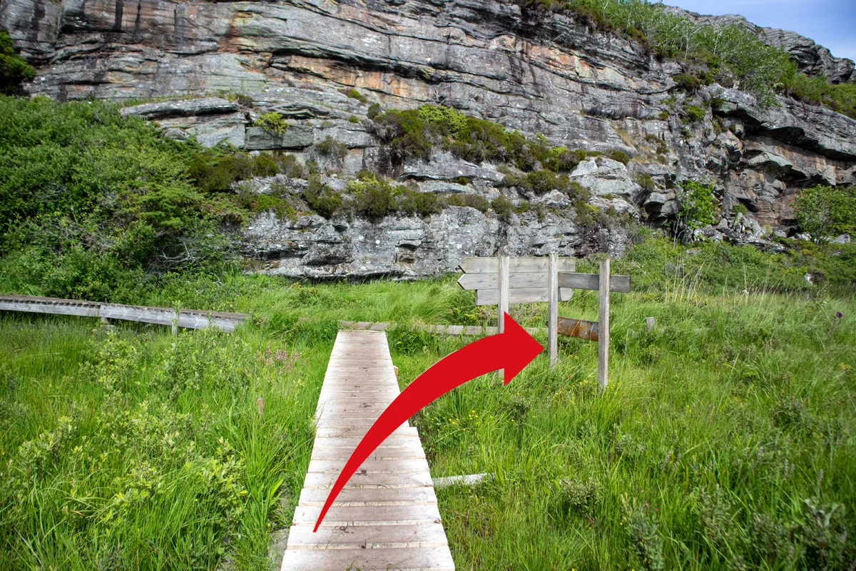
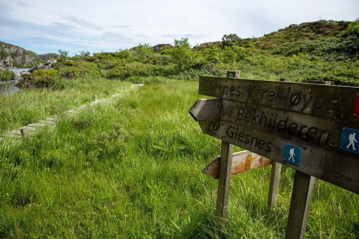
Hiking to Tenneset and round trip via Grunnevågen on Sotra

Photo: Admin
Information
Length: Approximately 10.5 km round trip.
Time: Approximately 4 hours.
Season: All year round. Winter.
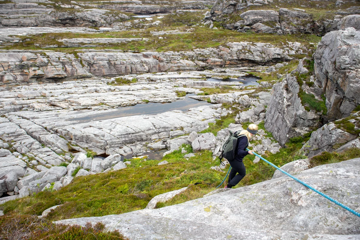
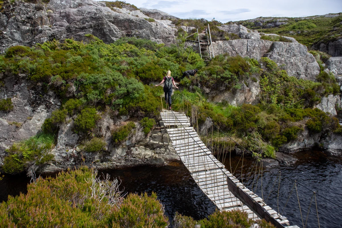
There are some sections with ropes so you have to watch out for ice in winter.
Time: Approximately 4 hours.
Season: All year round. Winter.
There are some sections with ropes so you have to watch out for ice in winter.

Processing elevation data.. .
You use GPX files that you download from our server 100% at your own risk.
Accommodation nearby


Hiking nearby


Hot
Distance
0.95 Km


