The GPX track is for guidance only and may contain errors. Use at your own risk.
– always check maps, weather and conditions before your trip.
From Bergen, drive towards Sotra. Drive past Straume and through the Kolltveitunnelen. Here, turn left towards Sund. Follow National Road 555 until you reach the sign (left side) marked Fjell Festning. Turn left and park in the parking lot at the entrance to the fortress road.
The walk begins at the parking lot. Follow Festningsveien for about 500 meters until you reach the sign marked Liatårnet.
Herfra går du til høyre. Like før skytebanen tar du av på stien til høyre. Herfra går turen bratt oppover. Det er laget til trapper og trebroer. Følg stien hele veien til toppen.
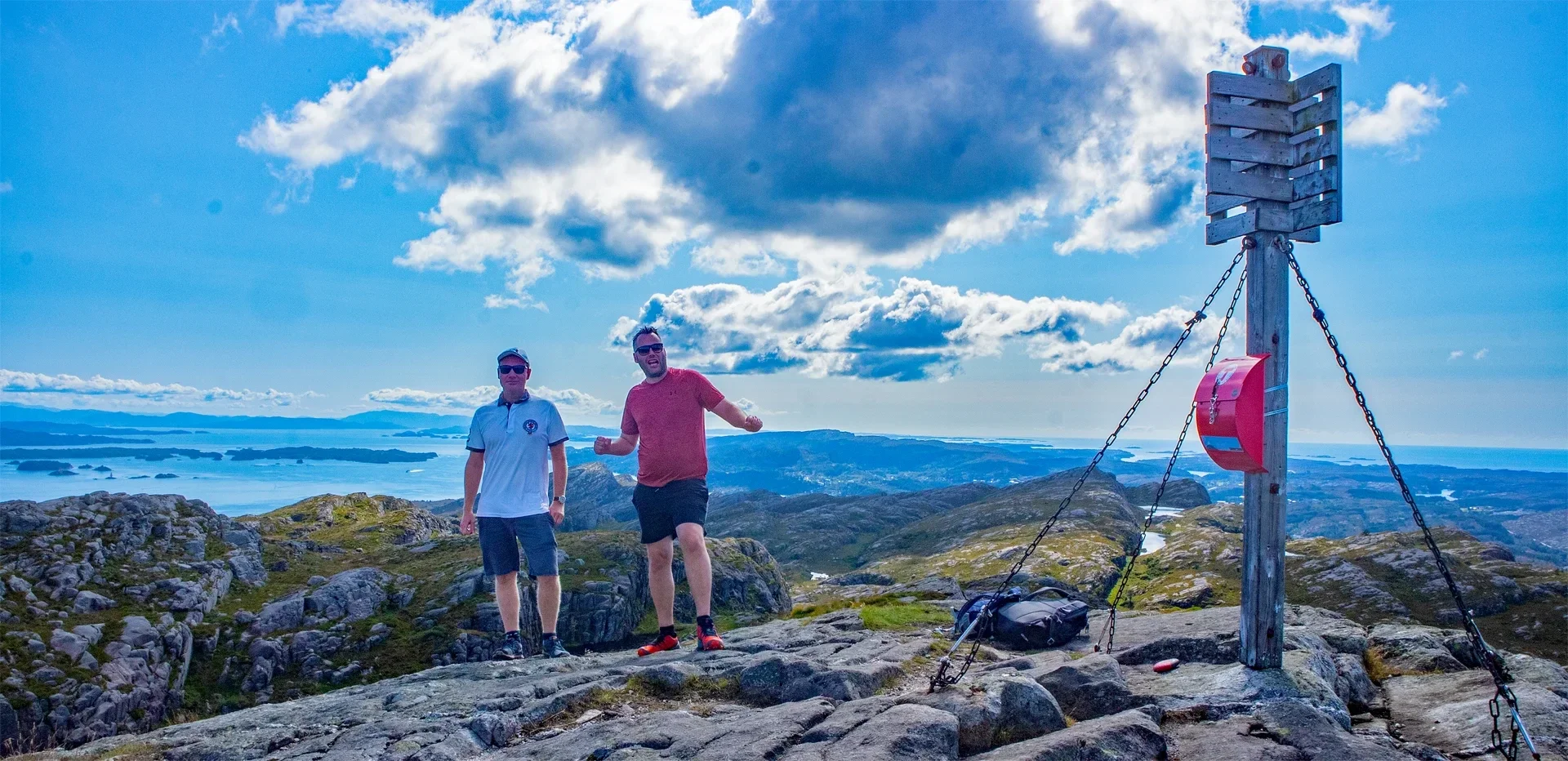
På toppen er det bok hvor du kan skrive navnet. Nyt utsikten. Om det blåser kan det vært surt på toppen, så kle deg etter været.
Go back the same way.