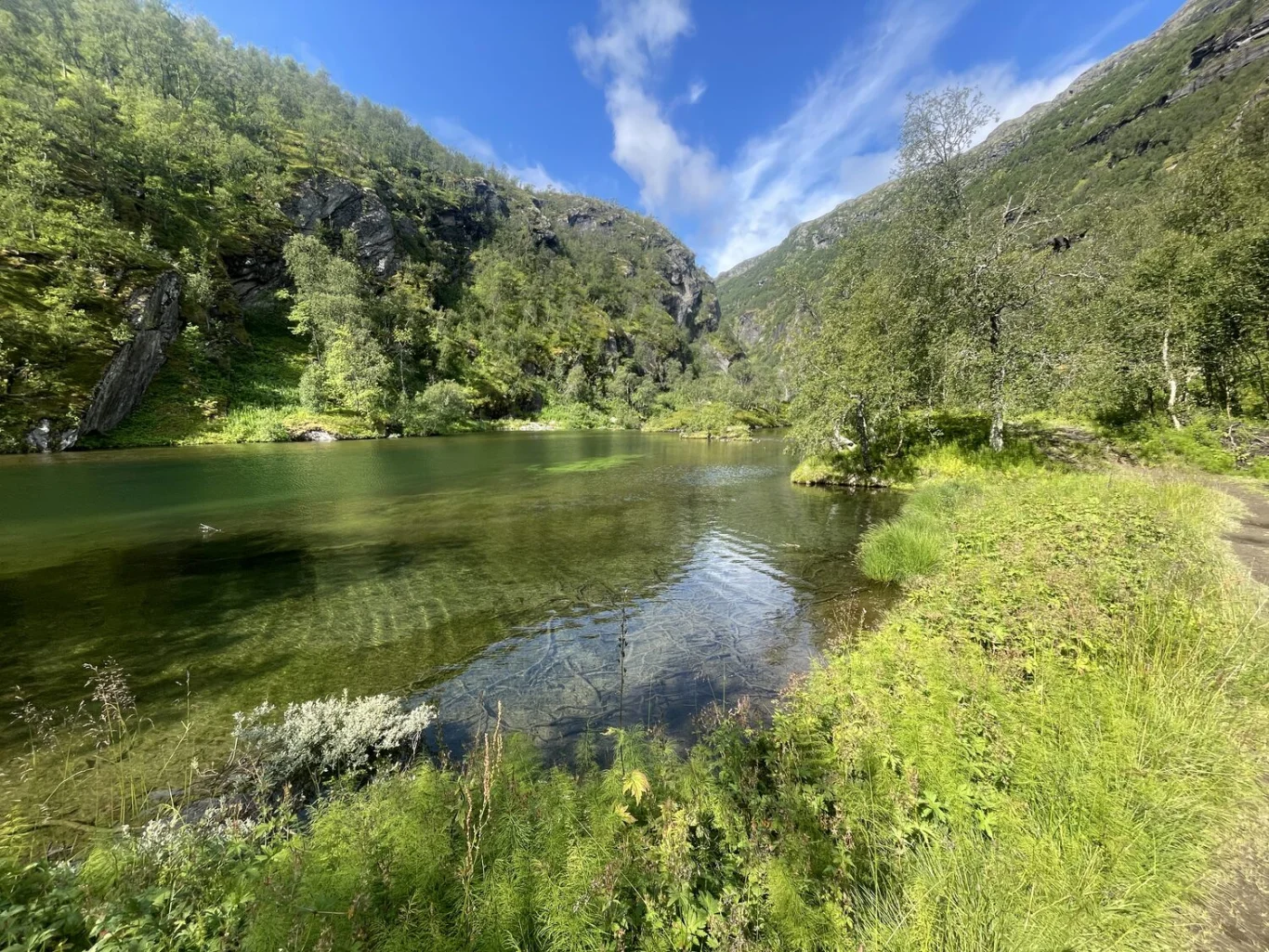
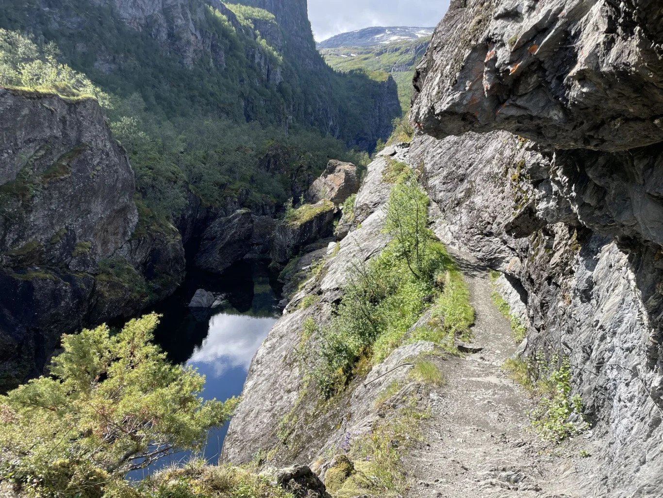
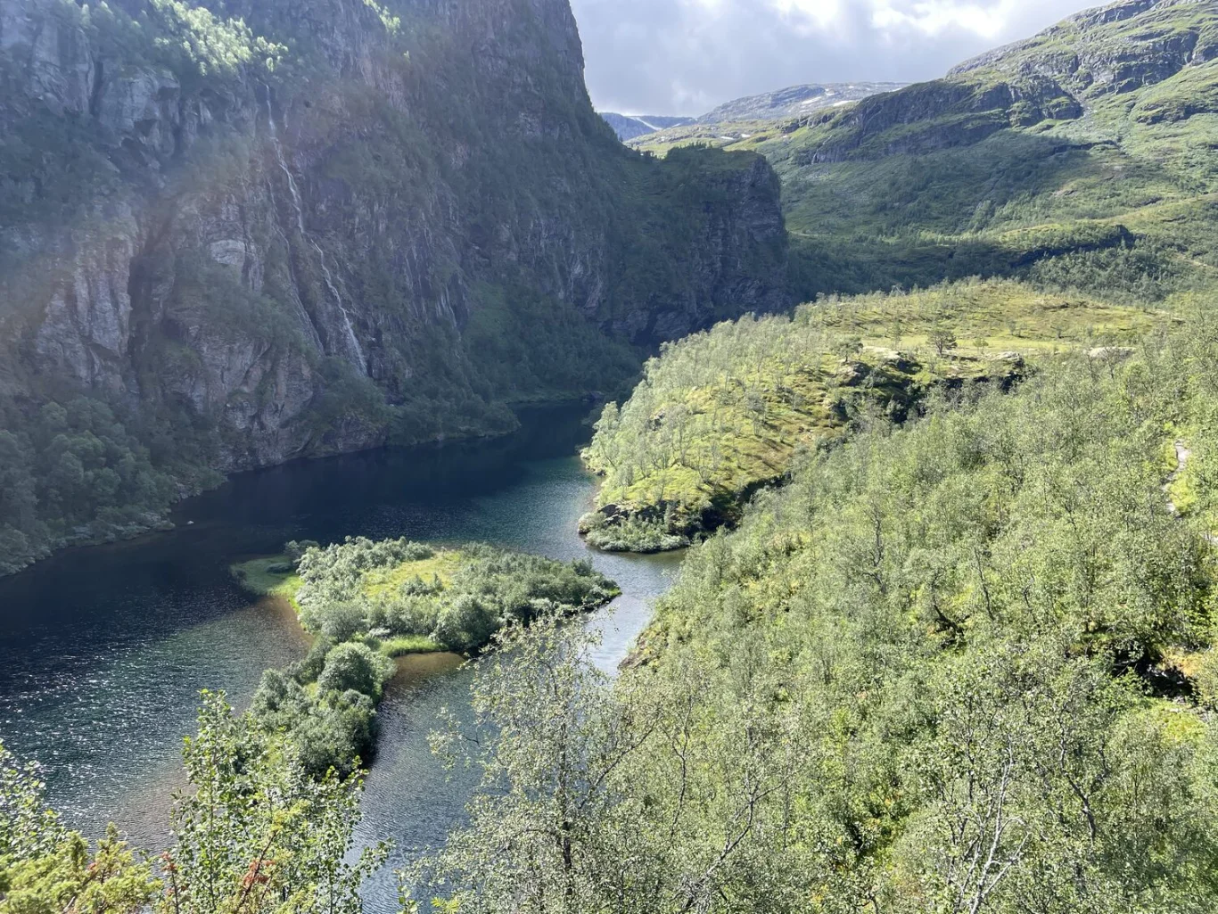
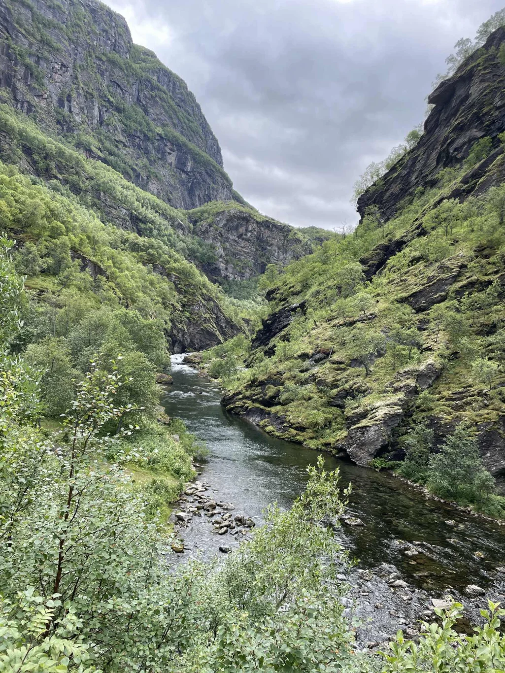
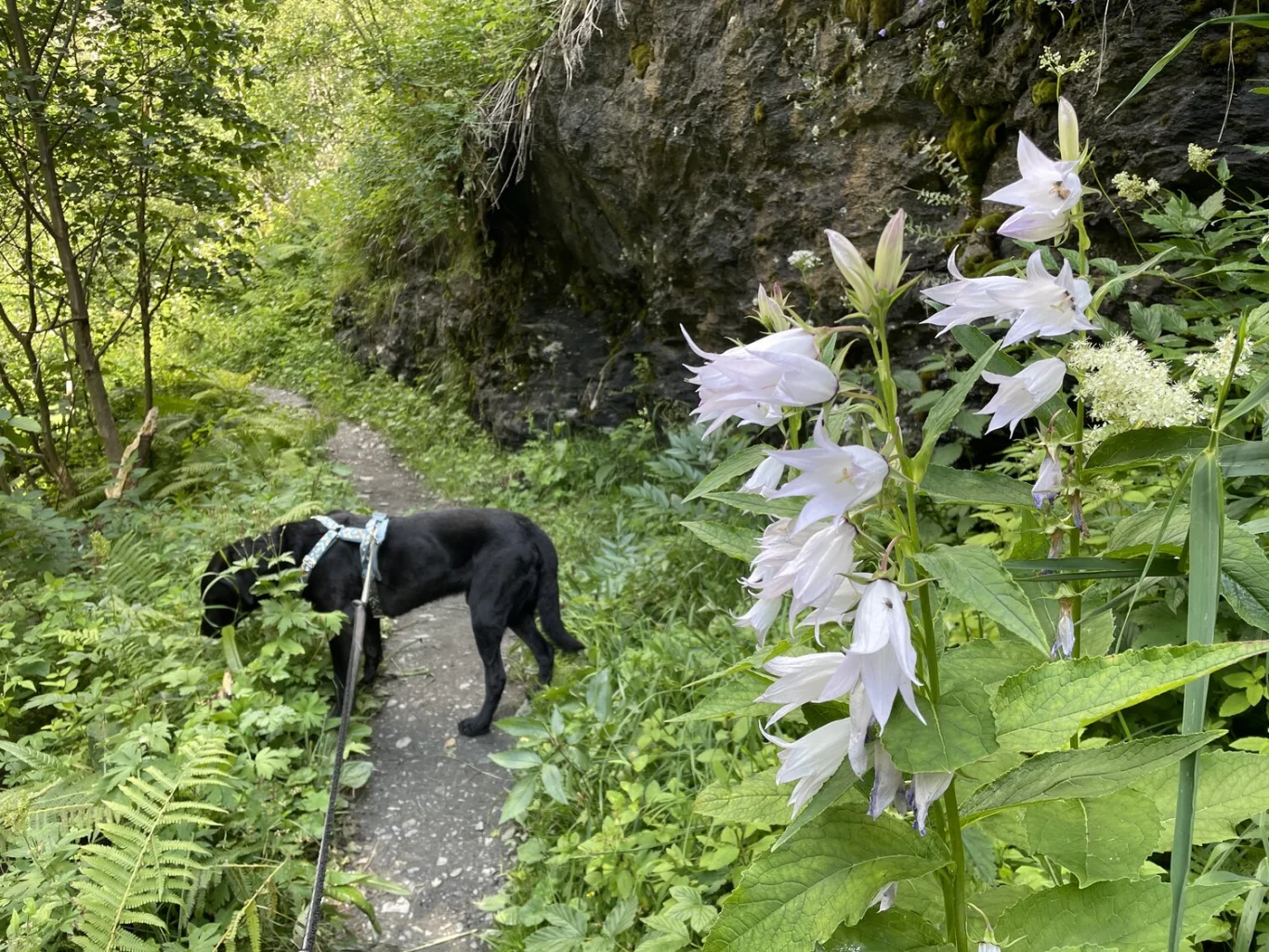
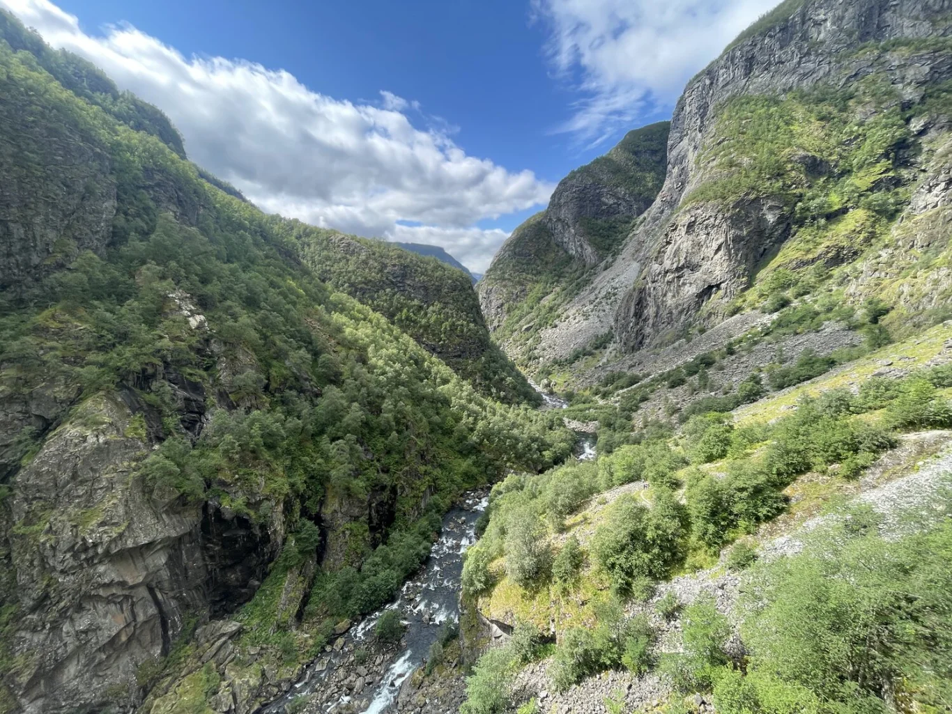
Hiking through Aurlandsdalen
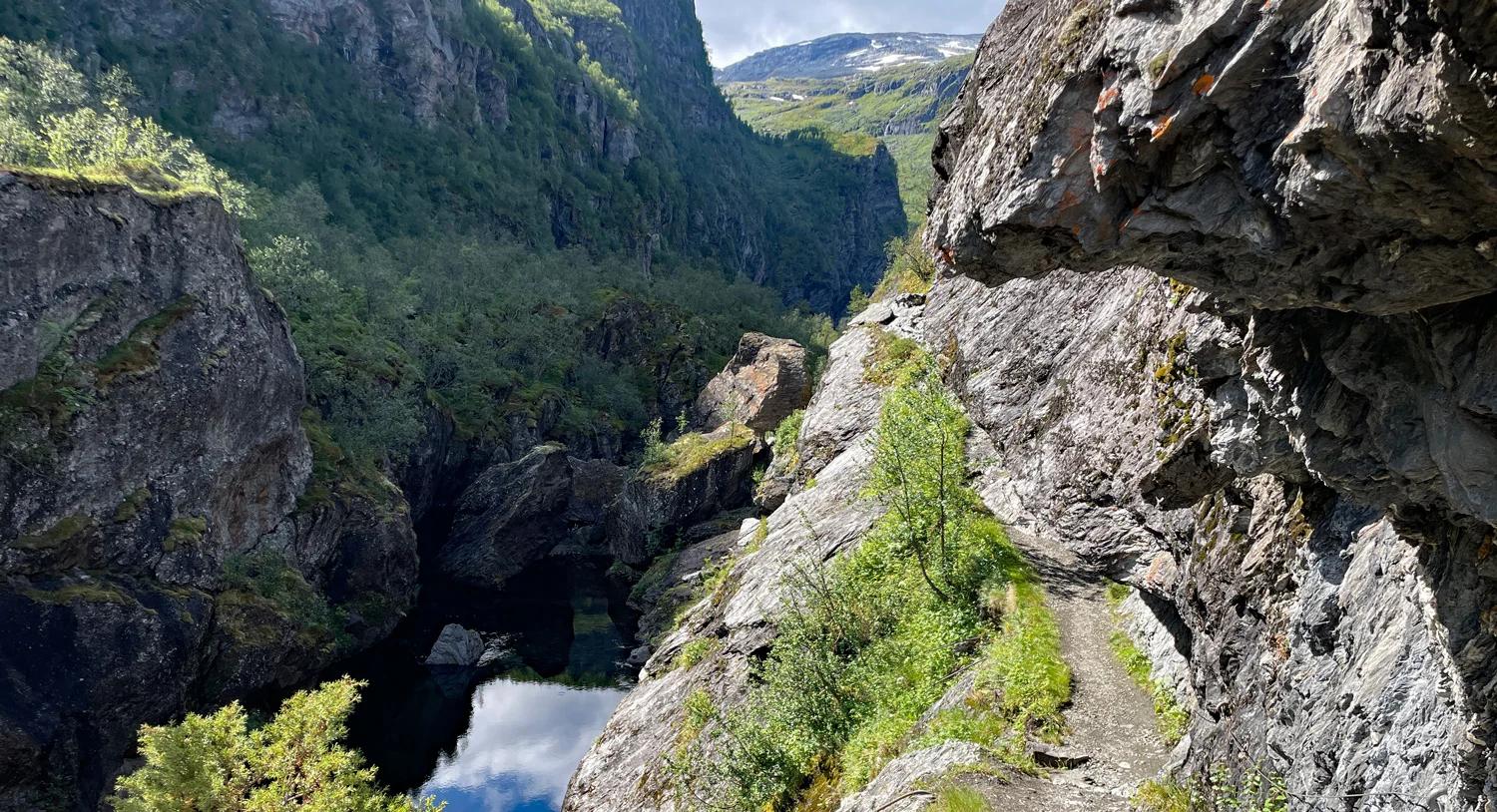
Photo: Jeanette E.

Processing elevation data.. .
You use GPX files that you download from our server 100% at your own risk.
Accommodation nearby


Hiking nearby


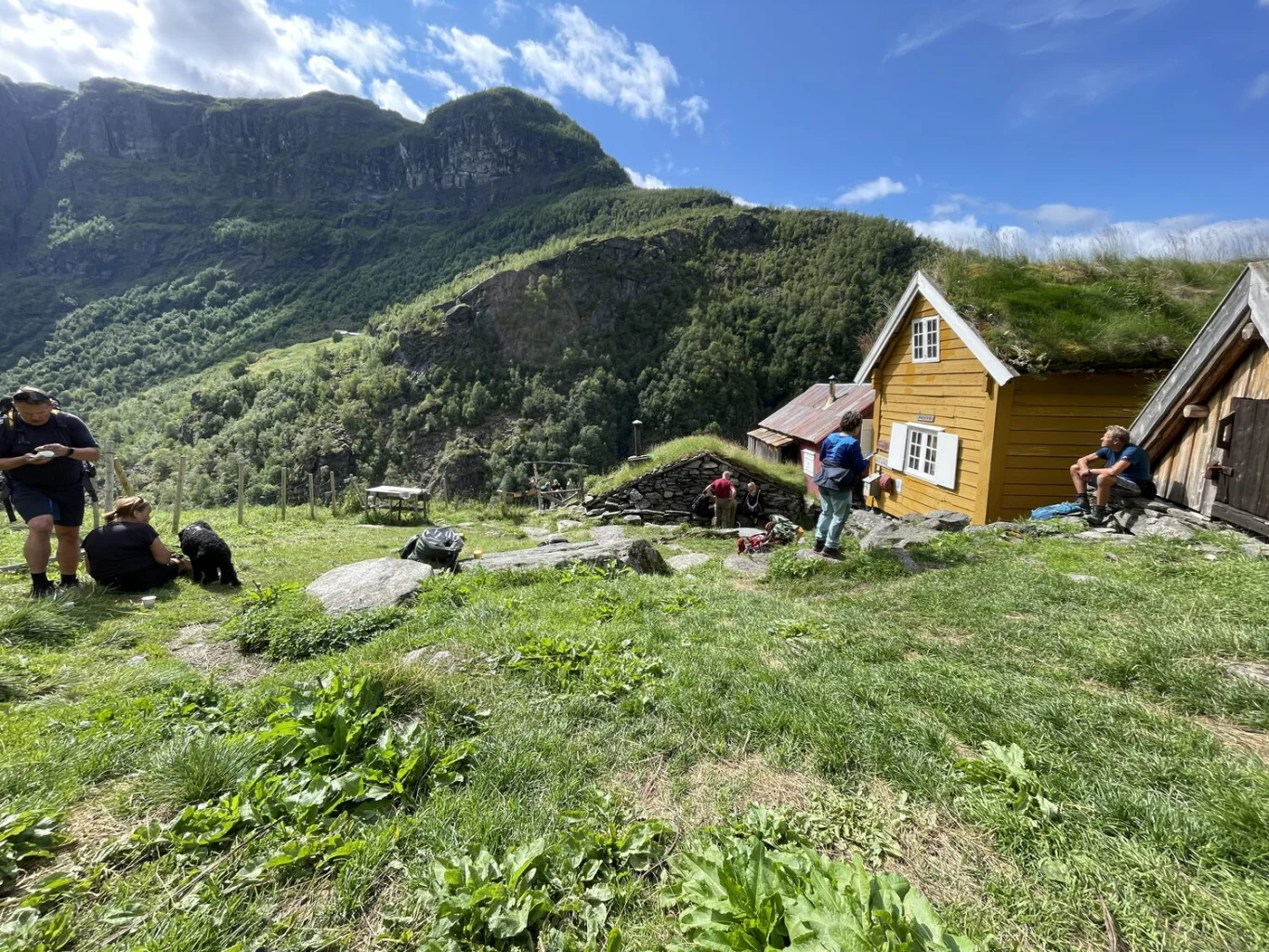
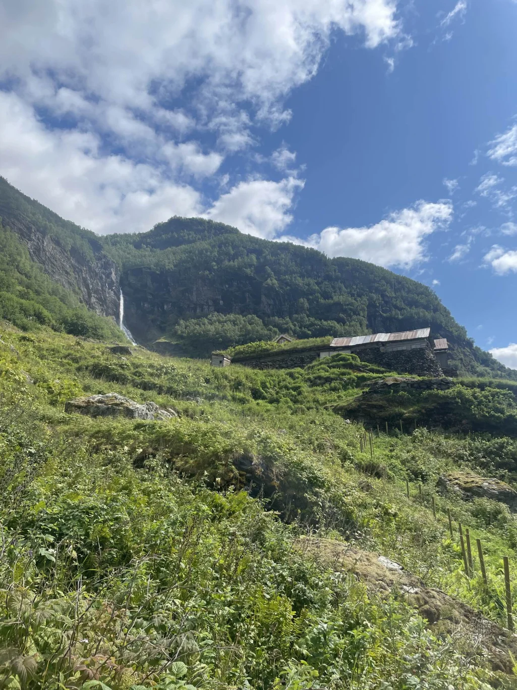
On a trip to the World Heritage Area, part 2: Grindaflethytta to Flåm - Aurland, Voss, Vestland
Premium
Distance
15.64 Km


Flåm Zipline is the longest zipline in the Nordic region - Activities - Aurland, Vestland
Activities
Distance
19.72 Km


