Short mountain hike to Dalstuva (336 m above sea level) on Reksteren

Kort fjelltur til Dalstuva (336 moh) på Reksteren
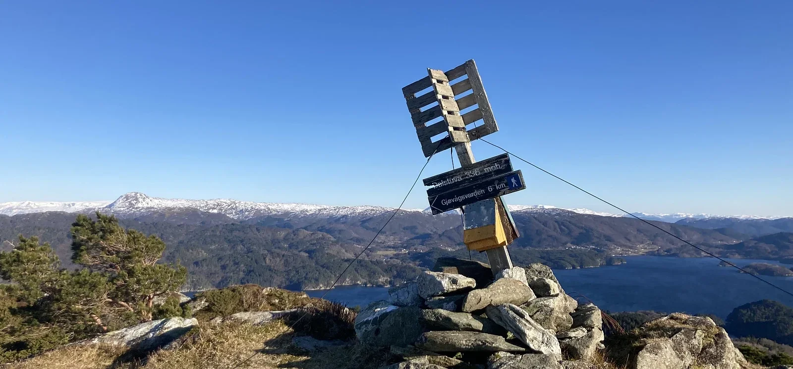
Photo: Trond O.

The GPX Track is for guidance only and may contain errors. Use at your own risk.
– always check maps, weather and conditions before your trip.

Access

Approx. 2 h 4 min (66.9 km) drive from Bergen city center including ferry time from Halhjem to Våge.

Parking

Small parking space along the road. Free.

Description

Short hike to the highest mountain on the island of Reksteren, which is part of the larger island of Tysnes.

There is a sign 'Dalstuva' at the start. Good and clear path to the top.  

Return the same way.

Information

Dalstuva (336m)
Length: Approximately 5 km round trip.
Time: Approximately 2 hours round trip.
Elevation gain: 349 meters.
Season: All year round.
Grading: Medium

Processing elevation data.. .

You use GPX files that you download from our server 100% at your own risk.

Accommodation nearby

Hiking nearby