The GPX Track is for guidance only and may contain errors. Use at your own risk.
– always check maps, weather and conditions before your trip.
The most famous hike in Tysnes goes to the mountain Tysnessåta. This trail goes from Haaheim Gaard. The hike starts at the hotel. The first part is on a gravel road. Then onto a path. It takes you to Gjerdastølen.
From Gjerstadstølen the path leads northeast. This is a gentle section before it goes steeply up. Just before the summit you come to a crossroads where you should go left. Then follow the path to the summit.
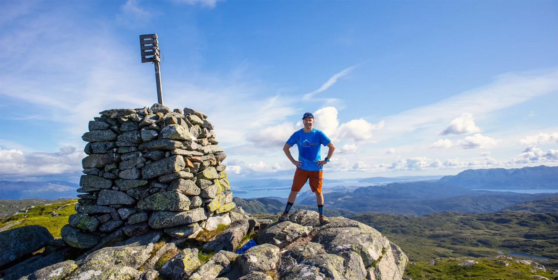
At the top there are views in all directions. You can see the Rosendal Alps, the windmills at Fitjar. If you look north, you can also see some of the city mountains.
Return the same way.