Tindane (596 m) from Vistvik in Stord
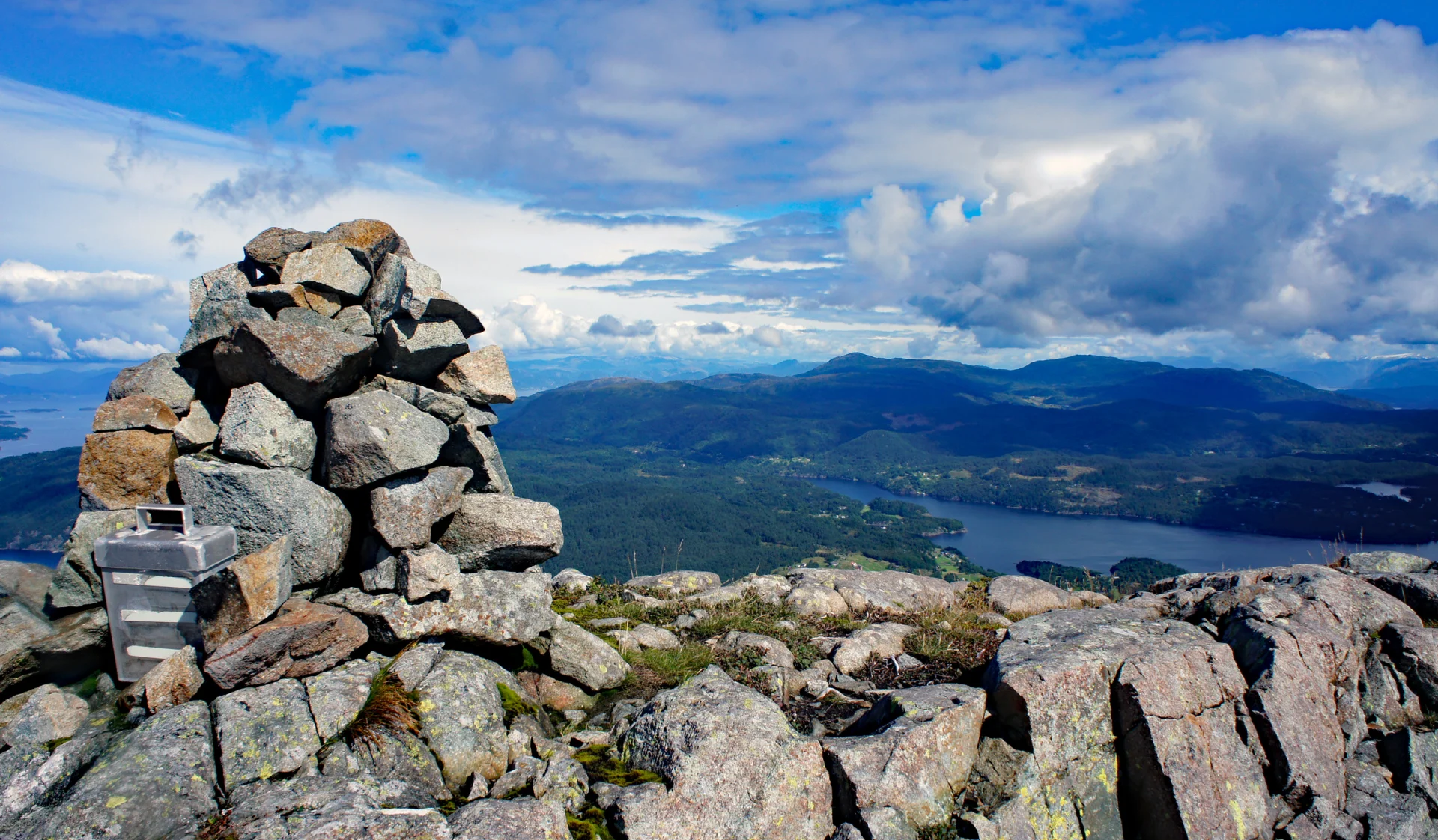
Tindane (596 moh) fra Vistvik på Stord
Photo: Admin

The GPX Track is for guidance only and may contain errors. Use at your own risk.
– always check maps, weather and conditions before your trip.

Access

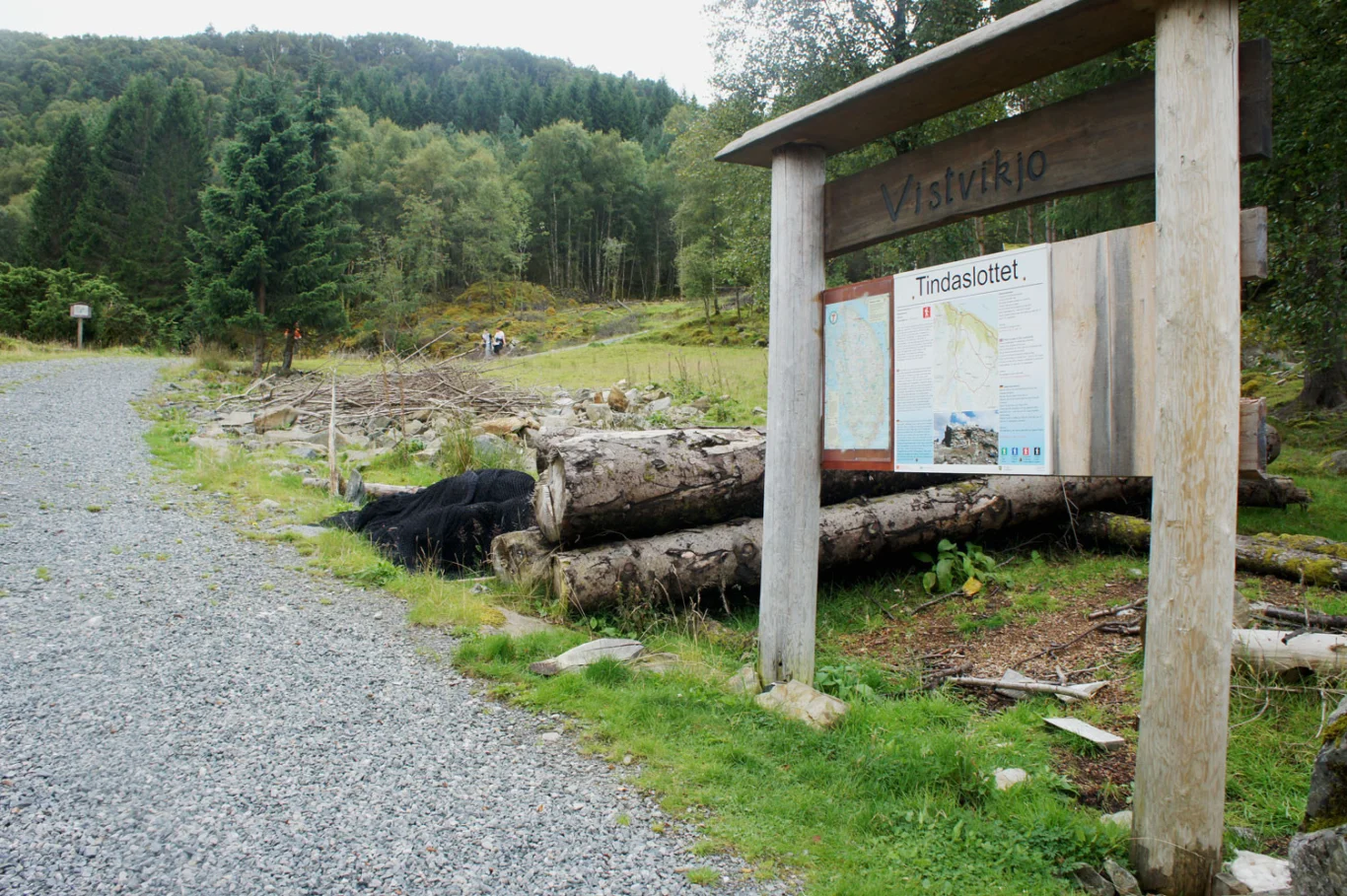
Drive to Halhjem to take the ferry to Stord. Follow the main road south for about 10 minutes until you reach Vistvik. There is a large parking lot for tourists (right side).

Parking

Free parking at Vistvik.

Description

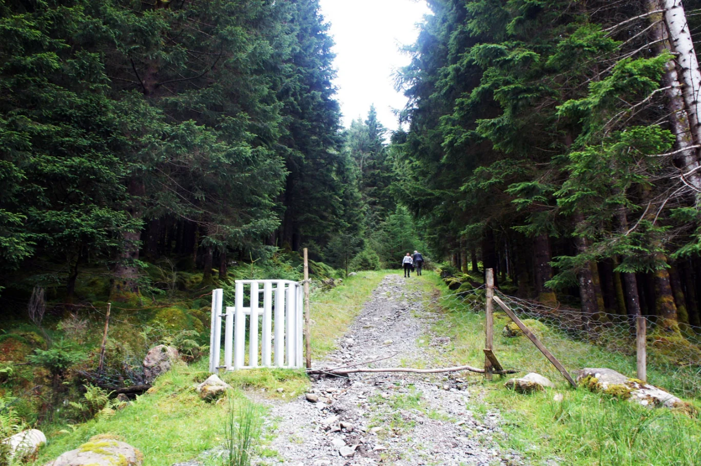
Follow the forest road upwards, through a gate and further up a steep hill.

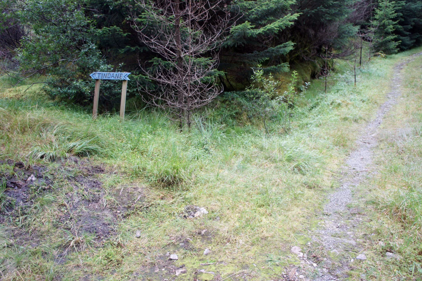
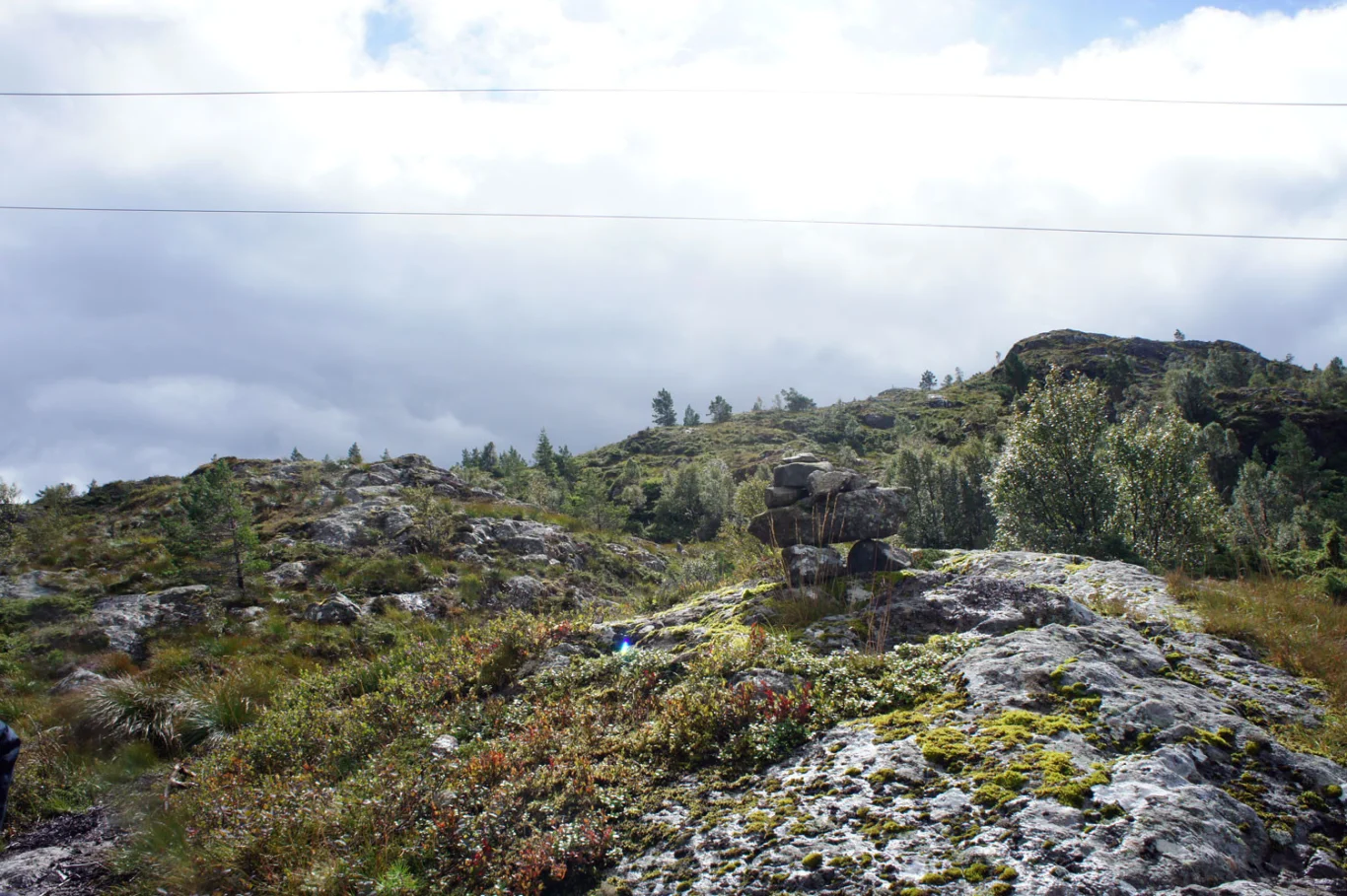
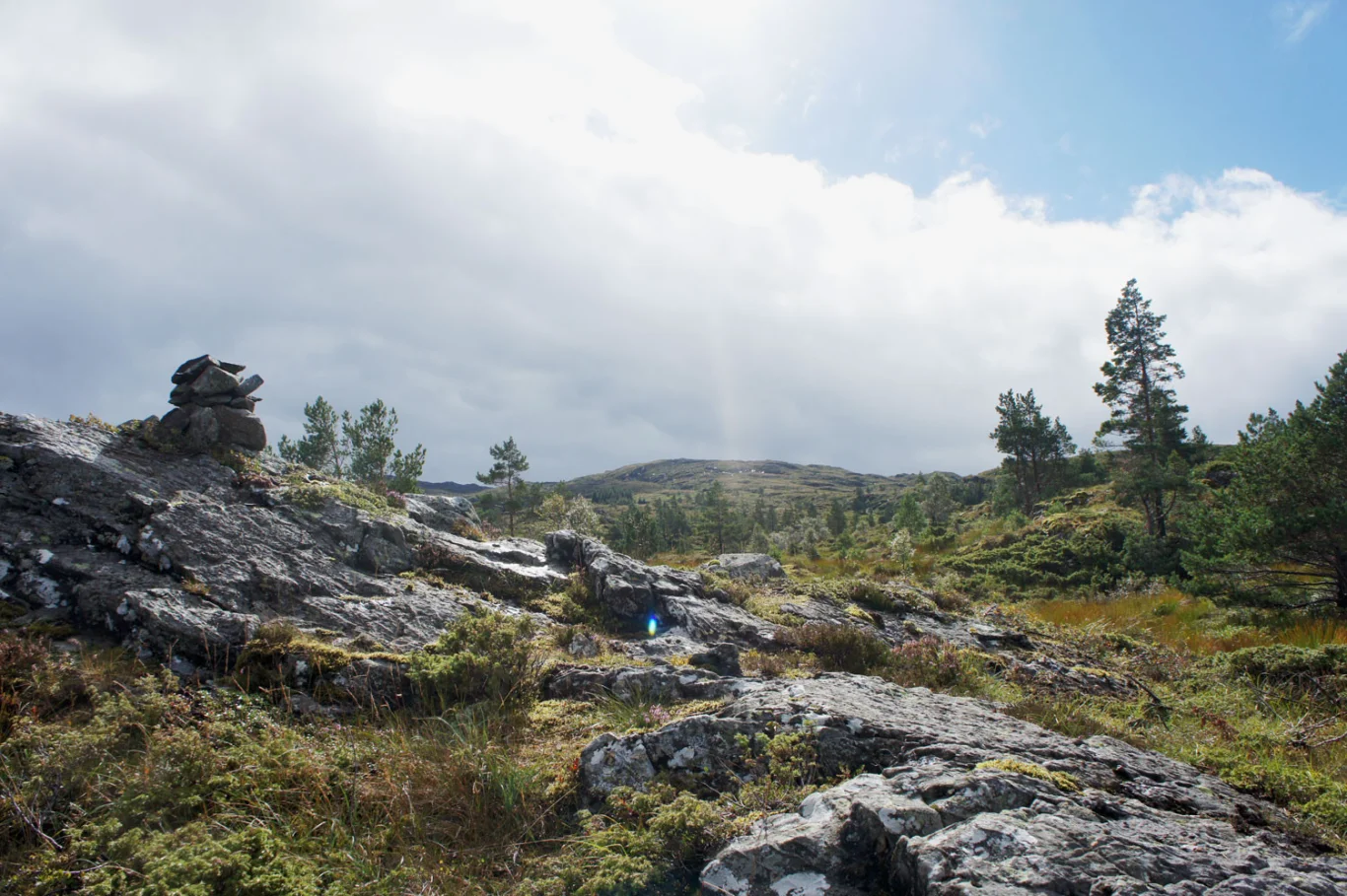
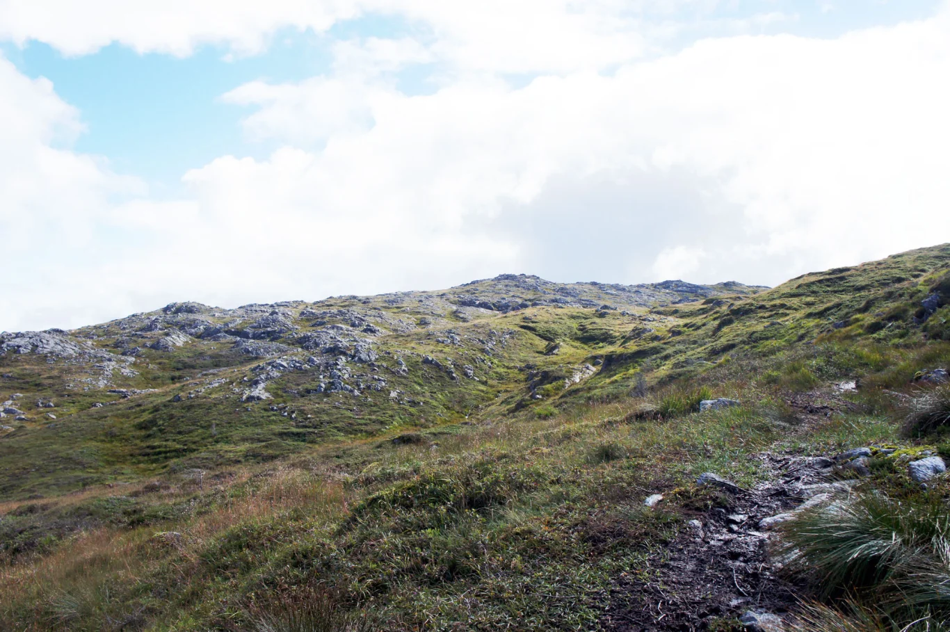
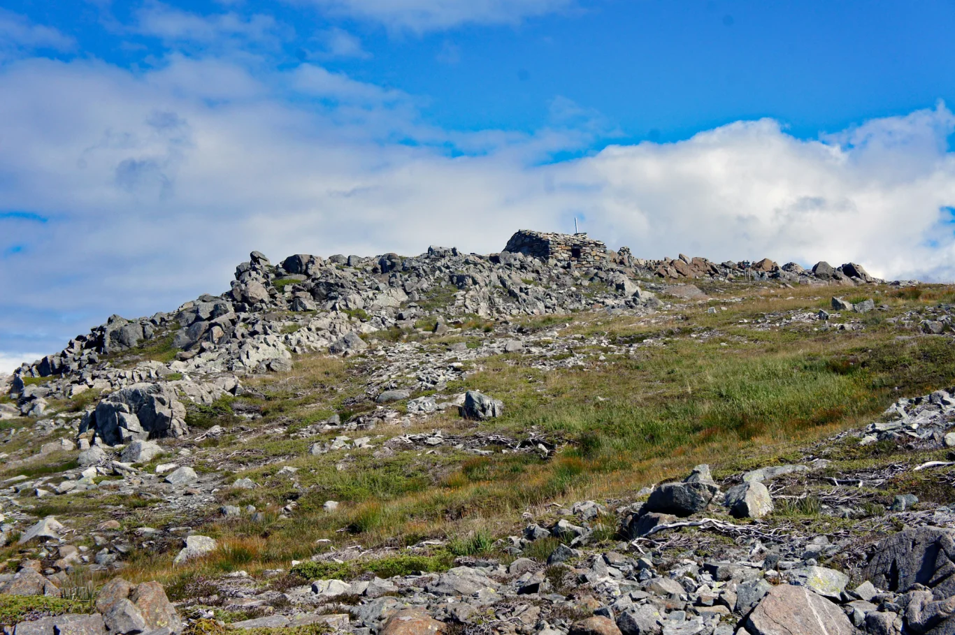
After a while you will see a sign on the left marked 'Tindaene'. Follow this path south through dense spruce forest and later over marshy terrain. Then the terrain is open. It is well marked all the way with blue markers and small cairns. You can see the summit from a long Distance . The last part is on rocky ground.

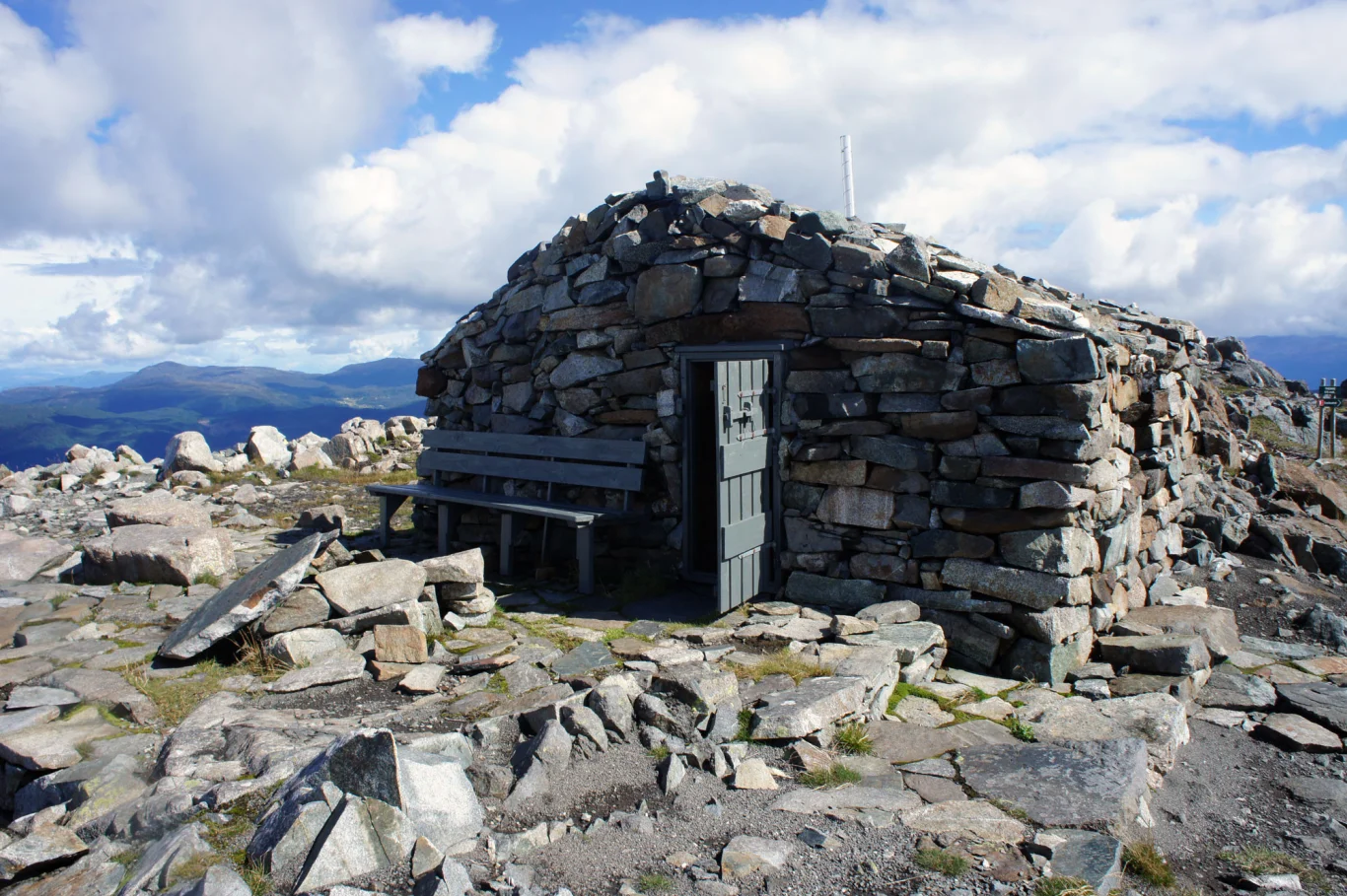
På toppen er det en varde med bok. Her ligger også Tindaslottet. En flott steinhytte hvor du kan overnatte. Fra toppen har du 360 grader utsikt over hele Sunnhordaland.

Go back the same way. For a longer hike, you can continue via Grønafjellet and further down onto the path from Mehammersåto towards Fitjar.

Information

The peaks (596 m.)
Length: approx. 9 km round trip
Time: about 4-6 hours round trip
Season: All year round. Skiing in winter.
Large parking lot along the main road
Grading: Medium

Processing elevation data.. .

You use GPX files that you download from our server 100% at your own risk.

Accommodation nearby

Hiking nearby