
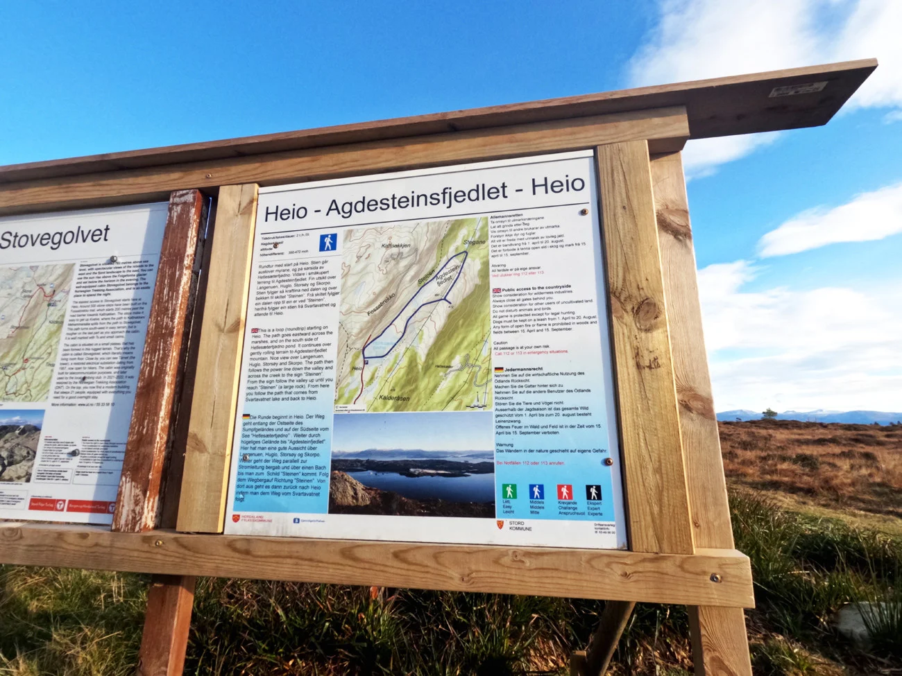
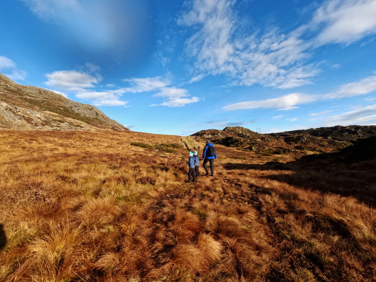
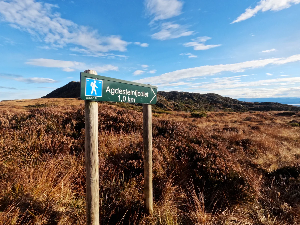
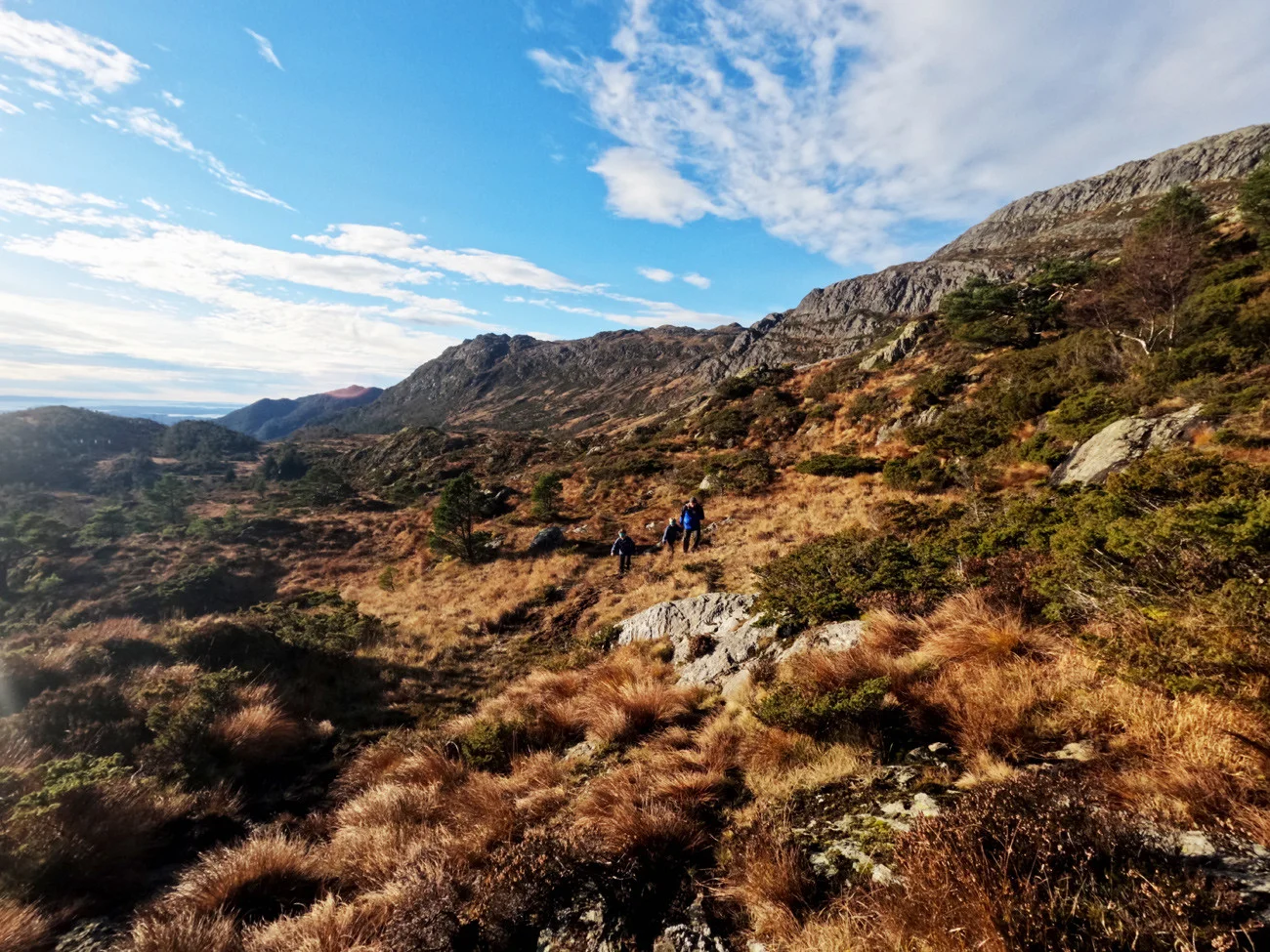
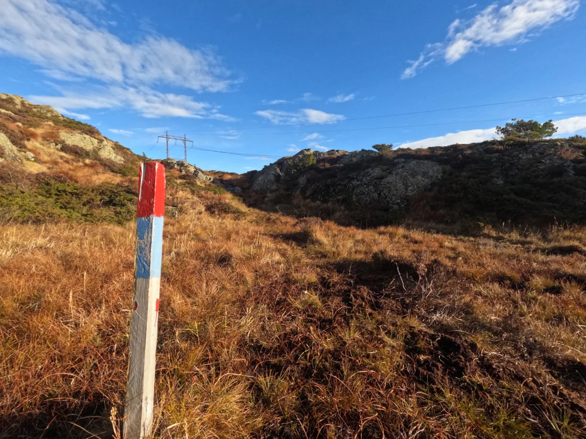
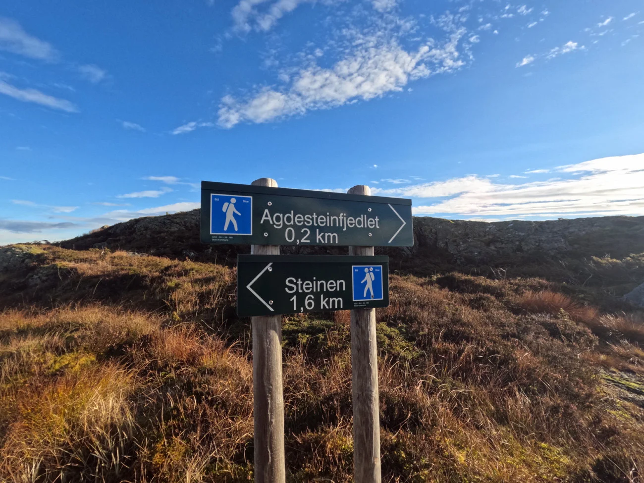
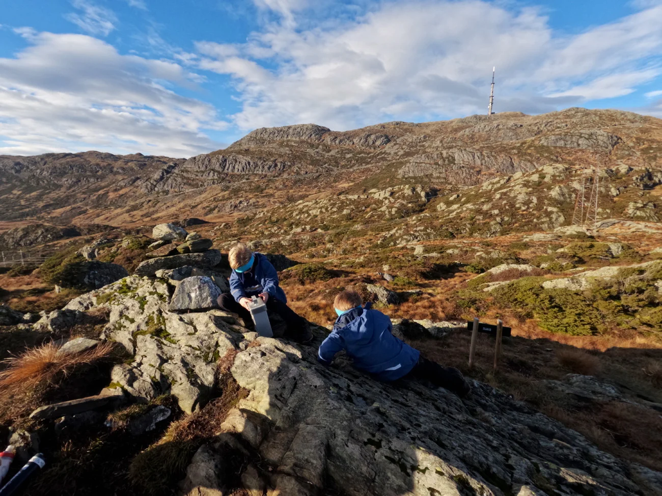
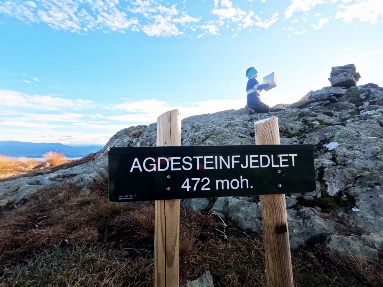
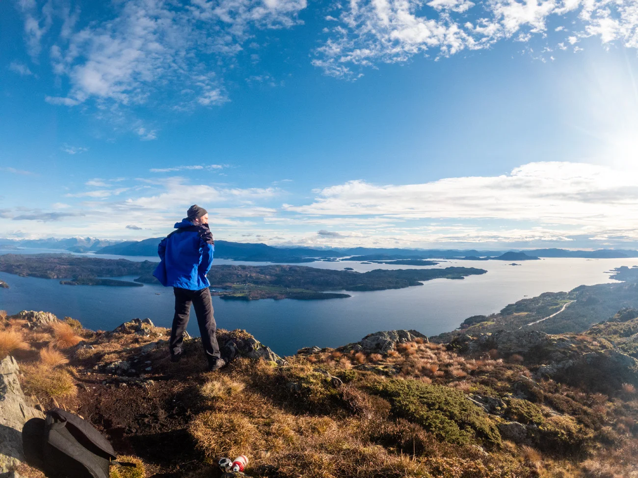
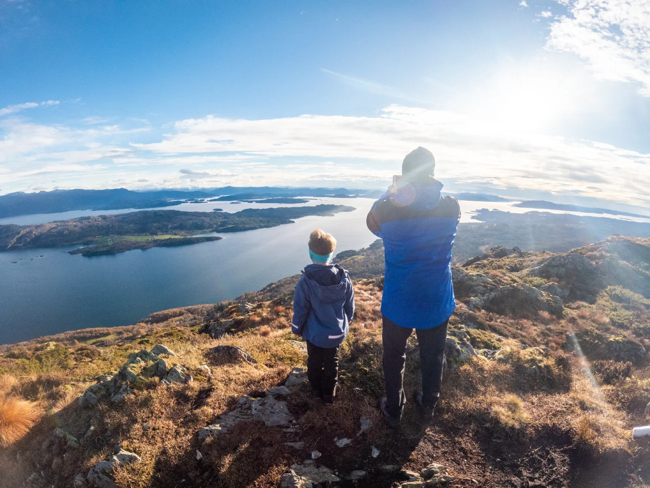
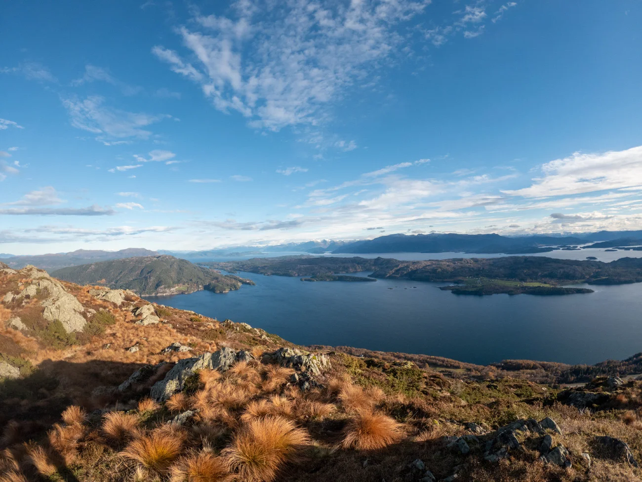
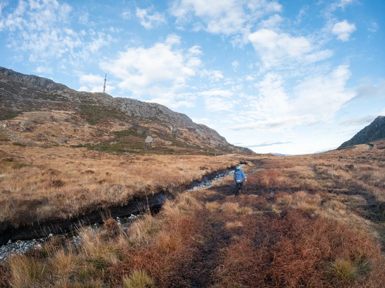
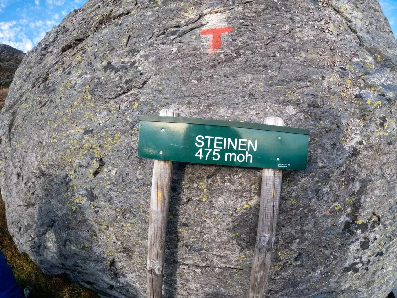
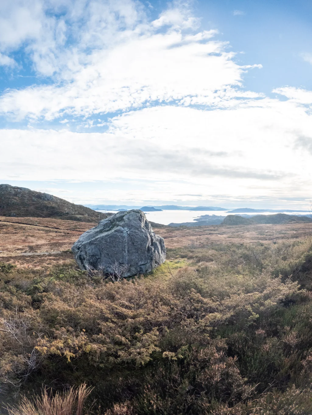
Hiking to Agdesteinfjellet (472 m) in Stord
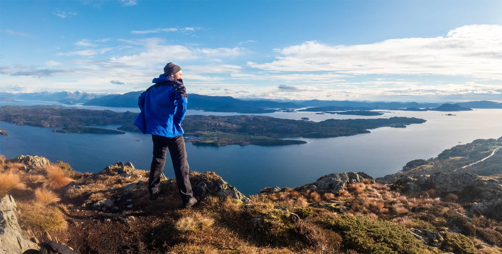
Vandretur til Agdesteinfjellet (472 moh) på Stord
Photo: Admin

The GPX Track is for guidance only and may contain errors. Use at your own risk.
– always check maps, weather and conditions before your trip.

Access

Approximately 2 hours 15 minutes (81.1 km) drive from Bergen city center.

Parking

Free tour parking.

Description

The hike to Agdesteinfjellet (Agdesteinfjedlet) in Stord starts with the hiking park at Heio.

This is a large parking lot that is the starting point for many hikes in Stordfjellet - Kattnakken, Stovegolvet and Mehammarsåta.

At the end of the parking lot there is a sign on the right marked 'Steinen'. Go here and follow the road/path on the left side of the bog. It is boggy here, so go on the right side of the road. Follow the road through slightly hilly terrain until you reach a sign on the right marked 'Agdesteinfjedlet'. Follow this path over bogs and knolls. It is marked with red painted logs. New sign marked 'Agdesteinfjedlet' on the right. From here it is approx. 100 meters to the viewpoint.  

Panoramic view of Langenuen fjord. In the Distance you see the large Kvinnherad mountains and Folgefonna. There is a mini cairn and mailbox at the top.

On the return trip, it is recommended to take a walk beyond 'The Rock'. It is signposted and you can see it from a Distance . It is a gigantic rock that stands alone. There are benches here and there is a nice view of the fjord.

Information

Length: Approximately 3.5 km round trip
Time: 1-2 hours round trip
Elevation gain: 138 meters
Season: All year round
Grading: Simple

Processing elevation data.. .

You use GPX files that you download from our server 100% at your own risk.

Accommodation nearby

Hiking nearby