
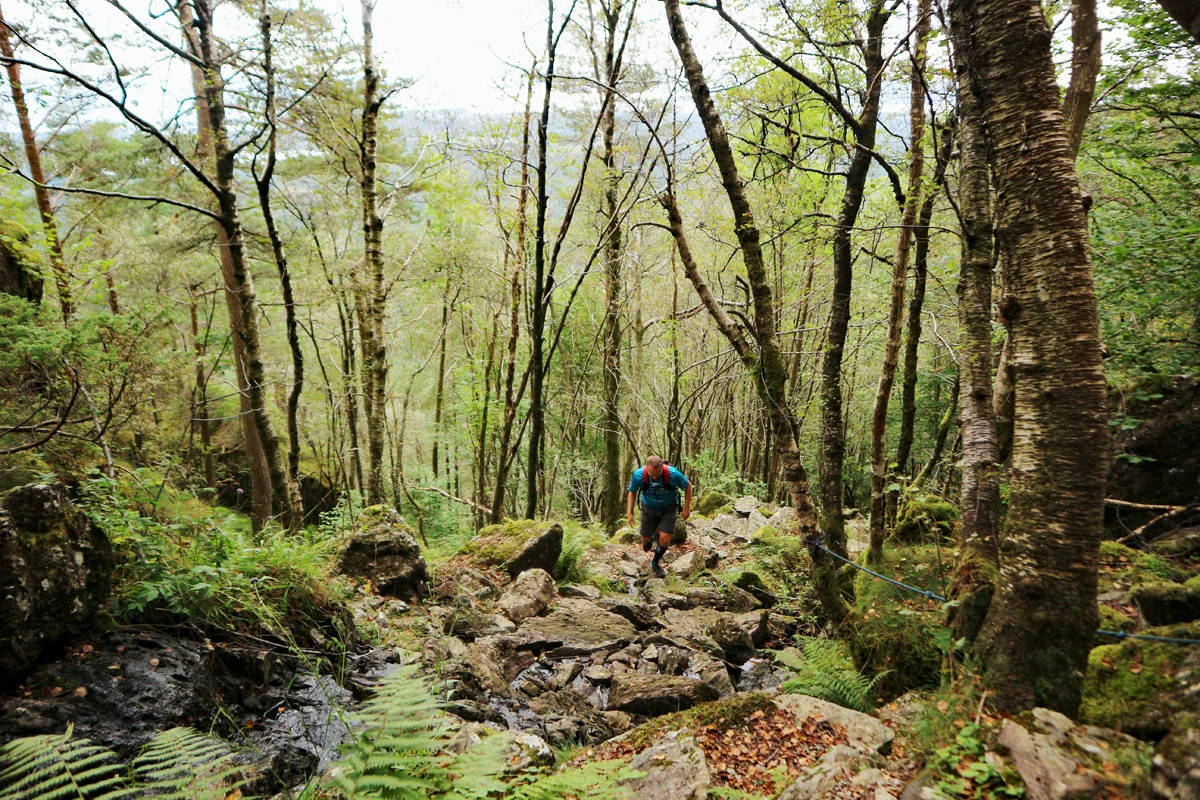
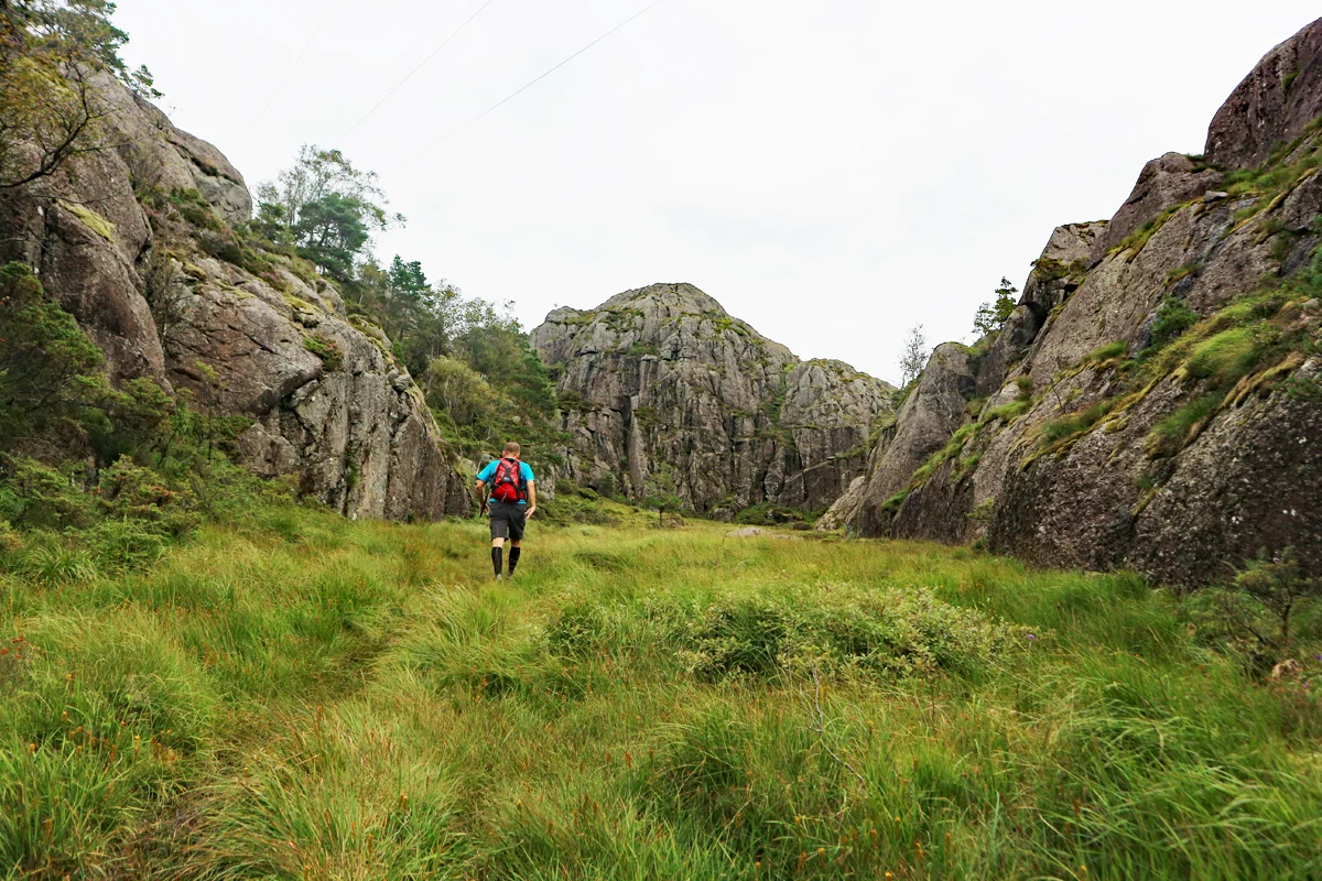
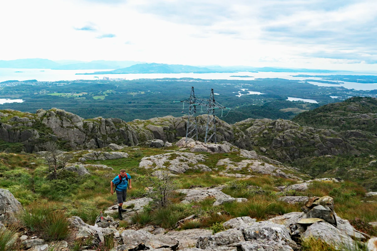
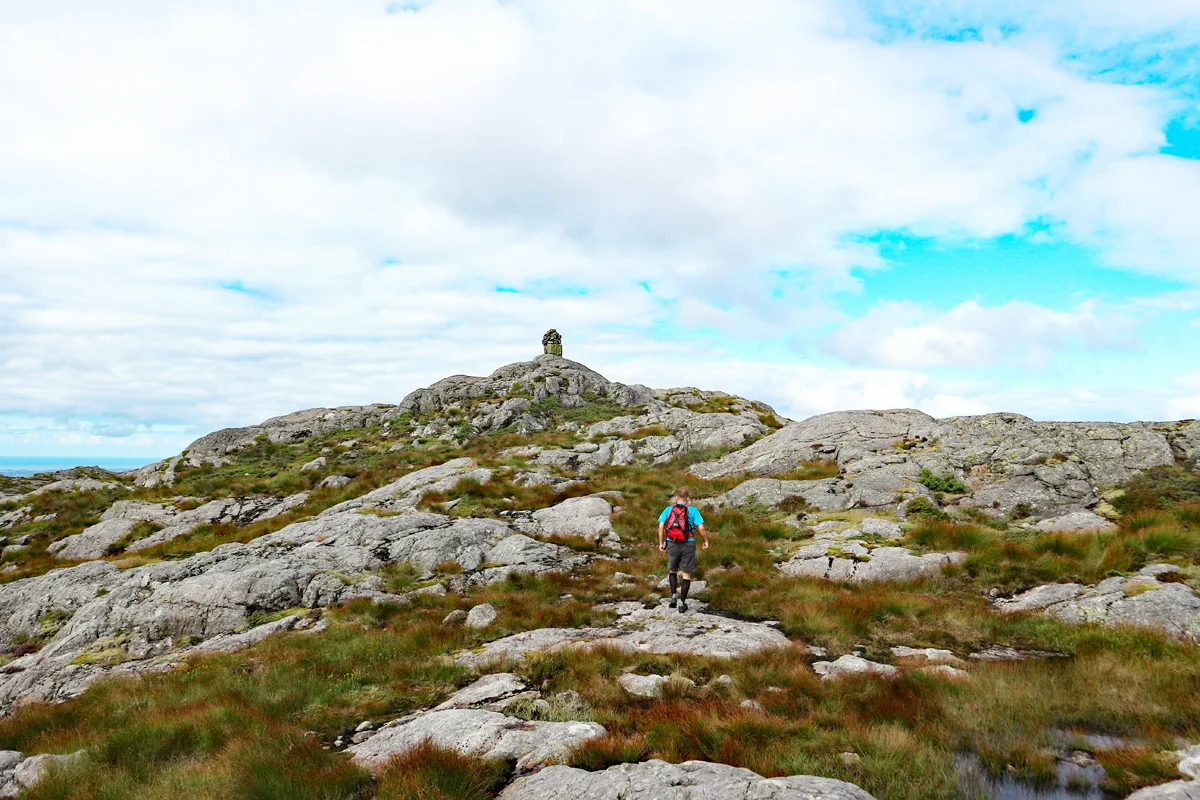
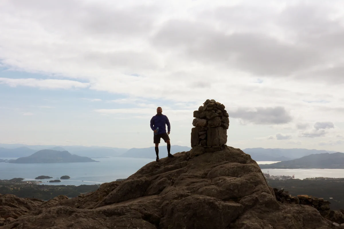
Mountain hike to Mennene (501 m) in Stord
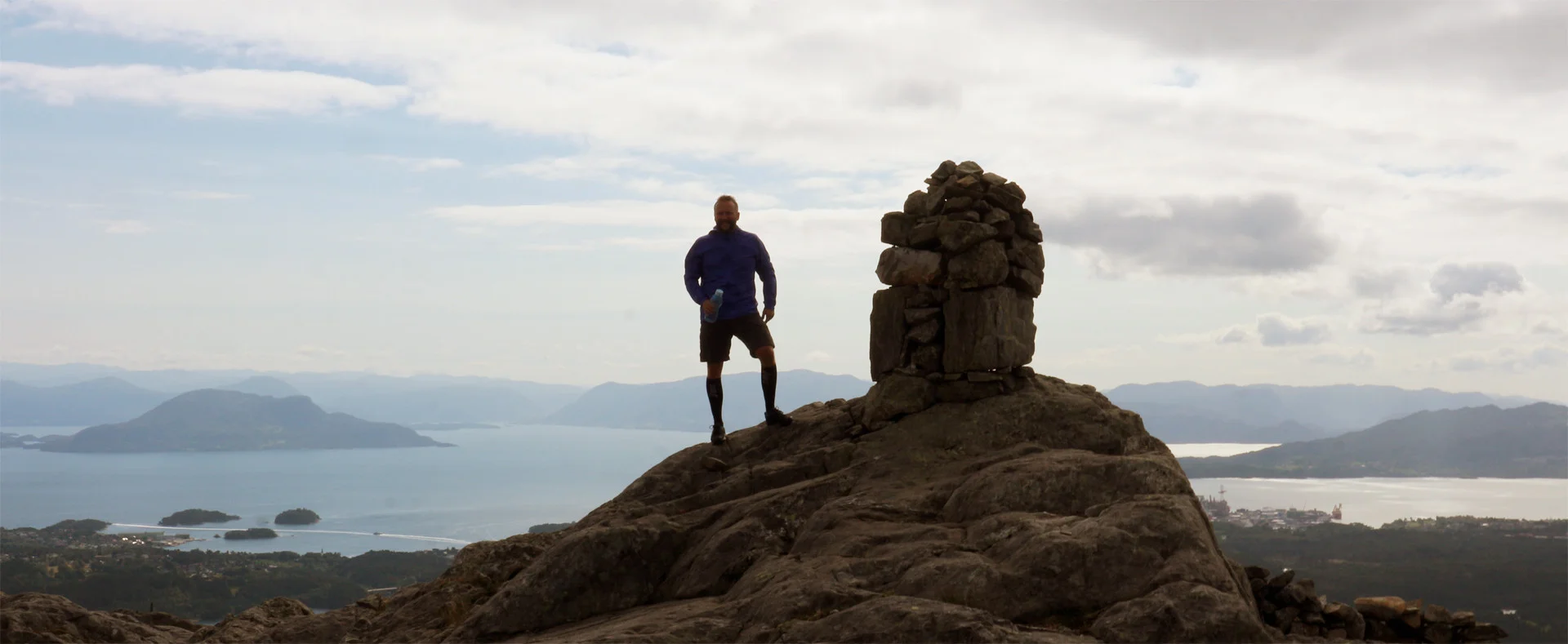
Fjelltur til Mennene (501 moh) på Stord
Photo: Admin

The GPX Track is for guidance only and may contain errors. Use at your own risk.
– always check maps, weather and conditions before your trip.

Access

Approx. 2 h 26 min (86.8 km) drive from Bergen via E39. Time includes the Stord ferry.

Parking

Free parking in the bend at the start. If it's full here, you can park further down in the large space.  

Description

This is a mountain hike that offers great fjord views over Sunnhordland.

Follow the forest road into the forest and past the open space. From there, the forest road continues a few hundred meters northeast before turning onto a path. Follow the path and cross the bridge over the river. The terrain is flat and the path is good. The path now leads into the forest under the high-voltage line and then on the left side under it.

You will now come to a new crossroads where you should go straight ahead, following the sign 'Mennene 2.3 km'. The path now leads you up Bjørnastegen. This is a steep pile of rocks where you have to climb in some places. Ropes have been laid out in the worst places.

When you finish Bjørnastegen the terrain flattens out, and you enter a terrain that can be called Stord's answer to the Grand Canyon. Go to the cabin and then continue on the path to the right. Follow the path up into the large bog that is surrounded by gigantic cliffs. It can be reminiscent of a large outdoor stage.  

The path continues on the left side upwards, and you will now pass the tree line. You will now have a nice view of the fjord. Follow the path marked with small stone cairns until you see the summit cairn on the left side.  

Go to the cairn. Here you have a panoramic view of Sunnhordland. Write your name in the book and return the same way.

Have a good trip!

Information

Length: Approximately 8 km round trip.
Time: Approximately 2-3 hours round trip.
Elevation gain: approximately 470 meters.
Grading: Medium

Processing elevation data.. .

You use GPX files that you download from our server 100% at your own risk.

Accommodation nearby

Hiking nearby