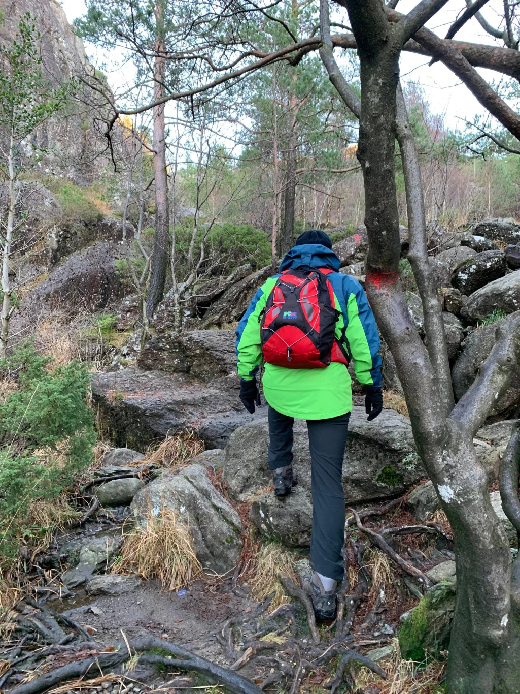
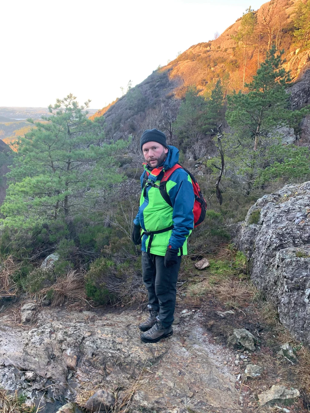
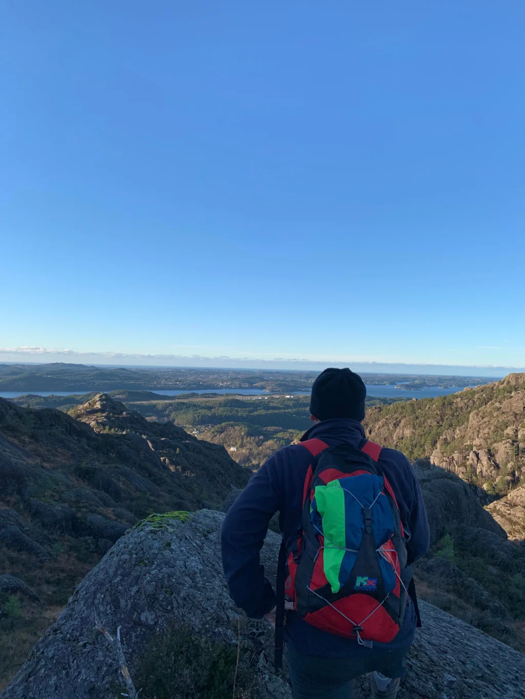
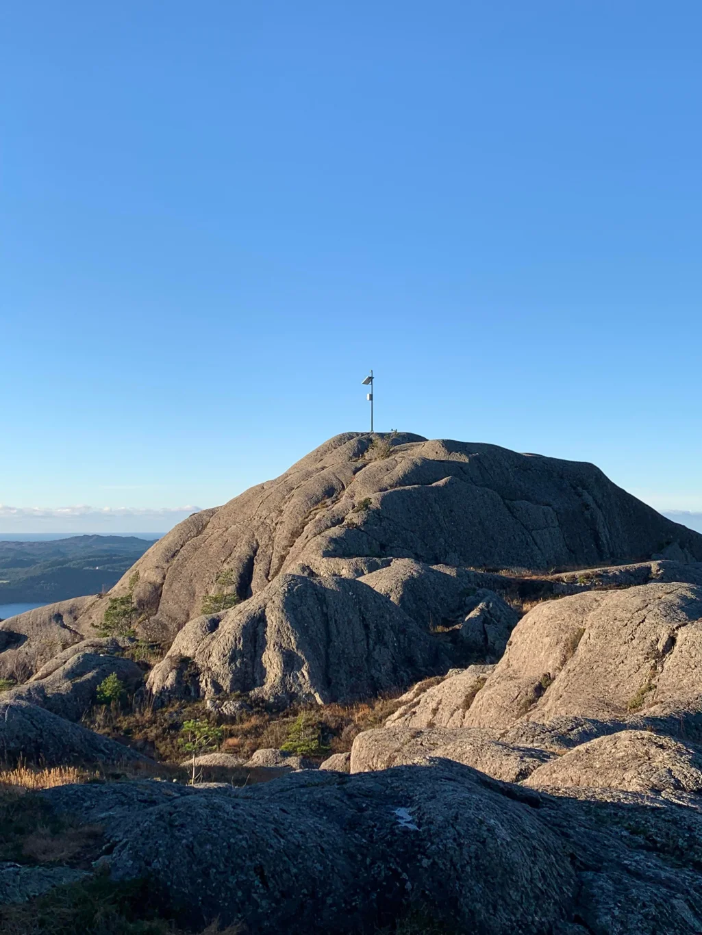
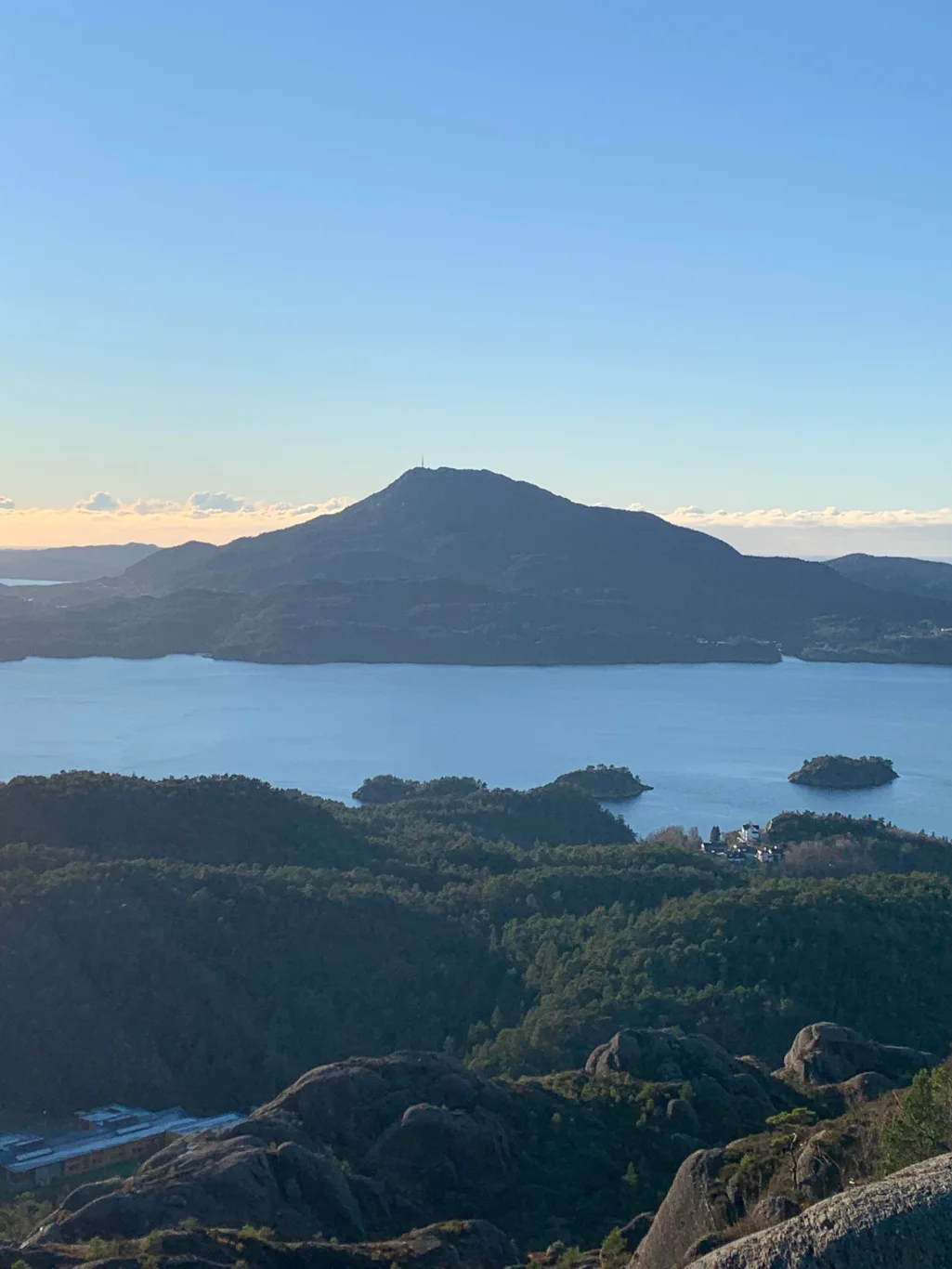
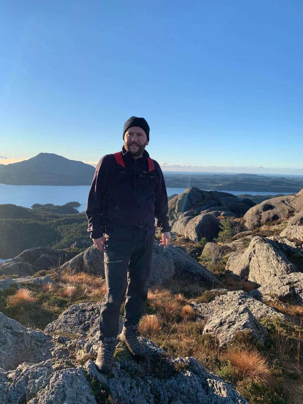
Utslettefjellet (253 m) in Stord
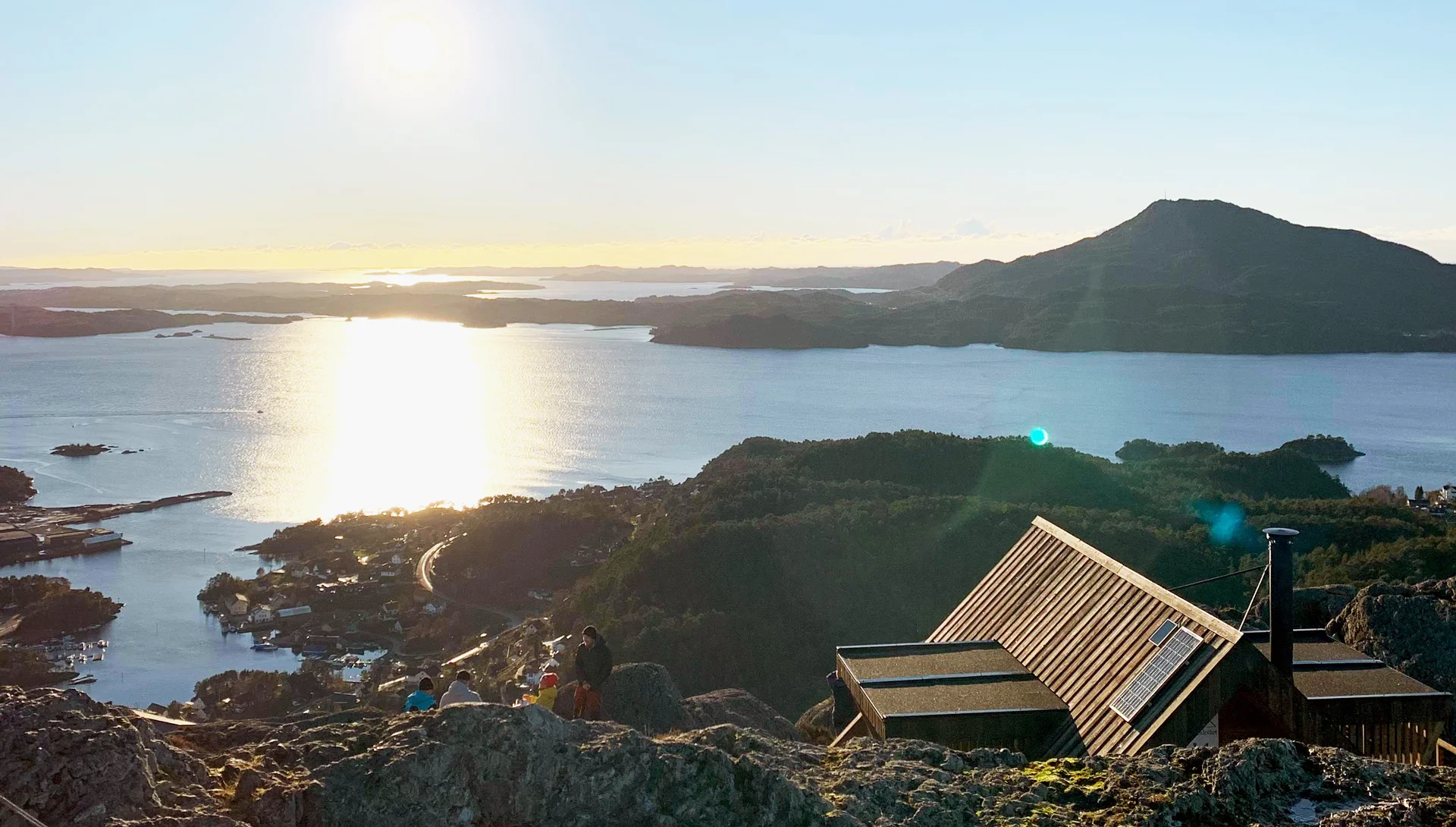
Photo: Admin


Processing elevation data.. .
You use GPX files that you download from our server 100% at your own risk.
Accommodation nearby


Hiking nearby


Distance
8.77 Km


Distance
9.3 Km


Distance
12.85 Km
