
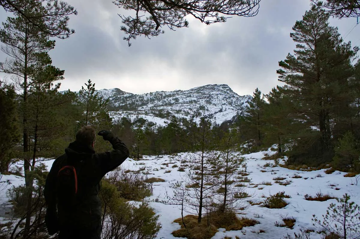
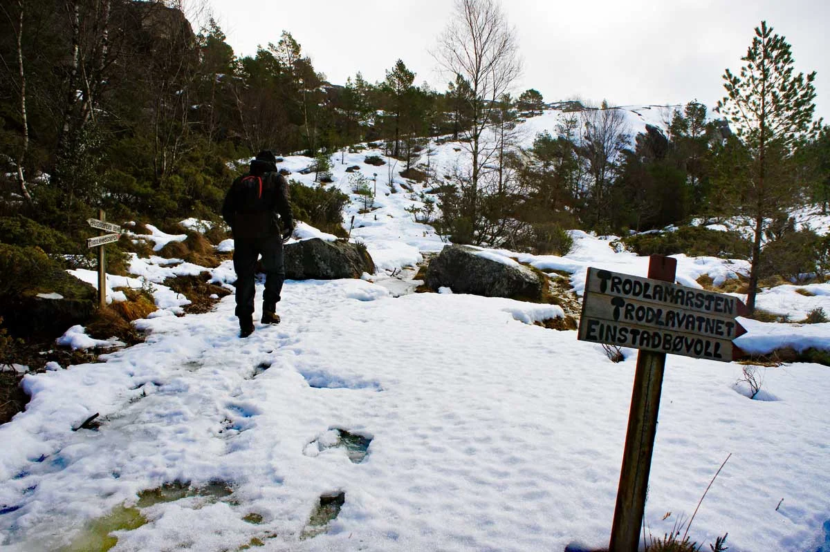
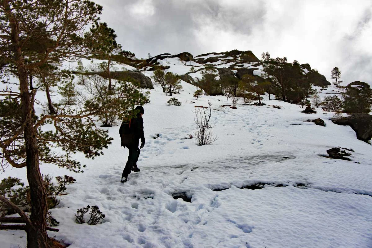
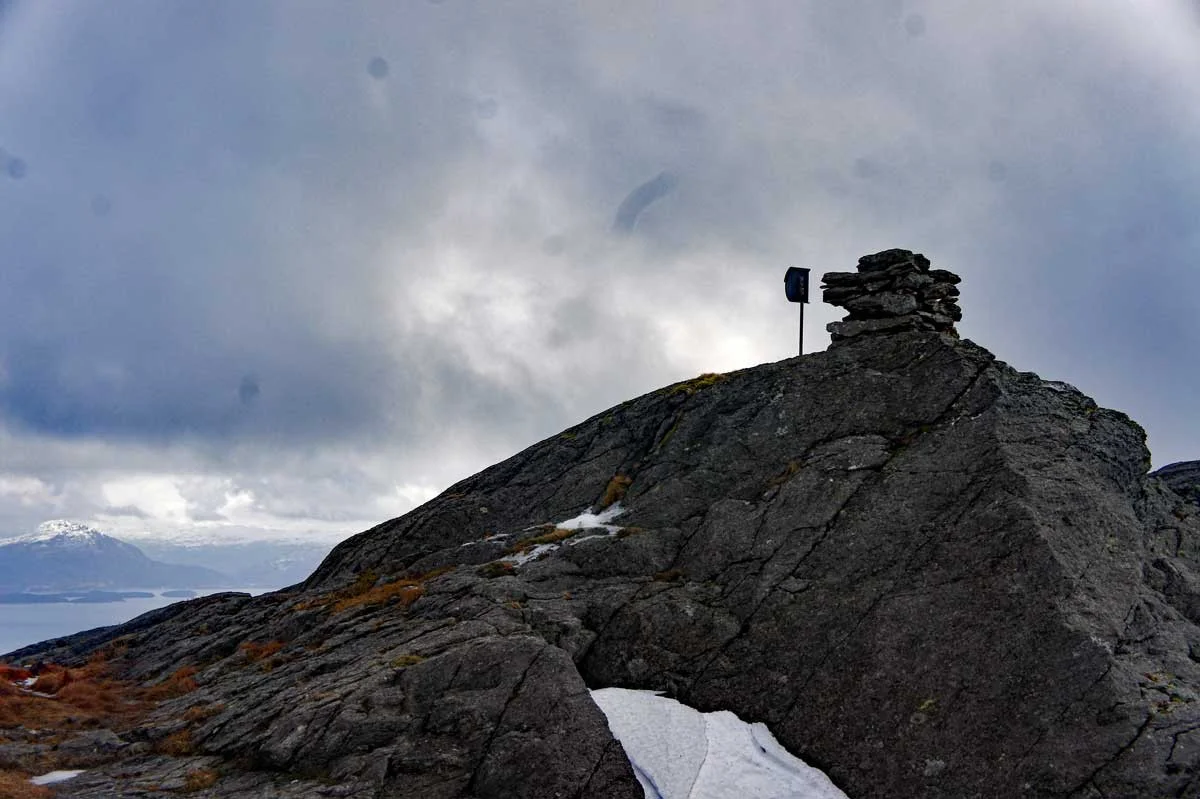
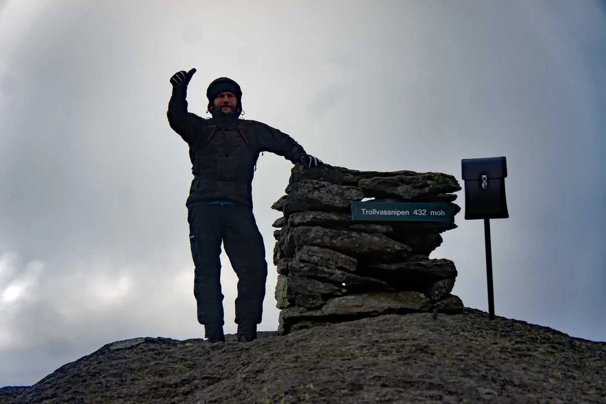
Mountain hike to Trollvassnipa (432 m above sea level)
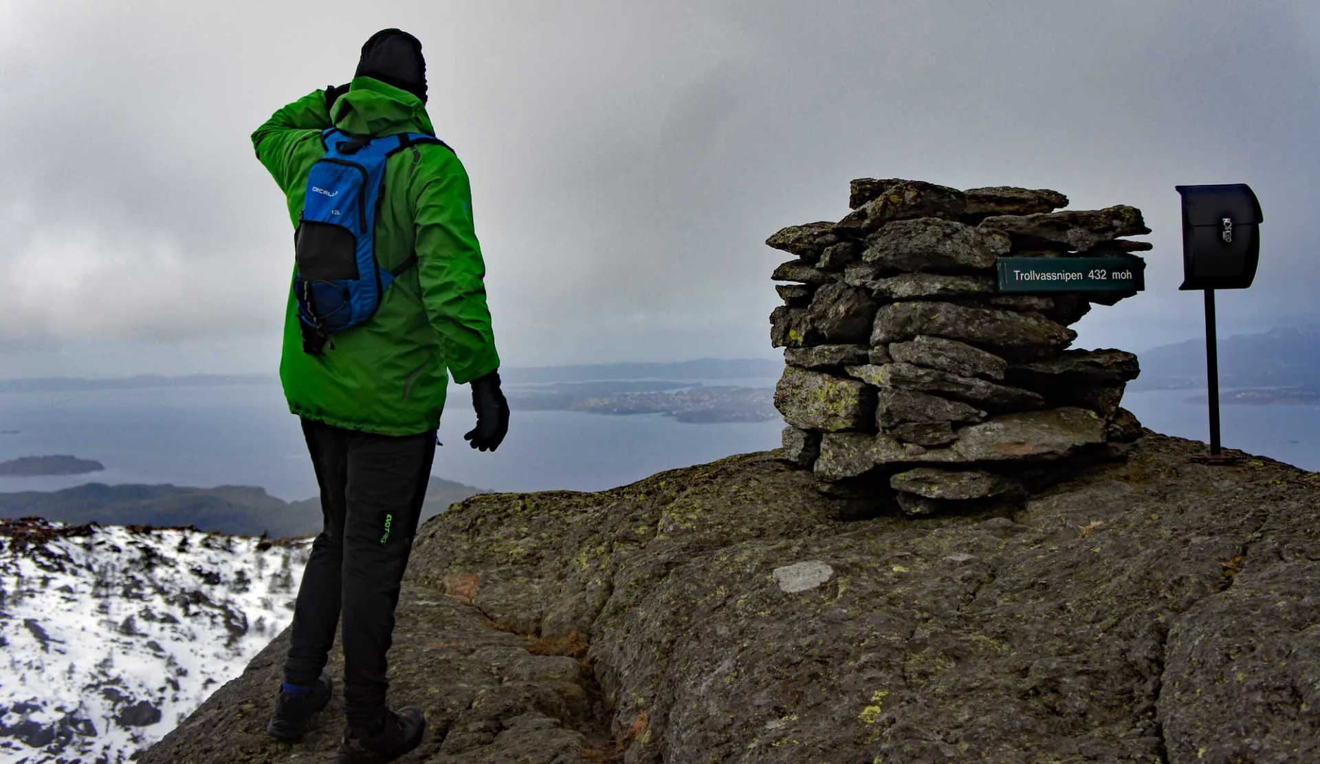
Fjelltur til Trollvassnipa (432 moh)
Photo: Admin

The GPX Track is for guidance only and may contain errors. Use at your own risk.
– always check maps, weather and conditions before your trip.

Access

From Bergen city center, drive to Stord and continue through the triangle junction in Sunnhordland. Just after the Bømlafjord Tunnel, turn off E39 to the right and enter Tittelsnesvegen. Follow the road and park at the tourist parking lot along the road.

Parking

Gratis turparkeringen (høyre side) retning Tittelsnes  (Litt usikker på navnet på denne parkeringen).

Description

Trollvassnipa (432 m. above sea level) is the highest peak in Sveio municipality.  

Turen starter på god sti med jevn stigning i begynnelsen. Etter en stund blir det brattere opp mot Valesåta (277 moh). Deretter går det nedover og flater ut på noen myrete partier før siste stigning mot toppen. Siste stigning går på berg, så pass på for glatte steiner. Det er merket hele veien og du ser varden på  avstand. På toppen går det en bratt fjellside ned til Trodlavatnet, så pass på. Fra toppen kan du nyte 360 grader panorama utsikt over Sunnhordland.

Information

Trollvassnipa: 432 m.
Length: approx. 5.5 km round trip
Time: 2-3 hours for the round trip.
Season: All year round. (Brodder winter, not suitable for skiing).
Grading: Medium

Processing elevation data.. .

You use GPX files that you download from our server 100% at your own risk.

Accommodation nearby

Hiking nearby