
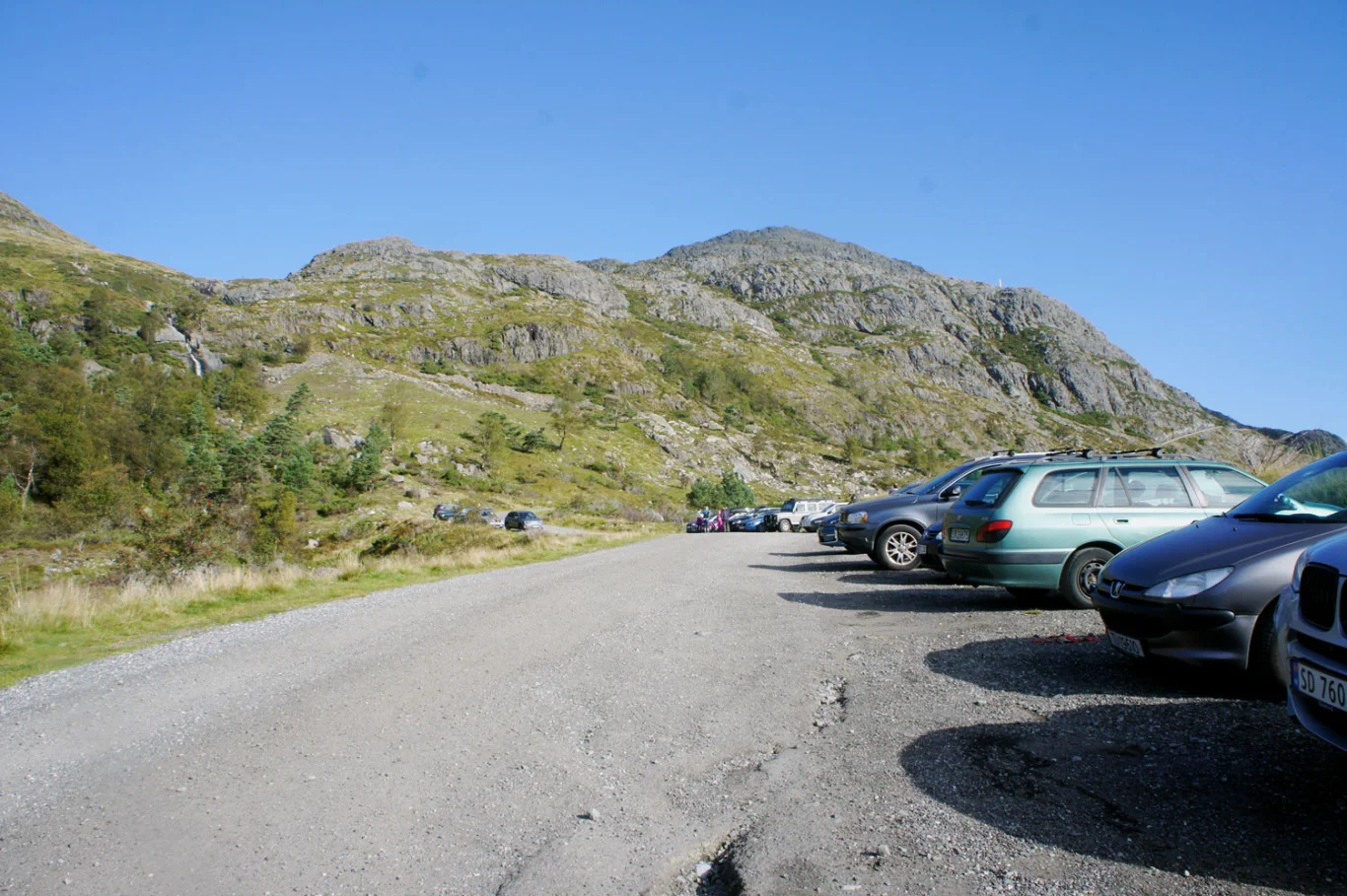
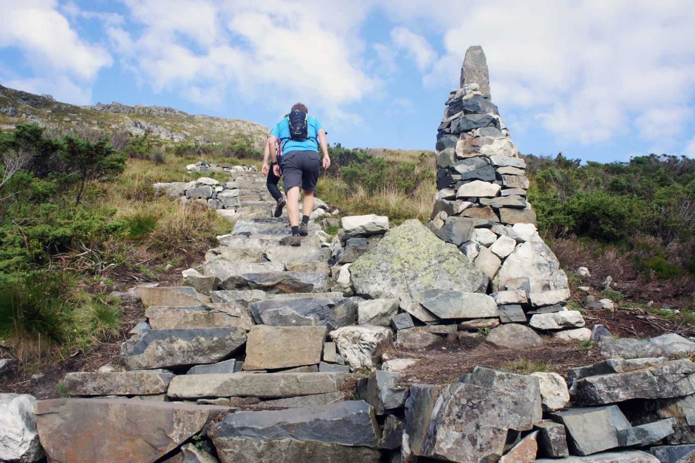
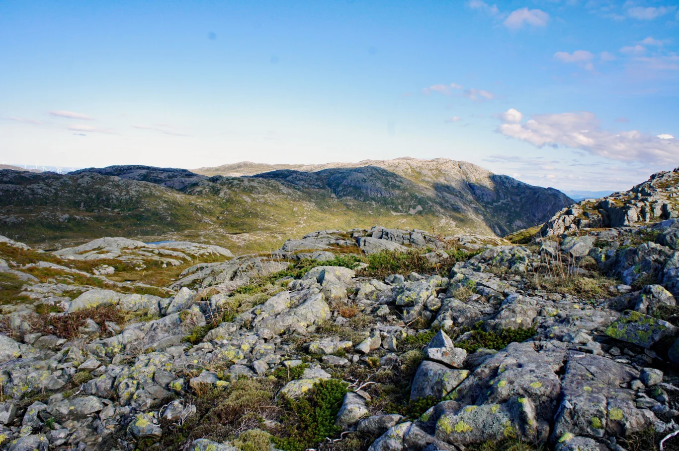
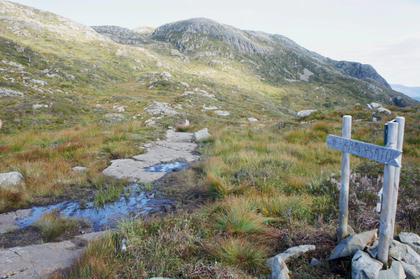
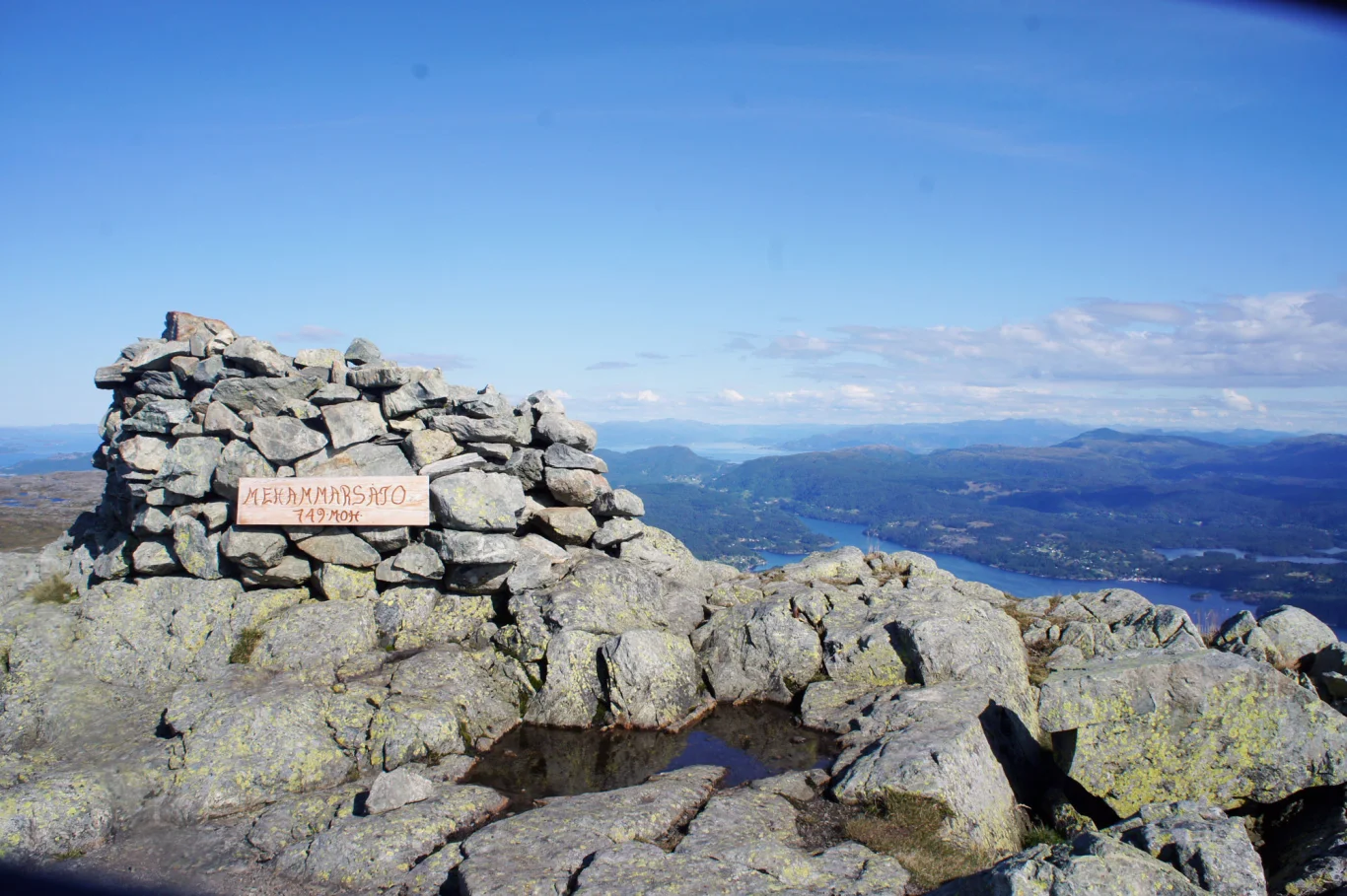
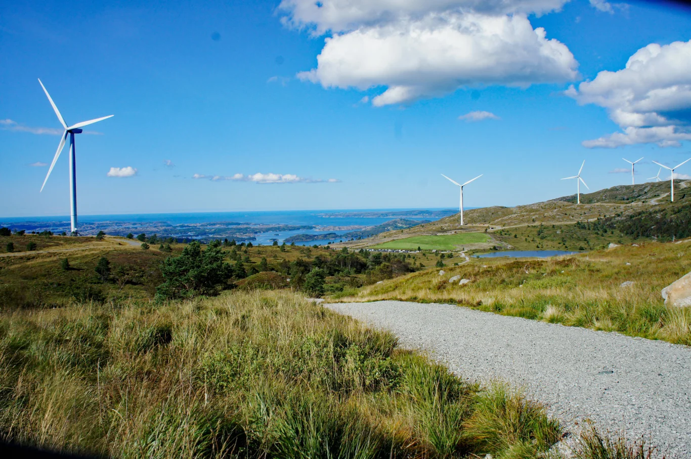
Stord along the way via Mehammersåto (749 m above sea level)
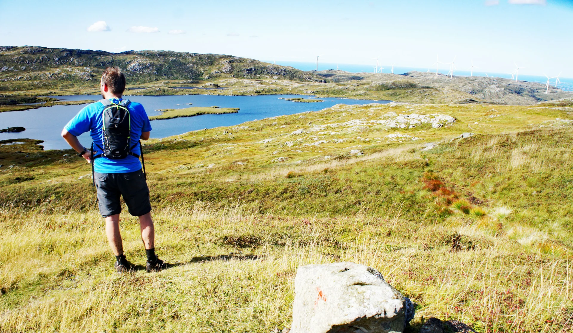
Stord på langs via Mehammersåto (749 moh)
Photo: Admin

The GPX Track is for guidance only and may contain errors. Use at your own risk.
– always check maps, weather and conditions before your trip.

Access

Drive to Halhjem to take the ferry across to Stord. Follow the main road for 20 minutes until you reach the exit (right side) marked Lundsseter. Follow Fjellgardsvegen and turn right onto Lundssetervegen and continue past Fjellstova. Keep right and drive all the way to the parking lot at Fossabrekko. Here you can see straight ahead Stovegolvet (703 m. above sea level) and Kattnakken (724 m. above sea level) with the mast on top.

Parking

Free parking at Fossabrekko/Sherpa Traps. It's called Heio parking.

Description

Follow the Sherpa steps up towards Kattnakken. When you reach the crossroads on the plateau, go straight ahead (not to the right towards Kattnakken).

Follow the path further into Stordfjellet via Martetjøna. The path leads you in a curved direction south-west before it curves to the right and further north towards Mehammersåto. Here the terrain is flat and it is possible to keep a fast pace. Follow the path on the left side of Stemmetjørna (lake). It is marked all the way and is easy to find.

The top of Mehammerståo is a bit further in and you have to cross some 'tricky peaks'. The cairn on Stord's highest mountain is not very impressive, but you get a fantastic 360 degree view of Sunnhordaland.

Forsett videre Nordover mot Fitjar hvor du ser vindmølleparken i bakgrunnen. Her går det jevnt nedover hele veien. Følg stien på høyre side av Mosavatnet og Svartavatnet.  Deretter går stien over til vei langs Midtvatnet og ned til parkeringen på Blekje/Fitar.

Information

NB: This is an unofficial tour of Stord along the length
The highest point of the trip: Mahammersåto (749 m.)
Length: approximately 15 km.
Time: about 4-5 hours
Season: All year round. Skiing in winter.
Grading: Demanding

Processing elevation data.. .

You use GPX files that you download from our server 100% at your own risk.

Accommodation nearby

Hiking nearby