Gjøvågsfjellet (306 m) - Reksteren
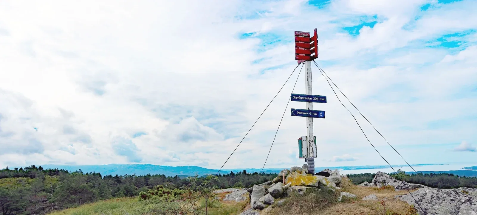
Gjøvågsfjellet (306 moh) - Reksteren
Photo: Admin

The GPX Track is for guidance only and may contain errors. Use at your own risk.
– always check maps, weather and conditions before your trip.

Parking

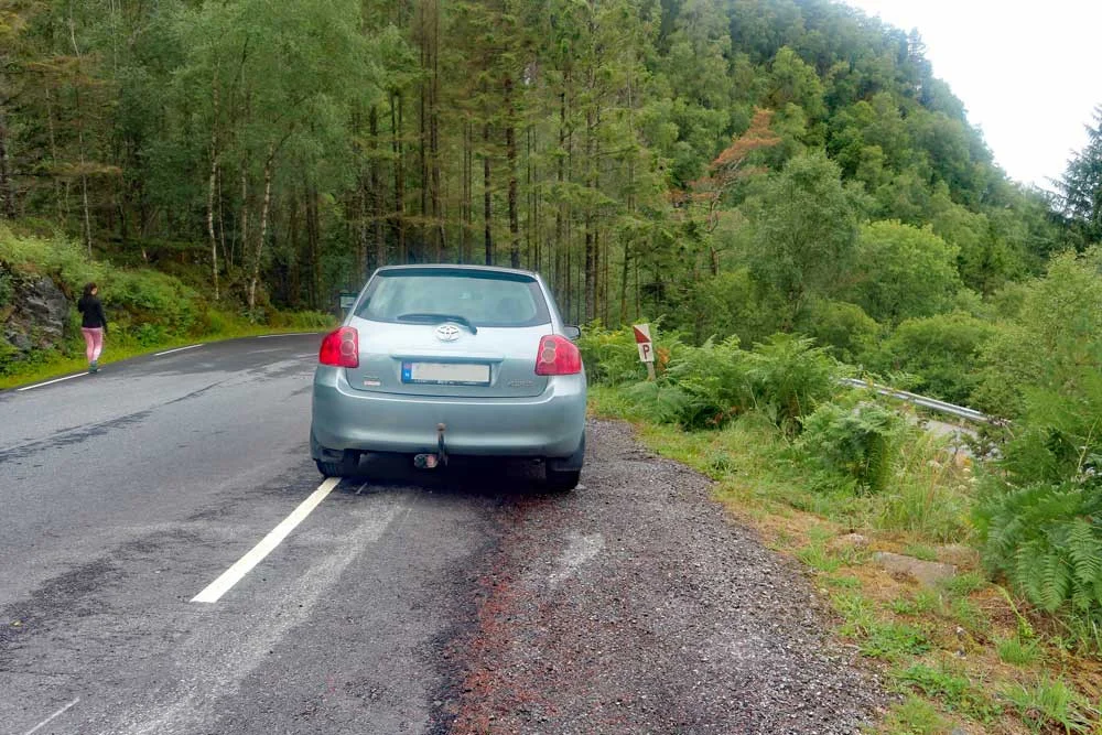
Free parking along the road.

Description

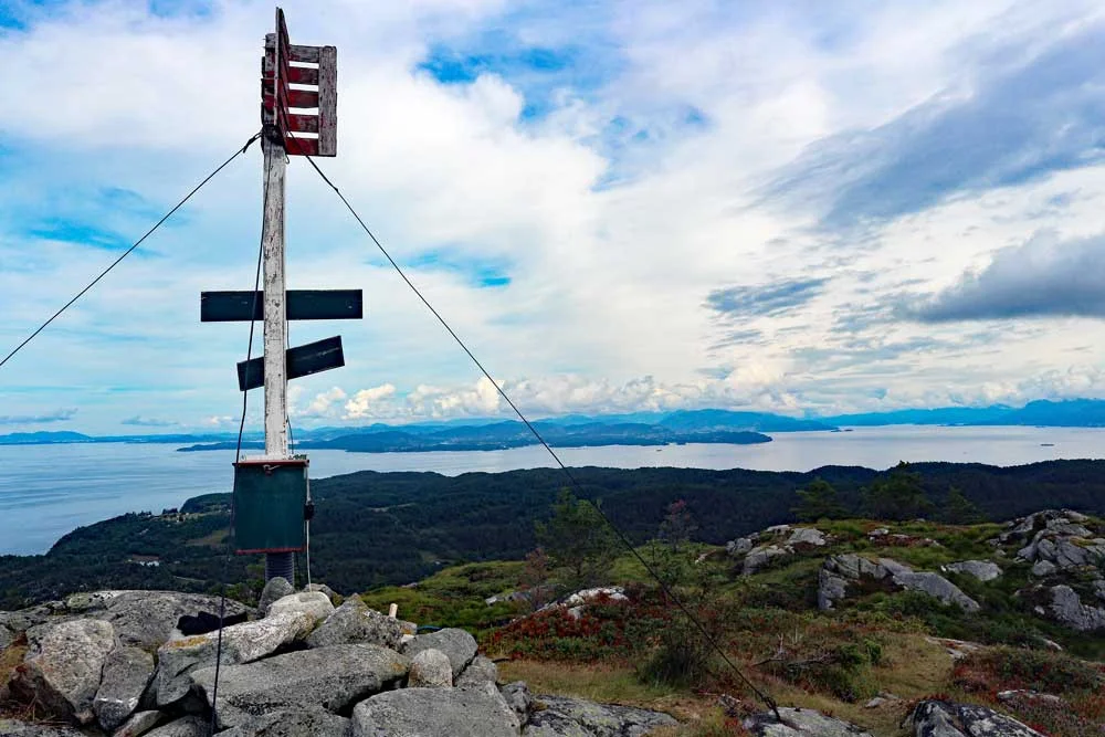
Gjøvågfjellet is located north of Reksteren and is the second highest point on the island. For those interested in geography, Reksteren is part of Tysnes municipality.

Information

Gjøvågsfjellet - 306 m.
Length round trip approximately 2.2 km .
Time: approximately 1 hour.
Season: All year round.
Grading: Simple

Processing elevation data.. .

You use GPX files that you download from our server 100% at your own risk.

Accommodation nearby

Hiking nearby