Mountain hike to Loddo (243 m above sea level) from Åkyllaren
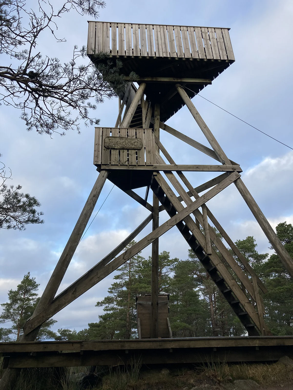
Photo: Trond O.

Processing elevation data.. .
You use GPX files that you download from our server 100% at your own risk.
Accommodation nearby


Hiking nearby

Distance
3.79 Km


Distance
7.39 Km

Distance
7.76 Km


Distance
12.93 Km


Hot
Distance
15.44 Km

Distance
15.58 Km

Distance
16.27 Km