
Tysnessåta (752 m) from Tverrelva
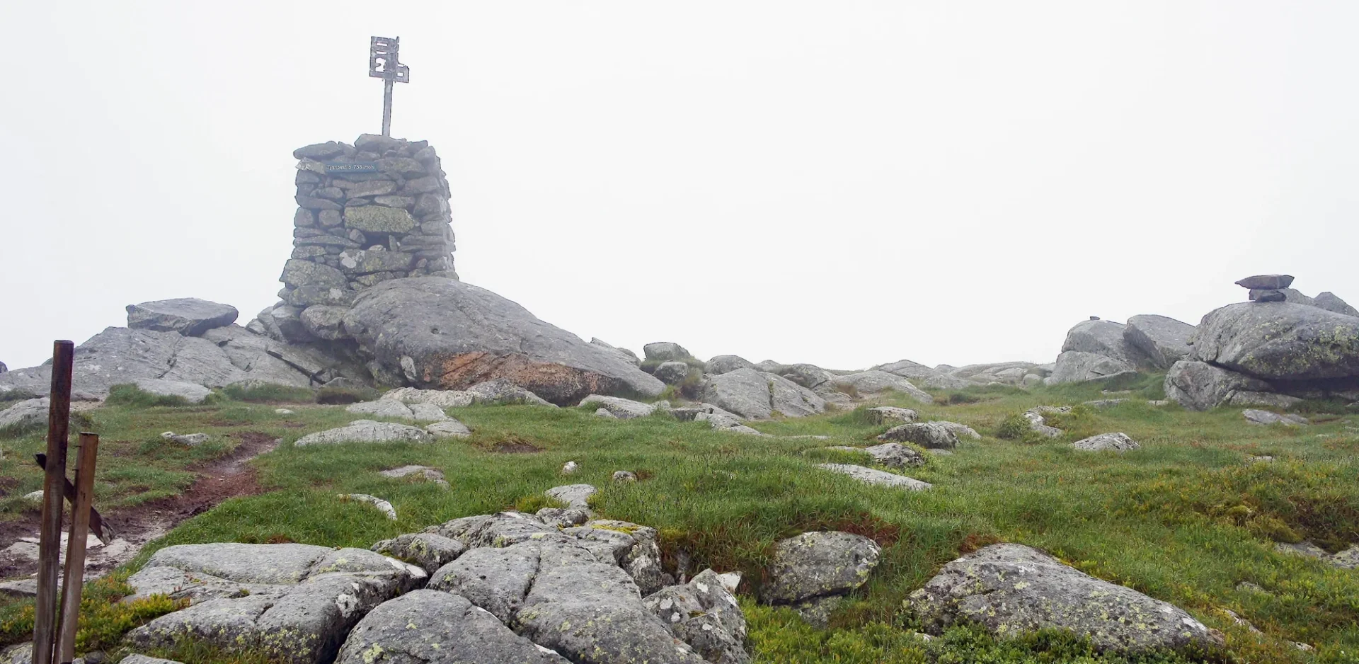
Tysnessåta (752 moh) fra Tverrelva
Photo: Admin

The GPX Track is for guidance only and may contain errors. Use at your own risk.
– always check maps, weather and conditions before your trip.

Access

Take the ferry from Halhjem to Våge (Tysnes). From here, drive towards Lunde/Økland. Then turn right towards Lundegrend. Drive past Vevatnet and park in the pocket by the Tverrelva River.

Parking

Parking space along the road. Free.

Description

Tysnessåta is the highest peak on the island of Tysnes.

From the main road the path goes steeply up until you come to a tractor road. Follow the road which quickly turns into a path up the steep Ådnastegen until you come up a beautiful valley with old cabins. Follow the sign 'Tysnessåta' up the valley through the mountainous terrain. It goes steadily up all the way to Vetlesåta. From here you can see the cairn at the top of Tysnessåta. Follow the path up the last climb to Tysnesåta and enjoy a 360 degree view of Sunnhordland.

Det finnes også andre trasèer til toppen, f. eks fra Myrdal. 

Have a good trip!

Information

Tysnessåta (752 m.)
Length: approx. 9.6km round trip
Time: about 4-5 hours round trip
Season: All year round.  
Some steep sections. Slippery/slippery in some places.
Grading: Medium

Processing elevation data.. .

You use GPX files that you download from our server 100% at your own risk.

Accommodation nearby

Hiking nearby