
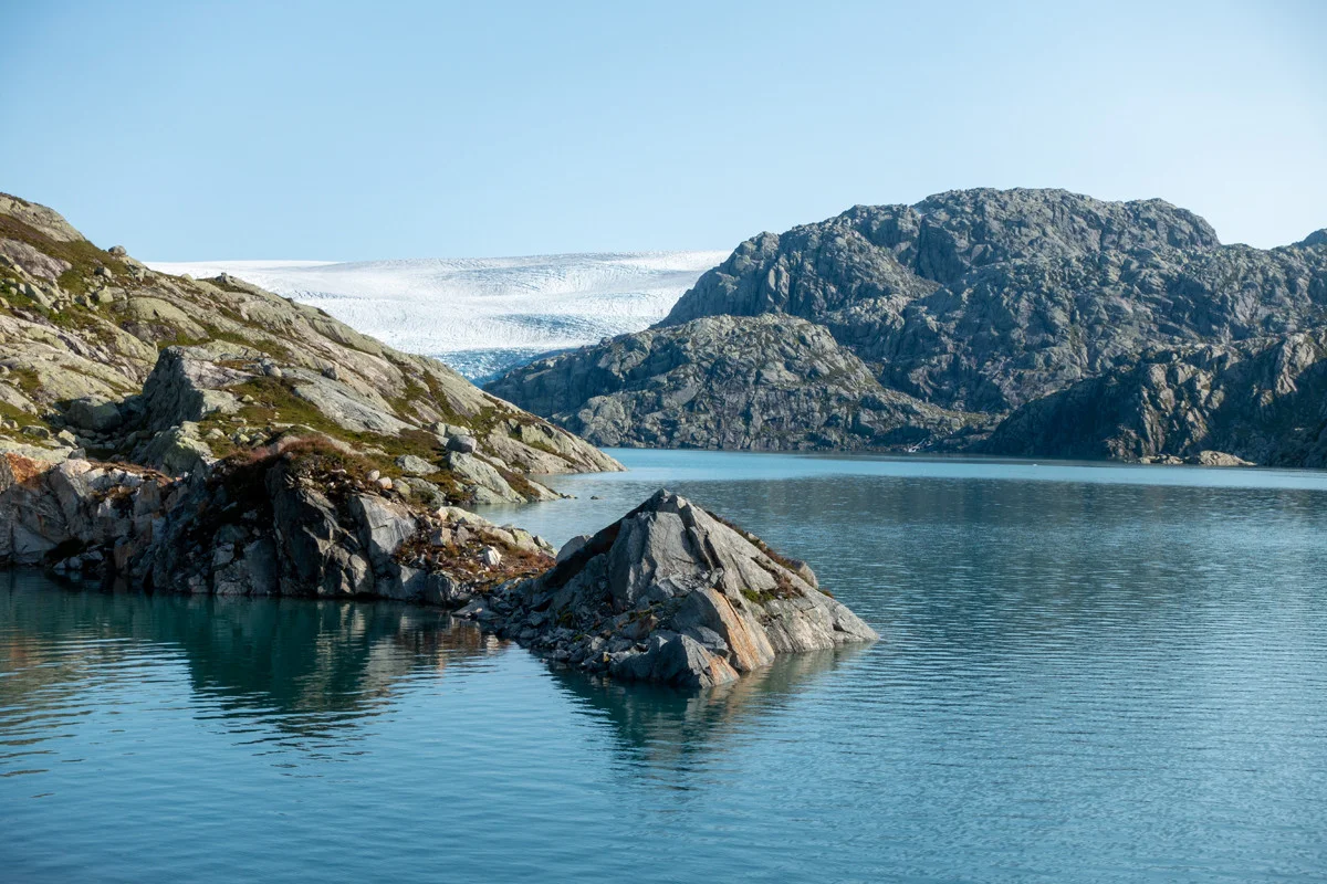
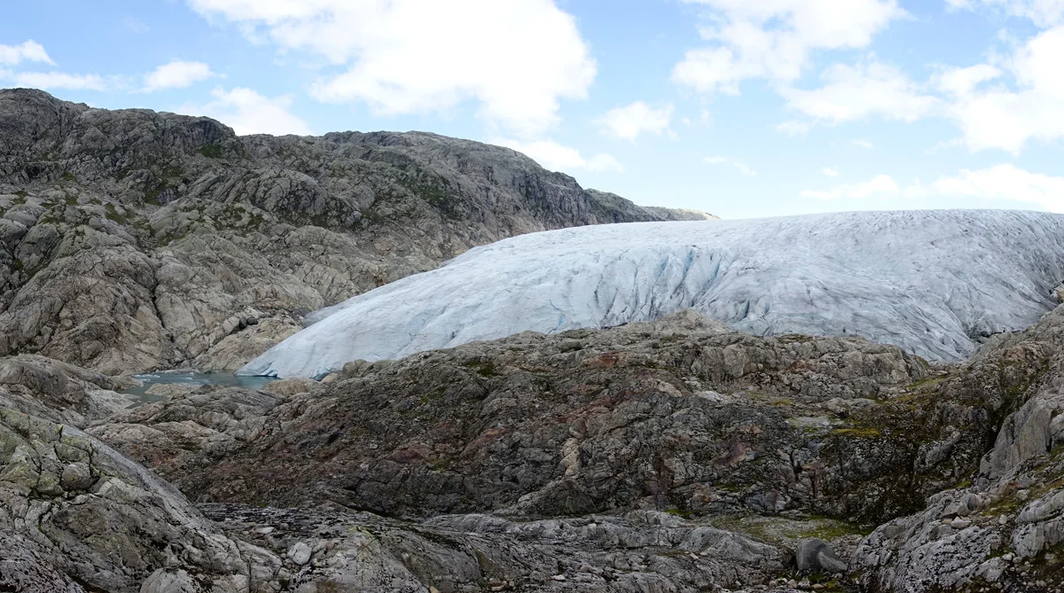
Svelgabreen (849 m) from Blådalen, Folgefonna south
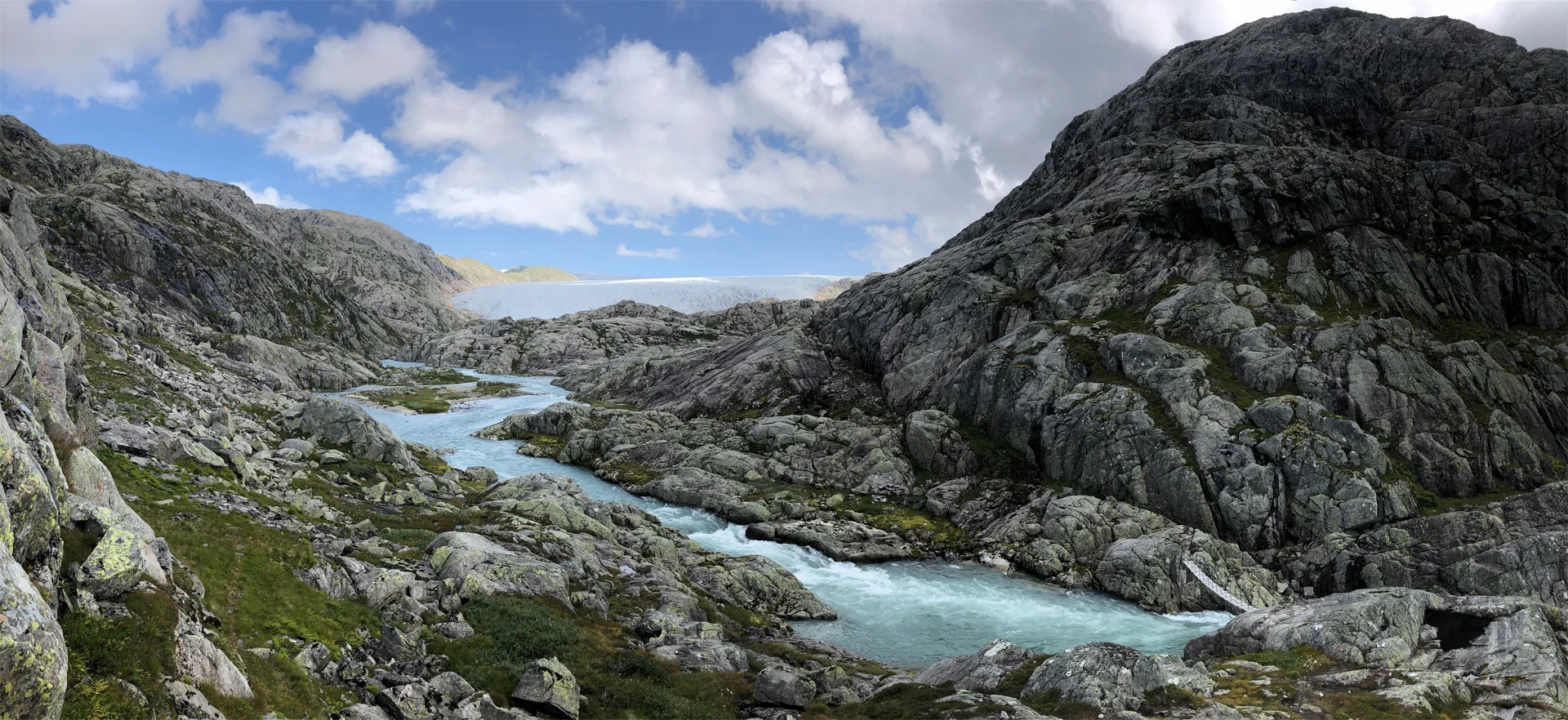
Svelgabreen (849 moh) fra Blådalen, Folgefonna sør
Photo: Admin

The GPX Track is for guidance only and may contain errors. Use at your own risk.
– always check maps, weather and conditions before your trip.

Access

From Bergen, drive to Fusa and continue towards Gjermundshavn. Take the ferry across to Årsnes and drive right towards Rosendal. Drive through Rosendal and continue to Dimmelsvik. From there, drive on County Road 40 to the sign marked 'Bådalsvatn / Skisenter'. From here, drive all the way left all the way to the hiking park at Mosevatnet. This is a narrow construction road with many bends and tunnels.
There is an upper parking lot, 'Mosevatnet parking' and a lower parking lot at Blådalsbotn. We started the trip at the upper one. But you can also start at the lower one. The hill up to the upper parking lot is steep, 20% gradient.
It is approximately 3 hours and 8 minutes drive from Bergen.  

Parking

Free parking at Mosevatnet. parking. If it is full here, park at lower Blådalsbotn. It is just as nice to start the trip from lower.

Description

From the parking lot there is a marked path to Svelgabreen. Walk to the end of the parking lot and cross the dam.

After the dam you have to climb a steep hill and then descend again. The hike is in hilly mountain terrain. It may remind you of Stølsheimen, where it goes both up and down.

After a while you will come to a crossroads. You can choose between Vad and Hovudveg. We chose to take Hovudveg. Here the path takes an extra loop along Mosevatnet and then heads south towards Midtbotnavatnet.

Then follow the marked path along Midtbotnavatnet and then east. Now you come to the valley where you can see Svelgabreen. Here is a Sikringshytte with two beds. Follow the path further to the north-east and cross the bridge. Be careful as this bridge is exposed. Then follow the path further to the glacier arm.

Here you can really see the mighty glacier arm from Svelgabreen.

Return the same way.

Back we chose to walk the path marked Vad.

Have a good trip!

Information

Svelga Glacier (849 m.)
Length round trip: approximately 13 km.
Time: Approximately 6 hours.
Season: Late summer and autumn..
High mountain boots are recommended.
Grading: Demanding

Processing elevation data.. .

You use GPX files that you download from our server 100% at your own risk.

Accommodation nearby

Hiking nearby