The Gullruta in Etnefjellene - six days from Seljestad to Olalia


The Gullruta in the Etnefjellene is a demanding hut-to-hut trip of around 80 kilometers through the Etne and Saudafjellene.
Advertisement


The route runs from Seljestad to Olalia and offers high mountains, birch groves, waterways, waterfalls and accommodation in DNT cabins along the way.
The trip is part of DNT's SignaTURs - a collection of selected multi-day routes that are considered among the best cabin-to-cabin experiences in Norway.
I have walked the entire route stage by stage. This is a trip for hikers who have experience of long days, changing weather and several days on a backpacking trip. The entire route follows T-marked DNT trails.
Briefly about the Gullruta
- Area: Etne and Sauda mountains
- Start: Seljestad
- End: Olalia Fjellstove
- Length: About 80 kilometers
- Duration: Six main stages
- Difficulty: Challenging
- Season: July to September
- Accommodation: DNT cabins along the route
Stage by stage through the Etnefjellene
Day 1: Seljestad to Simlebu
 Photo: On trip to Norway
Length: 17.5 km
Time: Approx. 6-7 hours
From the Korlevoll ski stadium, you follow the T-marked road up towards Steinavatnet and further into the Etnefjellene. Over the ridge you get a great view towards Folgefonna, before the route goes past Sandbotnavatnet and down into Bordalen.
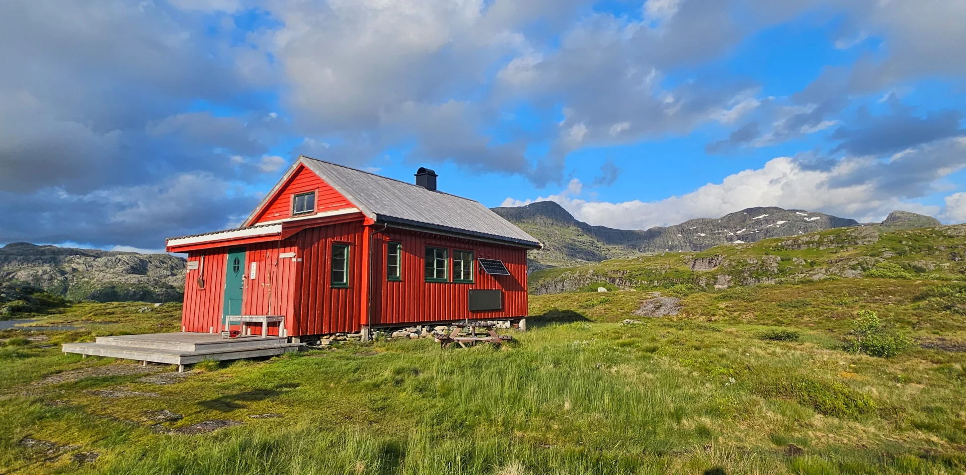
After the bridge over the Bordalselva, a final climb of around 200 meters awaits you up to Simlebu, which is the smallest DNT hut along the Gullruta.
See complete trip description for Seljestad to Simlebu
Day 2: Simlebu to Sandvasshytta
 Photo: On trip to Norway
Length: 14.2 km
Time: Approx. 5 hours
From Simlebu, you follow the T-marked path westwards through open mountain terrain and forest areas. After the crossing towards Langfoss, you cross the river on a bridge and continue along Vaulavatnet.
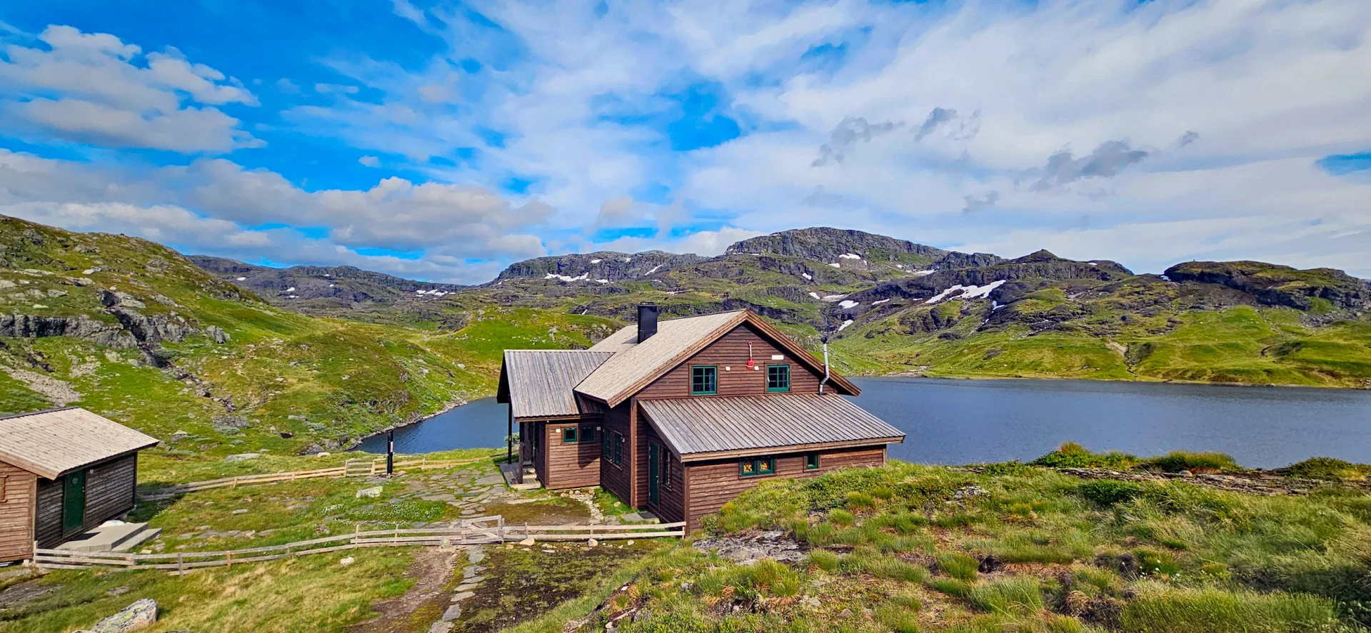
The terrain is relatively easy to walk, but several parts can be wet and boggy. Finally, the route goes through Austmannadalen to Sandvasshytta by Sandvatnet.
See complete trip description for Simlebu to Sandvasshytta
Day 3: Sandvass hut to Blomstølen
 Photo: On trip to Norway
Length: Approx. 5.1 km
Time: Approx. 2-3 hours
This is the shortest stage on the Gullruta. From Sandvasshytta, you follow the T-marked path along Sandvatnet, before a rise gives a great view to the west and towards Blomstølen in the Distance .
The path then descends steeply past Plomvatnet, over the ridge at Tvittjørnene and further along Svartavatnet to Blomstølen at Blomstølvatnet.
See complete tour description for Sandvasshytta to Blomstølen
Day 4: Blomstølen to Storavassbu
 Photo: On trip to Norway
Length: Approx. 12.5 km
Time: Approx. 6 hours
From Blomstølen you follow the path through Røssedalen and up towards the high mountain at around 980 metres. The route continues through an open landscape with small mountain lakes, waterfalls and streams at Ingebjørgsvatna.
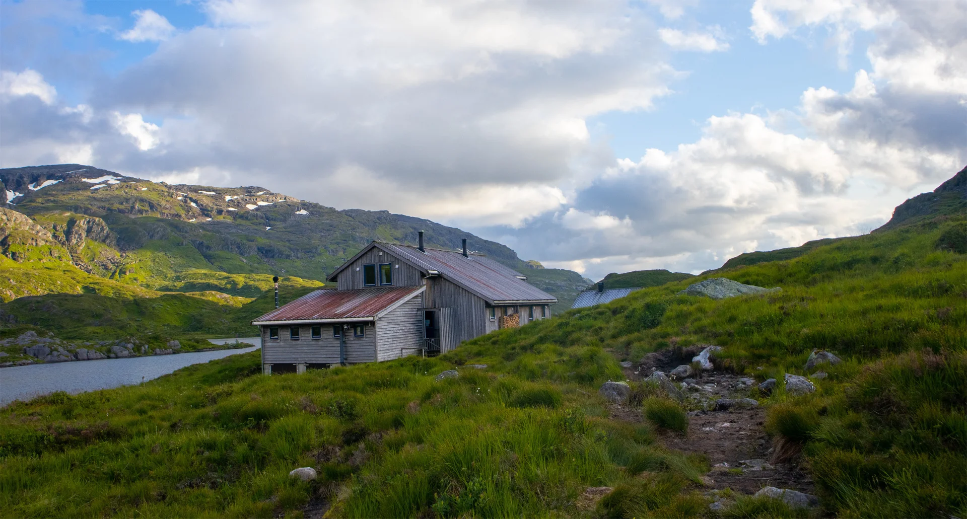
After a view of the Holsnåna waterfall, the path continues through rock formations and down to Storavassbu, which is beautifully situated by Storavatnet.
See complete tour description for Blomstølen to Storavassbu
Day 5: Storavassbu to Løkjelsvatnhytta
 Photo: On trip to Norway
Length: Approx. 16.5 km
Time: Approx. 6-8 hours
From Storavassbu, the route goes through forest, stone clock and a section with a chain down towards Litlavatnet. Along the water, you follow an airy mountainside with chains, before the trip continues over marshes and through climbs towards the high mountains.
The last section along Lake Løkjelsvatnet is hilly and demanding, with many slopes before the cabin comes into view.
See complete tour description for Storavassbu to Løkjelsvatnhytta
Day 6: Løkjelsvatnhytta to Olalia Fjellstove
Length: Approx. 17.6 km
Time: Approx. 6 hours
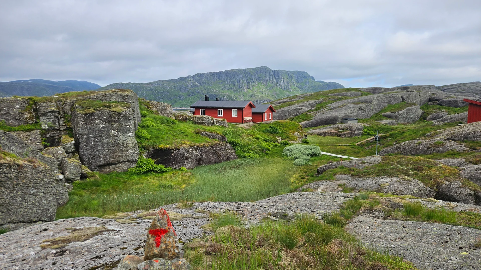
The last main stage goes from Løkjelsvatnhytta to Olalia Fjellstove. It's probably a long day, but the goal is one of the most famous mountain lodges in the Haugesund Tourist Association's grid.
After several days through the Etne Mountains, the arrival at Olalia marks the end of the mountain route itself. From here, the trip can end with a further walk down to Oppheim.
See complete tour description for Løkjelsvatnhytta to Olalia Fjellstove
End of the trip: Olalia to Oppheim
Length: Approx. 5 km to Oppheim car park, then 2 km to Oppheim bus stop.
Time: Approx. 2 hours.
From Olalia Fjellstove, the last transport leg goes down to the car park at Oppheim. The trip follows a gravel road in slightly hilly terrain and is far easier than the mountain stages earlier on the route. If you continue approx. 2 km further from the car park, you come down to the bus stop along the E134. From here you can take the bus further, either in the direction of Ølen or towards Ullensvang.
Who is the Gullruta suitable for?
The Gullruta is suitable for those who have experience with mountain tours and want several days from cabin to cabin. Several of the stages are long, and weather changes, wet paths and limited mobile coverage means that you should be independent in the mountains.
The reward is six days of varied western mountains, DNT huts, waterways and long stretches far from the road. For me, this became a continuous journey through a mountain area that deserves more attention.
Plan your trip
Always check updated route information, weather forecast, driving conditions and status of the cabins before departure. GPS, map and compass should be included on the trip. Accommodation in the cabins can be booked in advance, but I myself chose not to do so. There were few other hikers in the Etnefjellene, even in July and in periods of good weather.

Processing elevation data.. .