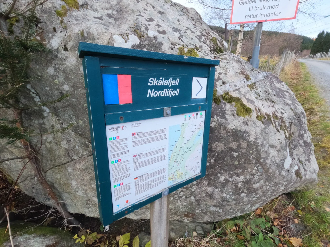
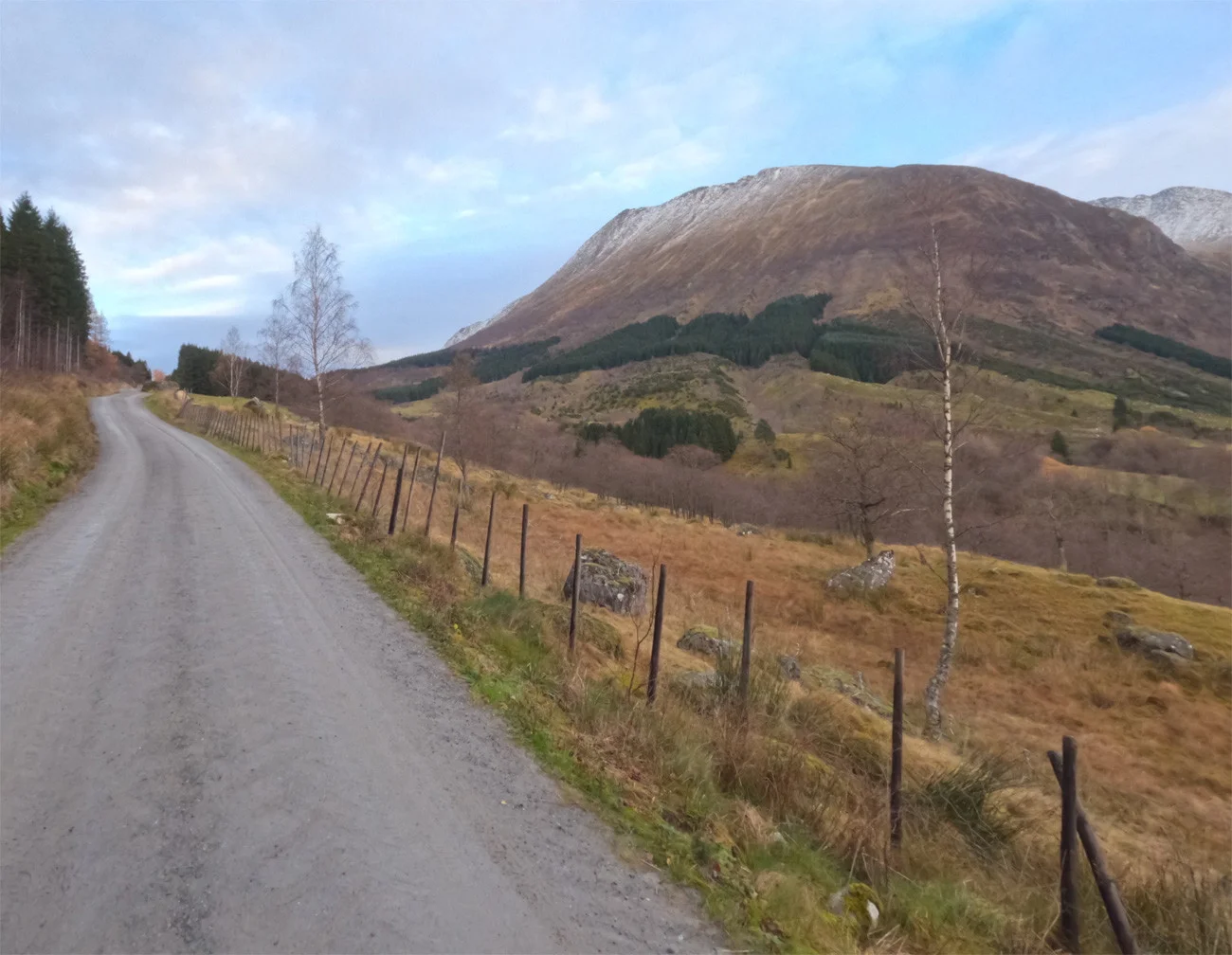
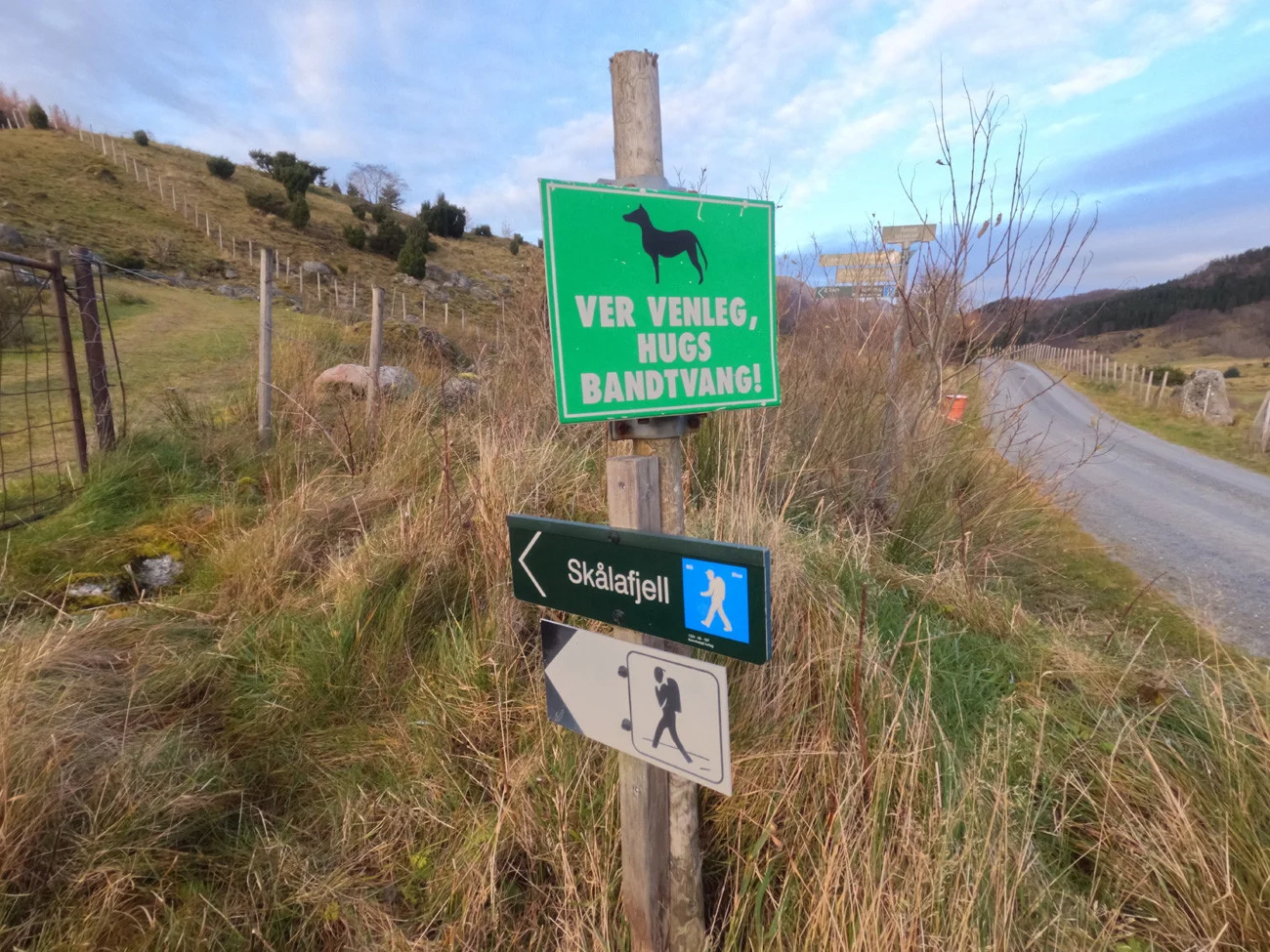
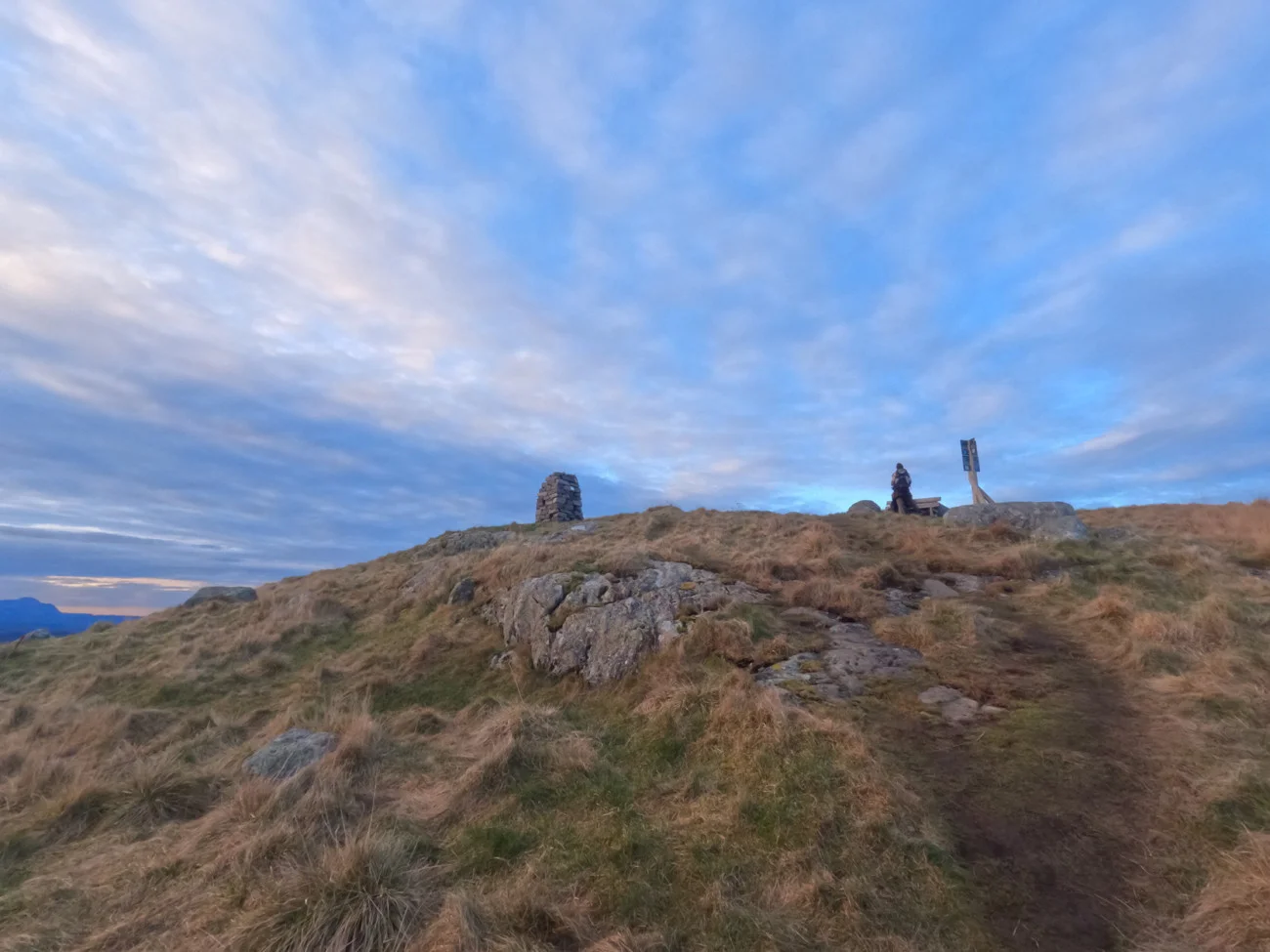
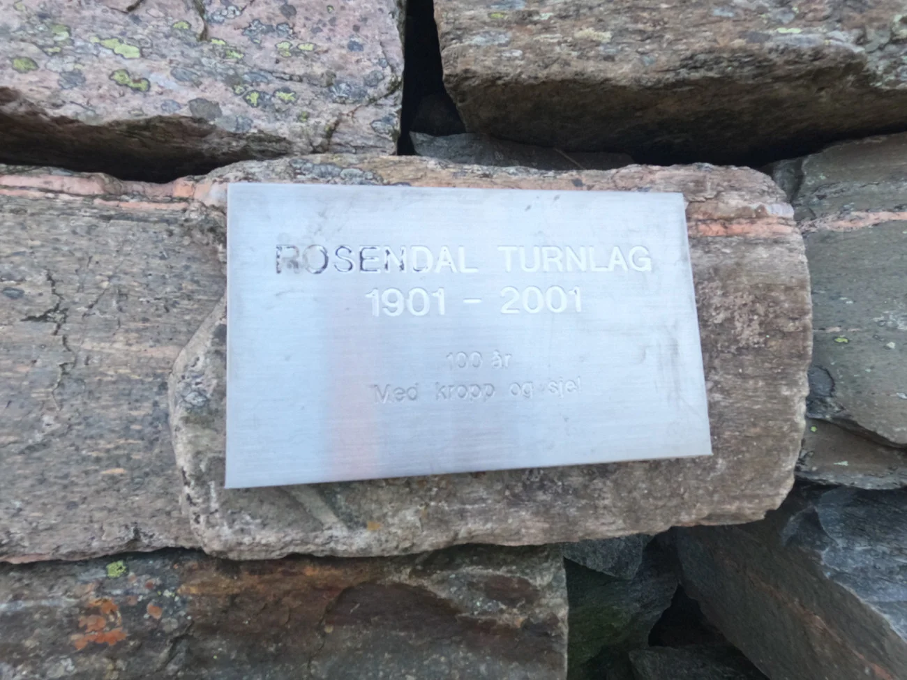
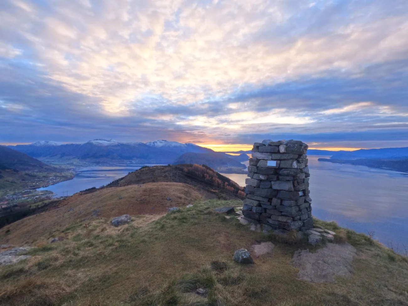
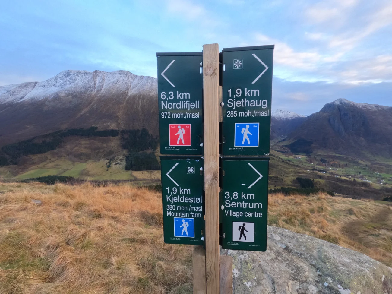
Mountain hike to Skålafjell (Navarhaug 501 m above sea level) in Rosendal
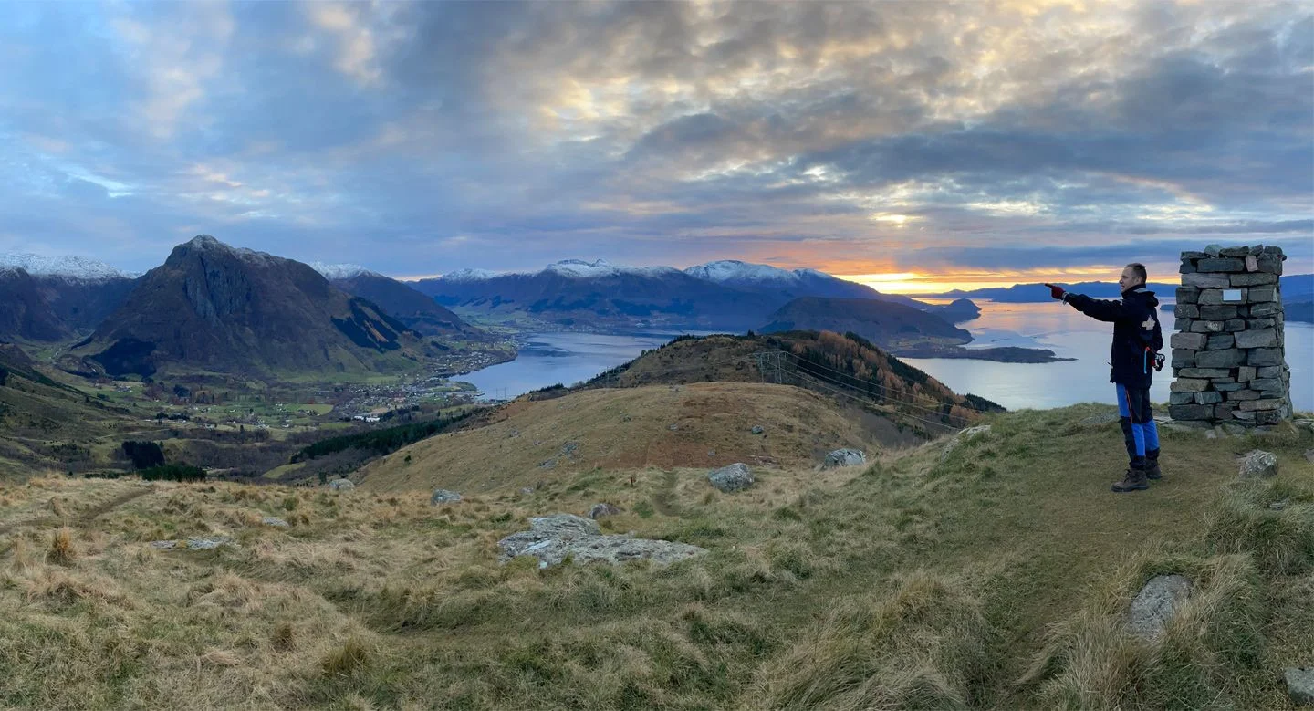
Photo: Admin
The GPX Track is for guidance only and may contain errors. Use at your own risk.
– always check maps, weather and conditions before your trip.
Access
Approximately 2 hours 27 minutes (118 km) drive from Bergen city center.
Parking
Free parking pocket at the start. If full here, you can park below the church.
Description
Start the hike at Kvinnherad Church. Go up Bjørkesveien. Around the bend and up the hill. Follow the road until it turns onto a gravel road. Continue on to the crossroads with a sign marked 'Skålafjell'. Follow the forest road up. New sign on the left side marked 'Skålafjellet'. The last part is steep and goes on a path combined with Sherpa stairs.
På toppen er det satt opp en stor varde, og navnet på stedet heter 'Navarhaug'. For lengre tur kan du gå videre innover fjellryggen til Nordlifjell (972 moh). Skålafjell byr på utsikt over Rosendal og Rosendalsalpene.
Accommodation nearby
Hiking nearby
Mountain hike to Ulvanosa, Geitadalstind (1210 m) and Høgetinden (1248 m) - Kvinnherad, Vestland
Premium
Distance
15.45 Km