
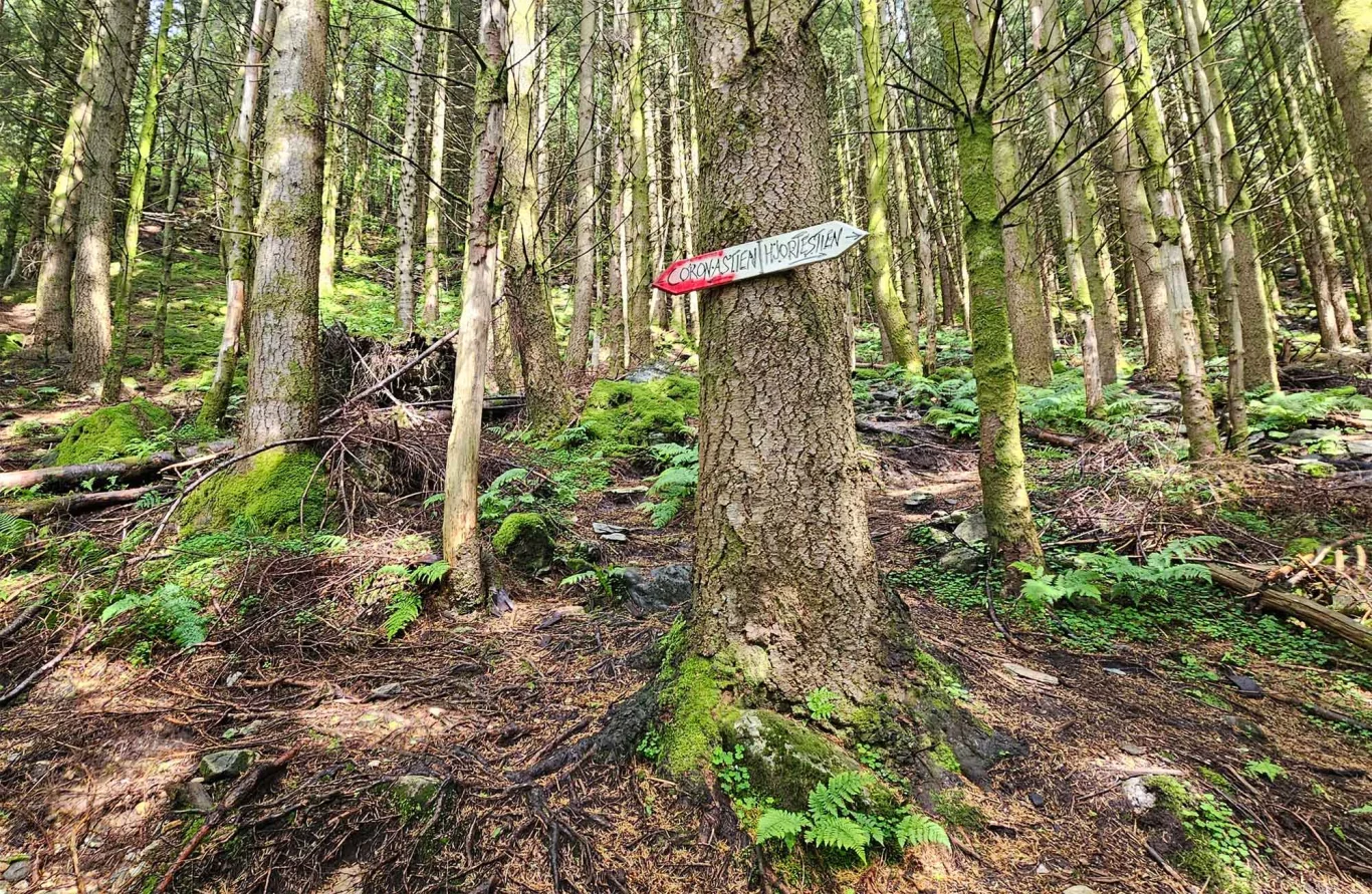
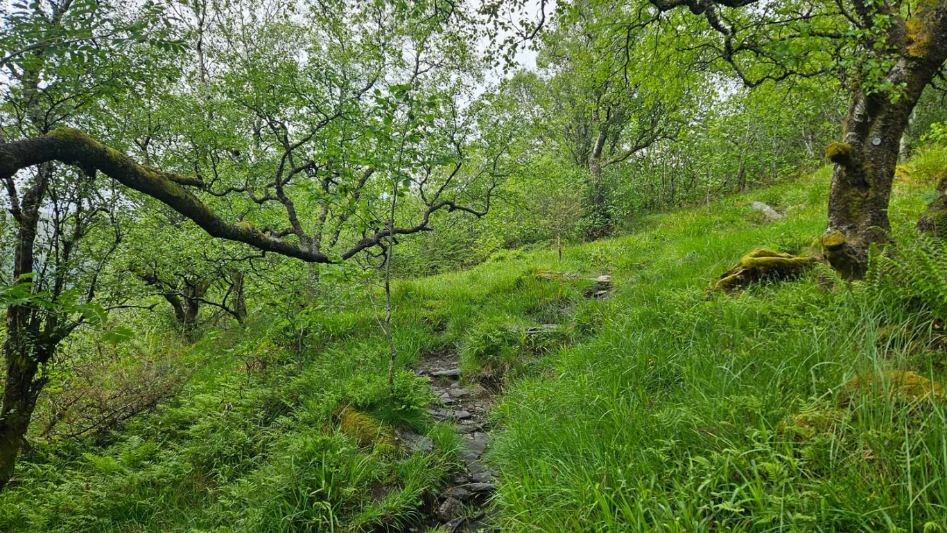
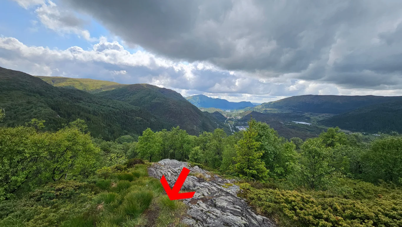
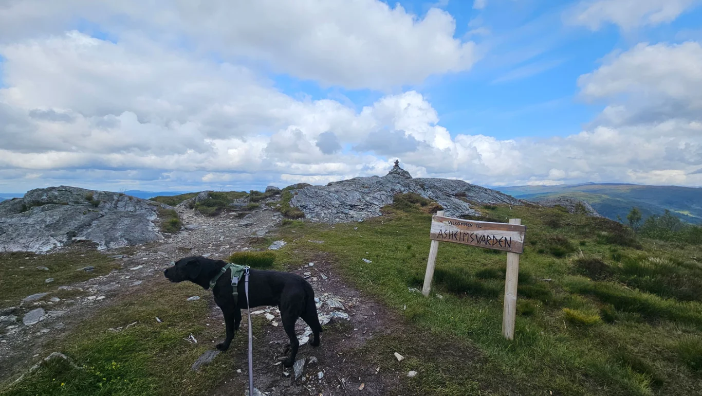
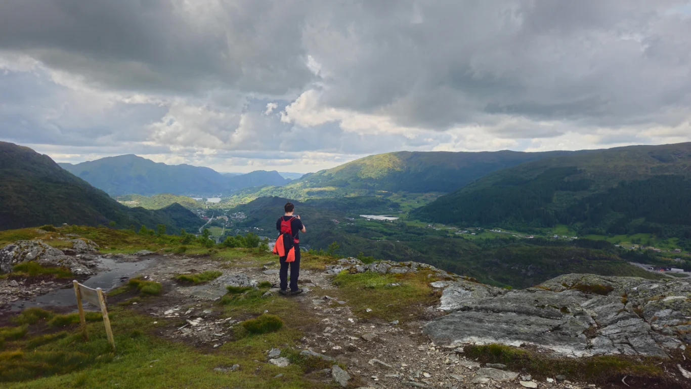
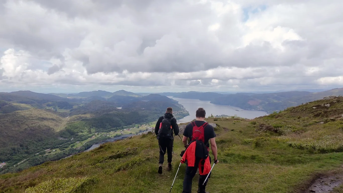
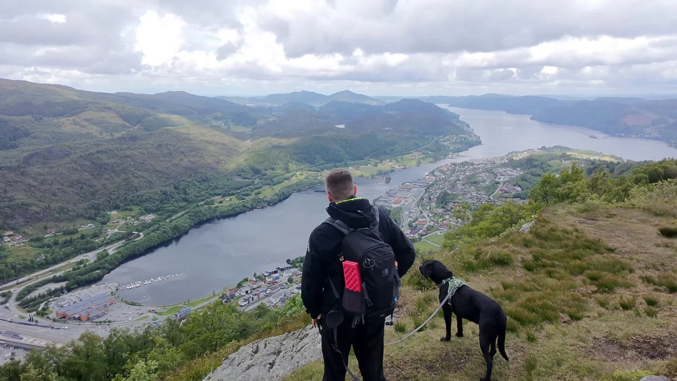
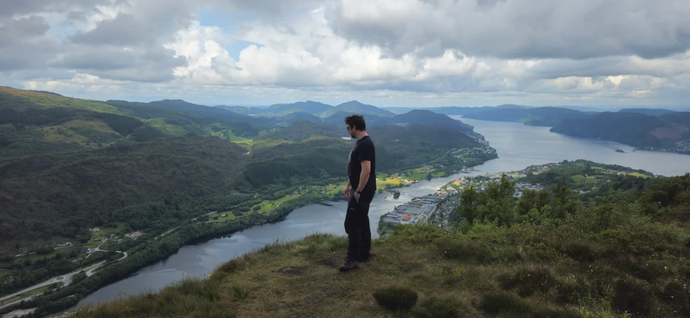
Mountain hike to Arnanipa / Ådnanipa (456 m)

Fjelltur til Arnanipa / Ådnanipa (456 moh)
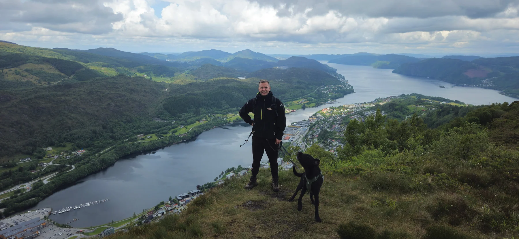
Photo: Chris Almeland

The GPX Track is for guidance only and may contain errors. Use at your own risk.
– always check maps, weather and conditions before your trip.

Access

Approximately 30 min (28.6 km) drive from Bergen.

Parking

Private hiking parking, shortcut up from the main road.

Description

From the parking lot in Stølsveien, walk up to the gravel road. Follow this road about 1 km south.

When you reach a stream and a small rest area, turn left into the forest and up Hjortestien/Koronastien. Here a steeper split begins along a clear path. Along the way you get a beautiful view of Arnadalen and Arnavågen. The terrain changes from deciduous forest to open mountain plateau.

When you reach the top at Åsheimsvarden, a magnificent panorama opens up over Sørfjorden, Osterøybrua, Garnes and Ytre Arna. Then follow the path further along the mountain ridge – the top of Arnanipa is located approx. 150 meters north of Åsheimsvarden. From here you have a great view down towards Arna.

Return the same way.

Information

Length: approx. 4 km round trip
Time: Approximately 2 hours round trip
Elevation gain: 372 meters
Season: All year round. Use spikes in winter.
Grading: Simple

Processing elevation data.. .

You use GPX files that you download from our server 100% at your own risk.

Accommodation nearby
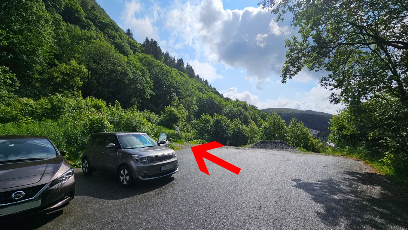
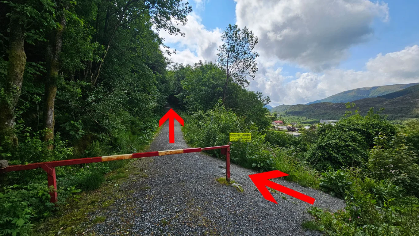
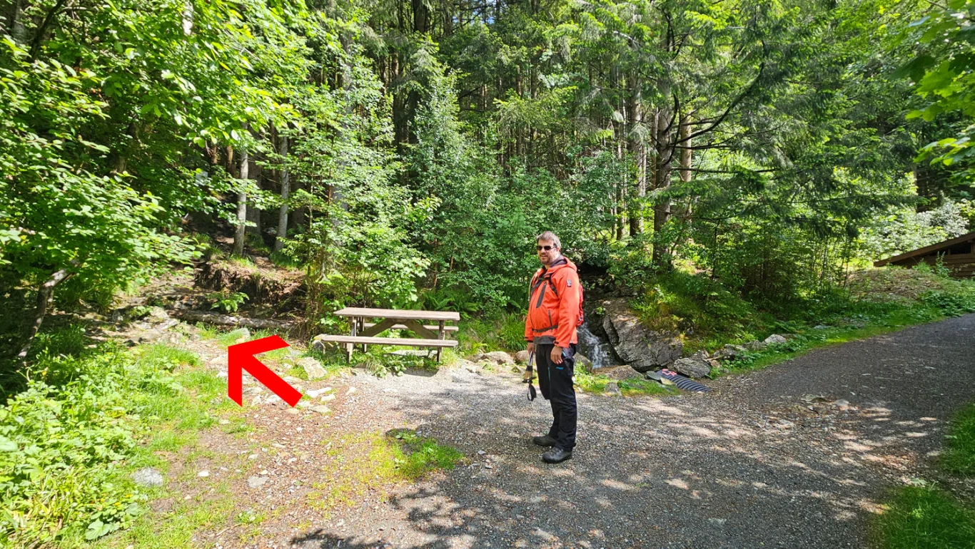
Hiking nearby