
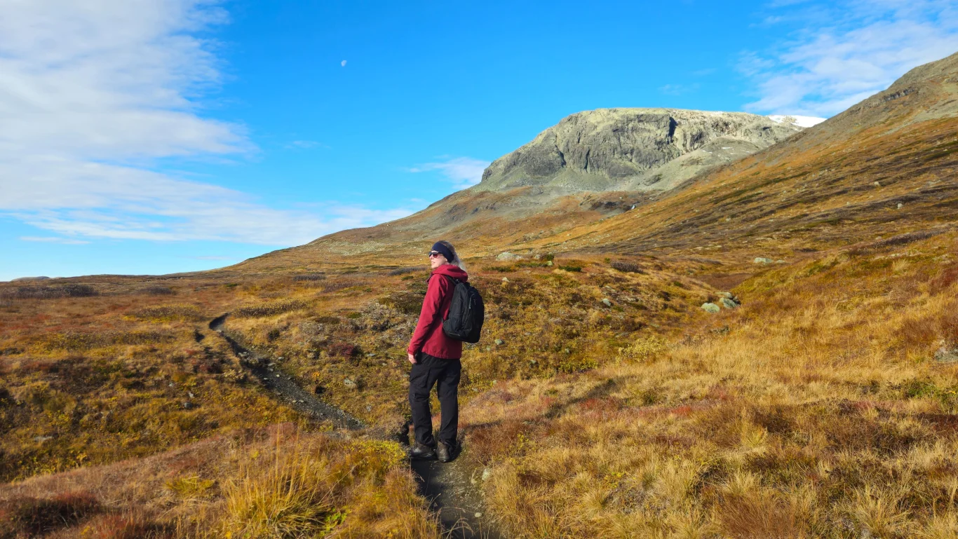
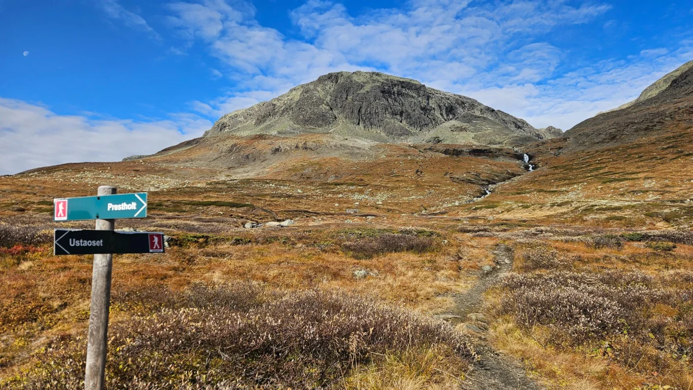
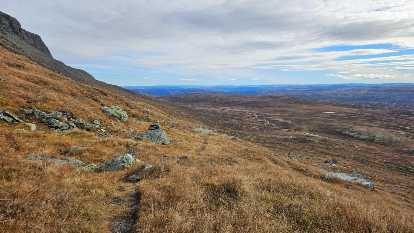
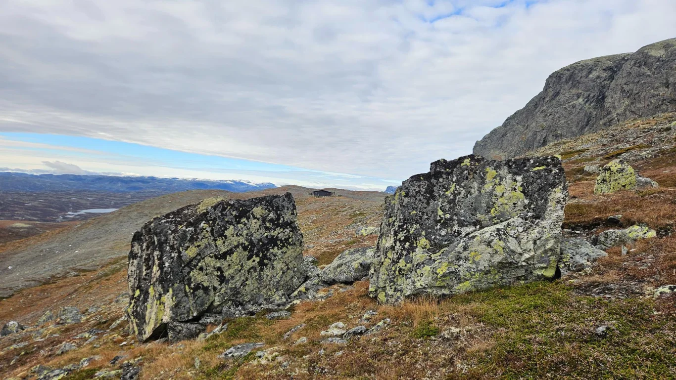
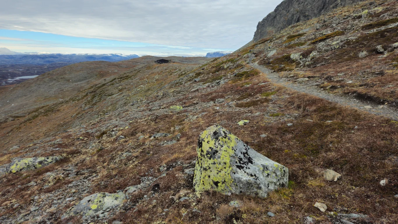
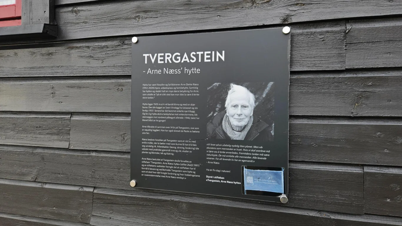
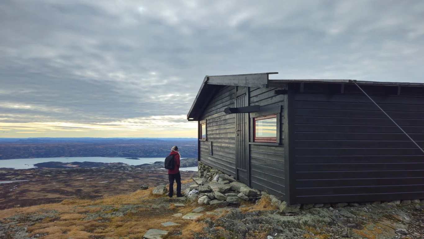
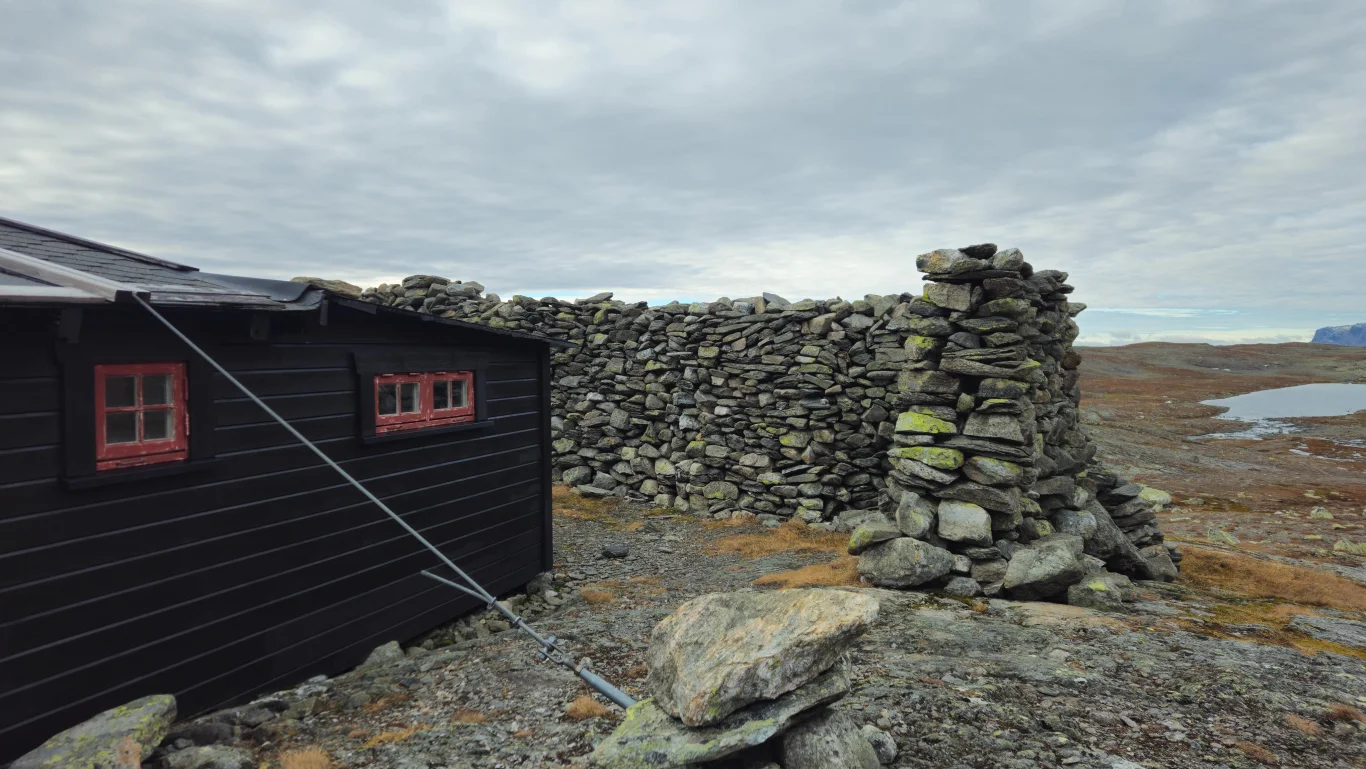
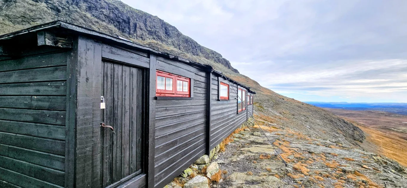
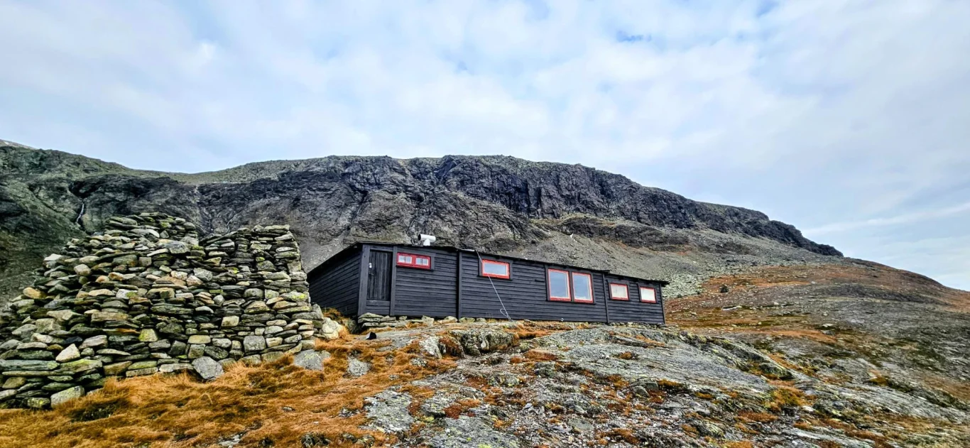
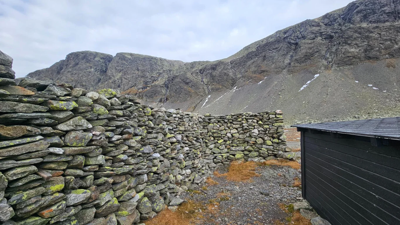
Hike to Tvergastein (1505 m) - Arne Næss cabin at the foot of Hallingskarvet
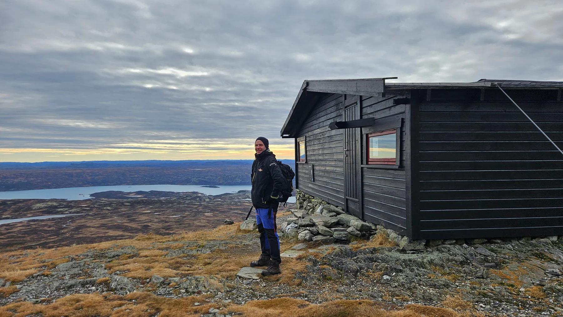
Vandretur til Tvergastein (1505 moh) - Arne Næss hytta ved foten av Hallingskarvet
Photo: Admin

The GPX Track is for guidance only and may contain errors. Use at your own risk.
– always check maps, weather and conditions before your trip.

Access

Approximately 4 hours 15 minutes (256 km) drive from Bergen.
Approx. 3 h 45 min (230 km) drive from Oslo.

Parking

Parking for a fee.

Description

Historic high mountain trip to Arne Næss' Tvergastein.

Start from Prestholtseter (drivable toll road during the bare-ground season). Follow the T-marked path west along Hallingskarvet for about 3.7 km to a crossroads. From here there is no official T-marked path to the cabin (at Næss' request), but a route marked with small cairns: Cross the river and follow a slight scramble northwest towards Hallingskarvet. In some places the path and markings are unclear; keep a steady direction upwards towards the scarp. When you round the ridge you will see Tvergastein. The last part is clear, and the cabin can be seen from a long Distance .

The view from the cabin is great – you can see Ustaoset and large parts of the Hardangervidda plateau, and on very clear days Gaustatoppen can be seen in the Distance . The cabin is managed by a private foundation, so there is no access indoors. If you look up towards Hallingskarvet from the cabin, you will see Skarvereiret (1740 m), the small climbing hut Næss built.

Return: Same way.

Information

Length: Approximately 12 km round trip
Time: Approximately 4-5 hours round trip
Elevation gain: 350 meters
Season: June - Oct
Grading: Medium

Processing elevation data.. .

You use GPX files that you download from our server 100% at your own risk.

Accommodation nearby
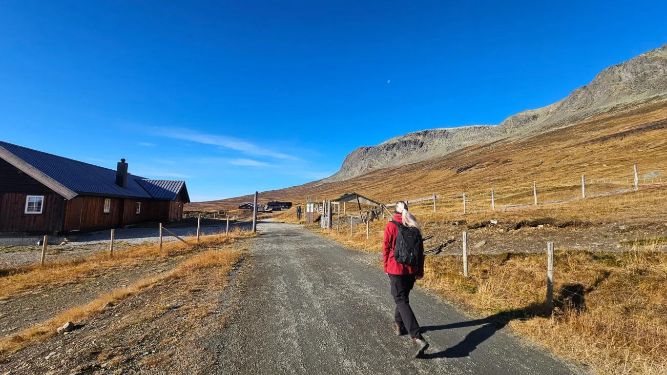
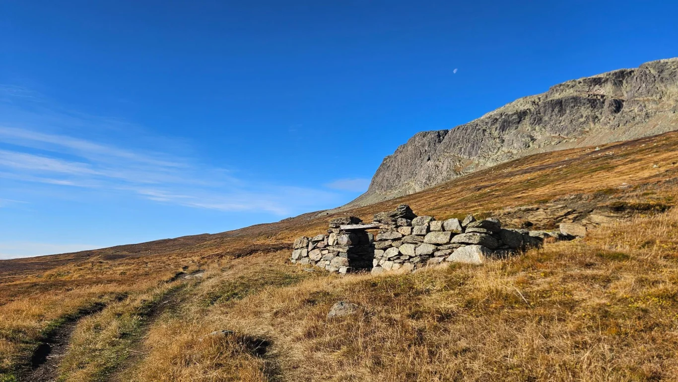
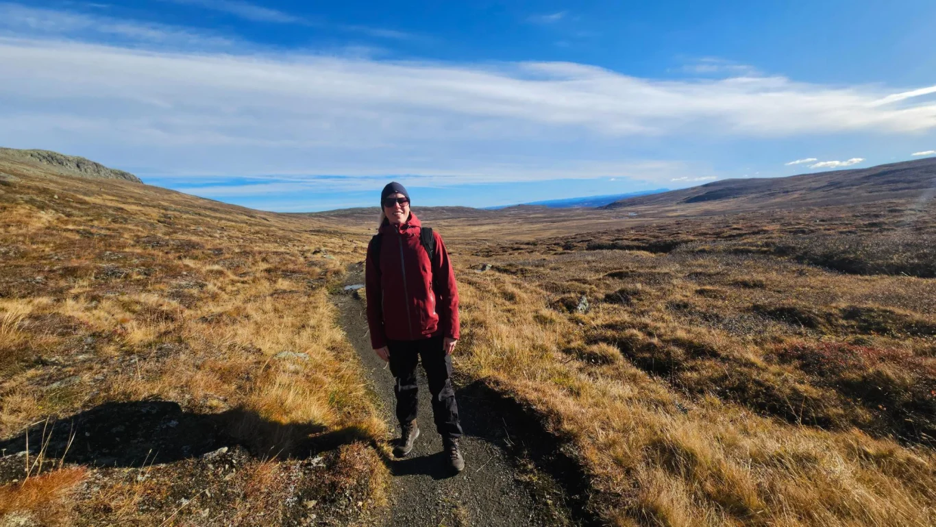
Hiking nearby