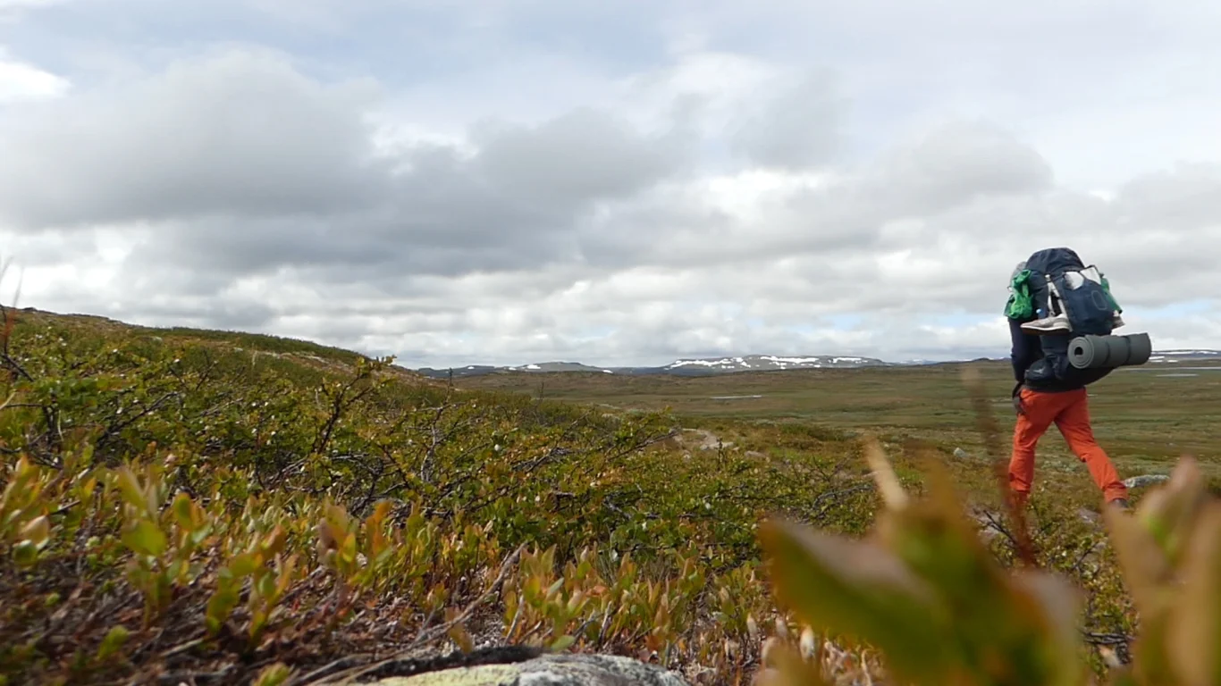
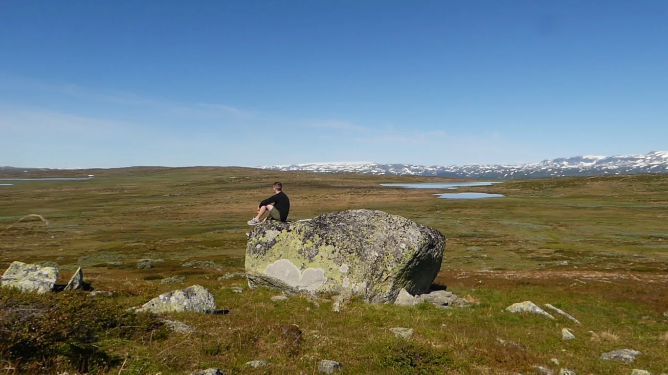
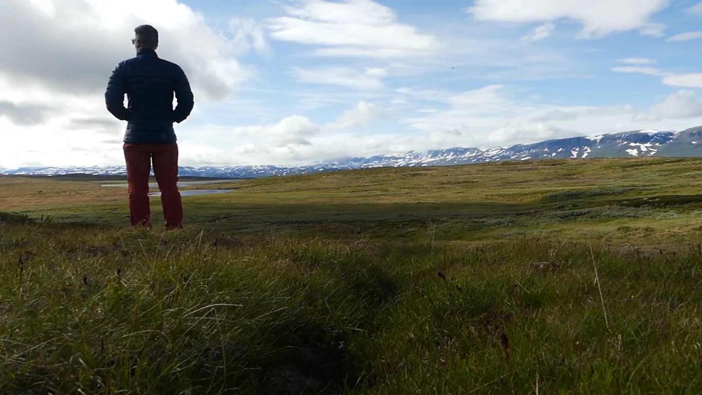
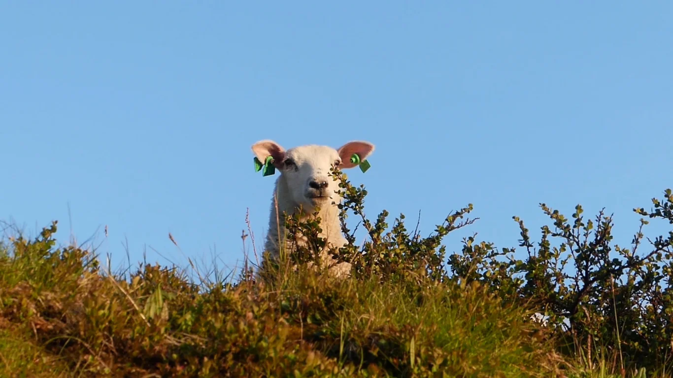
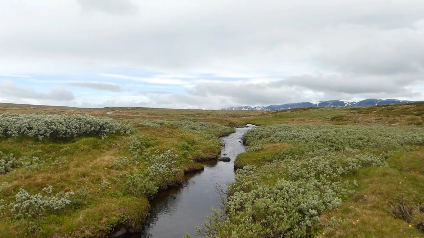
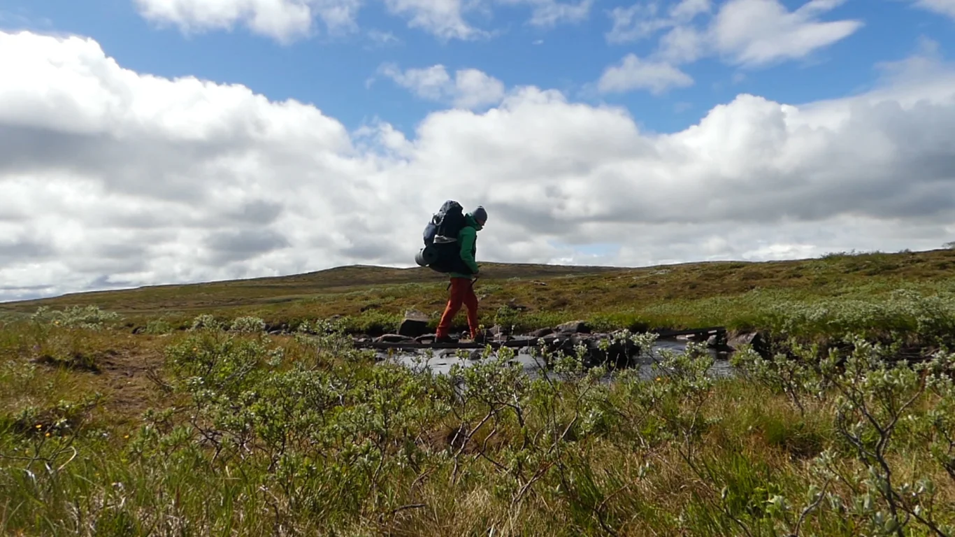
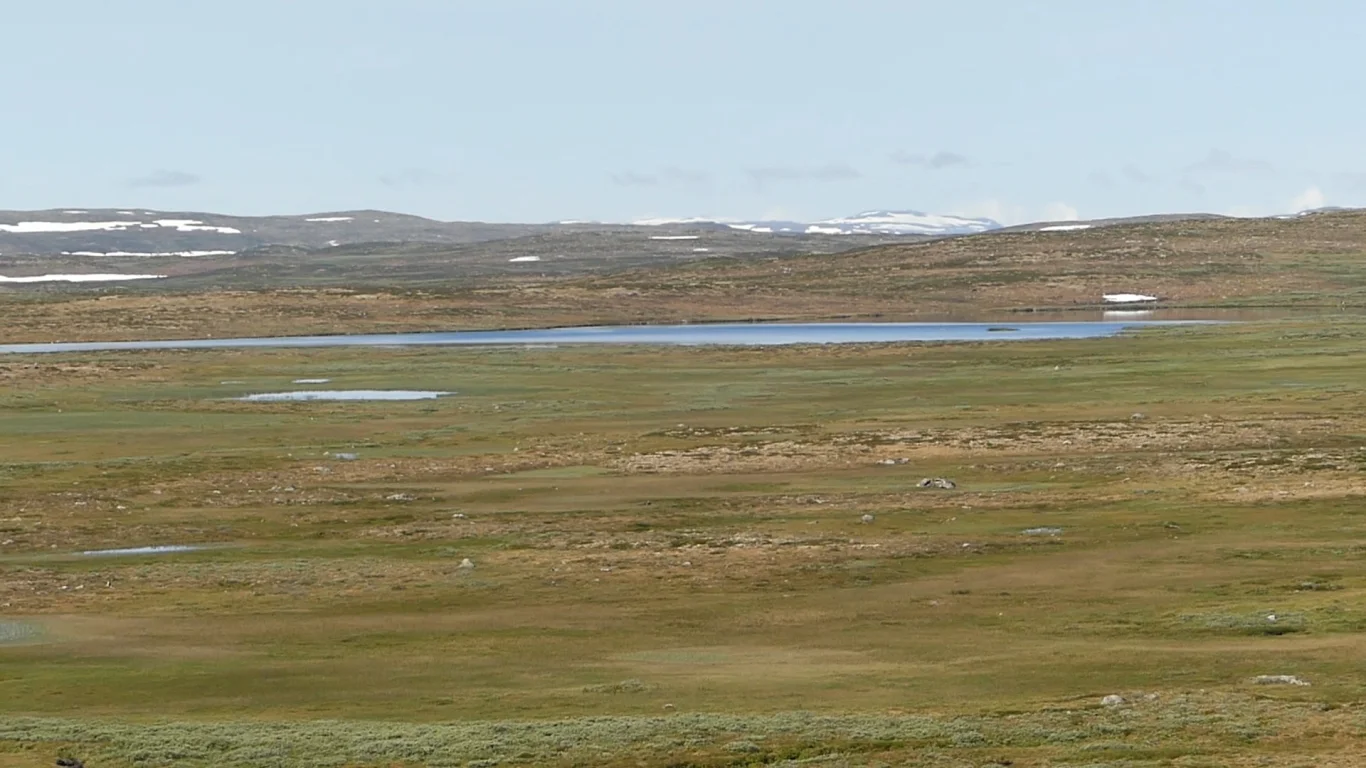
Tent trip on Hardangervidda from Ustaoset
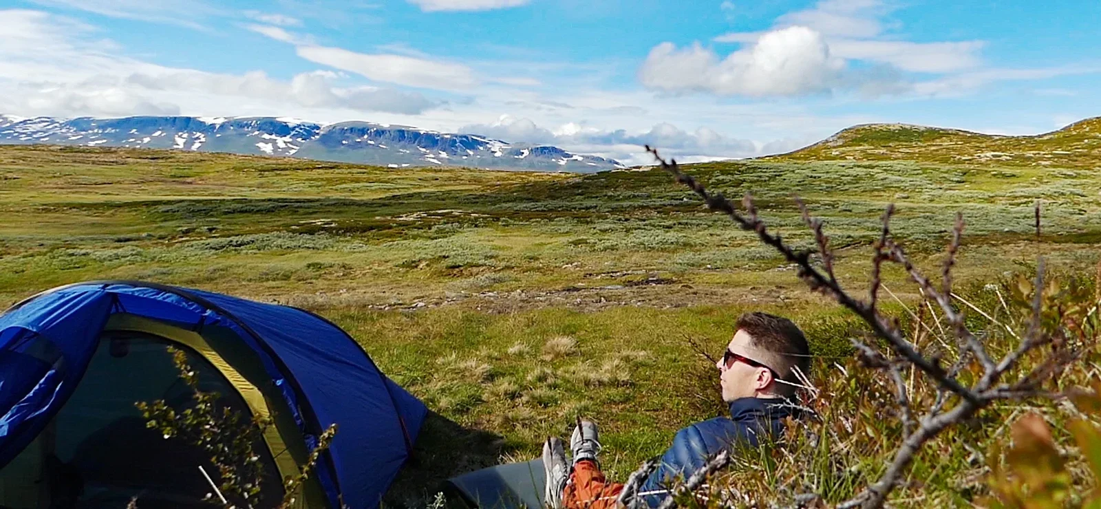
Photo: Admin
Information

Processing elevation data.. .
You use GPX files that you download from our server 100% at your own risk.
Accommodation nearby


Featured
Distance
16.31 Km

Hot
Distance
22.2 Km
Hiking nearby


Hot
Distance
9.02 Km


Hike to Tvergastein (1505 m) - Arne Næss cabin at the foot of Hallingskarvet - Hol, Buskerud
Premium
Distance
10.4 Km


