
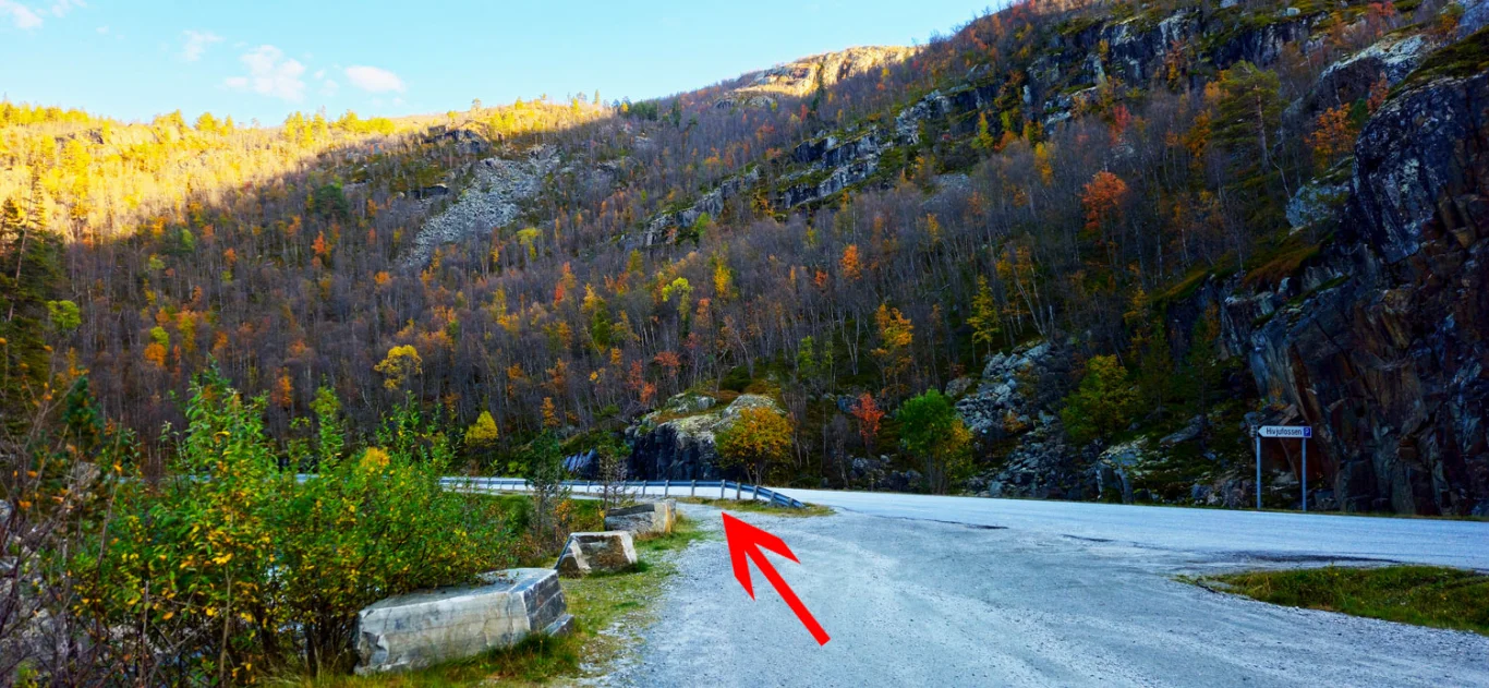
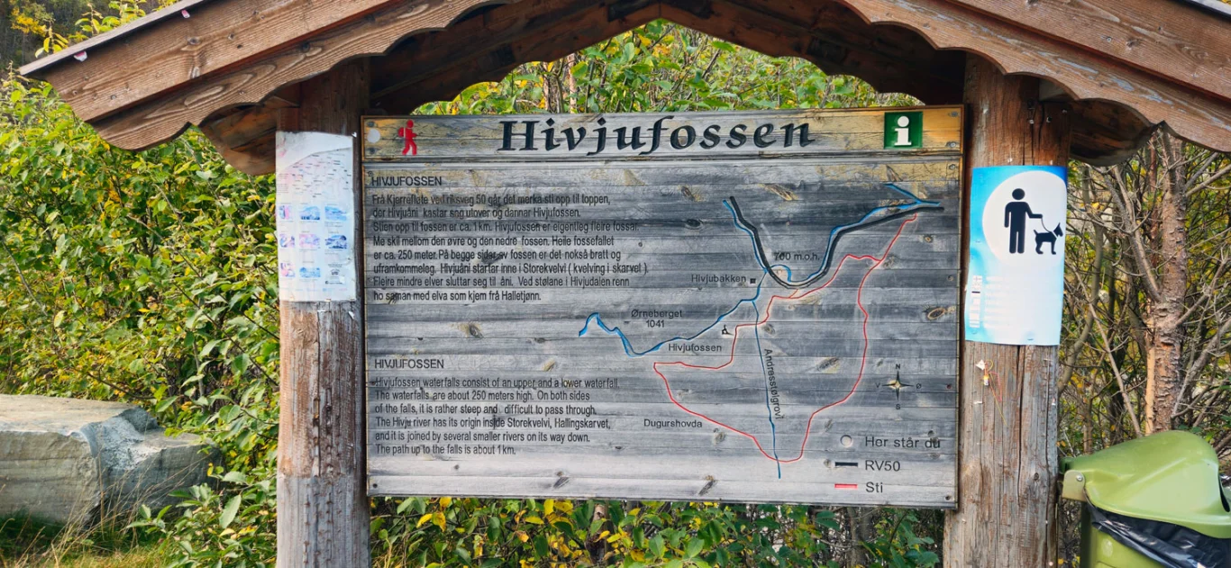
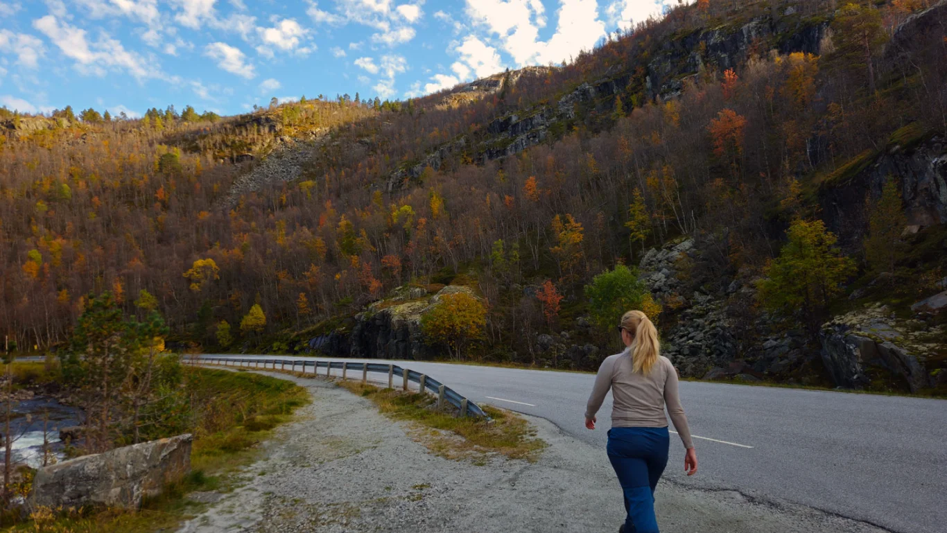
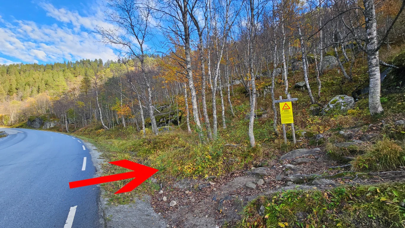
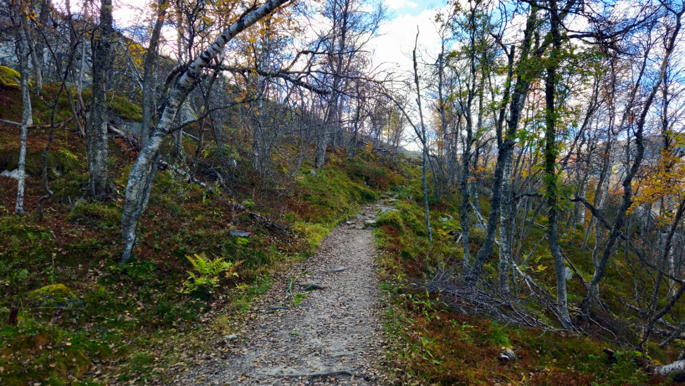
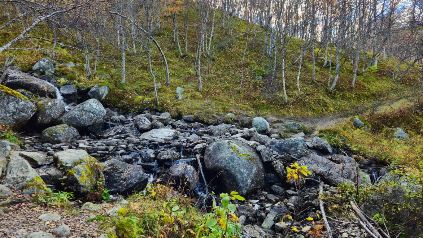
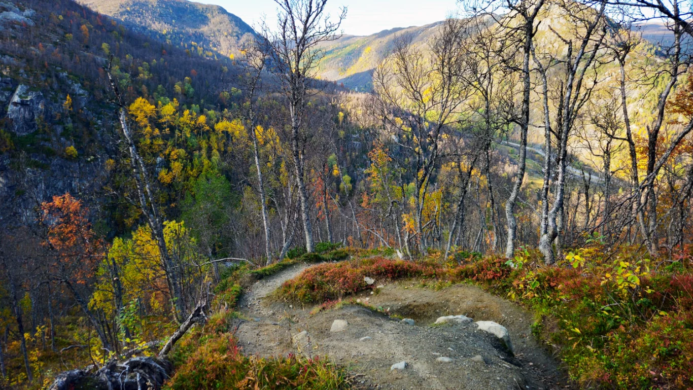
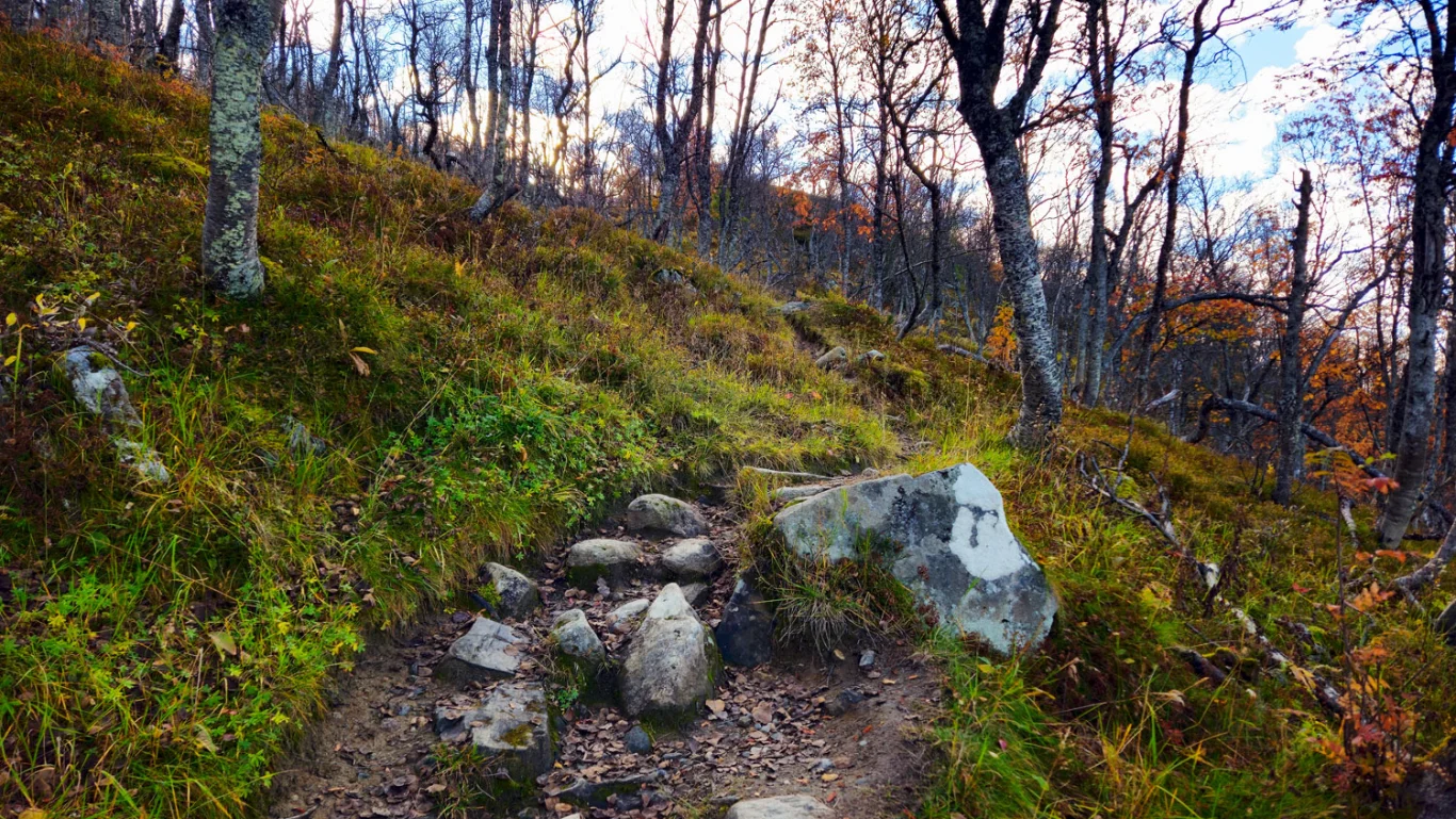
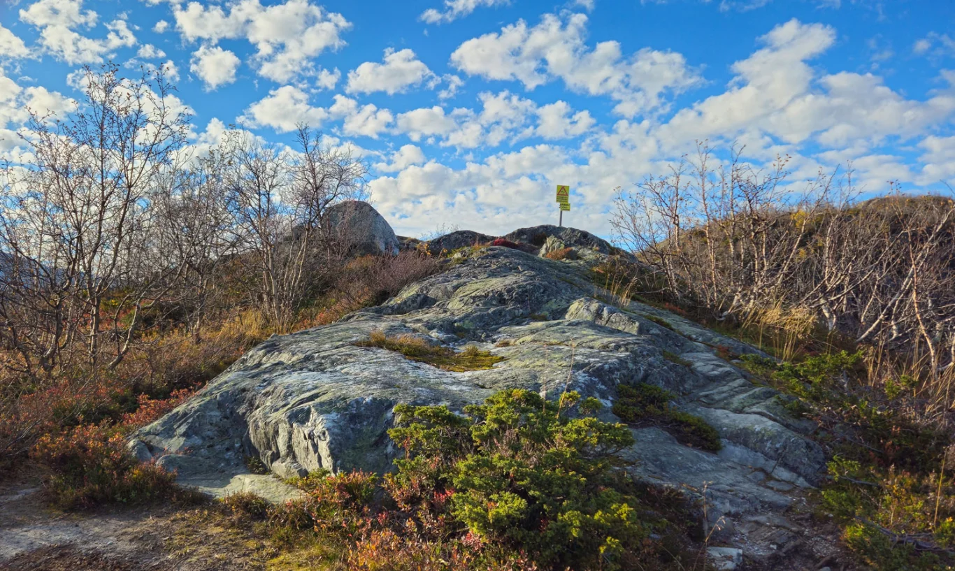
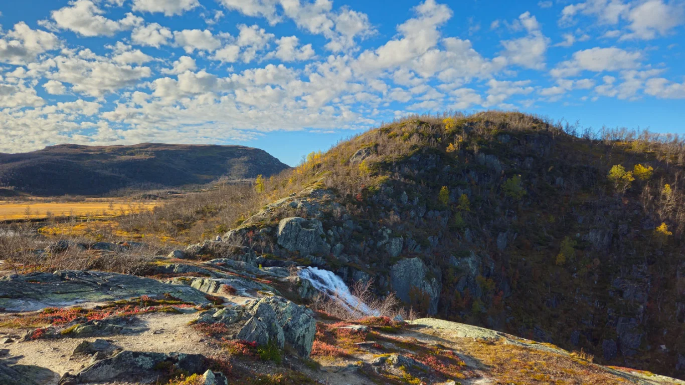
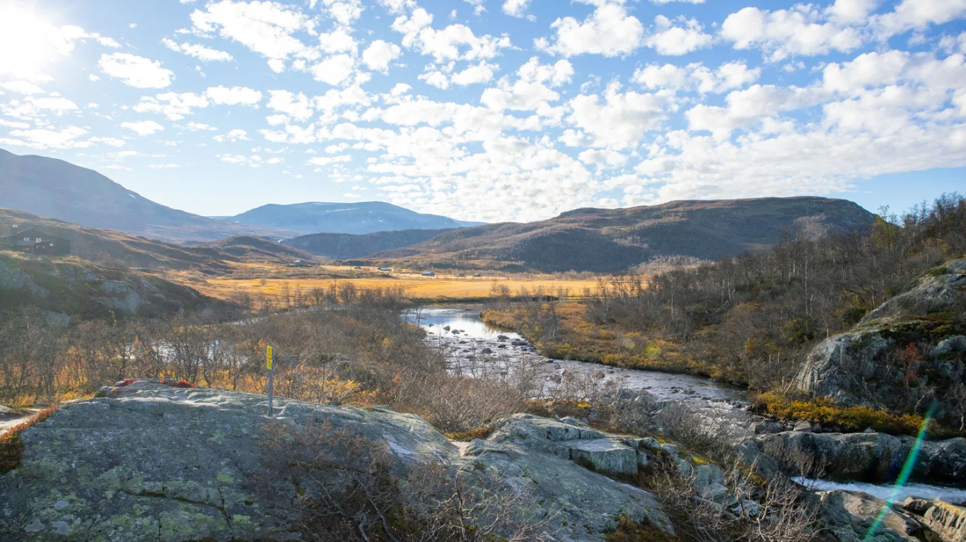
Hike to the 250-meter-high Hivjufossen waterfall
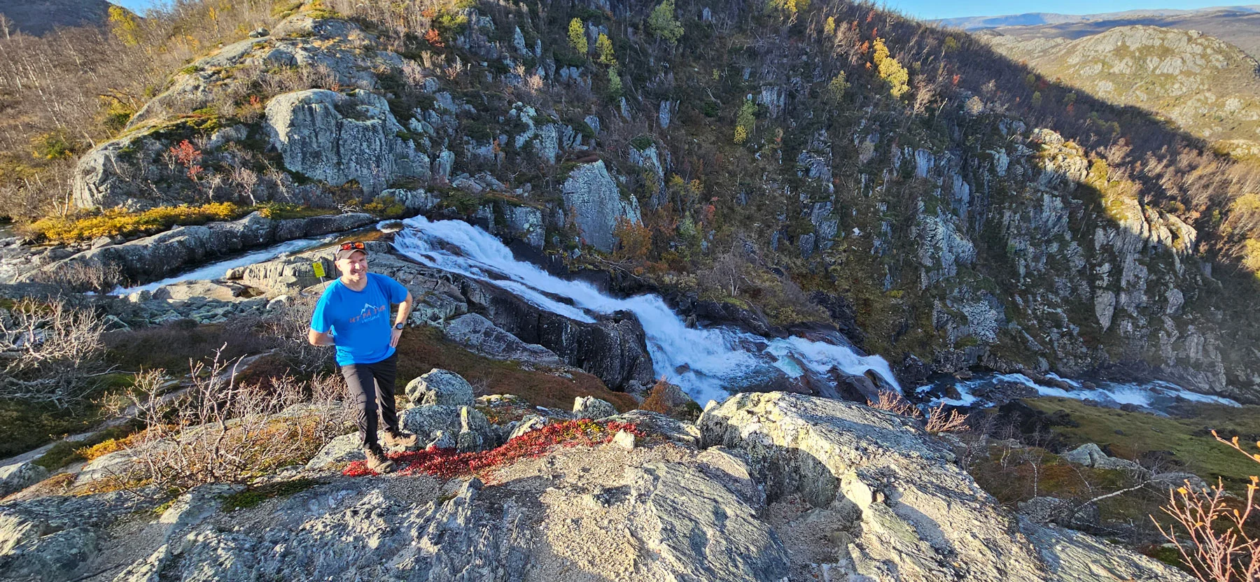
Vandretur til den 250 meter høye Hivjufossen
Photo: Admin

The GPX Track is for guidance only and may contain errors. Use at your own risk.
– always check maps, weather and conditions before your trip.

Access

Approximately 4 hours 2 minutes (253 km) drive from Bergen.
Approximately 30 min (27.0 km) drive from Geilo.

Parking

Free parking. Large parking lot along the road.

Description

Hivjufossen, one of Buskerud's most beautiful waterfalls, is located near Hovet (Hol) in Hallingdal, about a 30-minute drive from Geilo.

From the large parking lot, walk about 200 meters along the main road until you reach a new parking lot. On the opposite side of the road you will find a sign marked 'Hivjufossen' where the trail starts. The trail is well-trodden with a steady incline at the beginning. After a while it flattens out, and you will come to a bench with a view of the largest waterfall. Then follows another steep section. The trail curves in an arc away from the waterfall before flattening out again and leading you to the top.

At the top of the waterfall, which is located approximately 1000 meters above sea level, you can admire the impressive waterfall of about 250 meters. The waterfall is especially spectacular in spring when the snow melts and the rivers rise.

The return journey takes place along the same route.

Information

Length: Approximately 4 km round trip
Time: Approximately 1 hour 30 minutes round trip
Elevation gain: 294 meters
Season: May - Nov
Grading: Simple

Processing elevation data.. .

You use GPX files that you download from our server 100% at your own risk.

Accommodation nearby

Hiking nearby